Beresford Dale
Valley in Staffordshire Staffordshire Moorlands
England
Beresford Dale
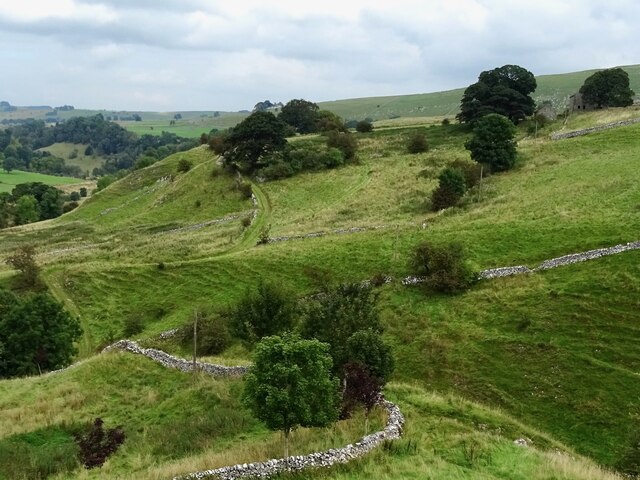
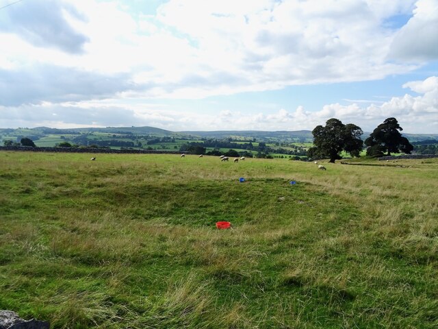
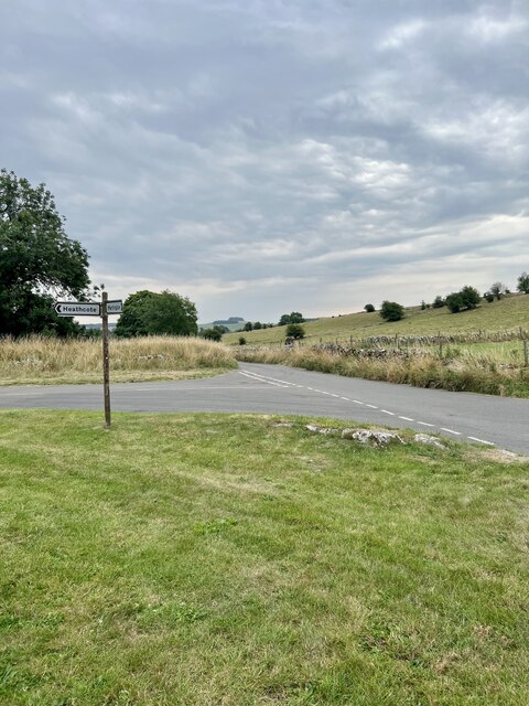
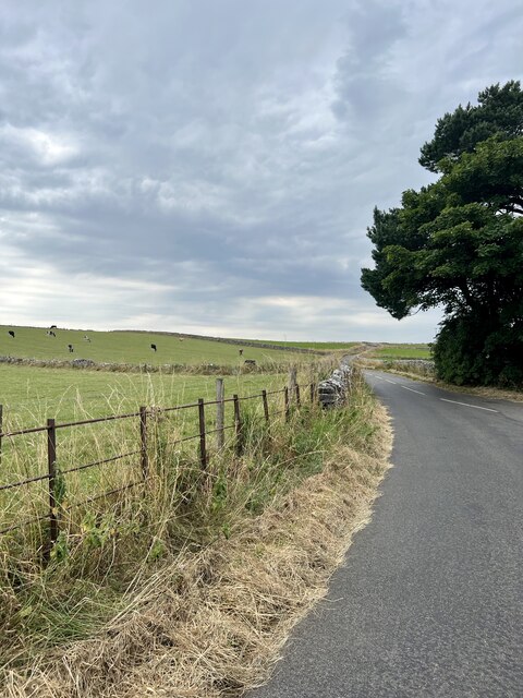
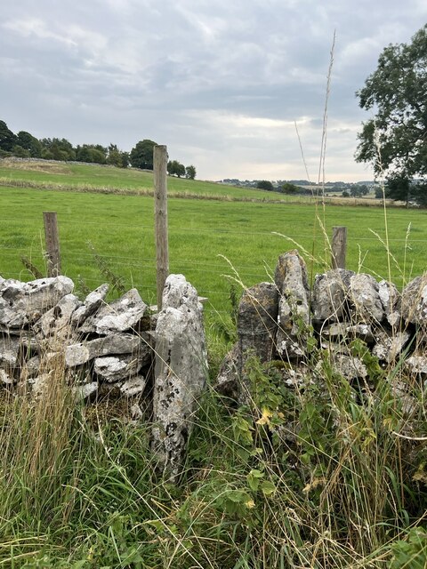
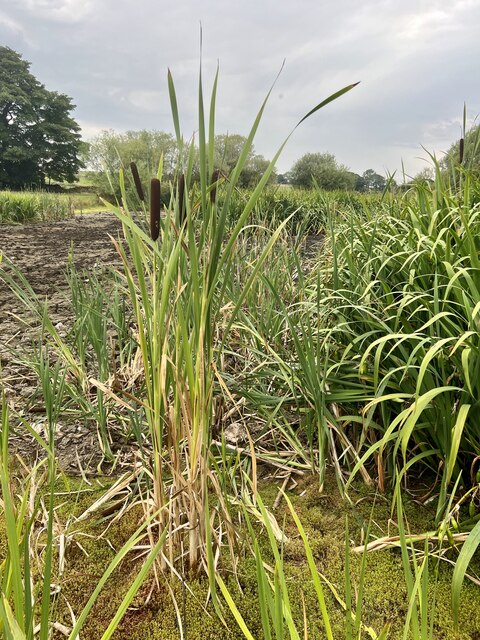
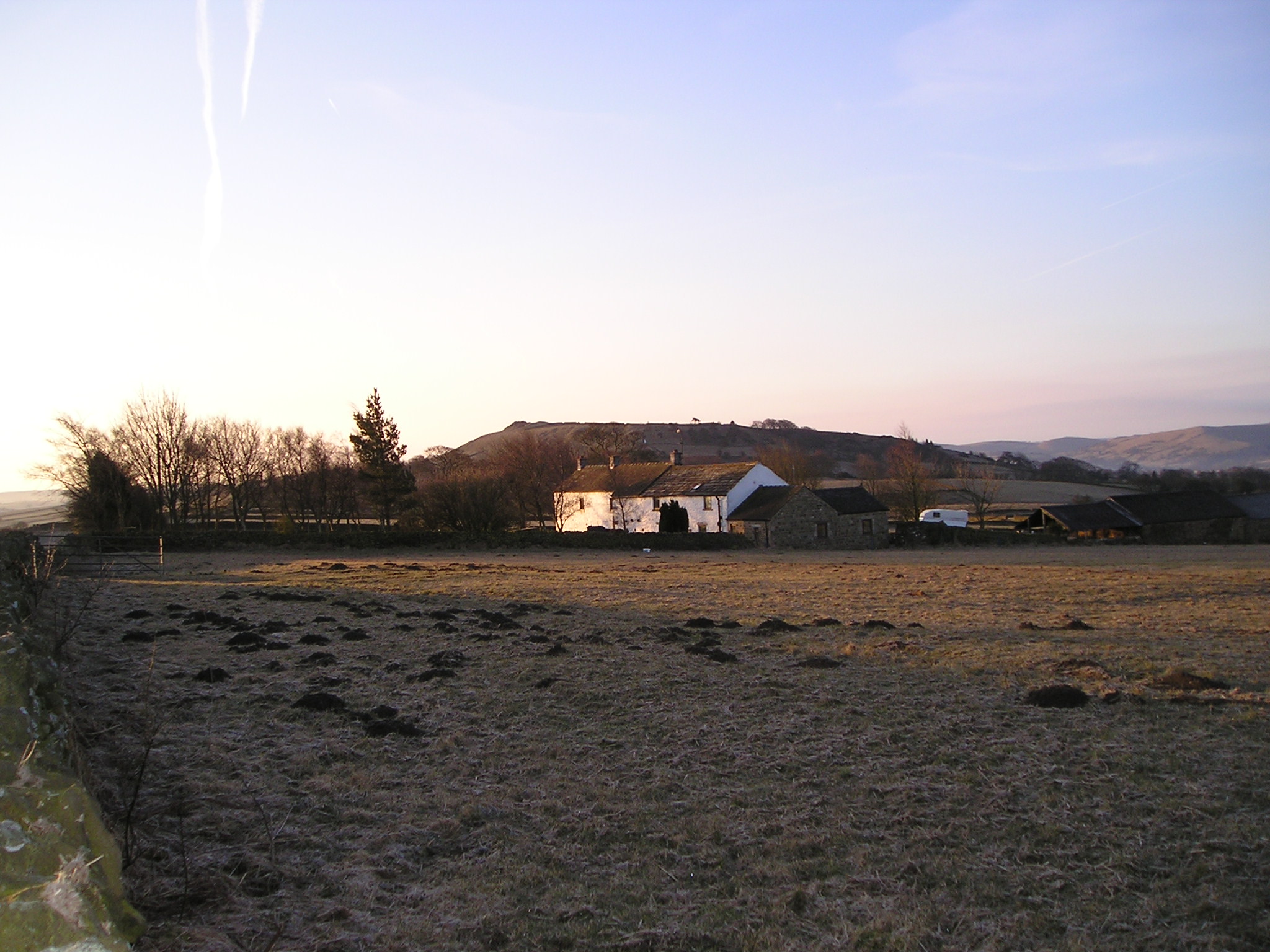
Beresford Dale is a picturesque valley located in the county of Staffordshire, England. Situated on the banks of the River Dove, it is renowned for its stunning natural beauty and tranquil surroundings. The valley stretches for approximately 3 miles, encompassing lush green meadows, limestone cliffs, and crystal-clear streams.
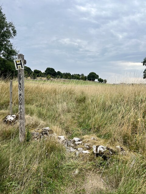
The area is a popular destination for outdoor enthusiasts, offering a variety of activities such as hiking, birdwatching, and fishing. The walking trail along the riverbank provides breathtaking views of the surrounding countryside, with opportunities to spot wildlife such as kingfishers, otters, and various species of birds.
Beresford Dale is also steeped in history, with remnants of an old corn mill and the ruins of Beresford Hall adding a sense of charm to the landscape. The mill, once a bustling hub of activity, now stands as a silent reminder of the area's industrial past.
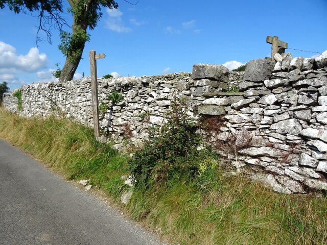
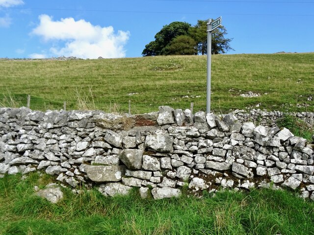
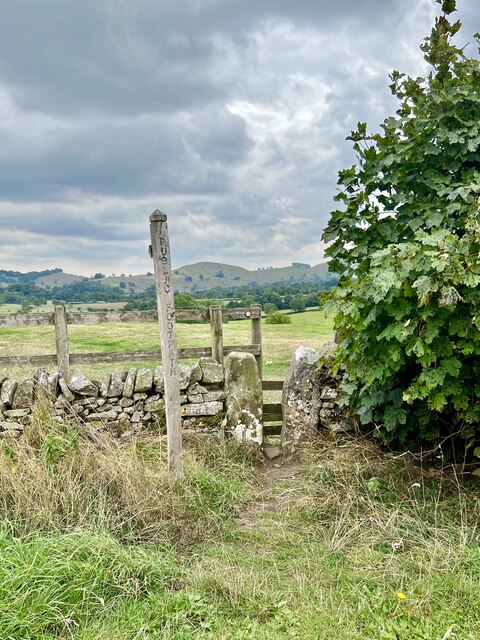
The valley is easily accessible, with nearby parking facilities and several footpaths leading into the dale. Visitors can enjoy a leisurely stroll along the river or explore the surrounding woodlands and caves. The calm and peaceful atmosphere makes it an ideal spot for a picnic or simply to unwind and soak in the natural beauty.
Overall, Beresford Dale is a hidden gem in Staffordshire, offering a picturesque escape from the hustle and bustle of everyday life. Its idyllic scenery, rich history, and abundance of outdoor activities make it a must-visit destination for nature lovers and those seeking a peaceful retreat.
If you have any feedback on the listing, please let us know in the comments section below.
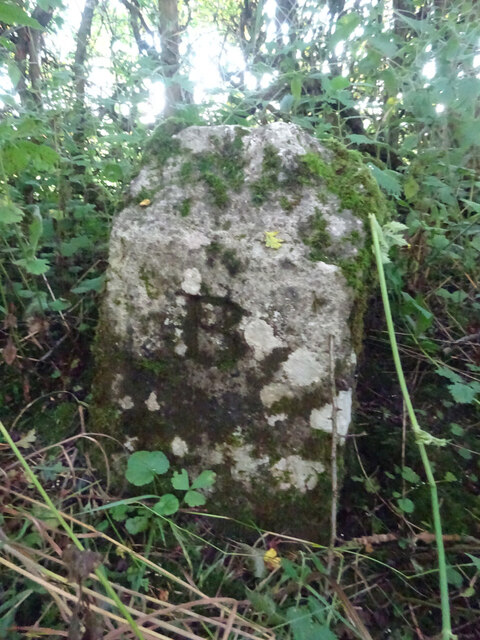
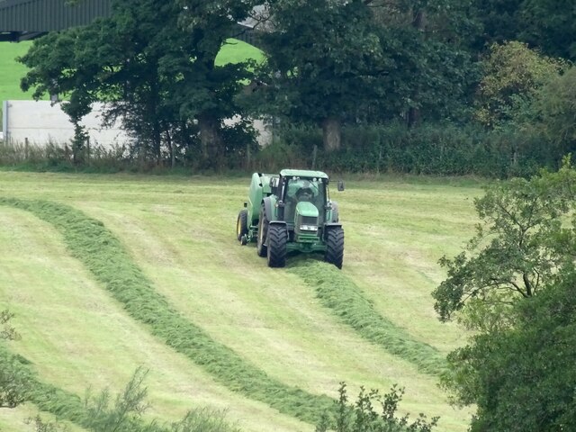
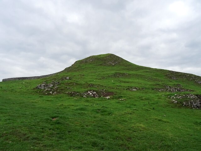
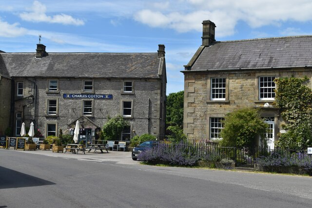
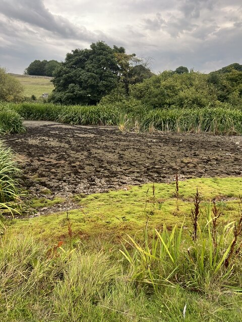
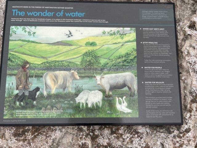
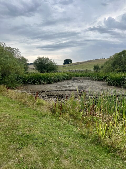
Beresford Dale Images
Images are sourced within 2km of 53.12735/-1.8103599 or Grid Reference SK1258. Thanks to Geograph Open Source API. All images are credited.
Beresford Dale is located at Grid Ref: SK1258 (Lat: 53.12735, Lng: -1.8103599)
Administrative County: Staffordshire
District: Staffordshire Moorlands
Police Authority: Staffordshire
What 3 Words
///ejects.acids.obstruct. Near Newhaven, Derbyshire
Nearby Locations
Related Wikis

Wolfscote Hill
Wolfscote Hill is a limestone hill near the village of Hartington in the Derbyshire Peak District. The summit is 388 metres (1,273 ft) above sea level...
Hartington Hall
Hartington Hall is a much altered and extended 17th-century manor house at Hartington, Derbyshire, now a youth hostel. The Hall was built by the Bateman...

Hartington, Derbyshire
Hartington is a village in the centre of the White Peak area of the Derbyshire Peak District, England, lying on the River Dove which is the Staffordshire...

Hulme End
Hulme End () is a small hamlet in Staffordshire, England. It is located in the Peak District National Park about 10 miles north of Ashbourne. A natural...
Hulme End railway station
Hulme End railway station is a disused railway station in Staffordshire, England. The station was the terminus of the 2 ft 6 in (762 mm) Leek and Manifold...

Biggin (Dovedale and Parwich Ward)
Biggin is a village in the Derbyshire Dales district of Derbyshire, England. It is part of the Hartington Nether Quarter parish, and is in the Peak District...
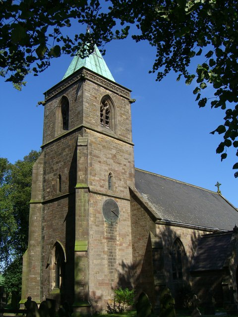
Church of St Luke, Sheen, Staffordshire
The Church of St Luke, Sheen, Staffordshire is a Grade II* listed Anglican church. Its origins are of the 14th century, but it was largely rebuilt in the...
Sheen, Staffordshire
Sheen is a village and civil parish in north-east Staffordshire, England. The parish is about 3.5 miles (5.6 km) north to south and about 2 miles (3.2...
Related Videos

Peak District - 13 mile loop taking in Carder Low & High Wheeldon.
It was my birthday so I decided to take a day off work and go explore another route in the Peak District National Park. I planned a ...

Tranquility of Wolfscote Dale: Peak District | Solo Hiking
Solo Hiking - 5K Cinematic Short Film: The Tranquility of Wolfscote Dale - Derbyshire Dales - Peak District - UK | Solo Traveler ...
156: Hartington, Biggin Dale and Beresford Dale (Peak District 2021)
PEAK DISTRICT WALK FEATURING HARTINGTON, BIGGIN DALE AND BERESFORD DALE "Hartington, Biggin Dale and ...

Pram Friendly Walks in the Peak District E:1 Hartington Station
I'm trying out some new ideas. I thought Pram/Pushchair friendly walks might be a good start. A short walk along the Tissington ...
Nearby Amenities
Located within 500m of 53.12735,-1.8103599Have you been to Beresford Dale?
Leave your review of Beresford Dale below (or comments, questions and feedback).