Pike Pool
Lake, Pool, Pond, Freshwater Marsh in Derbyshire Derbyshire Dales
England
Pike Pool
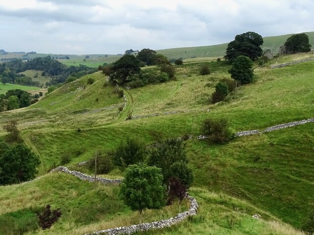
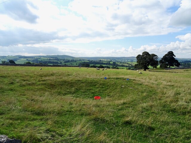
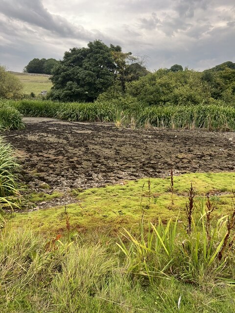
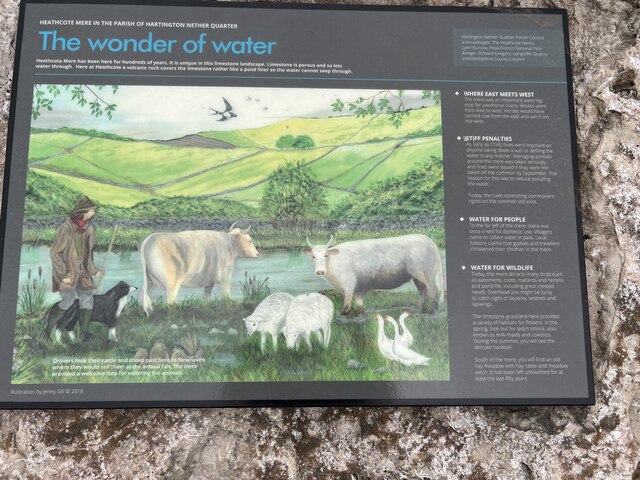
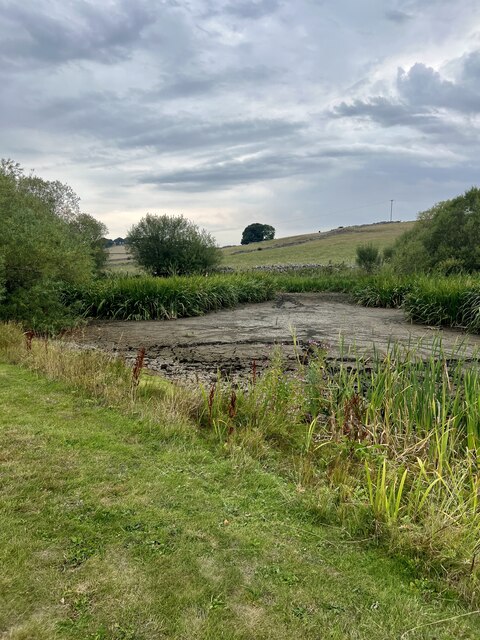
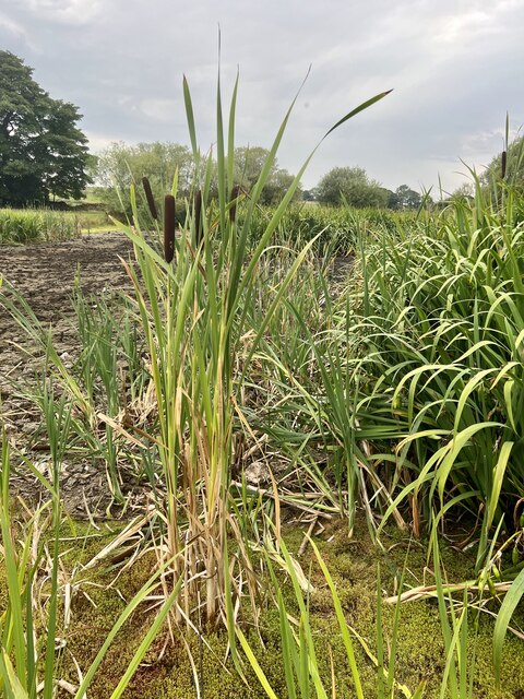
Pike Pool, located in Derbyshire, England, is a serene and picturesque freshwater marsh that offers visitors a tranquil escape into the heart of nature. Spanning an area of approximately 2.5 acres, this scenic pool is nestled amidst rolling hills and lush greenery, creating a captivating backdrop for those seeking a peaceful retreat.
The pool itself is home to a diverse range of aquatic life, including an abundance of pike fish, from which it derives its name. Fishing enthusiasts are often drawn to Pike Pool, as its waters provide an excellent opportunity to engage in angling activities and test their skills in catching these elusive creatures.
Surrounding the pool, an array of wildlife can be observed, making it a popular destination for nature lovers and birdwatchers. The tranquil environment provides a perfect habitat for numerous bird species, including herons, ducks, and geese, which can often be spotted gracefully gliding across the water's surface or nesting in the surrounding trees.
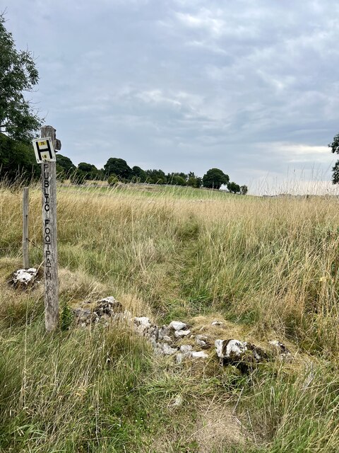
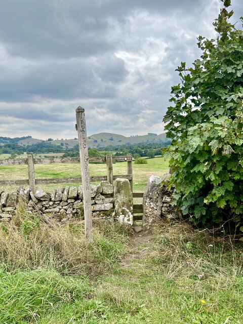
Visitors to Pike Pool can also enjoy leisurely walks along the well-maintained footpaths that wind their way through the adjacent woodlands. These paths offer stunning views of the pool and its surroundings, allowing visitors to immerse themselves in the natural beauty of the area.
Overall, Pike Pool in Derbyshire is a hidden gem, offering a peaceful retreat for those seeking solace in nature. With its diverse wildlife, excellent fishing opportunities, and breathtaking scenery, it is a must-visit destination for anyone looking to reconnect with the great outdoors.
If you have any feedback on the listing, please let us know in the comments section below.
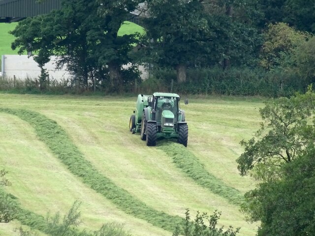
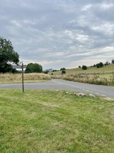
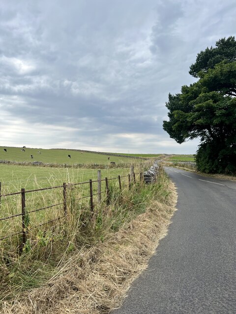
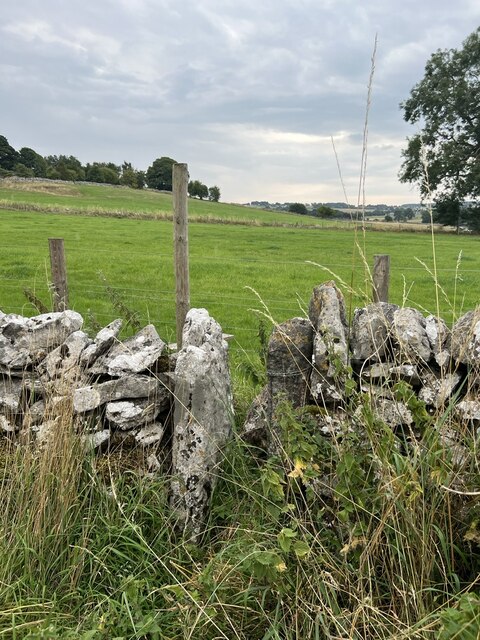
Pike Pool Images
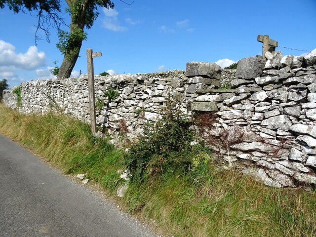
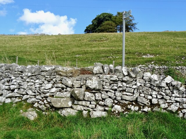
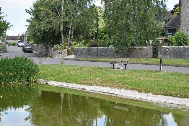
Images are sourced within 2km of 53.126773/-1.8094508 or Grid Reference SK1258. Thanks to Geograph Open Source API. All images are credited.
Pike Pool is located at Grid Ref: SK1258 (Lat: 53.126773, Lng: -1.8094508)
Administrative County: Derbyshire
District: Derbyshire Dales
Police Authority: Derbyshire
What 3 Words
///expiring.tools.driven. Near Newhaven, Derbyshire
Nearby Locations
Related Wikis

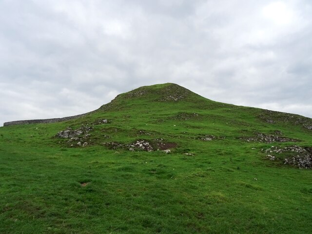
Wolfscote Hill
Wolfscote Hill is a limestone hill near the village of Hartington in the Derbyshire Peak District. The summit is 388 metres (1,273 ft) above sea level...
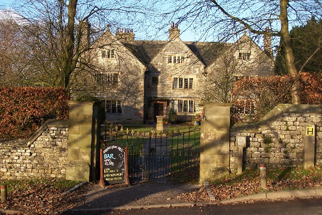
Hartington Hall
Hartington Hall is a much altered and extended 17th-century manor house at Hartington, Derbyshire, now a youth hostel. The Hall was built by the Bateman...

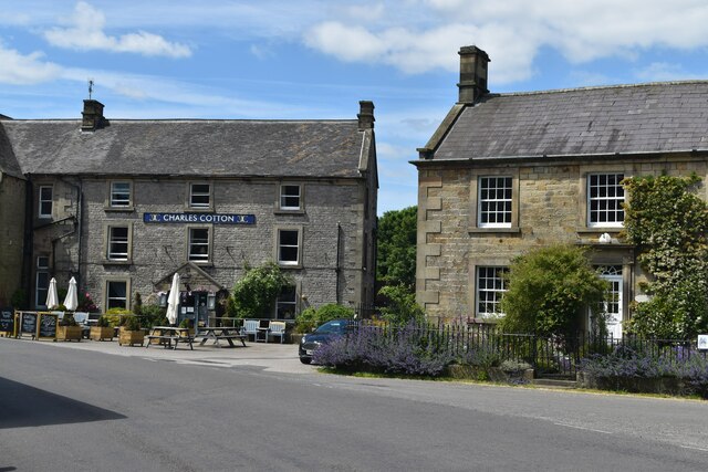
Hartington, Derbyshire
Hartington is a village in the centre of the White Peak area of the Derbyshire Peak District, England, lying on the River Dove which is the Staffordshire...

Hulme End
Hulme End () is a small hamlet in Staffordshire, England, in the Peak District National Park 10 miles north of Ashbourne, Derbyshire. A natural gateway...
Nearby Amenities
Located within 500m of 53.126773,-1.8094508Have you been to Pike Pool?
Leave your review of Pike Pool below (or comments, questions and feedback).