Fairy Dell

Valley in Yorkshire Harrogate

England

Fairy Dell

Middleton Moor To the right is farmland, whereas by contrast to the left is rough grassland pasture now designated as access land.
Middleton Moor Credit: David Spencer

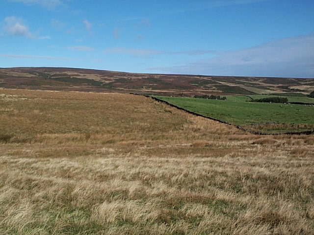
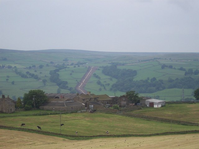
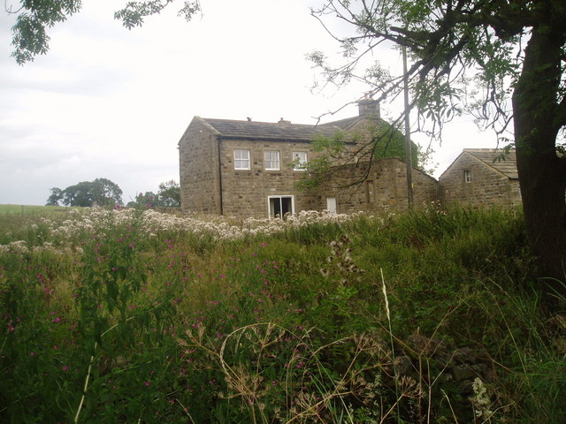
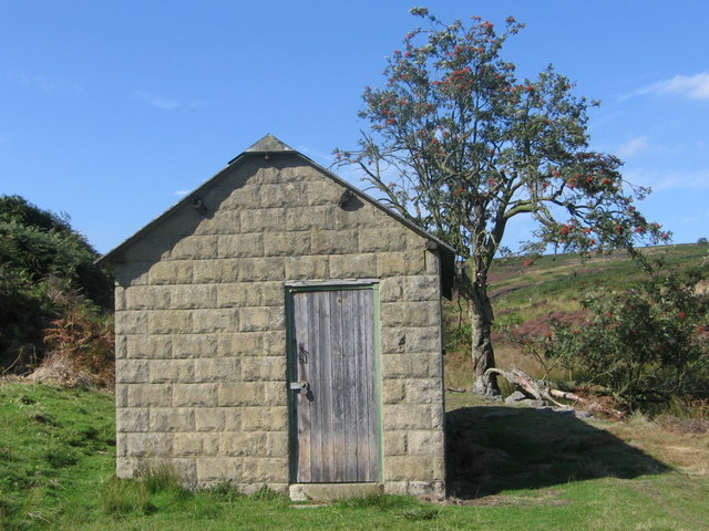
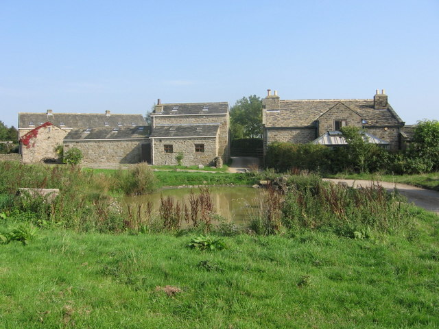
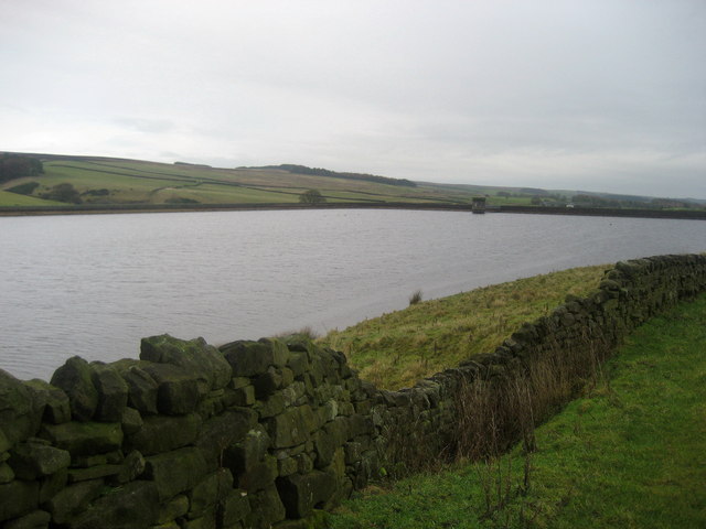
Fairy Dell is a picturesque valley located in the county of Yorkshire, England. Nestled within the North York Moors National Park, this enchanting destination is renowned for its natural beauty and tranquil surroundings.

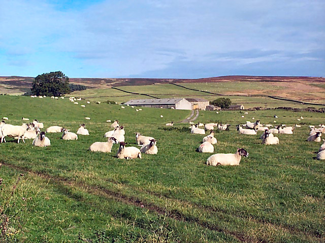
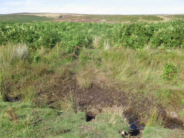
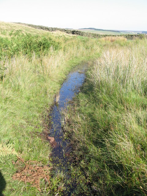
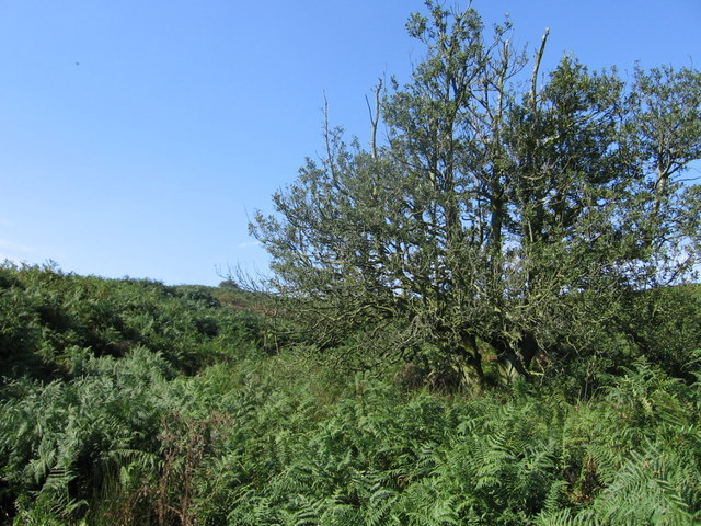
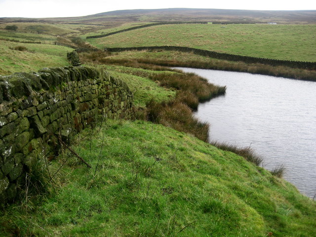
The valley is adorned with a meandering stream that adds to its charm. Lined with lush vegetation, the dell boasts a diverse range of flora and fauna, making it a haven for nature enthusiasts. Visitors can expect to encounter a variety of wildflowers, ancient trees, and vibrant birdlife, creating a truly immersive experience with nature.

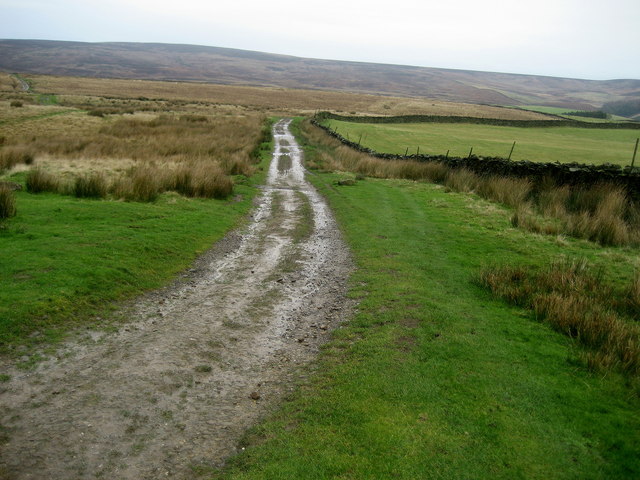
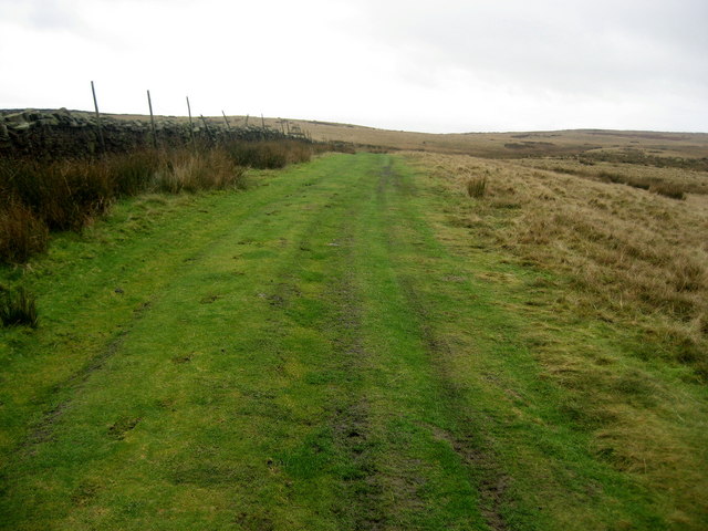
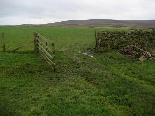
Fairy Dell offers a network of well-maintained walking trails, allowing visitors to explore the valley at their own pace. The paths wind through the valley, offering breathtaking views of the surrounding countryside. As visitors traverse the trails, they may stumble upon charming wooden bridges and secluded picnic spots, perfect for enjoying a leisurely afternoon amidst the idyllic landscape.

The valley's name, Fairy Dell, evokes a sense of magic and wonder. Legend has it that the dell is home to mythical creatures and fairies, adding to the allure of the location. Many visitors are drawn to Fairy Dell for its mystical ambiance, seeking solace and a connection to nature.

Overall, Fairy Dell presents a serene retreat in the heart of Yorkshire. Its natural beauty, diverse wildlife, and enchanting atmosphere make it a must-visit destination for those seeking respite from the hustle and bustle of everyday life.

If you have any feedback on the listing, please let us know in the comments section below.

Fairy Dell Images

Images are sourced within 2km of 53.953825/-1.8078694 or Grid Reference SE1250. Thanks to Geograph Open Source API. All images are credited.

Middleton Moor To the right is farmland, whereas by contrast to the left is rough grassland pasture now designated as access land.
Middleton Moor
To the right is farmland, whereas by contrast to the left is rough grassland pasture now designated as access land.
Sheep near East Moor House Farm Farmland typical of this area on the south facing slopes of Langbar and Denton moors. Denton Moor is on the horizon beyond the farm.
Sheep near East Moor House Farm
Farmland typical of this area on the south facing slopes of Langbar and Denton moors. Denton Moor is on the horizon beyond the farm.
Middleton Moor, Ilkley Actually taken from the other side of the Wharfe valley on Cocking Lane above Addingham. Picture shows construction of a pipeline across the moor. What is it - any ideas??
Middleton Moor, Ilkley
Actually taken from the other side of the Wharfe valley on Cocking Lane above Addingham. Picture shows construction of a pipeline across the moor. What is it - any ideas??
Shooting Hut
Shooting Hut
Hardisty's Farm
Hardisty's Farm
Gateway Gate across track leading down from Denton Moor to Denton
Gateway
Gate across track leading down from Denton Moor to Denton
Loftshaw Gill Shooting Shelter
ROMAN ROAD (course of), Middleton Moor Located using Garmin GPS! 
The point at which the course of the Roman road crosses the lower reaches of Loftshaw Gill.
ROMAN ROAD (course of), Middleton Moor
Located using Garmin GPS! The point at which the course of the Roman road crosses the lower reaches of Loftshaw Gill.
Delves Beck
Delves Beck
Middle Gill, Bracken Ridge The gill (to the left of the tree) can be heard but not seen, completely obscured by bracken!
Middle Gill, Bracken Ridge
The gill (to the left of the tree) can be heard but not seen, completely obscured by bracken!
Hathenshaw Farm The lane passes between the buildings.
Note the pond in the foreground.
Hathenshaw Farm
The lane passes between the buildings. Note the pond in the foreground.
Grouse butt Butt on Denton Moor positioned to leave little time to sight the birds as they come over the rise.
Grouse butt
Butt on Denton Moor positioned to leave little time to sight the birds as they come over the rise.
Middleton Moor Milestone "To Knarsbrough [Knaresborough] 11 Ms [Miles]. Other sides read "To Skipton 6 Ms" and "To Otley 6 Ms".
Middleton Moor Milestone
"To Knarsbrough [Knaresborough] 11 Ms [Miles]. Other sides read "To Skipton 6 Ms" and "To Otley 6 Ms".
Track onto Middleton Moor Good track that can lead walkers onto the wilderness of Middleton Moor and up to Round Hill.
Track onto Middleton Moor
Good track that can lead walkers onto the wilderness of Middleton Moor and up to Round Hill.
Lower Badger Gate This path leads from West Moor House and onto the wilderness of Middleton Moor - part of a very ancient route called Badger Gate.
Lower Badger Gate
This path leads from West Moor House and onto the wilderness of Middleton Moor - part of a very ancient route called Badger Gate.
Reservoir Water creeping up Delves Beck March Ghyll Reservoir swollen to capacity after weeks of heavy rain, allowing its waters to inundate the lower reaches of Delves Beck.
Reservoir Water creeping up Delves Beck
March Ghyll Reservoir swollen to capacity after weeks of heavy rain, allowing its waters to inundate the lower reaches of Delves Beck.
March Ghyll Reservoir Small reservoir below Middleton Moor.
March Ghyll Reservoir
Small reservoir below Middleton Moor.
Pastures near March Ghyll Reservoir Enclosed pastures to the south of the reservoir, allowing open views towards Beamsley Beacon - seen in the distance.
Pastures near March Ghyll Reservoir
Enclosed pastures to the south of the reservoir, allowing open views towards Beamsley Beacon - seen in the distance.
Show me another place!

Fairy Dell is located at Grid Ref: SE1250 (Lat: 53.953825, Lng: -1.8078694)

Division: West Riding

Administrative County: North Yorkshire

District: Harrogate

Police Authority: North Yorkshire

What 3 Words

///taxed.bulges.fevered. Near Ilkley, West Yorkshire

Related Wikis

Middleton-on-Wharfe

Middleton is a hamlet and civil parish in the Harrogate district of North Yorkshire, England. It is on the border with West Yorkshire and 1 mile north...

Denton, North Yorkshire

Denton is a hamlet and civil parish in the Harrogate district of North Yorkshire, England. At the 2011 Census the population of this civil parish was less...

Ilkley Lido

Ilkley Lido is an open-air swimming pool in the West Yorkshire, England, spa town of Ilkley, part of a complex that also includes an indoor heated swimming...

Church of St Helen, Denton

The Church of St Helen, Denton is a parish church in the hamlet of Denton, near Otley, in North Yorkshire, England. The church was built in 1776 by the...

Yorkshire Heritage Way

The Yorkshire Heritage Way is a 42-mile (68 km) footpath in northern England. It links the contrasting cities of Bradford in West Yorkshire and Ripon in...

Denton Hall, Wharfedale

Denton Hall is an English country house located to the north of the River Wharfe, at Denton, Borough of Harrogate, North Yorkshire, England between Otley...

Ilkley Town A.F.C.

Ilkley Town Association Football Club is a football club based in Ilkley, England. They are currently members of the North West Counties League Division...
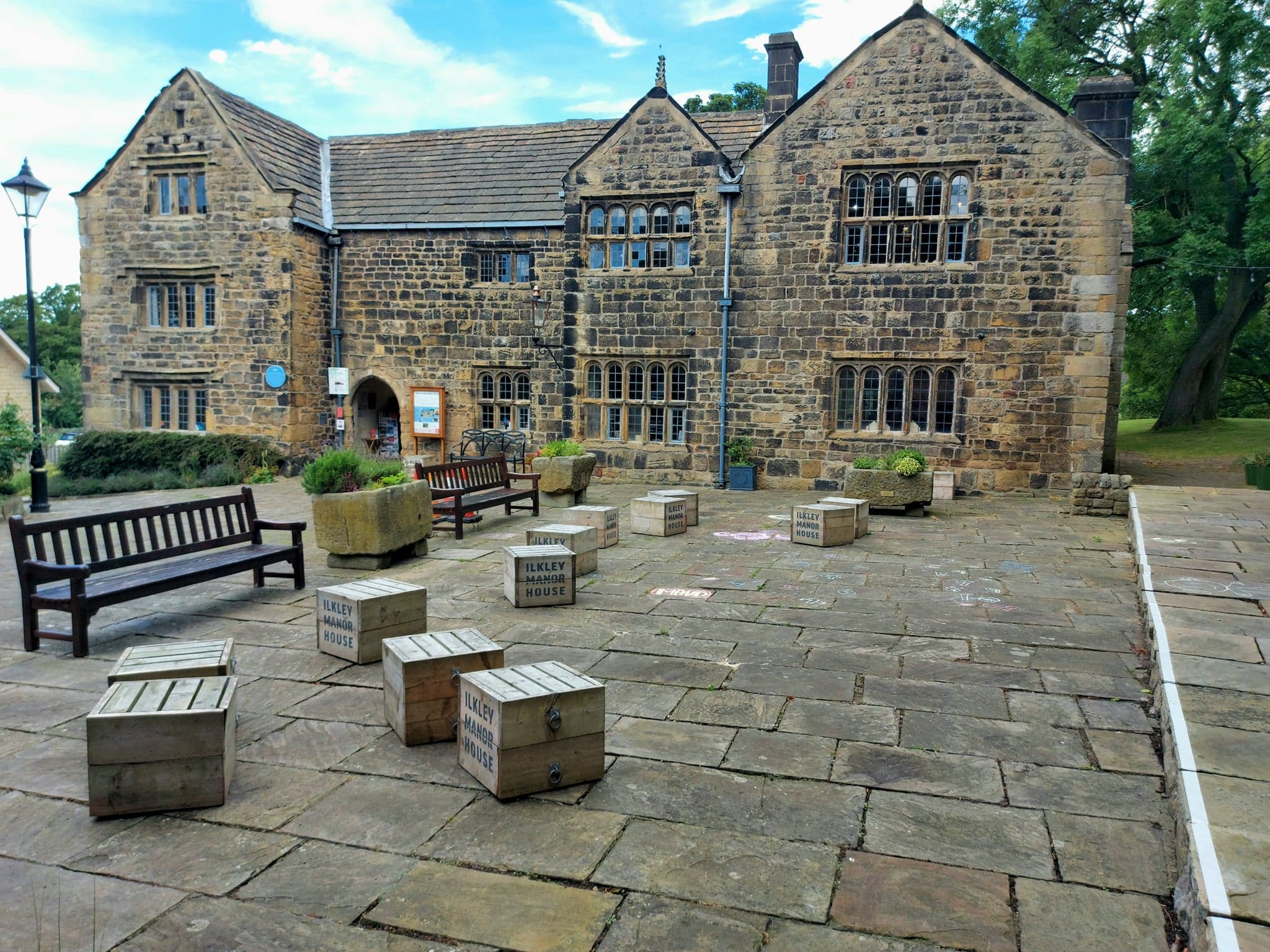
Ilkley Manor House

Ilkley Manor House, Ilkley, West Yorkshire, England, is a local heritage museum, art gallery, and live venue, and was established in the present building...

Nearby Amenities

Located within 500m of 53.953825,-1.8078694
Hollingley
Building: yes
Source: NPE
Lat/Long: 53.9534656/-1.804397
Barrier: cattle_grid
Source: Bing
Lat/Long: 53.9542574/-1.8141973
Material: wood
Power: pole
Source: Bing
Lat/Long: 53.9525916/-1.8133525
Material: wood
Power: pole
Source: Bing
Lat/Long: 53.9527952/-1.8119471
Power: pole
Source: Bing
Lat/Long: 53.9529984/-1.8105126
Power: pole
Source: Bing
Lat/Long: 53.9495289/-1.8092467
Power: pole
Source: Bing
Lat/Long: 53.9506174/-1.8095068
Power: pole
Source: Bing
Lat/Long: 53.9515004/-1.8096973
Power: pole
Source: Bing
Lat/Long: 53.950051/-1.8093624
Power: pole
Source: Bing
Lat/Long: 53.9525106/-1.8098314
Power: pole
Source: Bing
Lat/Long: 53.9531056/-1.8081819
Power: pole
Source: Bing
Lat/Long: 53.9527252/-1.8092709
Power: pole
Source: Bing
Lat/Long: 53.9524758/-1.8099012
Power: pole
Source: Bing
Lat/Long: 53.9519139/-1.8097697
Ford: yes
Source: OS 1853
Lat/Long: 53.954535/-1.8107589
The How Stone Faiy Pans
Fixme: what is this? does it still exost?
Natural: stone
Source: OS 1853
Lat/Long: 53.9544956/-1.8106139
lime kiln
Historic: archaeological_site
Mineral: limestone
Source: OS 1853
Lat/Long: 53.9541206/-1.8069611
Power: pole
Lat/Long: 53.9547299/-1.8125396
Power: pole
Lat/Long: 53.9543334/-1.8120697
Power: pole
Lat/Long: 53.9536581/-1.8112757
The data included in this document is from www.openstreetmap.org. The data is made available under ODbL.

Have you been to Fairy Dell?

Leave your review of Fairy Dell below (or comments, questions and feedback).