Bow Beck Gill
Valley in Yorkshire Harrogate
England
Bow Beck Gill
The requested URL returned error: 429 Too Many Requests
If you have any feedback on the listing, please let us know in the comments section below.
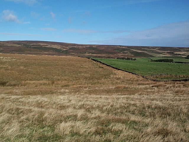
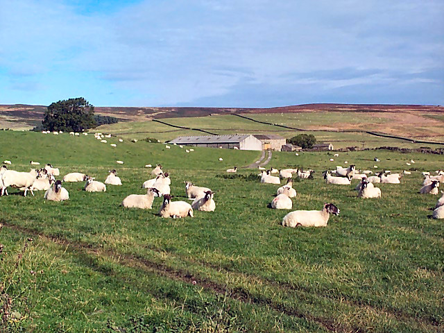
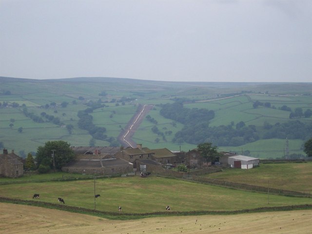
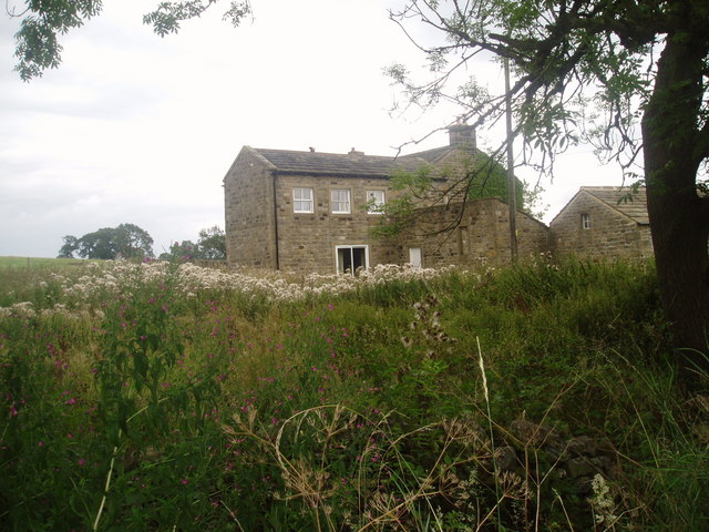
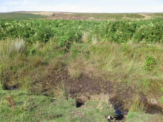
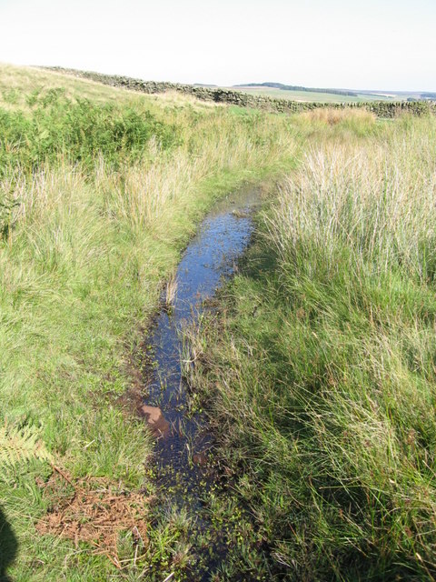
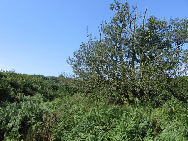
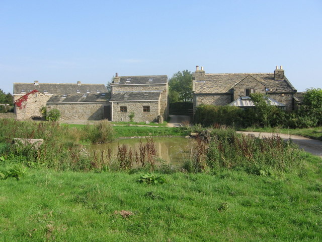
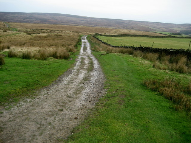
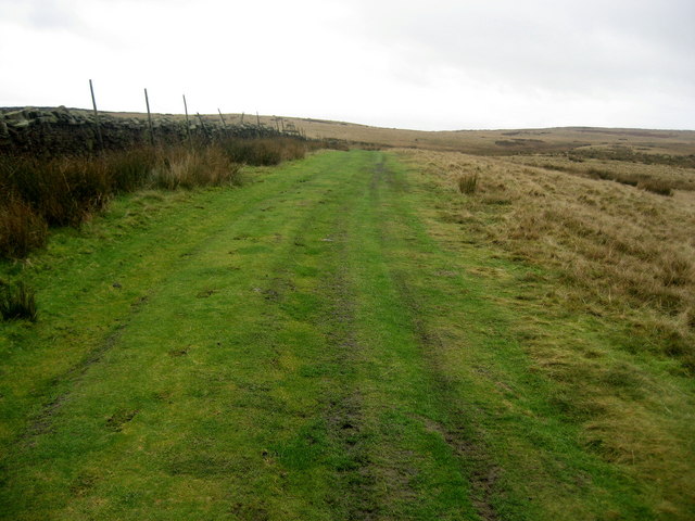
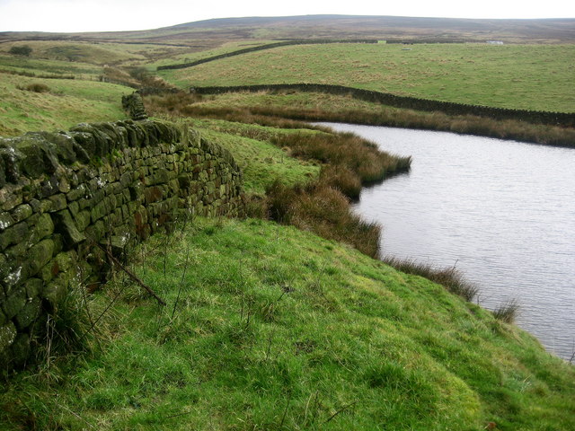
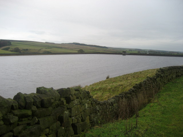
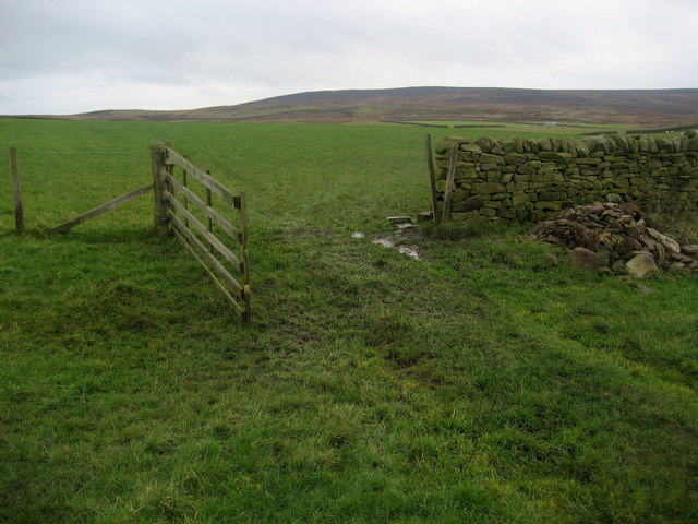
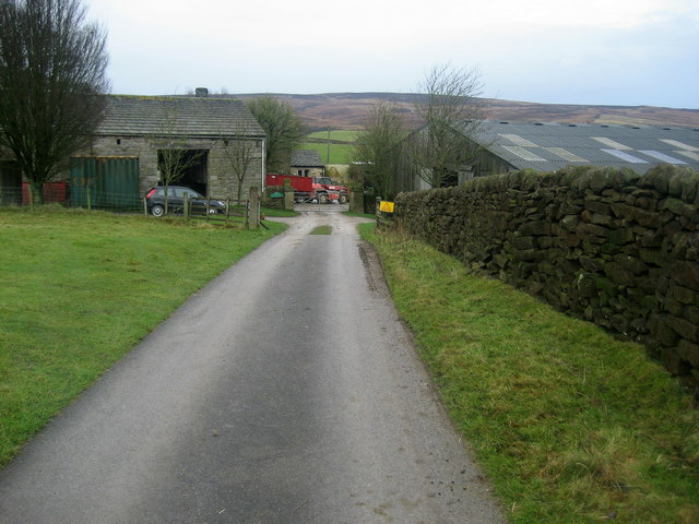
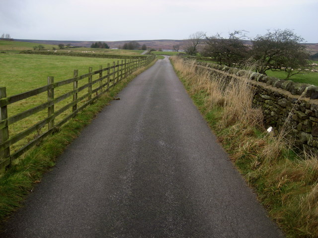
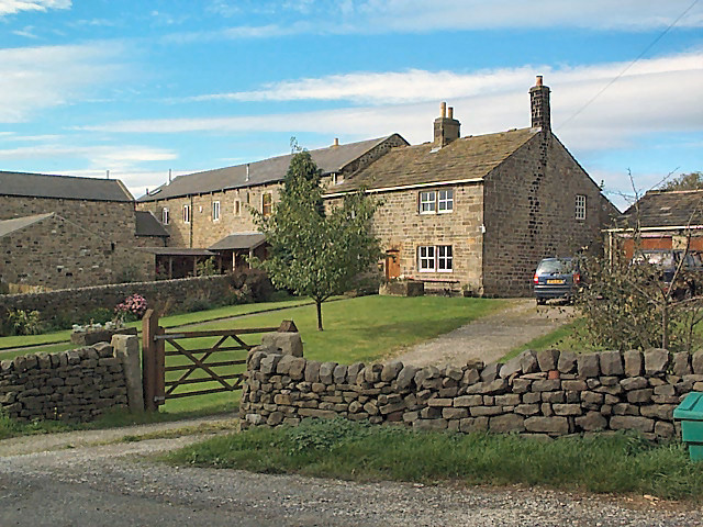
Bow Beck Gill Images
Images are sourced within 2km of 53.95081/-1.8053844 or Grid Reference SE1250. Thanks to Geograph Open Source API. All images are credited.


Bow Beck Gill is located at Grid Ref: SE1250 (Lat: 53.95081, Lng: -1.8053844)
Division: West Riding
Administrative County: North Yorkshire
District: Harrogate
Police Authority: North Yorkshire
What 3 Words
///prettiest.prefer.dips. Near Ilkley, West Yorkshire
Nearby Locations
Related Wikis
Middleton-on-Wharfe
Middleton is a hamlet and civil parish in the Harrogate district of North Yorkshire, England. It is on the border with West Yorkshire and 1 mile north...

Denton, North Yorkshire
Denton is a hamlet and civil parish in the Harrogate district of North Yorkshire, England. At the 2011 Census the population of this civil parish was less...
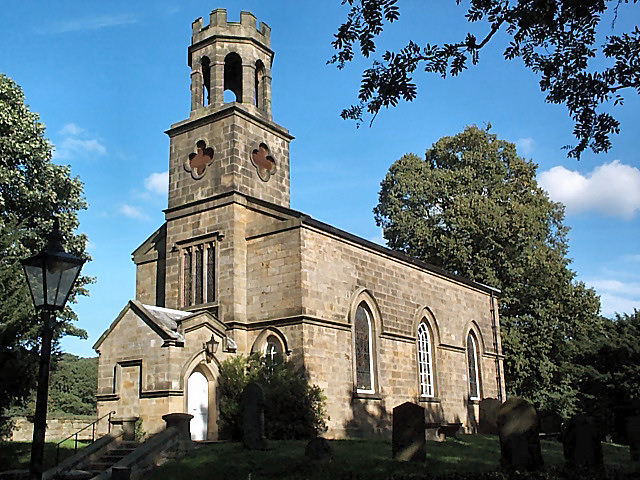
Church of St Helen, Denton
The Church of St Helen, Denton is a parish church in the hamlet of Denton, near Otley, in North Yorkshire, England. The church was built in 1776 by the...

Ilkley Lido
Ilkley Lido is an open-air swimming pool in the West Yorkshire, England, spa town of Ilkley, part of a complex that also includes an indoor heated swimming...
Nearby Amenities
Located within 500m of 53.95081,-1.8053844Have you been to Bow Beck Gill?
Leave your review of Bow Beck Gill below (or comments, questions and feedback).