Clapgate Gill

Valley in Yorkshire Richmondshire

England

Clapgate Gill

Clints Scar View looking across Marske Beck to Clints Scar.
Clints Scar Credit: Peter McDermott

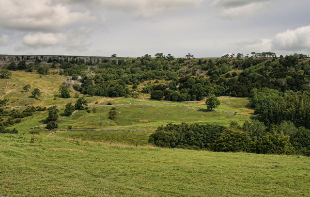
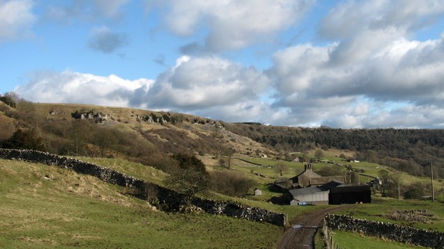
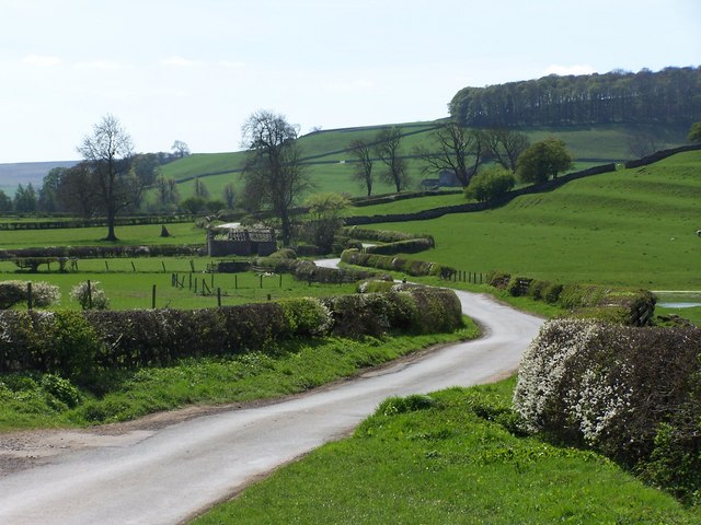
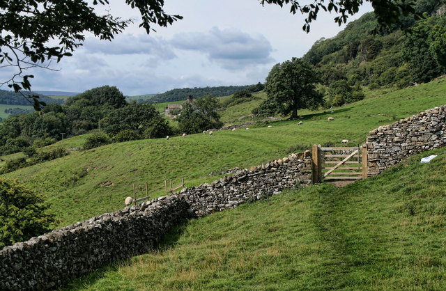
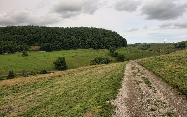
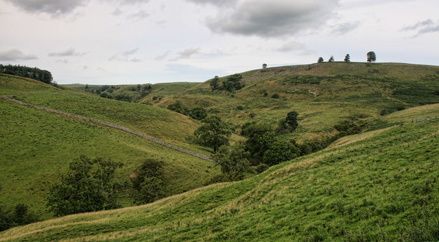
Clapgate Gill is a picturesque valley located in Yorkshire, England. Nestled amidst the stunning Yorkshire Dales National Park, this serene and tranquil spot is a popular destination for nature lovers and outdoor enthusiasts alike.

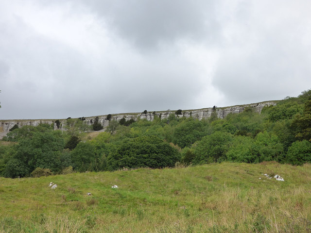
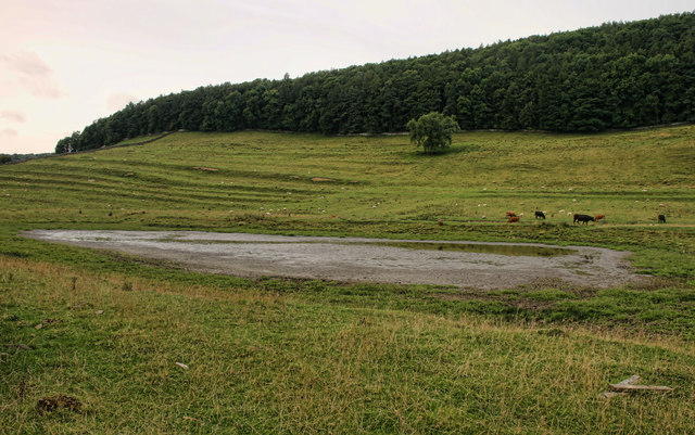
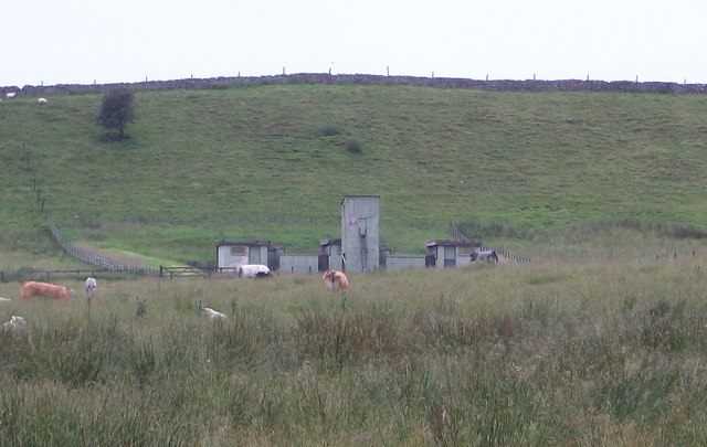
The valley is characterized by its lush greenery, rolling hills, and the gurgling sound of the Clapgate Beck, a small stream that meanders through the area. The beck forms a series of cascades and waterfalls, creating a mesmerizing sight and a soothing ambiance. Visitors can enjoy peaceful walks along the beck, pausing to admire the beauty of the surrounding flora and fauna.

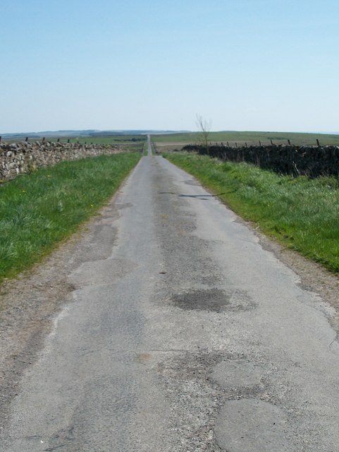
Clapgate Gill offers a plethora of recreational activities for visitors. Hiking enthusiasts can explore the numerous trails that wind through the valley, offering breathtaking views of the countryside. The terrain is varied, with gentle slopes and more challenging inclines, catering to all levels of fitness and experience.

The valley is also a haven for birdwatchers, as it attracts a diverse array of bird species. Keen observers may catch a glimpse of peregrine falcons, buzzards, and even the elusive golden plover.

For those seeking a bit of history and culture, Clapgate Gill is surrounded by charming villages and historic sites. The nearby town of Grassington, known for its stone-built cottages and traditional market square, offers a delightful glimpse into Yorkshire's rich heritage.

Overall, Clapgate Gill is a hidden gem in Yorkshire, offering natural beauty, outdoor activities, and a peaceful escape from the hustle and bustle of everyday life.

If you have any feedback on the listing, please let us know in the comments section below.

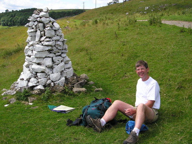
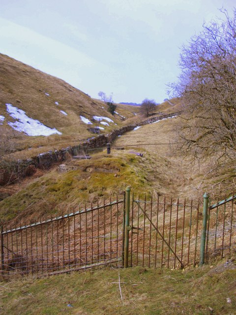
Clapgate Gill Images

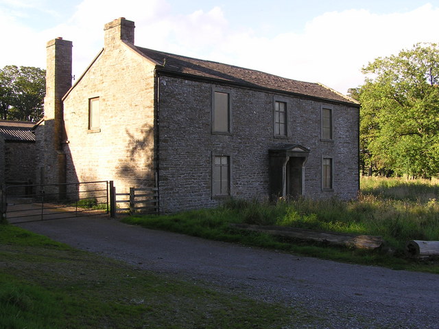
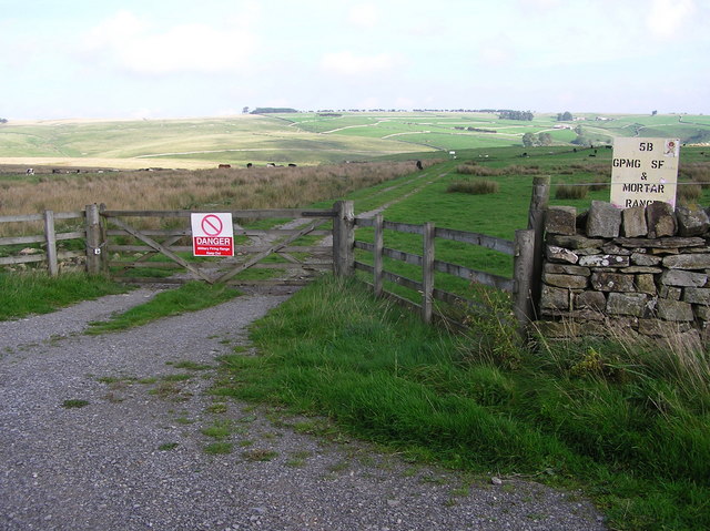
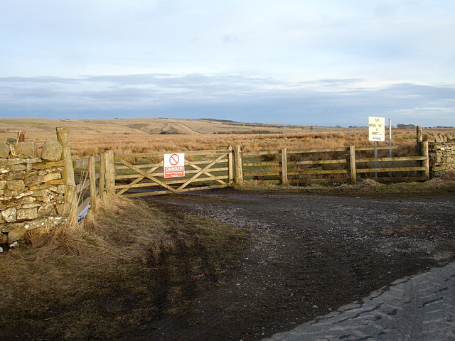
Images are sourced within 2km of 54.421026/-1.8257438 or Grid Reference NZ1102. Thanks to Geograph Open Source API. All images are credited.

Clints Scar View looking across Marske Beck to Clints Scar.
Clints Scar
View looking across Marske Beck to Clints Scar.
Cordilleras Lane Running from Cordilleras Farm over Marske Moor.
Cordilleras Lane
Running from Cordilleras Farm over Marske Moor.
Nissen hut on Cordilleras Lane Part of the Feldom army ranges.
Nissen hut on Cordilleras Lane
Part of the Feldom army ranges.
Clints Scar A prominent limestone scar above the valley of the Marske Beck.
Clints Scar
A prominent limestone scar above the valley of the Marske Beck.
Cordilleras Farm, Marske A model farm laid out on newly enclosed land by John Hutton in 1809. The farm, and most of the fields, were named after South American mountains.
Cordilleras Farm, Marske
A model farm laid out on newly enclosed land by John Hutton in 1809. The farm, and most of the fields, were named after South American mountains.
Feldom Ranges Track to Range 5B, MOD Feldom Ranges, looking east from Cordilleras Lane
Feldom Ranges
Track to Range 5B, MOD Feldom Ranges, looking east from Cordilleras Lane
Entrance to Feldom 5B GPMG SF & Mortar range One of numerous gates and tracks leading into the Feldom ranges off Cordilleras Lane on Markse Moor. In the middle distance is the valley of Feldom Beck (which becomes Clapgate Beck downstream of the woodland).
Entrance to Feldom 5B GPMG SF & Mortar range
One of numerous gates and tracks leading into the Feldom ranges off Cordilleras Lane on Markse Moor. In the middle distance is the valley of Feldom Beck (which becomes Clapgate Beck downstream of the woodland).
West Applegarth Farm, Swaledale The crags at left guard the entrance to Deep Dale and Whitcliffe Scar lies half-hidden above the trees further to the right.
West Applegarth Farm, Swaledale
The crags at left guard the entrance to Deep Dale and Whitcliffe Scar lies half-hidden above the trees further to the right.
Winding road towards Marske
Low Applegarth Looking along the bridleway towards West Applegarth.
Low Applegarth
Looking along the bridleway towards West Applegarth.
Clapgate Gill View looking across Clapgate Gill.
Clapgate Gill
View looking across Clapgate Gill.
Clapgate Gill View looking up Clapgate Gill.
Clapgate Gill
View looking up Clapgate Gill.
Nanny Miller Spring Pond near Nanny Miller Spring.
Nanny Miller Spring
Pond near Nanny Miller Spring.
Trainee soldiers The rather startling sight of armed soldiers on Feldom Ranges.
Trainee soldiers
The rather startling sight of armed soldiers on Feldom Ranges.
Military Exercises By the road, Feldom Ranges.
Military Exercises
By the road, Feldom Ranges.
MOD Buildings on High Hag Moor Eastern edge of the Feldom Ranges, an area of Ministry of Defence land with live firing on days when the red flags are flying.
MOD Buildings on High Hag Moor
Eastern edge of the Feldom Ranges, an area of Ministry of Defence land with live firing on days when the red flags are flying.
White Cairn on Applegarth Scar This cairn is on the route of the Dales Walk not far from Richmond.
White Cairn on Applegarth Scar
This cairn is on the route of the Dales Walk not far from Richmond.
Reservoir in Feldom Gill Covered reservoir and capped spring heads in Feldom Gill.
Reservoir in Feldom Gill
Covered reservoir and capped spring heads in Feldom Gill.
Show me another place!

Clapgate Gill is located at Grid Ref: NZ1102 (Lat: 54.421026, Lng: -1.8257438)

Division: North Riding

Administrative County: North Yorkshire

District: Richmondshire

Police Authority: North Yorkshire

What 3 Words

///elephant.helped.recorder. Near Richmond, North Yorkshire

Related Wikis

Scott Trial

The Scott Trial is a British motorcycle trials competition dating from 1914 run over an off-road course of approximately 70 miles (110 km). One of the...

Applegarth, North Yorkshire

Applegarth is a historic settlement located north of the River Swale in Yorkshire, England. It lies about three-quarters of a mile north-east of the village...

Marske, west North Yorkshire

Marske is a village and civil parish in the Richmondshire district of North Yorkshire, England, situated in lower Swaledale on the boundary of the Yorkshire...

Skelton, west North Yorkshire

Skelton is a small hamlet in the Richmondshire district of North Yorkshire, England. It is within the Yorkshire Dales National Park near the larger village...

Nearby Amenities

Located within 500m of 54.421026,-1.8257438
The data included in this document is from www.openstreetmap.org. The data is made available under ODbL.

Have you been to Clapgate Gill?

Leave your review of Clapgate Gill below (or comments, questions and feedback).