Middle Seal Clough
Valley in Derbyshire High Peak
England
Middle Seal Clough
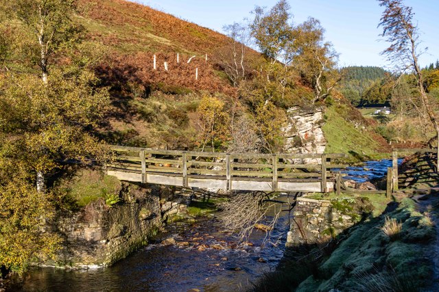
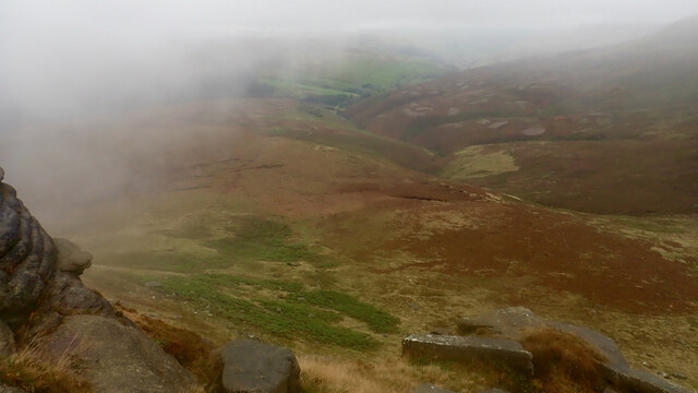
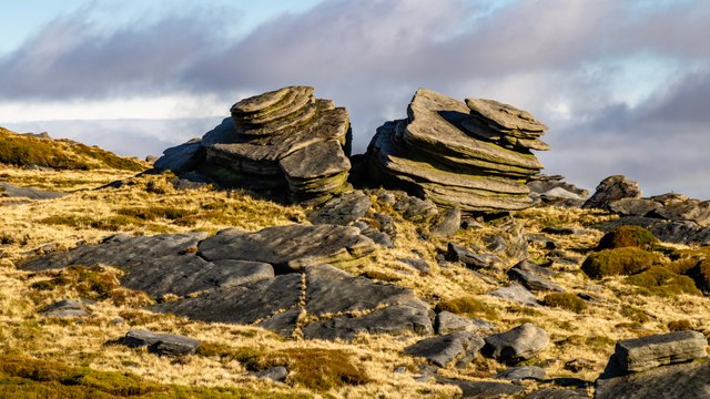
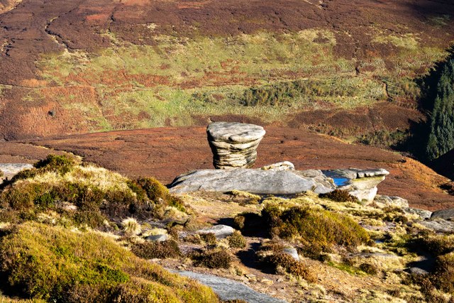
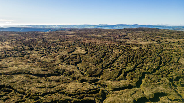
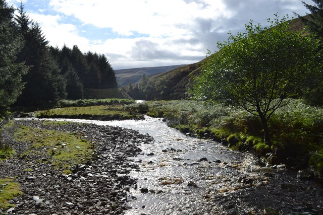
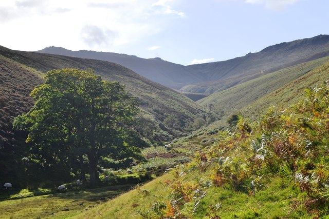
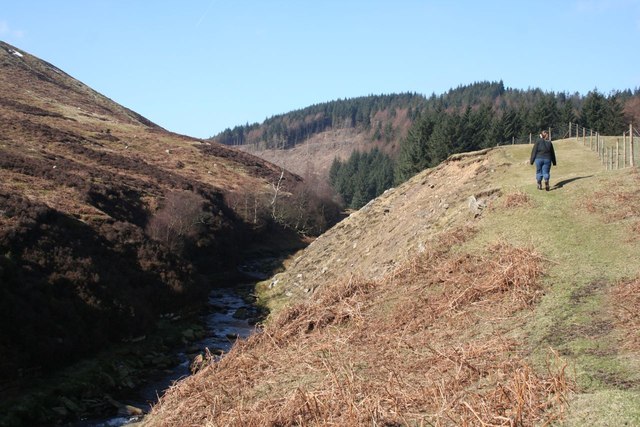
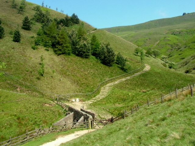
Middle Seal Clough is a picturesque valley located in the county of Derbyshire, England. Situated in the heart of the Peak District National Park, this valley is renowned for its stunning natural beauty and rich biodiversity. The valley is named after the Clough River that flows through it, creating a serene and peaceful ambiance.
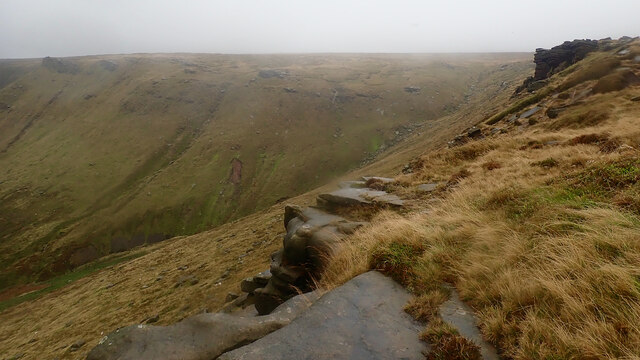
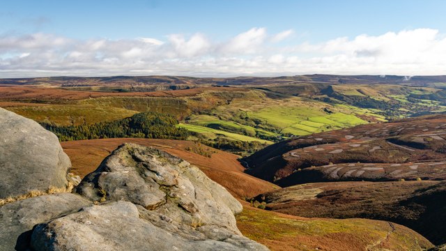
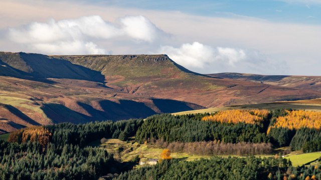
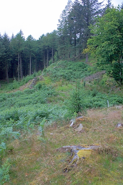
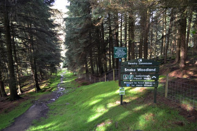
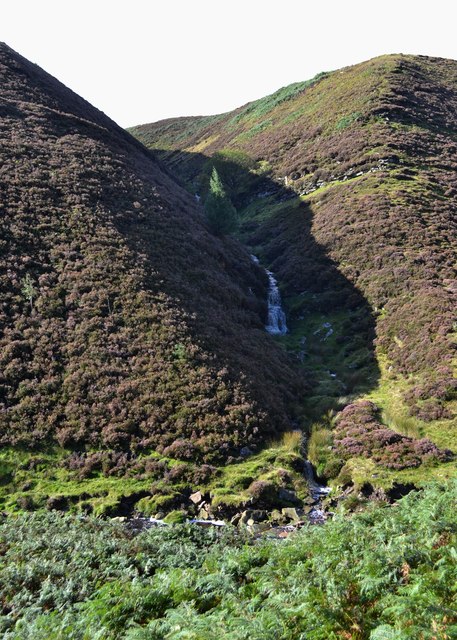
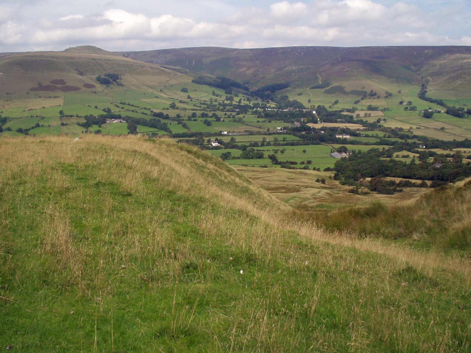
Surrounded by rolling hills and dense woodlands, Middle Seal Clough offers a myriad of outdoor activities and opportunities for nature enthusiasts. The valley is a haven for hikers and walkers, with numerous well-marked trails that provide breathtaking views of the surrounding landscape. One popular trail leads visitors through the valley, crossing over charming stone bridges and passing by cascading waterfalls.
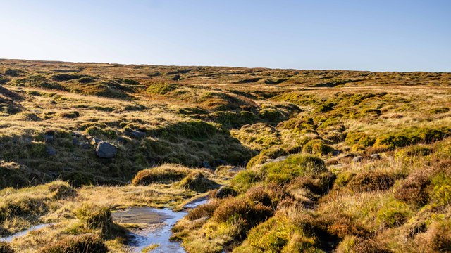
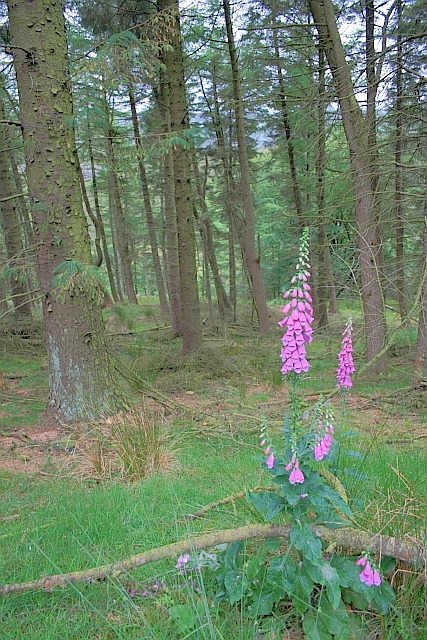
The flora and fauna in Middle Seal Clough are abundant, with a diverse range of plant species and wildlife. Wildflowers, including bluebells and primroses, carpet the valley during the springtime, creating a vibrant and colorful display. Birdwatchers can spot various species, such as buzzards, kestrels, and peregrine falcons, soaring above the valley.
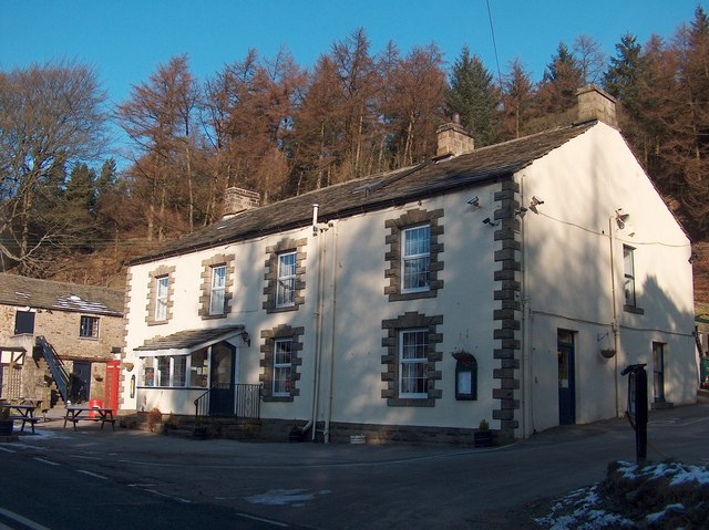
In addition to its natural splendor, Middle Seal Clough also holds historical significance. The remnants of old mill buildings and stone walls can be found throughout the valley, serving as a reminder of its industrial past. Exploring these historical features adds an extra layer of intrigue to the valley's allure.
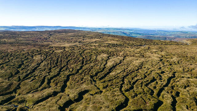
Overall, Middle Seal Clough is a truly enchanting destination for those seeking tranquility and a close connection with nature. Whether you are an avid hiker, a wildlife enthusiast, or simply someone looking to escape the hustle and bustle of everyday life, this valley offers an idyllic retreat in the heart of Derbyshire.
If you have any feedback on the listing, please let us know in the comments section below.
Middle Seal Clough Images
Images are sourced within 2km of 53.399673/-1.8404655 or Grid Reference SK1089. Thanks to Geograph Open Source API. All images are credited.
Middle Seal Clough is located at Grid Ref: SK1089 (Lat: 53.399673, Lng: -1.8404655)
Administrative County: Derbyshire
District: High Peak
Police Authority: Derbyshire
What 3 Words
///sizing.headrest.skins. Near High Peak, Derbyshire
Nearby Locations
Related Wikis
Grindslow Knoll
Grindslow Knoll is a hill in the Dark Peak area of the Peak District National Park in Derbyshire, England. It is joined to Kinder Scout by a high col though...
Kinder Scout
Kinder Scout is a moorland plateau and national nature reserve in the Dark Peak of the Derbyshire Peak District in England. Part of the moor, at 636 metres...

Dark Peak
The Dark Peak is the higher and wilder part of the Peak District in England, mostly forming the northern section but also extending south into its eastern...

Featherbed Top
Featherbed Top is an open, flat-topped hill, 544 metres (1,785 ft) high, in the Peak District in the county of Derbyshire in England. == Description... ==

Mermaid's Pool (Peak District)
Mermaid's Pool is a small pool on Kinder Scout in Derbyshire, England, which, according to legend, is inhabited by a beautiful mermaid who can be seen...

Hope Woodlands
Hope Woodlands is an extensive civil parish in the High Peak district of Derbyshire in England. The parish covers the Woodlands Valley, the western Upper...

River Alport
The River Alport flows for 5.6 miles (9 km) in the Dark Peak of the Peak District in Derbyshire, England. Its source is on Bleaklow, 3 miles (4.8 km)...
Jacob's Ladder, Derbyshire
Jacob's Ladder is a bridleway between Kinder Scout plateau and the hamlet of Upper Booth in the Vale of Edale, in the Derbyshire Peak District of England...
Nearby Amenities
Located within 500m of 53.399673,-1.8404655Have you been to Middle Seal Clough?
Leave your review of Middle Seal Clough below (or comments, questions and feedback).