Great Rocks Dale
Valley in Derbyshire High Peak
England
Great Rocks Dale
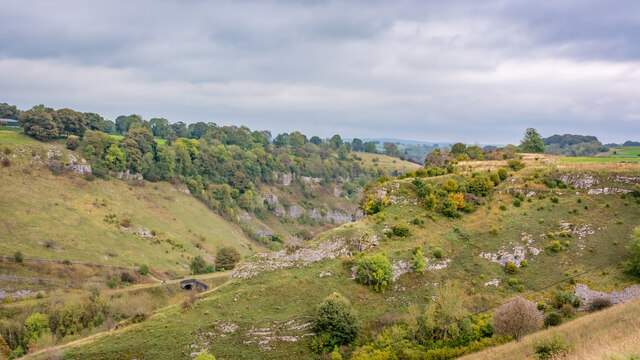
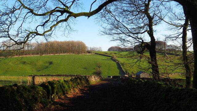
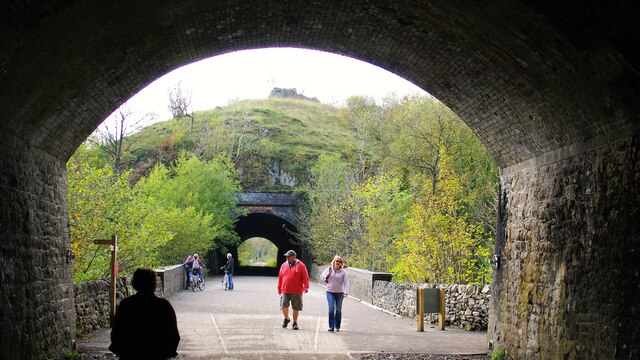
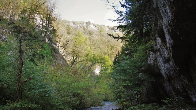
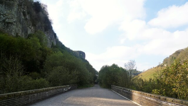
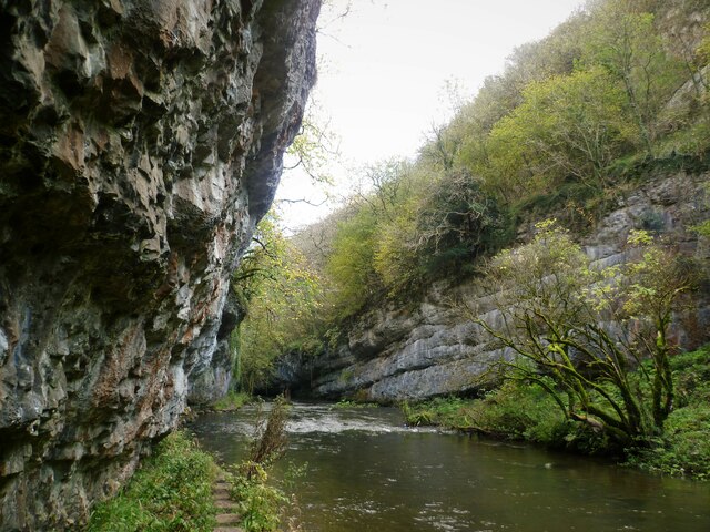
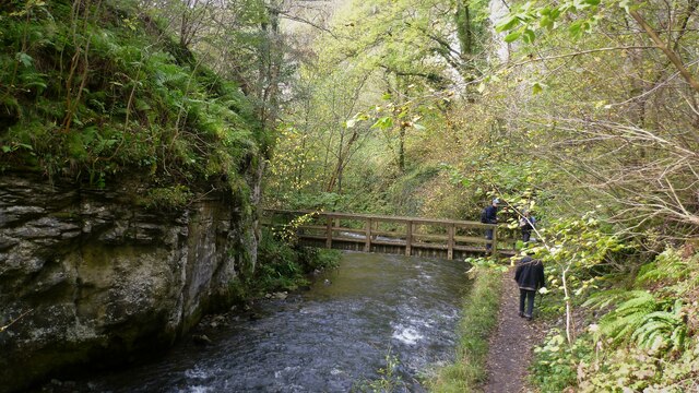
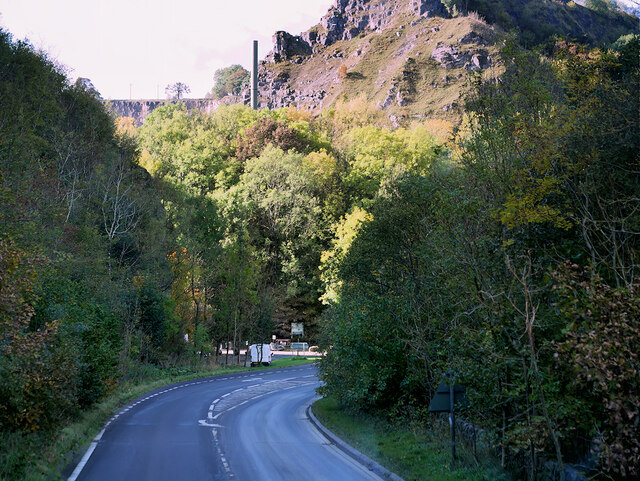
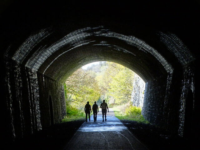
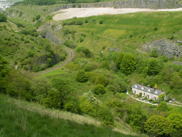
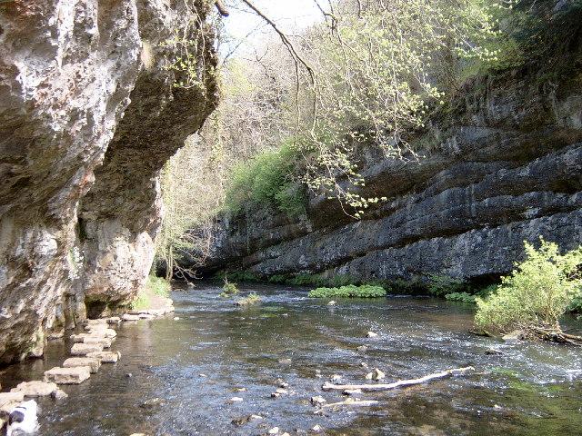
Great Rocks Dale is a picturesque valley located in Derbyshire, England. Situated near the town of Chapel-en-le-Frith, it is renowned for its stunning natural beauty and rich geological significance. The dale is carved out by the River Goyt, which meanders through the valley, creating a diverse landscape of rugged cliffs, lush green meadows, and dense woodland.
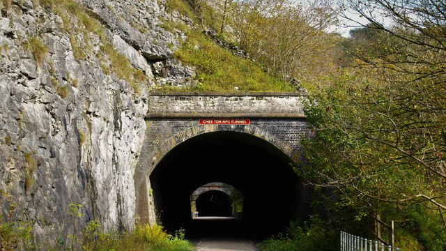
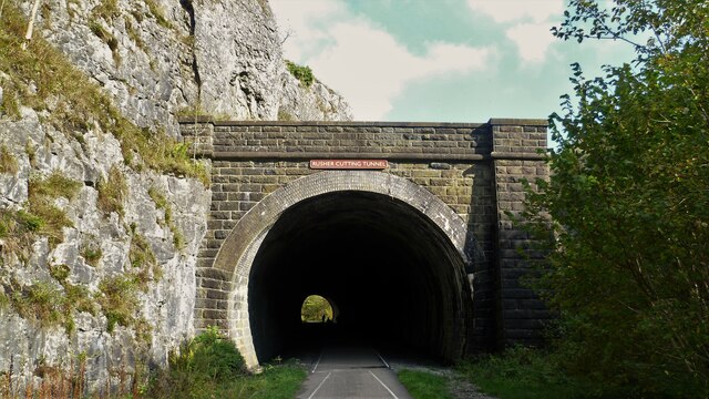
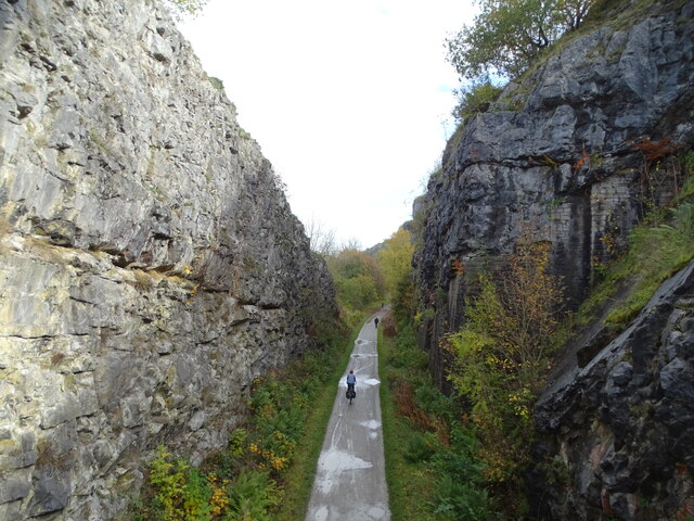
One of the main attractions of Great Rocks Dale is the impressive rock formations that give the valley its name. Towering limestone cliffs, some reaching up to 100 feet in height, dominate the landscape and provide a haven for rock climbers and hikers alike. The rocks are a result of millions of years of erosion and geological activity, creating a unique and dramatic setting.
The valley is also home to an abundance of wildlife, making it a popular spot for nature enthusiasts. Visitors can spot a variety of bird species, such as peregrine falcons and buzzards, soaring above the cliffs, while the river is home to otters and trout. The woodlands surrounding the dale are filled with wildflowers, adding bursts of color to the landscape throughout the year.
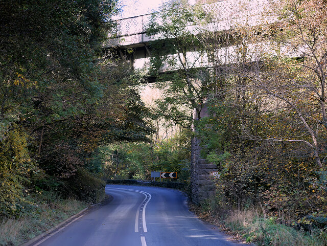
Great Rocks Dale offers a range of activities for outdoor enthusiasts. The valley is crisscrossed by numerous walking trails, providing ample opportunities for hiking and exploring the surrounding countryside. The cliffs are a popular destination for rock climbing, with routes suitable for both beginners and experienced climbers. Additionally, the river is a popular spot for fishing and kayaking.
In summary, Great Rocks Dale is a stunning valley in Derbyshire, offering breathtaking natural beauty, impressive rock formations, and a diverse range of outdoor activities. It is a must-visit destination for nature lovers and adventure seekers in the region.
If you have any feedback on the listing, please let us know in the comments section below.
Great Rocks Dale Images
Images are sourced within 2km of 53.256322/-1.8409685 or Grid Reference SK1073. Thanks to Geograph Open Source API. All images are credited.
Great Rocks Dale is located at Grid Ref: SK1073 (Lat: 53.256322, Lng: -1.8409685)
Administrative County: Derbyshire
District: High Peak
Police Authority: Derbyshire
What 3 Words
///claw.decimal.teaching. Near Buxton, Derbyshire
Nearby Locations
Related Wikis

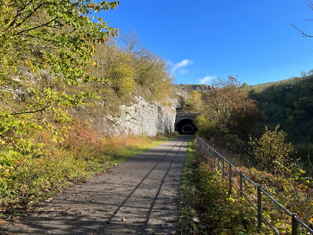
Chee Dale Halt railway station
Chee Dale Halt railway station was a timber-built railway halt located on the Peak Forest Junction to Buxton Junction spur of a triangle of the former...
Blackwell Mill
Blackwell Mill is a location in Derbyshire, near to the village of Blackwell near Buxton, but not part of it. There was once a corn mill on the River Wye...

Great Rocks Dale
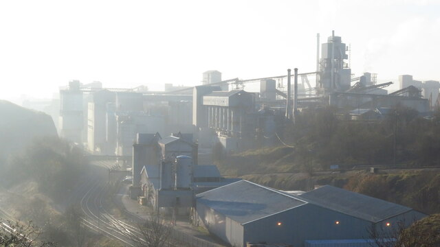
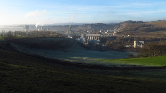
Great Rocks Dale is a dry valley in the Derbyshire Peak District, known for its extensive quarrying. == Geography and geology == The valley runs from Peak...

Green Fairfield
Green Fairfield (Old English Green, beautiful open-land). is a civil parish in Derbyshire, England. The population of the civil parish (including Tunstead...
Chee Dale
Chee Dale is a steep-sided gorge on the River Wye near Buxton, Derbyshire, in the Peak District of England. The Wye valley continues upstream towards Buxton...

Wye Valley, Derbyshire
The Wye Valley is the limestone valley of the River Wye in the White Peak of Derbyshire, England. The source of the River Wye is west of Buxton on Axe...

King Sterndale
King Sterndale is a village and civil parish in Derbyshire, England. It is located in the Peak District, 4 miles east of Buxton. It has a population of...

Tunstead, Derbyshire
Tunstead is a village in Derbyshire, England, situated above Great Rocks Dale north of Buxton. It should not be confused with Tunstead Milton, which is...
Nearby Amenities
Located within 500m of 53.256322,-1.8409685Have you been to Great Rocks Dale?
Leave your review of Great Rocks Dale below (or comments, questions and feedback).