Great Agill Bottom

Valley in Yorkshire Craven

England

Great Agill Bottom

Gateway on Brown Bank One of several gateways leading to grouse butts on the east side of Barden Fell.
Gateway on Brown Bank Credit: Ray Woodcraft

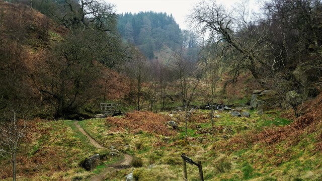
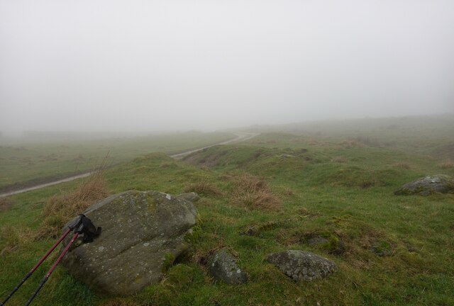
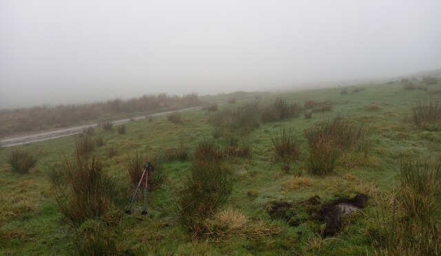
Great Agill Bottom is a stunning valley located in the picturesque region of Yorkshire, England. Nestled amidst rolling hills and surrounded by lush greenery, this valley is a hidden gem for nature enthusiasts and hikers alike. It is situated in the eastern part of the Yorkshire Dales National Park, offering breathtaking views and a tranquil atmosphere.

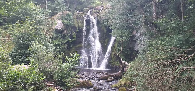
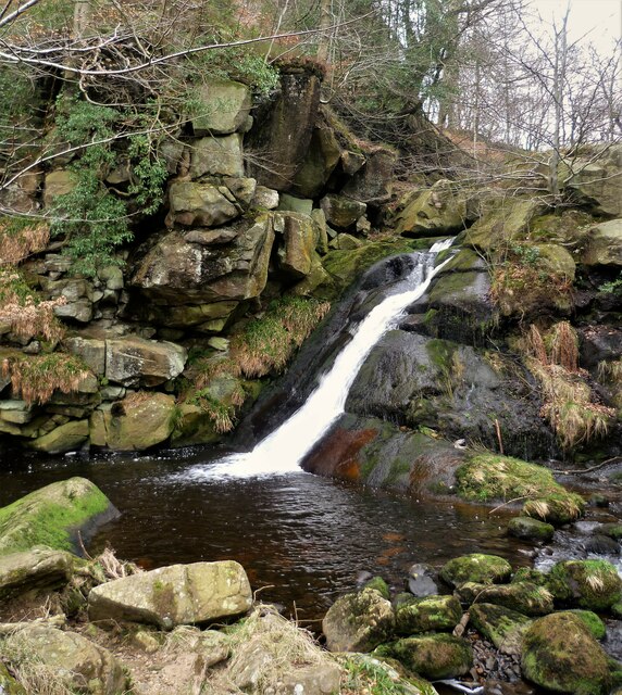
The valley is named after the Agill River, which flows through it, adding to the charm of the landscape with its clear, babbling waters. The river has carved its way through the valley over centuries, creating a deep, narrow gorge that adds a dramatic touch to the scenery.

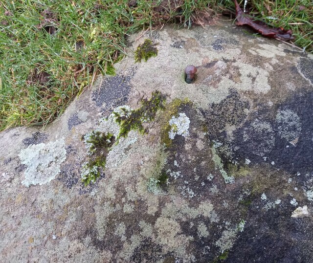
Great Agill Bottom boasts diverse flora and fauna, with its meadows adorned by colorful wildflowers in the spring and summer months. The valley is also home to a variety of bird species, making it a haven for birdwatchers.

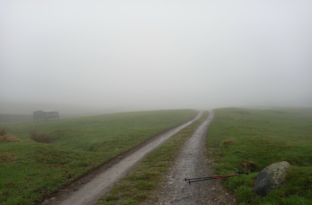
For outdoor enthusiasts, the valley offers a plethora of walking and hiking trails, catering to all levels of fitness and experience. The routes wind through the valley, offering breathtaking vistas of the surrounding countryside and opportunities to spot wildlife along the way.

Great Agill Bottom is a place where visitors can immerse themselves in the wonders of nature, breathe in the fresh mountain air, and experience the serenity of the Yorkshire countryside. With its natural beauty and peaceful ambiance, this valley is a must-visit destination for those seeking a tranquil escape from the hustle and bustle of everyday life.

If you have any feedback on the listing, please let us know in the comments section below.

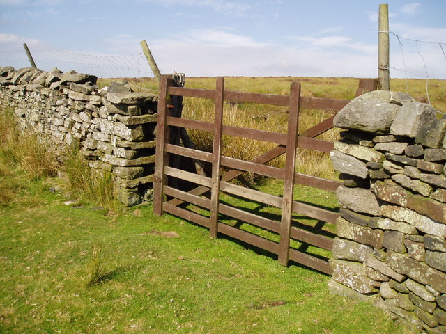
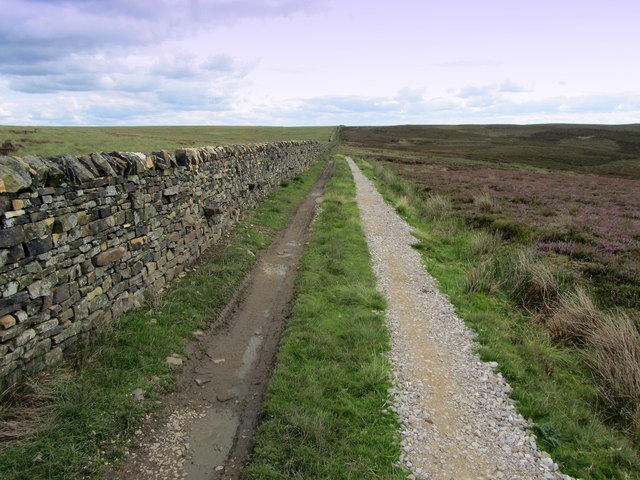
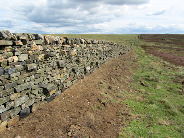
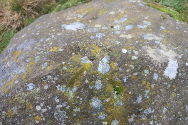
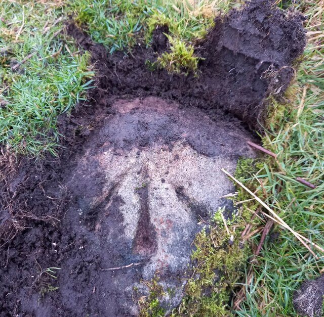
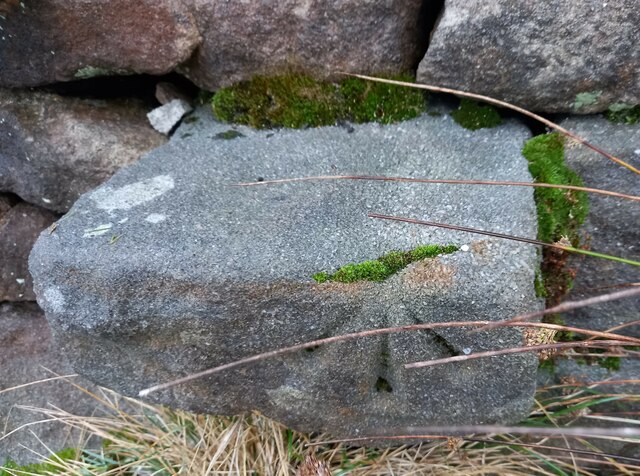
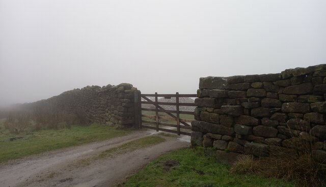
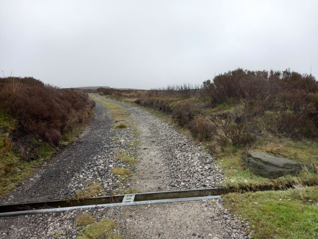
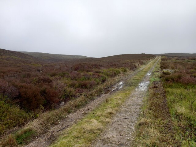
Great Agill Bottom Images

Images are sourced within 2km of 54.016093/-1.8771126 or Grid Reference SE0857. Thanks to Geograph Open Source API. All images are credited.

Gateway on Brown Bank One of several gateways leading to grouse butts on the east side of Barden Fell.
Gateway on Brown Bank
One of several gateways leading to grouse butts on the east side of Barden Fell.
Shooting Track near Rom Shaw Head Track and Dry Stone Wall side by side on lonely moorland
Shooting Track near Rom Shaw Head
Track and Dry Stone Wall side by side on lonely moorland
Boundary Wall near Rom Shaw Head Following this boundary wall that runs south east/north west in a straight line over Barden Fell
Boundary Wall near Rom Shaw Head
Following this boundary wall that runs south east/north west in a straight line over Barden Fell
Posforth Gill waterfall Posforth Gill waterfall.
Posforth Gill waterfall
Posforth Gill waterfall.
Footbridge to Valley of Desolation Path across Posforth Gill Beck
Footbridge to Valley of Desolation
Path across Posforth Gill Beck
Waterfall on Sheepshaw Beck This is just after the Valley of Desolation where the stream is Posforth Gill Beck
Waterfall on Sheepshaw Beck
This is just after the Valley of Desolation where the stream is Posforth Gill Beck
Bolton Abbey, Bolton Park The rivet benchmark is cut into a boulder directly to the east of the path. It would be difficult to miss!
Bolton Abbey, Bolton Park
The rivet benchmark is cut into a boulder directly to the east of the path. It would be difficult to miss!
Bolton Abbey, Bolton Park There is a rivet benchmark cut into the boulder directly to the east of the path. It would be difficult to miss!
Bolton Abbey, Bolton Park
There is a rivet benchmark cut into the boulder directly to the east of the path. It would be difficult to miss!
Bolton Abbey, Bolton Park The rivet benchmark is cut into the top of a large boulder at this location and is about 5m east of the path.
Bolton Abbey, Bolton Park
The rivet benchmark is cut into the top of a large boulder at this location and is about 5m east of the path.
Bolton Abbey, Bolton Park There is a rivet benchmark cut into the top of a large boulder at this location and is about 5m east of the path.
Bolton Abbey, Bolton Park
There is a rivet benchmark cut into the top of a large boulder at this location and is about 5m east of the path.
Bolton Abbey, Bolton Park The pivot benchmark is cut into a low lying boulder, at this location, about 6 metres east of the path.
Bolton Abbey, Bolton Park
The pivot benchmark is cut into a low lying boulder, at this location, about 6 metres east of the path.
Bolton Abbey, Bolton Park There is a pivot benchmark cut into a low lying boulder, at this location, about 6 metres east of the path.
Bolton Abbey, Bolton Park
There is a pivot benchmark cut into a low lying boulder, at this location, about 6 metres east of the path.
Bolton Abbey, Hammerthorn Gate The benchmark is cut into the bottom stone of a stile at this footpath junction.
Bolton Abbey, Hammerthorn Gate
The benchmark is cut into the bottom stone of a stile at this footpath junction.
Bolton Abbey, Hammerthorn Gate There is a benchmark cut into the bottom stone of the stile at this footpath junction.
Bolton Abbey, Hammerthorn Gate
There is a benchmark cut into the bottom stone of the stile at this footpath junction.
Hazlewood, moorland track According to the 1909 OS map, at this location there was a benchmark to the south of the track. Nothing was found.
Hazlewood, moorland track
According to the 1909 OS map, at this location there was a benchmark to the south of the track. Nothing was found.
Hazlewood, moorland track According to the 1909 OS map there is a benchmark at this location, south of the track. Nothing was found.
Hazlewood, moorland track
According to the 1909 OS map there is a benchmark at this location, south of the track. Nothing was found.
Roadworks in Strid Wood Following a landslip, the road had been recently repaired.
Roadworks in Strid Wood
Following a landslip, the road had been recently repaired.
New retaining wall in Strid Wood Following a landslip, the road had been recently repaired with a small retaining wall.
New retaining wall in Strid Wood
Following a landslip, the road had been recently repaired with a small retaining wall.
Show me another place!

Great Agill Bottom is located at Grid Ref: SE0857 (Lat: 54.016093, Lng: -1.8771126)

Division: West Riding

Administrative County: North Yorkshire

District: Craven

Police Authority: North Yorkshire

What 3 Words

///saves.started.alike. Near Addingham, West Yorkshire

Related Wikis

Simon's Seat

Simon's Seat is a peak in the Yorkshire Dales in northern England. It is a prominent outcrop of millstone grit on the eastern side of Wharfedale. Although...

Barden Tower

Barden Tower is a ruined building in the Parish of Barden, in Wharfedale, North Yorkshire, England. The tower was used as a hunting lodge in the 15th and...

Barden, Craven

Barden is a civil parish in the Craven district of North Yorkshire, England. It consists of the hamlet of Drebley and a few scattered houses in Wharfedale...

Skyreholme

Skyreholme is a hamlet in Wharfedale in the Yorkshire Dales, North Yorkshire, England. It lies 1-mile (1.6 km) east of Appletreewick, in the small side...

Cavendish memorial fountain

The Cavendish memorial fountain is a drinking fountain erected in 1886 at Bolton Abbey, North Yorkshire, England as a memorial to Lord Frederick Cavendish...

Hazlewood with Storiths

Hazlewood with Storiths is a civil parish in the Craven district of North Yorkshire, England. The population of the civil parish as of the 2011 census...

Parcevall Hall

Parcevall Hall -- also known as Parceval Hall -- and its gardens are located at Skyreholme near Appletreewick village, Wharfedale, North Yorkshire, England...

Bolton Abbey

Bolton Abbey in Wharfedale, North Yorkshire, England, takes its name from the ruins of the 12th-century Augustinian monastery now known as Bolton Priory...

Nearby Amenities

Located within 500m of 54.016093,-1.8771126
Natural: spring
Source: NLS-OS-1st_Series
Lat/Long: 54.0169225/-1.8729097
Agill Well
Natural: spring
Source: NLS-OS-1st_Series
Lat/Long: 54.0173392/-1.8745834
The data included in this document is from www.openstreetmap.org. The data is made available under ODbL.

Have you been to Great Agill Bottom?

Leave your review of Great Agill Bottom below (or comments, questions and feedback).