Ashton Clough

Valley in Derbyshire High Peak

England

Ashton Clough

Wreckage of B-29 Superfortress Wreckage of the B-29 Superfortress Overexposed which crashed on 3rd Nov 1948
Wreckage of B-29 Superfortress Credit: Shaun Ferguson

Ashton Clough is a small village located in Derbyshire, England. Situated in the picturesque Peak District, it is known for its stunning natural beauty and tranquil atmosphere. The village is nestled in a valley, surrounded by rolling hills and lush greenery, making it a popular destination for nature lovers and hikers.

The history of Ashton Clough dates back to the medieval period, and remnants of its past can still be seen in the form of old stone cottages and buildings. The village has a close-knit community, with a population of around 500 residents. Local amenities include a village hall, a primary school, and a quaint local pub.

One of the main attractions in Ashton Clough is the nearby Ashton Clough Nature Reserve. Spanning over 50 hectares, the reserve is home to a diverse range of flora and fauna, including rare species of birds, butterflies, and wildflowers. It offers several walking trails, allowing visitors to explore the stunning landscape and appreciate the peaceful surroundings.

The village also benefits from its proximity to the market town of Glossop, just a short drive away. Glossop offers a wider range of amenities, including supermarkets, shops, and restaurants. Additionally, the city of Manchester is within commuting distance, providing residents with access to further employment and entertainment opportunities.

Overall, Ashton Clough offers a tranquil and idyllic setting, perfect for those seeking a peaceful countryside lifestyle. Its natural beauty, friendly community, and convenient location make it a desirable place to live or visit.

If you have any feedback on the listing, please let us know in the comments section below.

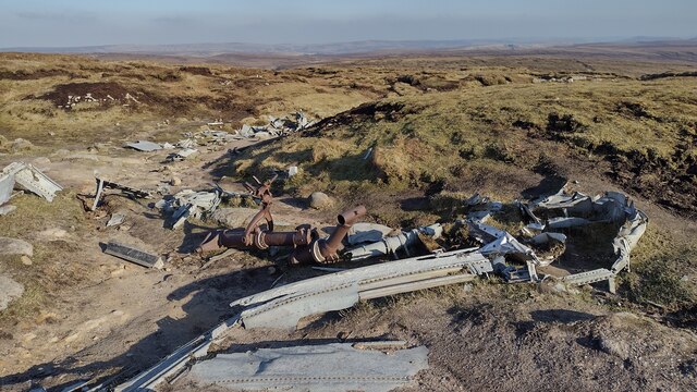
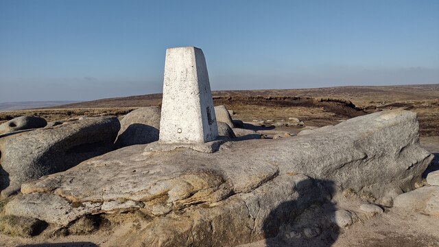
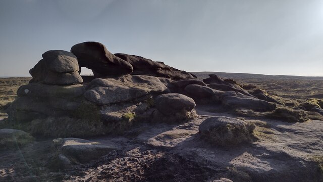
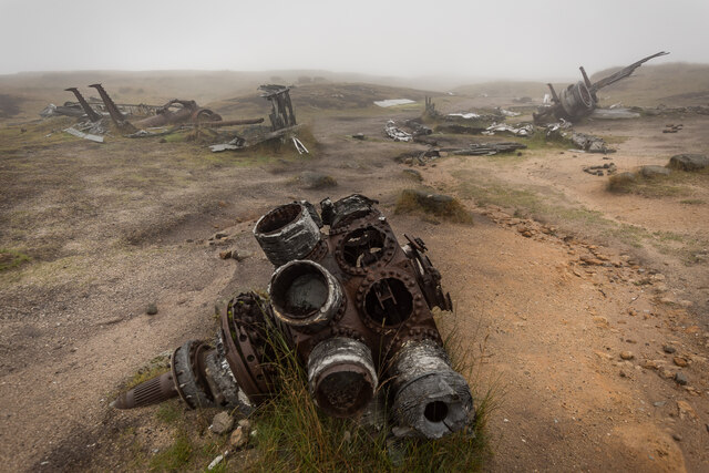
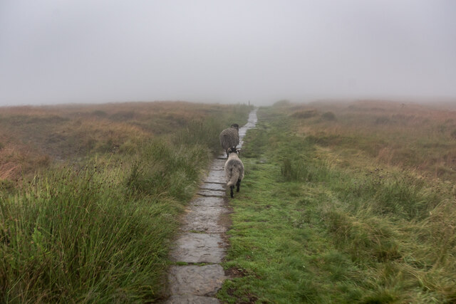
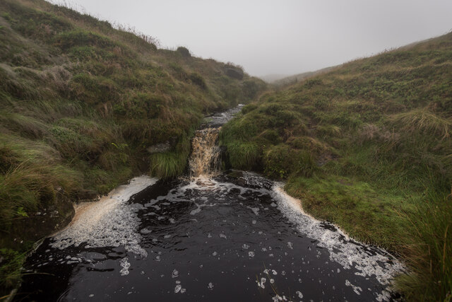
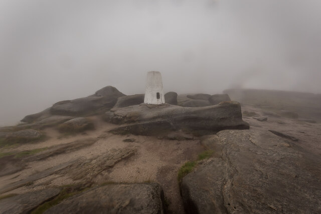
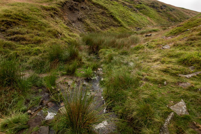
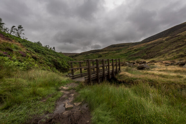
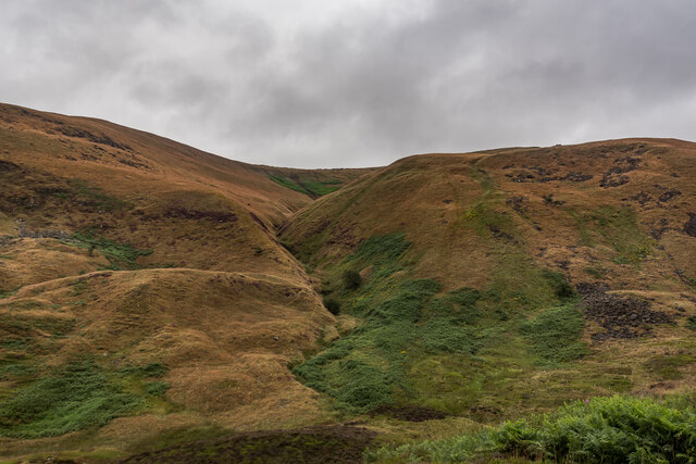
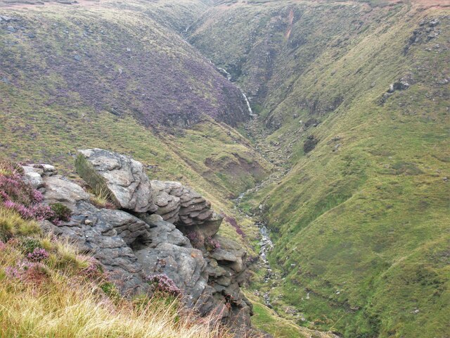
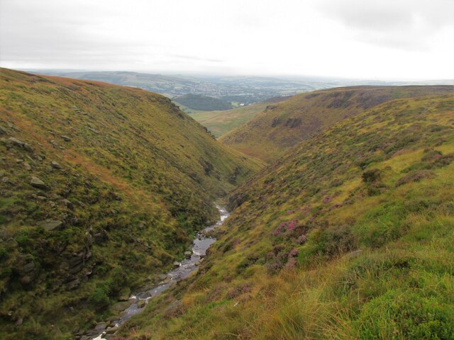
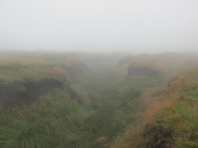
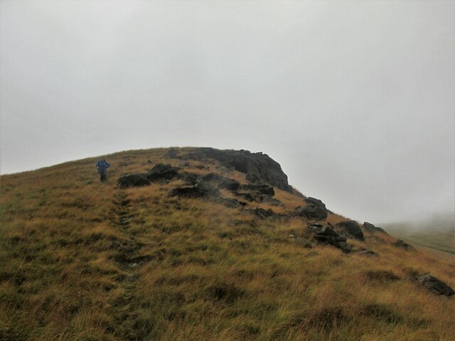
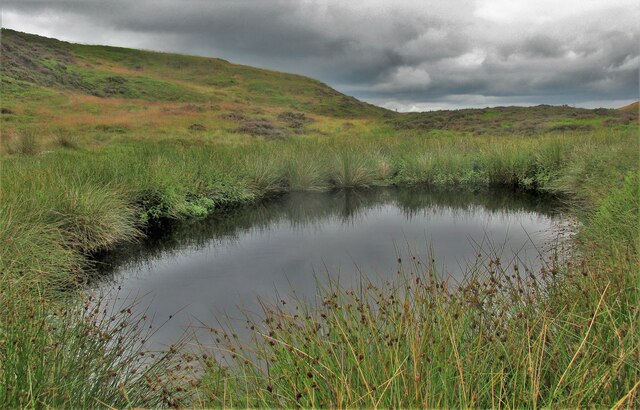
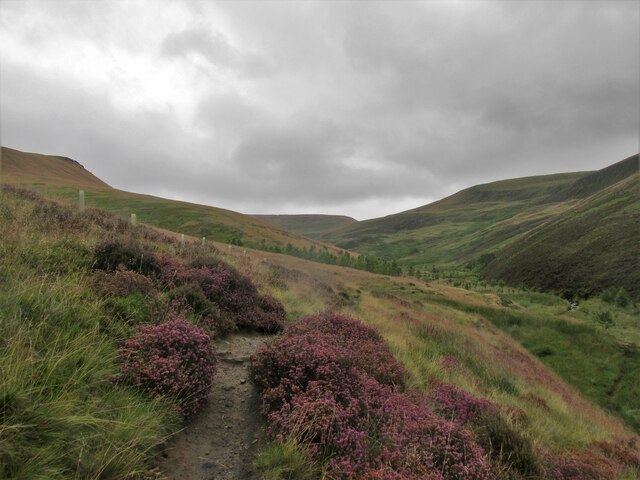
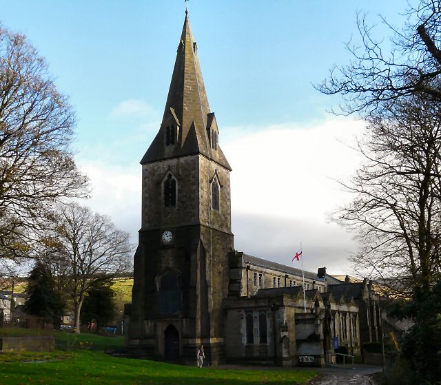
Ashton Clough Images

Images are sourced within 2km of 53.446567/-1.8795568 or Grid Reference SK0894. Thanks to Geograph Open Source API. All images are credited.

Wreckage of B-29 Superfortress Wreckage of the B-29 Superfortress Overexposed which crashed on 3rd Nov 1948
Wreckage of B-29 Superfortress
Wreckage of the B-29 Superfortress Overexposed which crashed on 3rd Nov 1948
Trig Point Higher Shelf Stones trig point
Trig Point
Higher Shelf Stones trig point
Hern Stones Hern Stones on Bleaklow
Hern Stones
Hern Stones on Bleaklow
Boeing RB-29A Wreckage, Higher Shelf Boeing 'RB-29A 44-61999 was part of the 16th Photographic Reconnaissance Squadron, 91st Reconnaissance Group, 311th Air Division in the Strategic Air Command of USAF. The aircraft bore the name Over Exposed after it was flown in July 1946 by the 509th Composite Group during Operation Crossroads to photograph nuclear testing at Bikini Atoll, including the dropping of an atomic bomb by B-29 Superfortress Dave's Dream. 

Centre of the image is one of the 4 engines. To the right is the nose wheel and to the left is one of the landing legs.

<span class="nowrap"><a title="https://en.wikipedia.org/wiki/Bleaklow_Bomber" rel="nofollow ugc noopener" href="https://en.wikipedia.org/wiki/Bleaklow_Bomber">Link</a><img style="margin-left:2px;" alt="External link" title="External link - shift click to open in new window" src="https://s1.geograph.org.uk/img/external.png" width="10" height="10"/></span>
Boeing RB-29A Wreckage, Higher Shelf
Boeing 'RB-29A 44-61999 was part of the 16th Photographic Reconnaissance Squadron, 91st Reconnaissance Group, 311th Air Division in the Strategic Air Command of USAF. The aircraft bore the name Over Exposed after it was flown in July 1946 by the 509th Composite Group during Operation Crossroads to photograph nuclear testing at Bikini Atoll, including the dropping of an atomic bomb by B-29 Superfortress Dave's Dream. Centre of the image is one of the 4 engines. To the right is the nose wheel and to the left is one of the landing legs. LinkExternal link
Sheep Escort, Pennine Way, Devils Dike
Hern Clough
Hern Clough
Higher Shelfstones Trigpoint TP3826 Very wet and Misty day on the high ground. Just up from the B29 crash site.

<span class="nowrap"><a title="http://trigpointing.uk/trig/3826" rel="nofollow ugc noopener" href="http://trigpointing.uk/trig/3826">Link</a><img style="margin-left:2px;" alt="External link" title="External link - shift click to open in new window" src="https://s1.geograph.org.uk/img/external.png" width="10" height="10"/></span>
Higher Shelfstones Trigpoint TP3826
Very wet and Misty day on the high ground. Just up from the B29 crash site. LinkExternal link
Urchin Clough Ford, Doctor's Gate path
Foot Bridge over Shelf Brook, Doctor's Gate Path Doctors Gate Path is an Old Roman Road.
Foot Bridge over Shelf Brook, Doctor's Gate Path
Doctors Gate Path is an Old Roman Road.
Ashton Clough From Doctor's Gate Path
Yellowslacks. Walking up to Bleaklow.
Yellowslacks.
Walking up to Bleaklow.
Yellowslacks Brook Along the rocks at Dog Rock.
Yellowslacks Brook
Along the rocks at Dog Rock.
Dowstone Clough A steady climb up from Old Glossop.
Dowstone Clough
A steady climb up from Old Glossop.
A clough near the Hern Stones A typical summer day on Bleaklow.
A clough near the Hern Stones
A typical summer day on Bleaklow.
Lower Shelf Stones Dropping down to the Doctor's Gate path.
Lower Shelf Stones
Dropping down to the Doctor's Gate path.
Small pool near the Doctor's Gate path A lovely spot, hidden from the main path.
Small pool near the Doctor's Gate path
A lovely spot, hidden from the main path.
Path alongside Shelf Brook
The Pennine Way near the Snake Pass
Show me another place!

Ashton Clough is located at Grid Ref: SK0894 (Lat: 53.446567, Lng: -1.8795568)

Administrative County: Derbyshire

District: High Peak

Police Authority: Derbyshire

What 3 Words

///troubled.swatted.extent. Near Glossop, Derbyshire

Related Wikis

Nearby Amenities

Located within 500m of 53.446567,-1.8795568
Shelf Moor
Place: locality
Lat/Long: 53.4487178/-1.8781098
James's Thorn
Ele: 572
Natural: peak
Lat/Long: 53.4507114/-1.8802208
The data included in this document is from www.openstreetmap.org. The data is made available under ODbL.

Have you been to Ashton Clough?

Leave your review of Ashton Clough below (or comments, questions and feedback).