Valley Covers

Valley in Gloucestershire Cotswold

England

Valley Covers

The Wardens' Way entering Guiting Wood Signs make it clear that this is part of the Farmcote Estate. The woodland to the right is supposedly protected by Gurkha Security.
The Wardens' Way entering Guiting Wood Credit: Bill Boaden

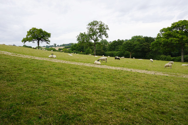
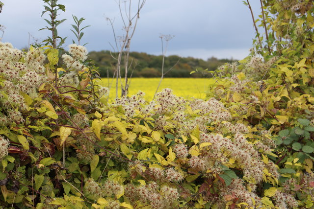
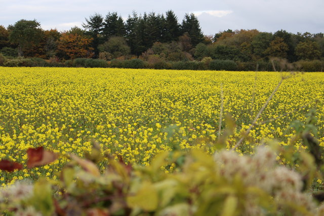
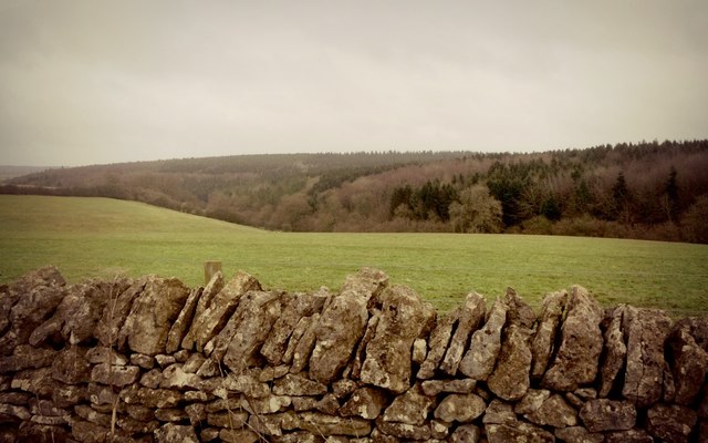
Valley Covers, Gloucestershire, commonly known as Valley, is a small village located in the South West region of England. Situated in the picturesque county of Gloucestershire, Valley is nestled in the beautiful Severn Vale, surrounded by rolling hills and lush green countryside.

The village is characterized by its charming rural atmosphere and traditional English architecture. The houses in Valley are predominantly made of local stone, giving them a distinct and timeless appearance. The community is relatively small, comprising of a close-knit population of around 500 residents.

Valley is known for its idyllic setting, offering residents and visitors alike a peaceful and tranquil environment. The village is enveloped by picturesque landscapes, with the nearby River Severn flowing gently through the area. This natural beauty provides ample opportunities for outdoor activities such as hiking, cycling, and fishing.

Despite its small size, Valley boasts a range of amenities to cater to its residents' needs. These include a village hall, a primary school, a post office, and a local pub, where locals can gather to socialize and enjoy a drink or a meal.

The village is well-connected to nearby towns and cities, with good transportation links. The bustling market town of Stroud is just a short drive away, offering a wider range of amenities and services.

Overall, Valley Covers, Gloucestershire, is a charming village that offers a peaceful and picturesque lifestyle in the heart of the Gloucestershire countryside.

If you have any feedback on the listing, please let us know in the comments section below.

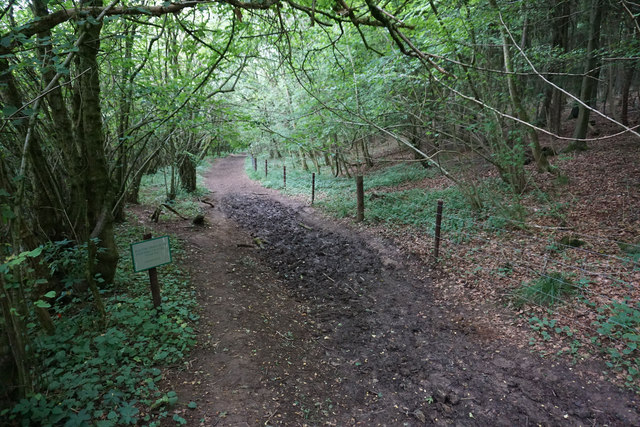
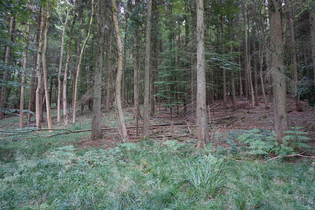
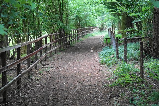
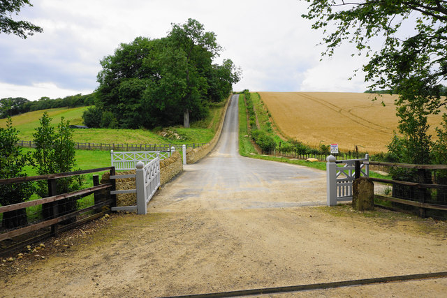
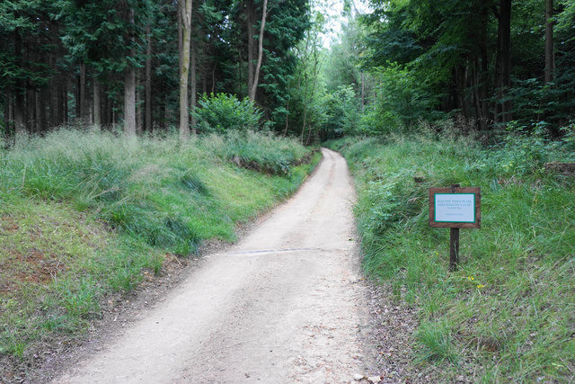
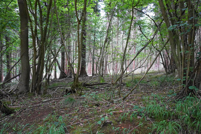
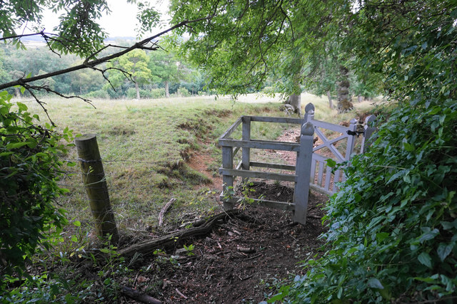
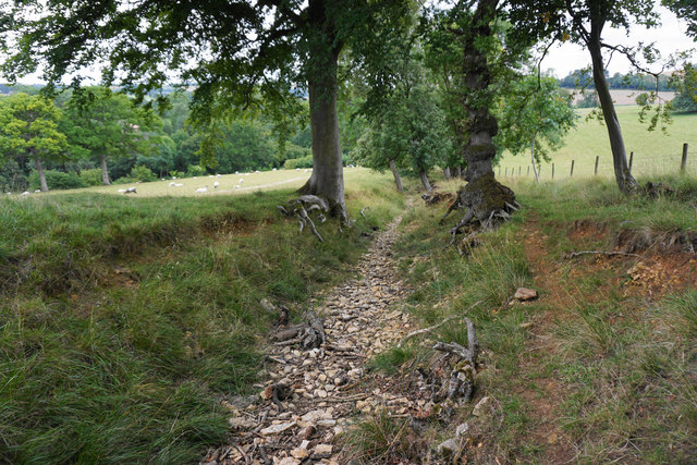
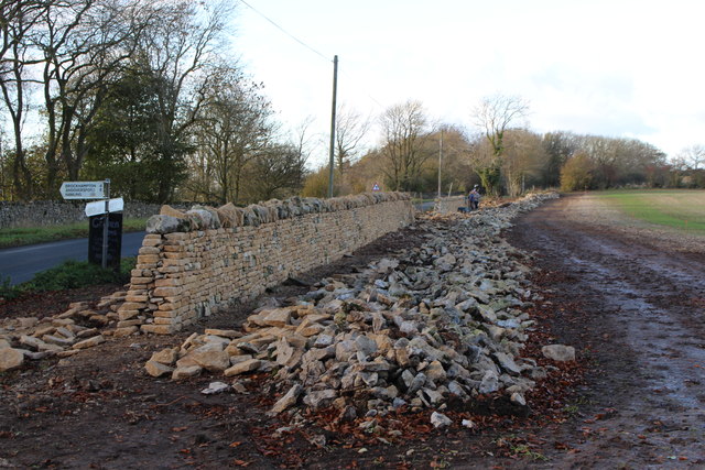
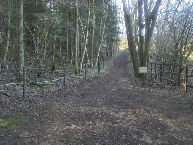
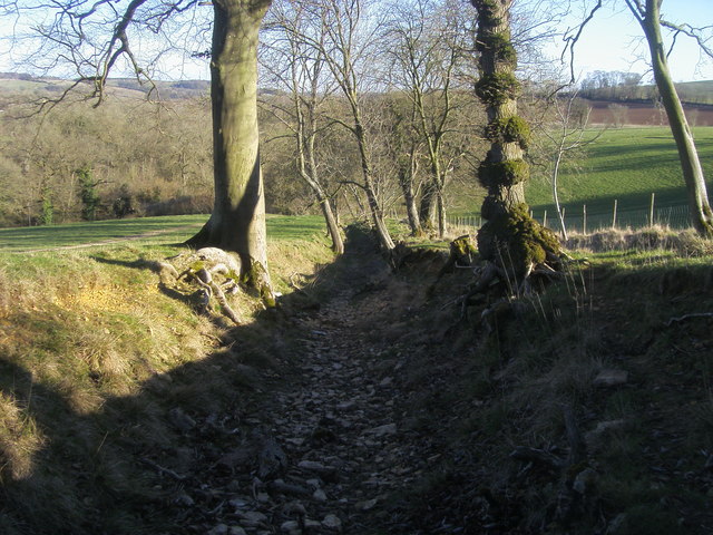
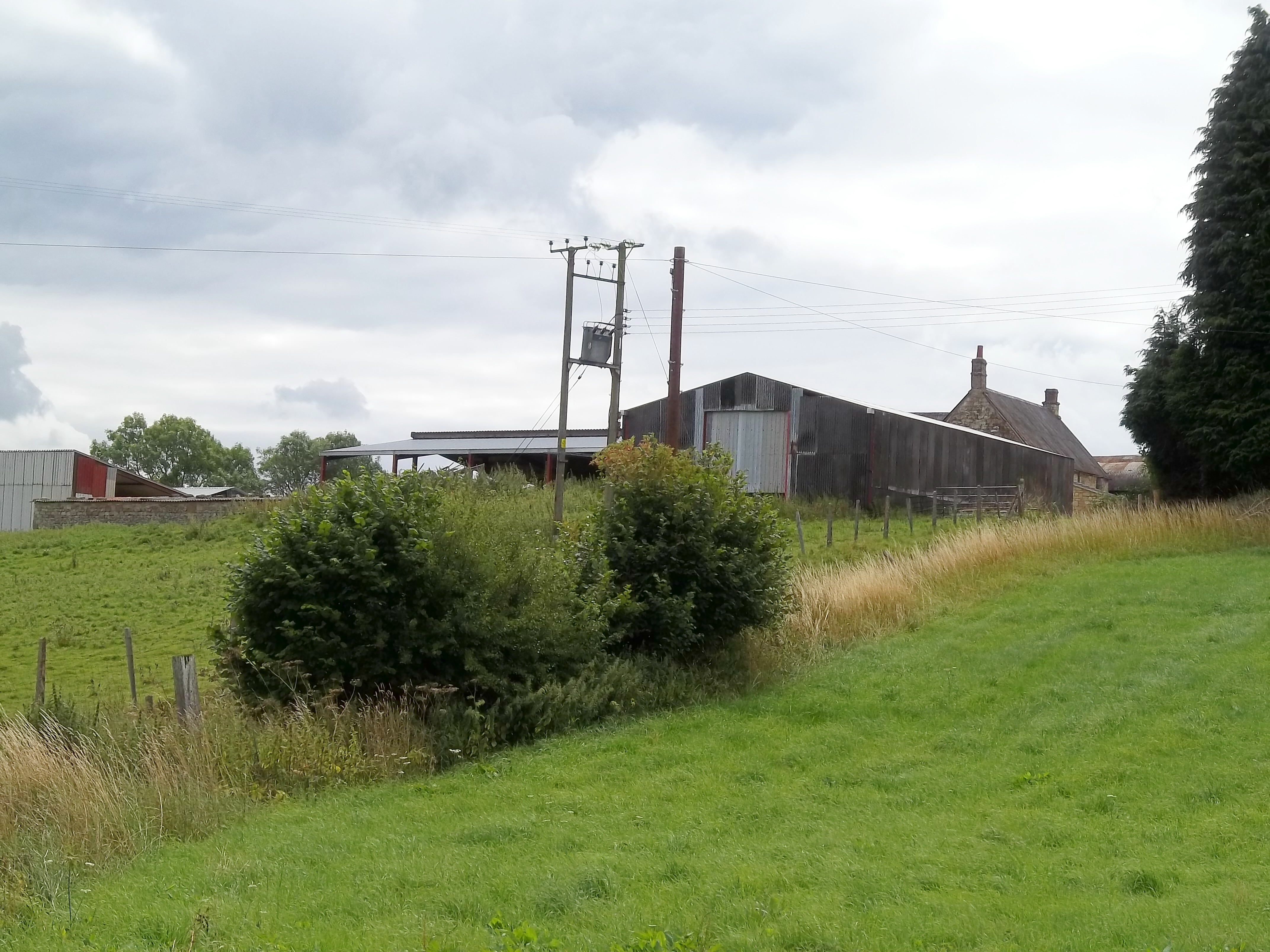
Valley Covers Images

Images are sourced within 2km of 51.946476/-1.8988543 or Grid Reference SP0727. Thanks to Geograph Open Source API. All images are credited.

The Wardens' Way entering Guiting Wood Signs make it clear that this is part of the Farmcote Estate. The woodland to the right is supposedly protected by Gurkha Security.
The Wardens' Way entering Guiting Wood
Signs make it clear that this is part of the Farmcote Estate. The woodland to the right is supposedly protected by Gurkha Security.
Forest in Guiting Wood Looking up from the Wardens' Way.
Forest in Guiting Wood
Looking up from the Wardens' Way.
Path by Guiting Wood The path runs by the edge of the wood but there are still only limited opportunities to look out to the left. Ahead on the path are numerous pheasants scuttling away, and they provide an almost continuous rustling sound in the undergrowth.
Path by Guiting Wood
The path runs by the edge of the wood but there are still only limited opportunities to look out to the left. Ahead on the path are numerous pheasants scuttling away, and they provide an almost continuous rustling sound in the undergrowth.
Estate road by Guiting Wood Part of the Farmcote Estate. The road has been fairly recently constructed and does not appear on the OS map.
Estate road by Guiting Wood
Part of the Farmcote Estate. The road has been fairly recently constructed and does not appear on the OS map.
Track through Guiting Wood This part of the track is used by the Wardens' Way and the Winchcombe Way. The sign warns of electric fences but there are none in sight here.
Track through Guiting Wood
This part of the track is used by the Wardens' Way and the Winchcombe Way. The sign warns of electric fences but there are none in sight here.
Woodland in Guiting Wood The woodland is not thick here, but there are no views of any distance available.
Woodland in Guiting Wood
The woodland is not thick here, but there are no views of any distance available.
Sheep by Guiting Wood A rare view of open land from the path through the wood.
Sheep by Guiting Wood
A rare view of open land from the path through the wood.
Wardens' Way emerging from Guiting Wood The gate is in the locally universal Farmcote Estate livery.
Wardens' Way emerging from Guiting Wood
The gate is in the locally universal Farmcote Estate livery.
Path to Guiting Power The path is following a rough stream bed and it is much easier to walk on the grass up on the left.
Path to Guiting Power
The path is following a rough stream bed and it is much easier to walk on the grass up on the left.
Sheep above Castlett Wood Looking from the Wardens' Way across the hillside above a tributary of the River Windrush.
Sheep above Castlett Wood
Looking from the Wardens' Way across the hillside above a tributary of the River Windrush.
October hedgerow near Kineton The field of yellow blooms in late October is stubble turnips in flower!
October hedgerow near Kineton
The field of yellow blooms in late October is stubble turnips in flower!
Field of stubble turnips near Kineton in October
Construction of new neo-classical Cotswold mansion near Winchcombe, Gloucestershire Built by property developer Jamie Ritblat, this view from January 2016, shows the landscaping of grounds at a new neo-classical mansion being built at Farmcote, Winchcombe, Gloucestershire. According to the Sunday Times, the house boasts "11 bedrooms and servants’ quarters, a boules pitch, croquet lawn, fruit cages, stables, tennis court and underground swimming pool. The main house will have a billiards and cinema room, gun storage area and wine cellar."
Construction of new neo-classical Cotswold mansion near Winchcombe, Gloucestershire
Built by property developer Jamie Ritblat, this view from January 2016, shows the landscaping of grounds at a new neo-classical mansion being built at Farmcote, Winchcombe, Gloucestershire. According to the Sunday Times, the house boasts "11 bedrooms and servants’ quarters, a boules pitch, croquet lawn, fruit cages, stables, tennis court and underground swimming pool. The main house will have a billiards and cinema room, gun storage area and wine cellar."
Guiting Wood, Gloucestershire The view looking south east from Campden Lane, Farmcote, near Winchcombe, Gloucestershire, showing a traditional Cotswold drystone wall in the foreground and mixed woodland comprising Guiting Wood.
Guiting Wood, Gloucestershire
The view looking south east from Campden Lane, Farmcote, near Winchcombe, Gloucestershire, showing a traditional Cotswold drystone wall in the foreground and mixed woodland comprising Guiting Wood.
Rebuilding an old Cotswold stone wall near Farmcote
Warden's Way Warden's Way heading up to Deadmanbury Gate
Warden's Way
Warden's Way heading up to Deadmanbury Gate
Warden's Way Warden's Way heading through Guiting Wood
Warden's Way
Warden's Way heading through Guiting Wood
Warden's Way Warden's Way heading to Critchford Lane
Warden's Way
Warden's Way heading to Critchford Lane
Show me another place!

Valley Covers is located at Grid Ref: SP0727 (Lat: 51.946476, Lng: -1.8988543)

Administrative County: Gloucestershire

District: Cotswold

Police Authority: Gloucestershire

What 3 Words

///crackled.smirking.harvest. Near Winchcombe, Gloucestershire

Related Wikis

Pinnock and Hyde

Pinnock and Hyde was a township and civil parish in the Cotswolds in Gloucestershire, England. It lies 4 miles (6.4 km) east of the town of Winchcombe...

Farmcote

Farmcote is a hamlet in the Cotswolds in Gloucestershire, England. It lies 2 miles (3.2 km) east of the town of Winchcombe and 2 miles (3.2 km) west of...
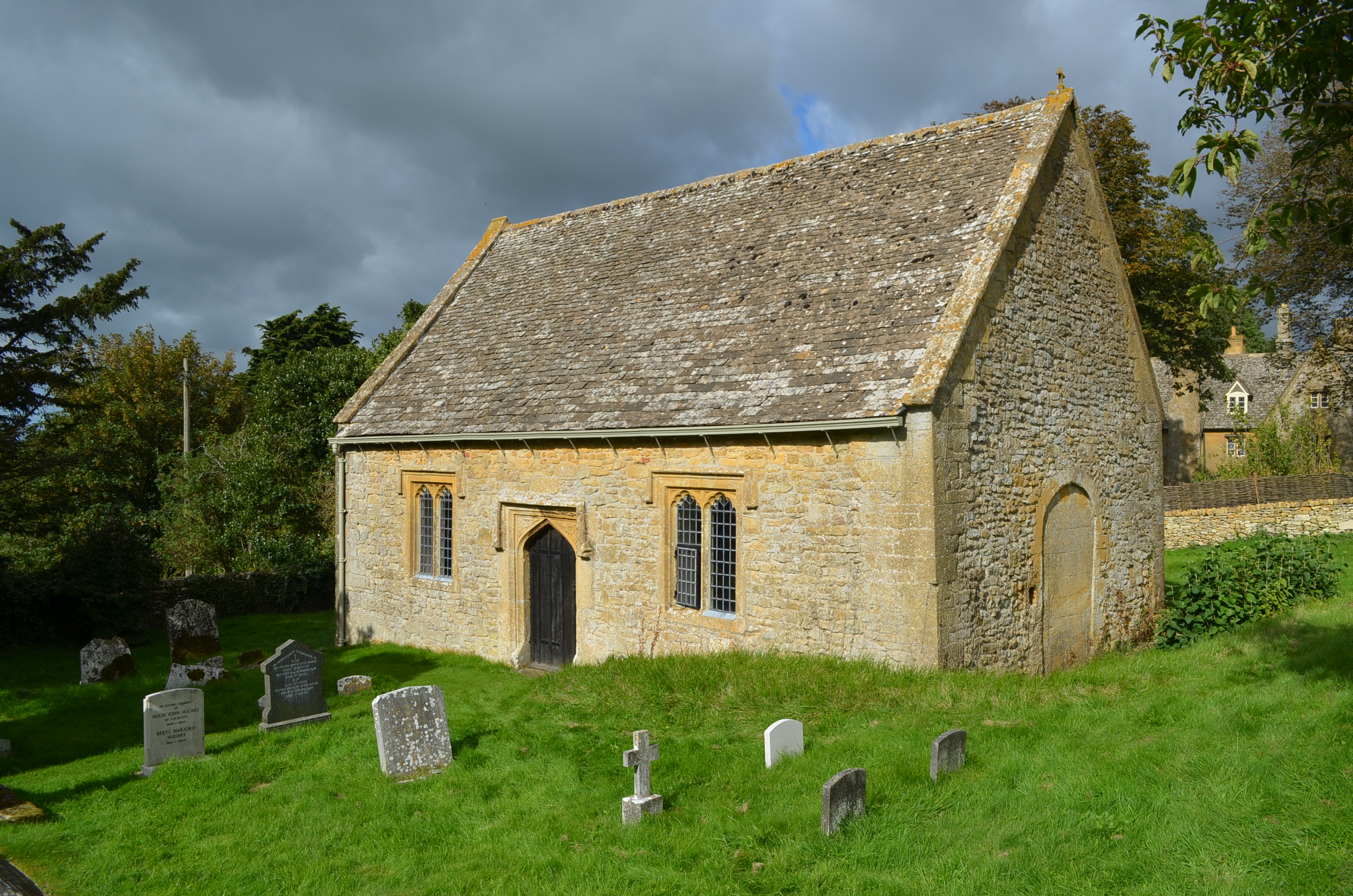
St Faith, Farmcote

St Faith, Farmcote is a chapel of ease in Farmcote, Gloucestershire, two miles west-north-west of Temple Guiting. It has been designated by English Heritage...

Farmcote Grange

Farmcote Grange was a medieval monastic grange at Farmcote in Gloucestershire, England. It was a grange of Hailes Abbey. == References ==

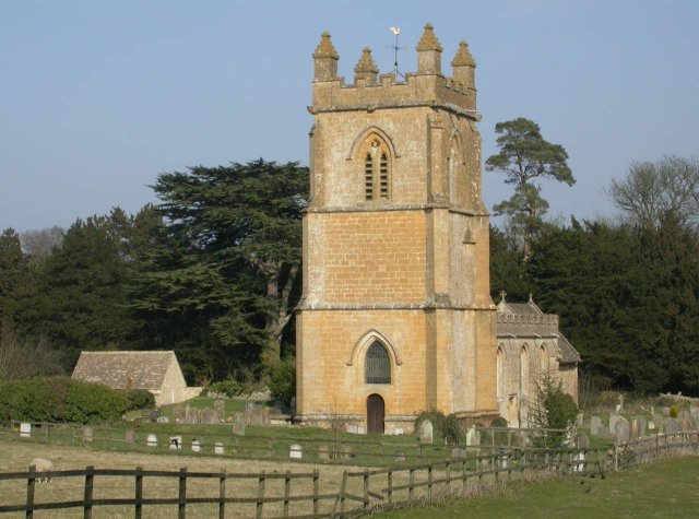
Church of St Mary, Temple Guiting

The Anglican Church of St Mary at Temple Guiting in the Cotswold District of Gloucestershire, England was built in the 12th century. It is a grade I listed...

Temple Guiting Preceptory

Temple Guiting Preceptory was a medieval monastic house of the Knights Templar in Gloucestershire, England. It was founded around the middle of the twelfth...

Manor Farmhouse, Temple Guiting

Temple Guiting Manor is an early 16th-century house at Temple Guiting, Gloucestershire, England. It is a Grade I listed building, and is in private ownership...

Temple Guiting

Temple Guiting is a village and civil parish in the Cotswolds, in Gloucestershire, England. The civil parish includes the smaller settlements of Barton...

Nearby Amenities

Located within 500m of 51.946476,-1.8988543
Pinnock Wood Farm
Power: pole
Transformer: distribution
Voltage Primary: 11000
Lat/Long: 51.9489586/-1.9006146
Nut Plantation
Power: pole
Transformer: distribution
Voltage Primary: 11000
Lat/Long: 51.9435332/-1.9021717
Power: pole
Lat/Long: 51.9427363/-1.9021428
Power: pole
Lat/Long: 51.9440855/-1.9021817
Power: pole
Lat/Long: 51.9447605/-1.9021482
Power: pole
Lat/Long: 51.9455219/-1.901538
Power: pole
Lat/Long: 51.9471818/-1.9016191
Power: pole
Lat/Long: 51.9462894/-1.9012255
Power: pole
Lat/Long: 51.9478819/-1.9021562
Power: pole
Lat/Long: 51.9485515/-1.9016017
Power: pole
Lat/Long: 51.9490107/-1.9012309
Power: pole
Lat/Long: 51.9495079/-1.900856
Power: pole
Lat/Long: 51.9502605/-1.9011518
The data included in this document is from www.openstreetmap.org. The data is made available under ODbL.

Have you been to Valley Covers?

Leave your review of Valley Covers below (or comments, questions and feedback).