Far Cranehow Bottom

Valley in Yorkshire Richmondshire

England

Far Cranehow Bottom

Disused tips and shafts High Moss above Glead Gill. There is a Boundary stone named Snowdon Man. As well as being a parish boundary it forms the Southern Boundary of the Yorkshire Dales N.P.
Disused tips and shafts Credit: Colin Gregory

Far Cranehow Bottom is a picturesque valley located in the heart of Yorkshire, England. Nestled amidst rolling hills and lush greenery, this idyllic landscape offers a tranquil escape from the hustle and bustle of city life.

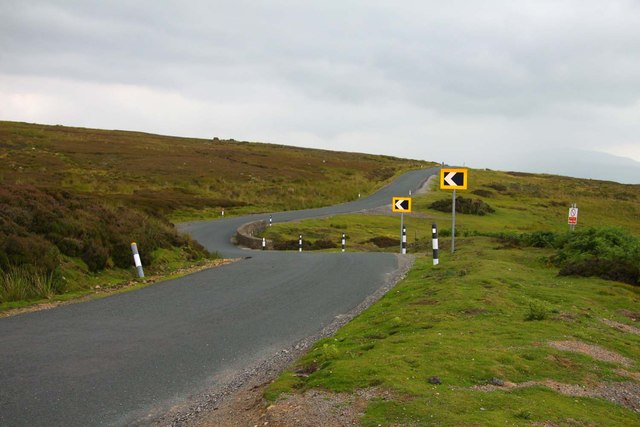
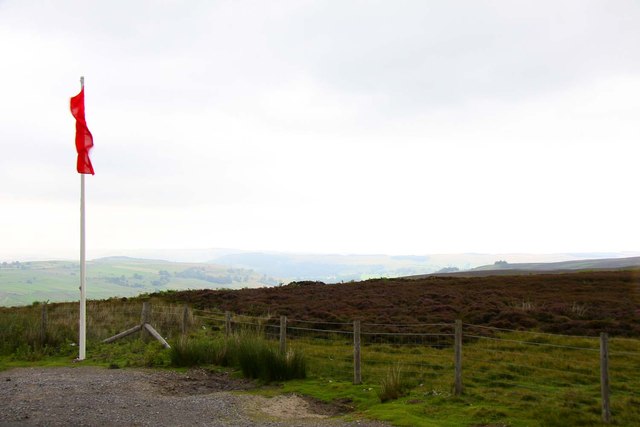
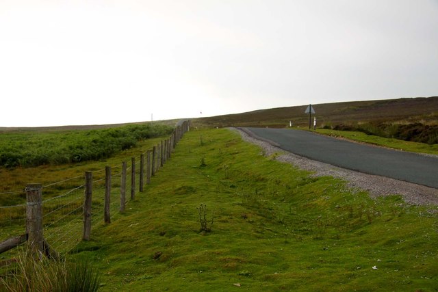
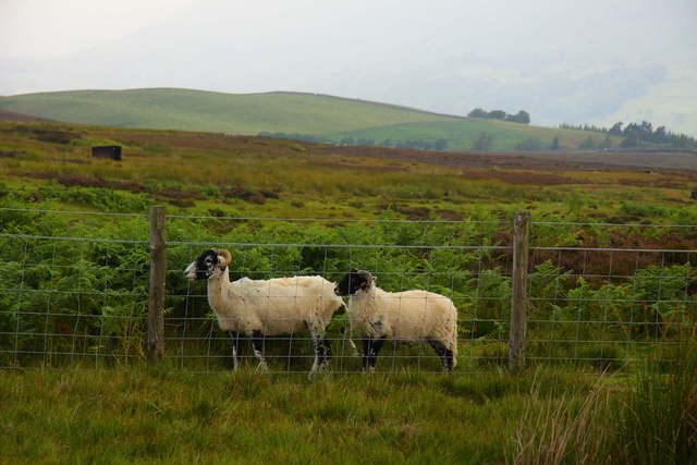
The valley is characterized by its sweeping vistas, with panoramic views of the surrounding countryside. The lush meadows and fields are home to a diverse range of flora and fauna, creating a haven for nature enthusiasts and wildlife lovers. Walking through the valley, visitors can expect to see wildflowers, ancient trees, and perhaps even spot some of the local wildlife, such as rabbits, deer, and various bird species.

One of the prominent features of Far Cranehow Bottom is the meandering river that flows through the valley. This river adds to the beauty of the landscape, providing a soothing soundtrack as it cascades over rocks and through rapids. The crystal-clear waters of the river also attract anglers, who come to try their luck at catching trout and other fish species.

The valley is also steeped in history, with evidence of human habitation dating back centuries. Ruins of old stone cottages and farm buildings can be found, giving visitors a glimpse into the region's past. Additionally, the valley is dotted with quaint villages and hamlets that retain their traditional charm, offering a glimpse into rural Yorkshire life.

Overall, Far Cranehow Bottom is a stunning valley that offers visitors a chance to immerse themselves in the beauty of nature, discover its rich history, and experience the serenity of the Yorkshire countryside.

If you have any feedback on the listing, please let us know in the comments section below.

Far Cranehow Bottom Images

Images are sourced within 2km of 54.344975/-1.8936565 or Grid Reference SE0794. Thanks to Geograph Open Source API. All images are credited.
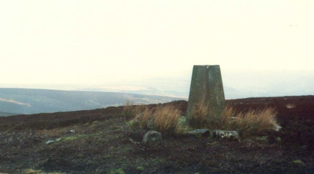
Disused tips and shafts High Moss above Glead Gill. There is a Boundary stone named Snowdon Man. As well as being a parish boundary it forms the Southern Boundary of the Yorkshire Dales N.P.
Disused tips and shafts
High Moss above Glead Gill. There is a Boundary stone named Snowdon Man. As well as being a parish boundary it forms the Southern Boundary of the Yorkshire Dales N.P.
Firing range from Whipperdale Bank Between Stainton Moor and Bellerby Moor.
Firing range from Whipperdale Bank
Between Stainton Moor and Bellerby Moor.
Road to Reeth
Road to Reeth
Red flag on Ellerton Moor
Road to Leyburn
Road to Leyburn
Sheep on Ellerton Moor
Trig Point on Whit Fell, Stainton Moor The triangulation pillar has an Ordnance Survey flush bracket bench mark with serial number S7589. More information at <span class="nowrap"><a title="http://trigpointinguk.com/trigs/trig-details.php?t=6871" rel="nofollow ugc noopener" href="http://trigpointinguk.com/trigs/trig-details.php?t=6871">Link</a><img style="margin-left:2px;" alt="External link" title="External link - shift click to open in new window" src="https://s1.geograph.org.uk/img/external.png" width="10" height="10"/></span>
Trig Point on Whit Fell, Stainton Moor
The triangulation pillar has an Ordnance Survey flush bracket bench mark with serial number S7589. More information at LinkExternal link
Black Beck Bridge Carrying the road from Leyburn to Grinton.
Black Beck Bridge
Carrying the road from Leyburn to Grinton.
Black Beck Upstream of the road bridge.
Black Beck
Upstream of the road bridge.
Army Limit at Wimp Hill View over the public footpath stile on Whipperdale Bank.
Army Limit at Wimp Hill
View over the public footpath stile on Whipperdale Bank.
Rifle Range alongside Black Beck Unlike others nearby, not on my 2005 OS map.
Rifle Range alongside Black Beck
Unlike others nearby, not on my 2005 OS map.
Do soldiers train to shoot grouse? Grouse butt near Bellerby Ranges, on the north side of Black Beck.
Do soldiers train to shoot grouse?
Grouse butt near Bellerby Ranges, on the north side of Black Beck.
Open access moorland Just west of Black Beck Bridge.
Open access moorland
Just west of Black Beck Bridge.
Danger Area, Bellerby Moor Army training area on the east side of Whipperdale Bank.
Danger Area, Bellerby Moor
Army training area on the east side of Whipperdale Bank.
Far Cranehow Bottom With Preston Moor in the distance, and [over the horizon] a fire that was still burning two days later.
Far Cranehow Bottom
With Preston Moor in the distance, and [over the horizon] a fire that was still burning two days later.
Military building near the rifle range Seen from the Leyburn - Grinton road.
Military building near the rifle range
Seen from the Leyburn - Grinton road.
The army's flag is deepest red Warning of an active army training area on Ellerton Moor.
The army's flag is deepest red
Warning of an active army training area on Ellerton Moor.
From one flag to another The western boundary of the army training area, alongside the Leyburn - Grinton road.
From one flag to another
The western boundary of the army training area, alongside the Leyburn - Grinton road.
Show me another place!

Far Cranehow Bottom is located at Grid Ref: SE0794 (Lat: 54.344975, Lng: -1.8936565)

Division: North Riding

Administrative County: North Yorkshire

District: Richmondshire

Police Authority: North Yorkshire

What 3 Words

///magnets.calm.emulating. Near Leyburn, North Yorkshire

Nearby Locations

Far Cranehow Bottom

Related Wikis

Ellerton Abbey

Ellerton Abbey is a civil parish in the Richmondshire district of North Yorkshire, England. It is located on the River Swale in lower Swaledale, 6 miles...

Preston-under-Scar

Preston-under-Scar is a village and civil parish in North Yorkshire, England. It is situated approximately 2 miles (4 km) west of Leyburn. The village...
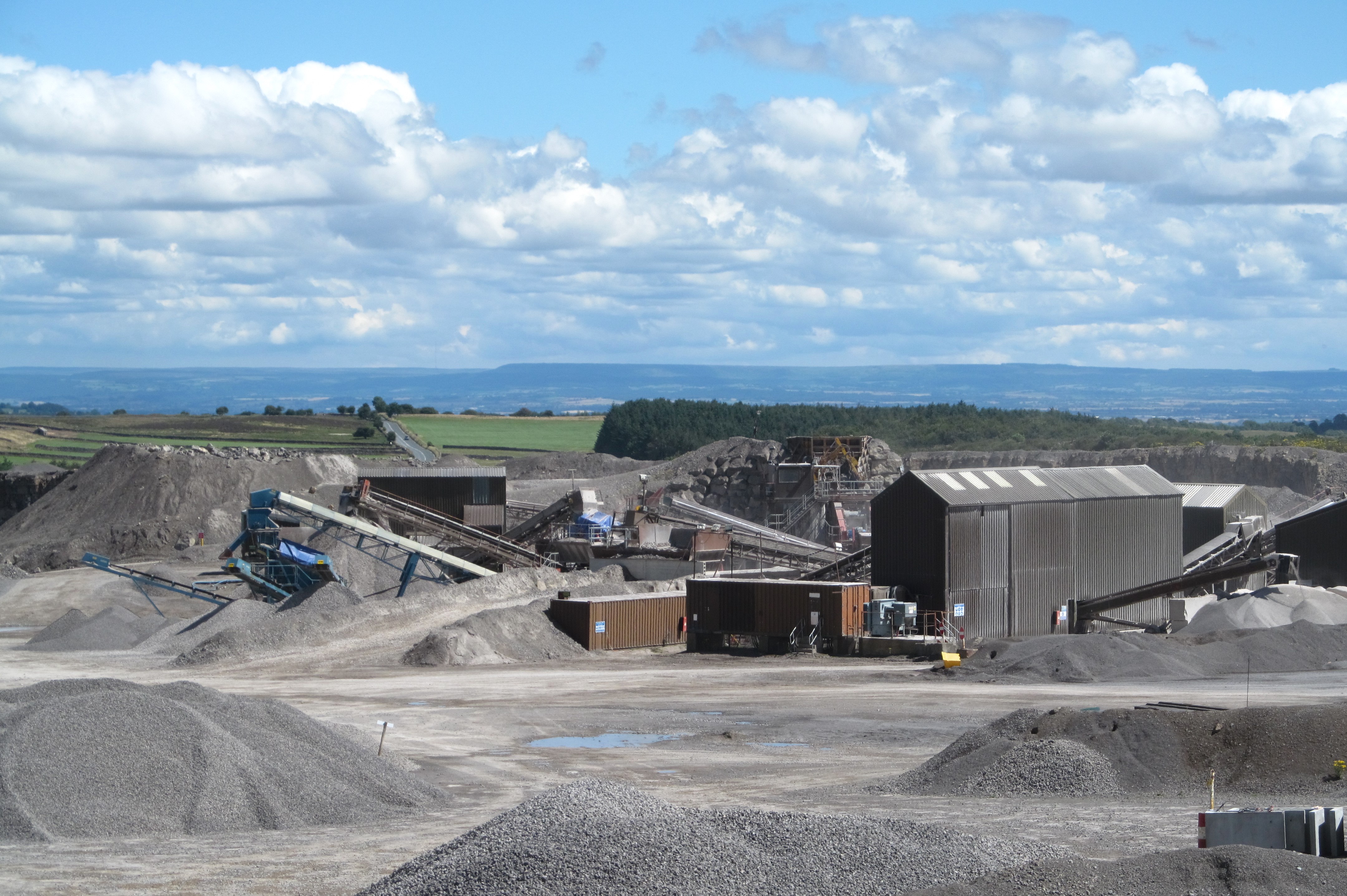
Wensley Quarry

Wensley Quarry is an active limestone quarry near to Preston-under-Scar, North Yorkshire, England. Products from the quarry include industrial carbonate...

Grinton Smelt Mill

Grinton Smelt Mill (also known as How Mill) is a ruined lead mining and processing site on Cogden Moor, south of Grinton in Swaledale, North Yorkshire...

Nearby Amenities

Located within 500m of 54.344975,-1.8936565
Far Cranehow Bottom
Is In County: North Yorkshire
Is In Historic County: Yorkshire
Place: locality
Source: NPE
Lat/Long: 54.3477909/-1.8988671
The data included in this document is from www.openstreetmap.org. The data is made available under ODbL.

Have you been to Far Cranehow Bottom?

Leave your review of Far Cranehow Bottom below (or comments, questions and feedback).