Leyzing Clough
Valley in Yorkshire
England
Leyzing Clough

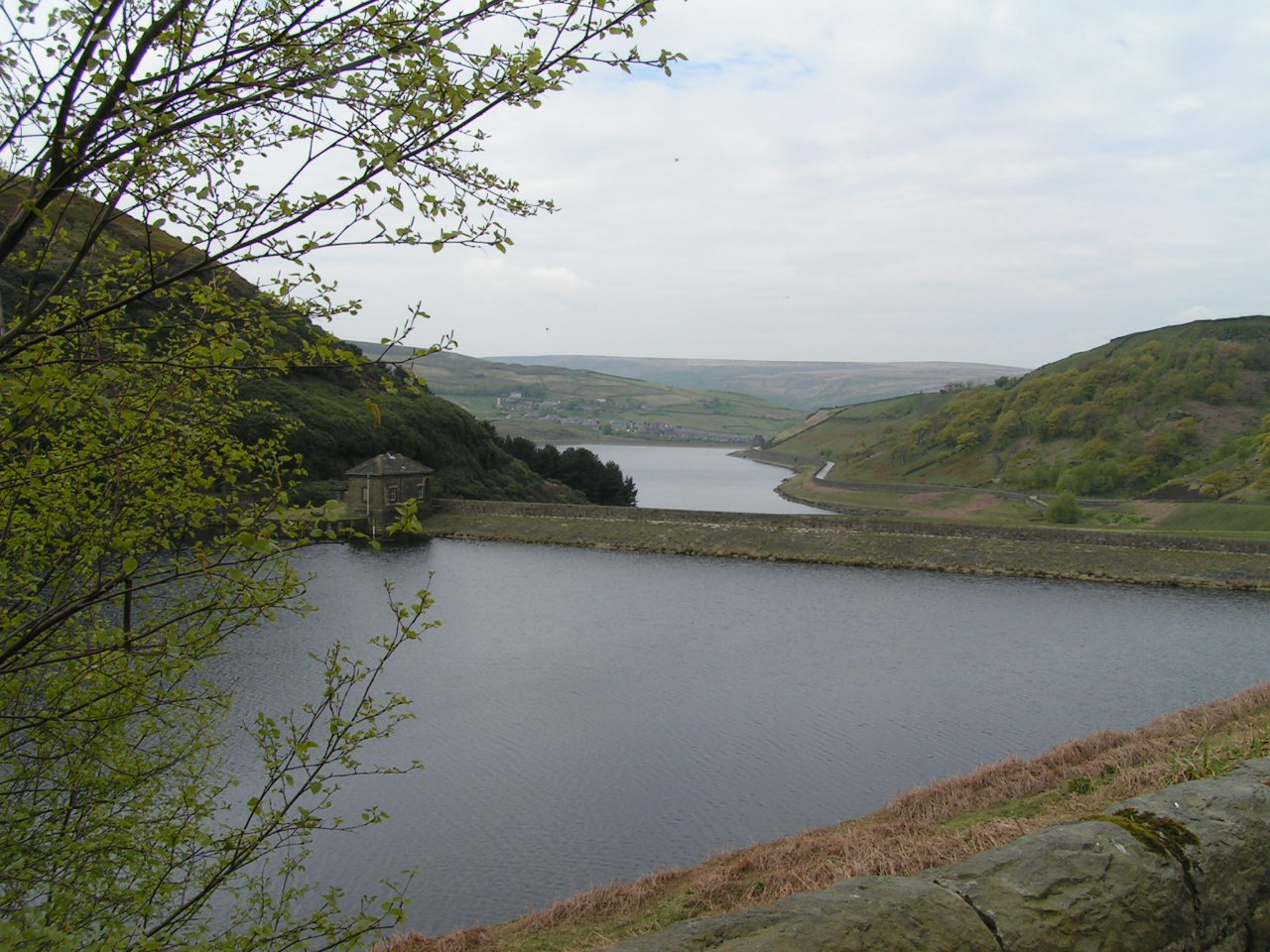
Leyzing Clough is a picturesque valley located in the county of Yorkshire, England. Nestled amidst the rolling hills of the Yorkshire Dales, the valley is known for its stunning natural beauty and peaceful atmosphere. Leyzing Clough is situated near the village of Leyzing, which itself is a quaint and charming settlement.
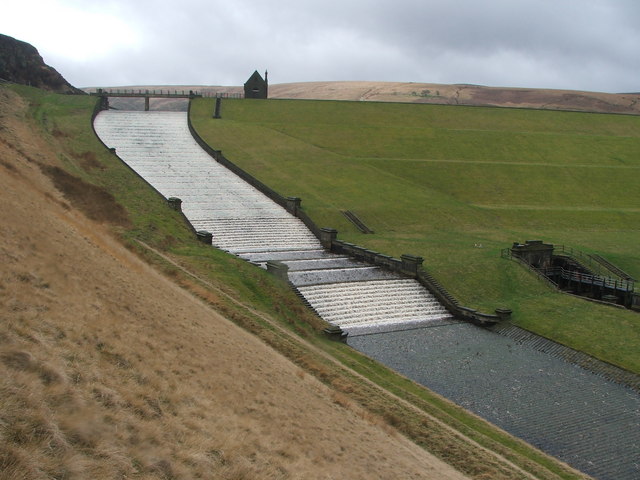
The valley is characterized by its lush greenery, with a meandering river running through the center, adding to its idyllic charm. The river is fed by numerous streams and springs that flow down from the surrounding hills and mountains, creating a network of cascades and waterfalls that add to the valley's allure.
The landscape of Leyzing Clough is mainly made up of meadows and woodlands, providing a habitat for a rich variety of flora and fauna. The wooded areas are home to a diverse range of trees, including oak, beech, and birch, providing a vibrant display of colors during the autumn months. The valley is also known for its vibrant wildflower meadows, which burst into a riot of colors during the spring and summer seasons.
Leyzing Clough is a haven for nature lovers and outdoor enthusiasts, offering numerous walking trails and hiking routes that showcase the valley's beauty. Visitors can enjoy peaceful walks along the riverbank, taking in the sights and sounds of the surrounding wildlife. The valley also offers opportunities for birdwatching, with a variety of species, including kingfishers and herons, frequently spotted along the river.
In summary, Leyzing Clough is a stunning valley in Yorkshire, renowned for its natural beauty, tranquil ambiance, and abundant wildlife. It is a haven for those seeking a peaceful escape amidst nature's splendor.
If you have any feedback on the listing, please let us know in the comments section below.
Leyzing Clough Images
Images are sourced within 2km of 53.571187/-1.8942286 or Grid Reference SE0708. Thanks to Geograph Open Source API. All images are credited.


Leyzing Clough is located at Grid Ref: SE0708 (Lat: 53.571187, Lng: -1.8942286)
Division: West Riding
Unitary Authority: Kirklees
Police Authority: West Yorkshire
What 3 Words
///crypt.rashers.casually. Near Marsden, West Yorkshire
Nearby Locations
Related Wikis
Wessenden Valley
The Wessenden Valley is a moorland valley in the Dark Peak, immediately south of Marsden in West Yorkshire, England. The name Wessenden derives from Old...
Butterley Reservoir, West Yorkshire
Butterley Reservoir is a reservoir located near Marsden, West Yorkshire, near the Peak District National Park boundary. It was completed in 1906. The reservoir...

Holmfirth floods
The Holmfirth floods were a number of instances when severe flooding had occurred in the Holme Valley, West Yorkshire, England affecting Holmfirth and...
Bank Bottom Mill
Bank Bottom Mill, later known as Marsden Mill, was from 1824 an important centre for the production of woollen cloth in Marsden, West Yorkshire, England...
Nearby Amenities
Located within 500m of 53.571187,-1.8942286Have you been to Leyzing Clough?
Leave your review of Leyzing Clough below (or comments, questions and feedback).