Cliff Plantation
Wood, Forest in Gloucestershire Cotswold
England
Cliff Plantation
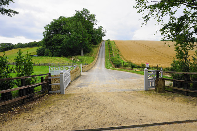
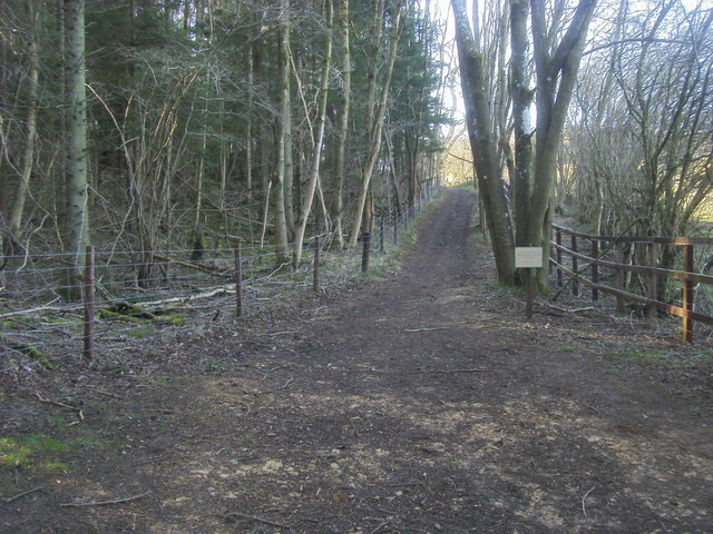
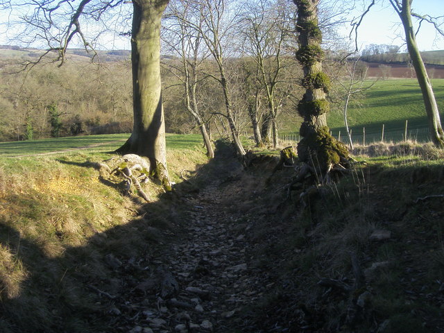
Cliff Plantation is a stunning woodland area located in Gloucestershire, England. Nestled within the beautiful Forest of Dean, this plantation offers visitors a serene and tranquil escape from the hustle and bustle of everyday life.
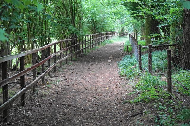
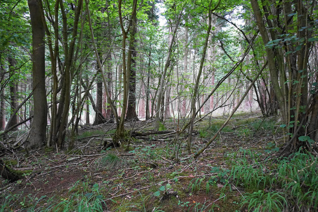
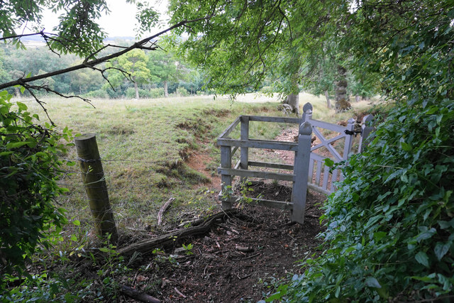
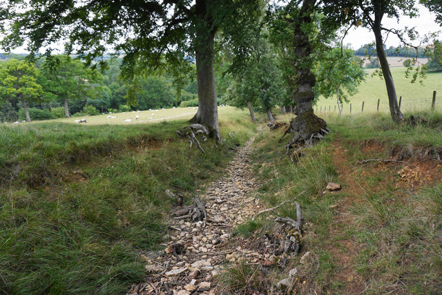
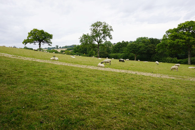
Covering an expansive area of rich and diverse woodland, Cliff Plantation is home to a wide variety of trees, including oak, beech, and pine. The dense canopy provides a haven for wildlife, making it a popular spot for birdwatchers and nature enthusiasts. Visitors can often catch a glimpse of native species such as woodpeckers, owls, and deer as they explore the plantation's many paths and trails.
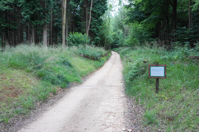
The plantation is well-maintained, with clear pathways and signposts guiding visitors through its enchanting landscape. There are picnic areas and benches scattered throughout, making it a perfect destination for families and those seeking a peaceful spot for a leisurely lunch surrounded by nature's beauty.
Cliff Plantation also offers a wealth of recreational activities for the more adventurous visitor. The plantation is crisscrossed with biking and hiking trails, providing ample opportunities for outdoor enthusiasts to explore the area on foot or two wheels. Additionally, there are designated areas for camping and fishing, allowing visitors to fully immerse themselves in the natural surroundings.
Overall, Cliff Plantation is a hidden gem within the Forest of Dean, offering visitors a chance to reconnect with nature and enjoy the tranquility of the woodland. Whether you are seeking a peaceful retreat or an active outdoor adventure, this plantation has something for everyone to enjoy.
If you have any feedback on the listing, please let us know in the comments section below.
Cliff Plantation Images
Images are sourced within 2km of 51.948642/-1.8881556 or Grid Reference SP0727. Thanks to Geograph Open Source API. All images are credited.


Cliff Plantation is located at Grid Ref: SP0727 (Lat: 51.948642, Lng: -1.8881556)
Administrative County: Gloucestershire
District: Cotswold
Police Authority: Gloucestershire
What 3 Words
///showcase.thickened.managers. Near Winchcombe, Gloucestershire
Nearby Locations
Related Wikis
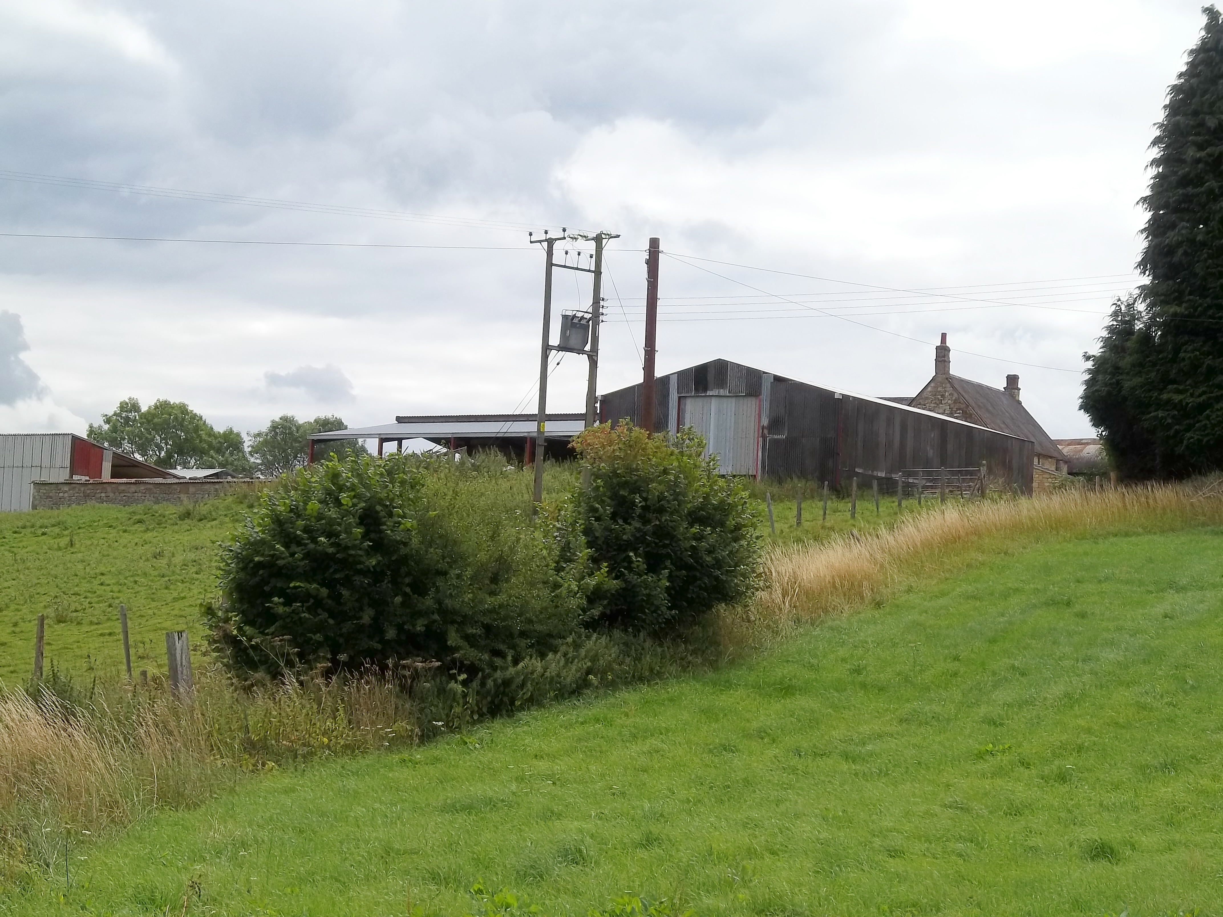
Pinnock and Hyde
Pinnock and Hyde was a township and civil parish in the Cotswolds in Gloucestershire, England. It lies 4 miles (6.4 km) east of the town of Winchcombe...

Manor Farmhouse, Temple Guiting
Temple Guiting Manor is an early 16th-century house at Temple Guiting, Gloucestershire, England. It is a Grade I listed building, and is in private ownership...

Temple Guiting Preceptory
Temple Guiting Preceptory was a medieval monastic house of the Knights Templar in Gloucestershire, England. It was founded around the middle of the twelfth...
Temple Guiting
Temple Guiting is a village and civil parish in the Cotswolds, in Gloucestershire, England. The civil parish includes the smaller settlements of Barton...

Ford, Gloucestershire
Ford is a hamlet in Gloucestershire, England. Ford lies on the B4077 road where it crosses the upper reaches of the River Windrush between Tewkesbury and...
Farmcote
Farmcote is a hamlet in the Cotswolds in Gloucestershire, England. It lies 2 miles (3.2 km) east of the town of Winchcombe and 2 miles (3.2 km) west of...
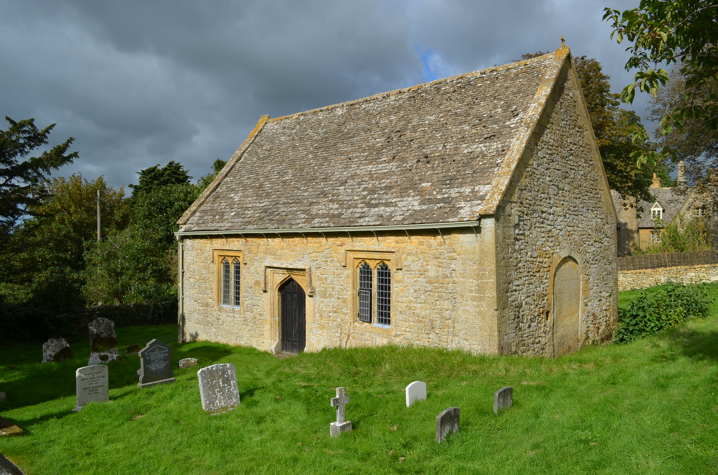
St Faith, Farmcote
St Faith, Farmcote is a chapel of ease in Farmcote, Gloucestershire, two miles west-north-west of Temple Guiting. It has been designated by English Heritage...

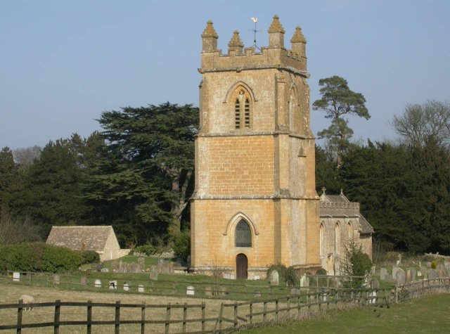
Church of St Mary, Temple Guiting
The Anglican Church of St Mary at Temple Guiting in the Cotswold District of Gloucestershire, England was built in the 12th century. It is a grade I listed...
Nearby Amenities
Located within 500m of 51.948642,-1.8881556Have you been to Cliff Plantation?
Leave your review of Cliff Plantation below (or comments, questions and feedback).