Apedale
Valley in Yorkshire Richmondshire
England
Apedale
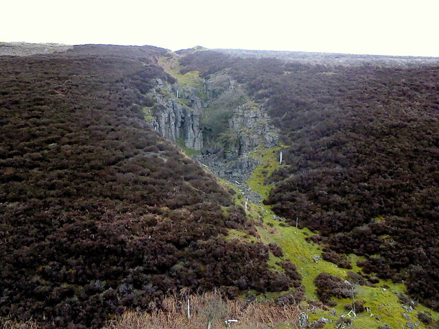
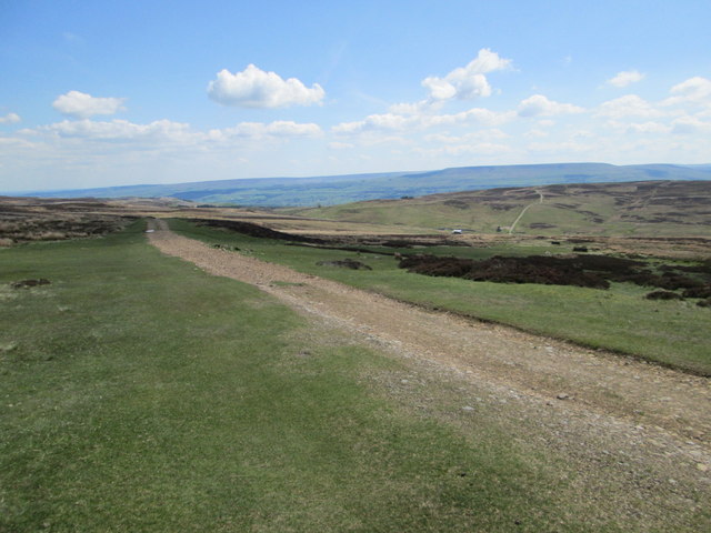
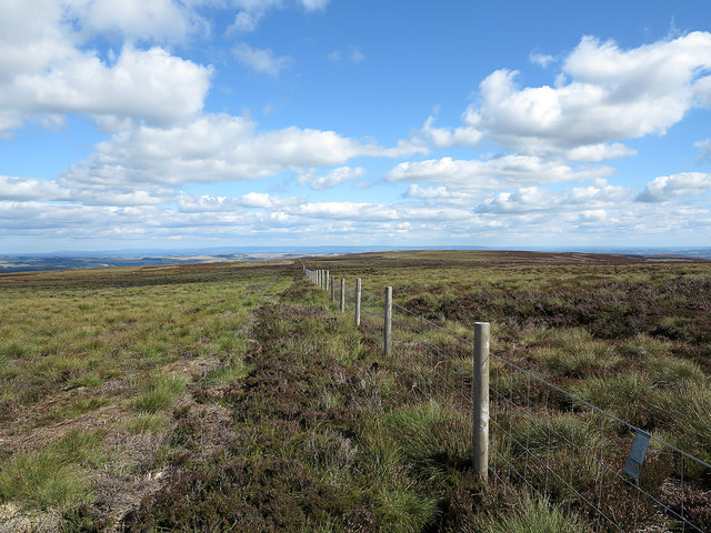
Apedale is a picturesque valley located in the county of Yorkshire, England. Situated in the heart of the Yorkshire Dales National Park, it is renowned for its stunning natural beauty and charming rural atmosphere. The valley is nestled between rolling hills and dotted with quaint villages, making it a popular destination for tourists and nature enthusiasts alike.
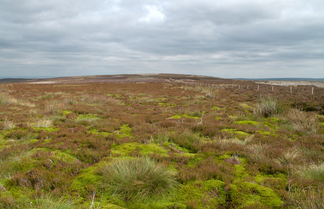
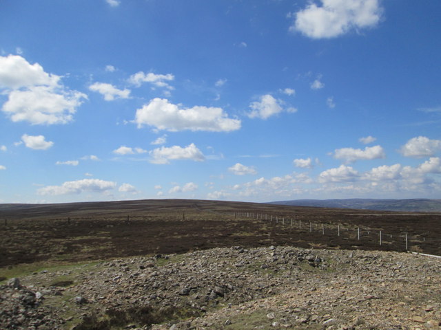
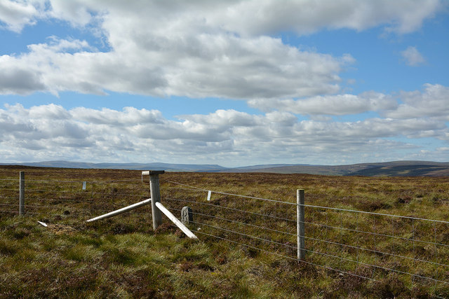
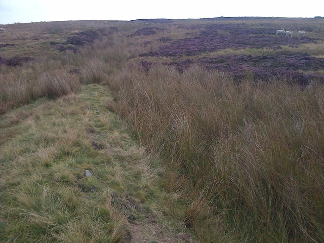
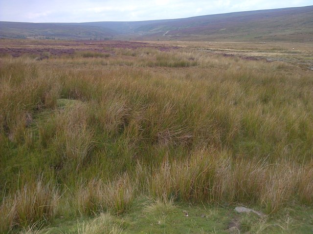
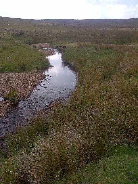
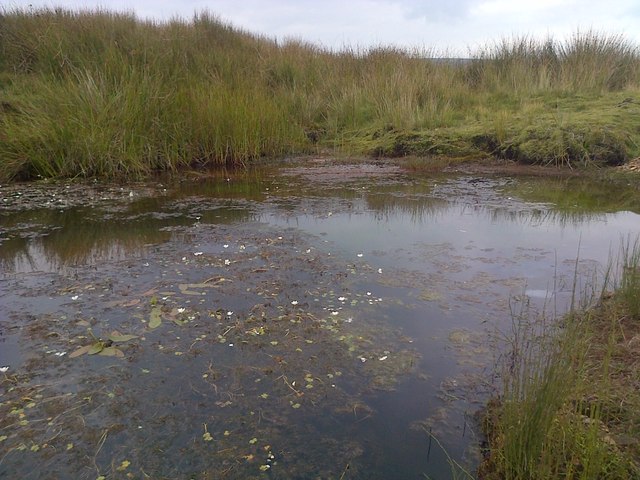
The landscape of Apedale is characterized by verdant meadows, lush green fields, and meandering streams that gracefully flow through the valley. The area is abundant in flora and fauna, with a diverse range of plant species and wildlife thriving in its ecosystem. Visitors can expect to encounter grazing sheep, cows, and occasionally horses, adding to the idyllic countryside ambiance.
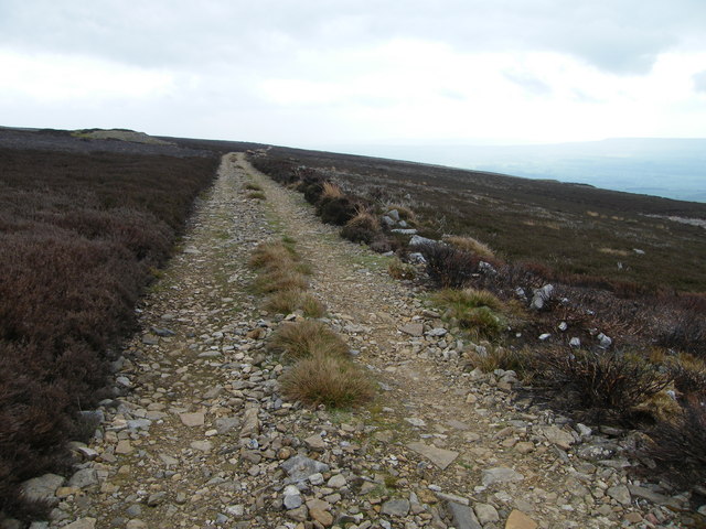
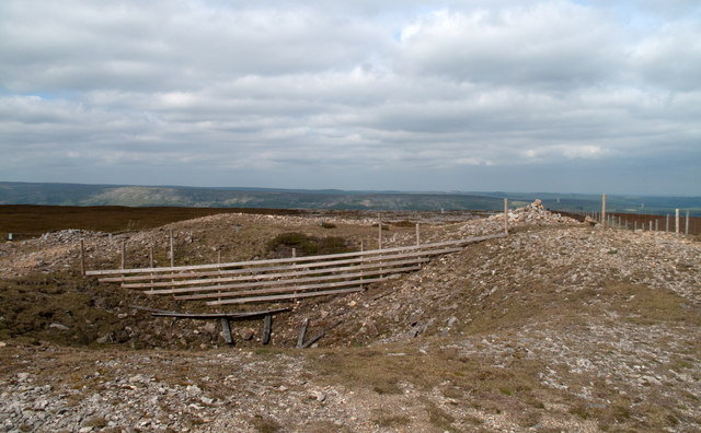
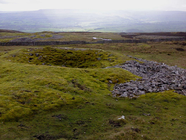
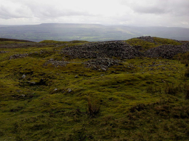
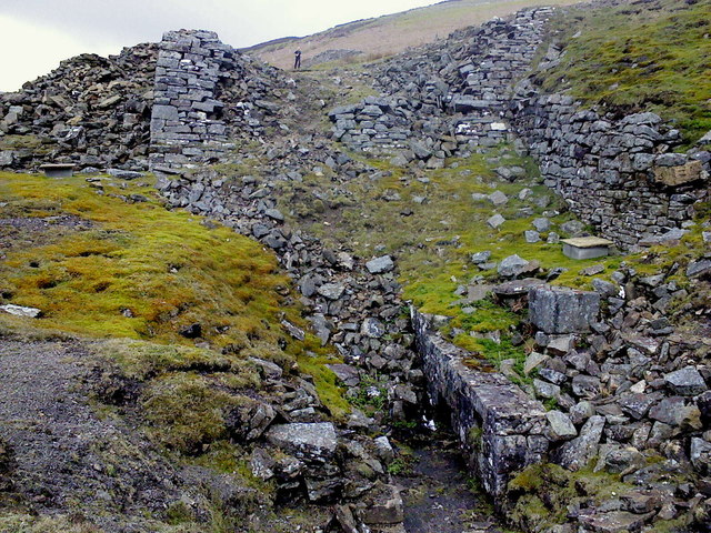
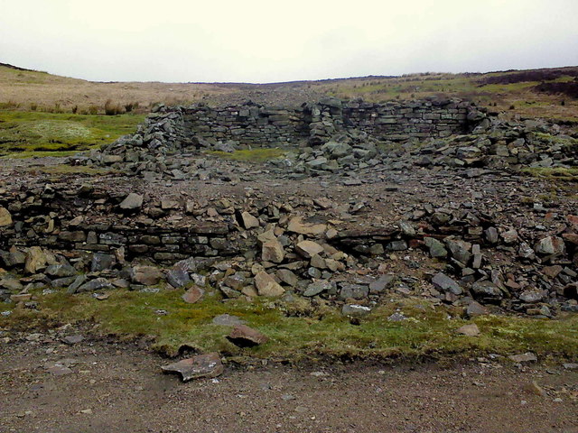
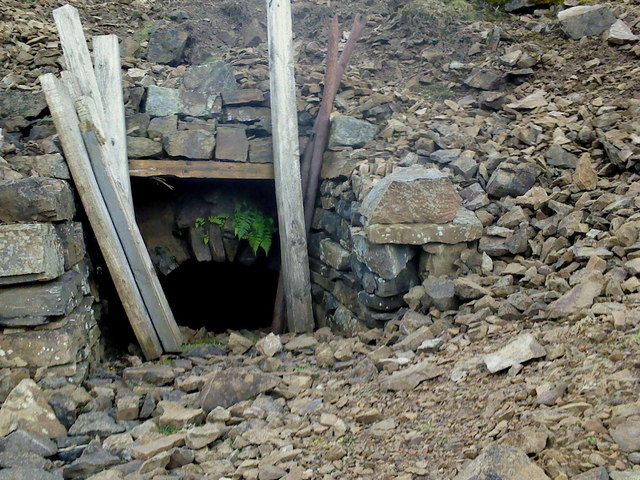
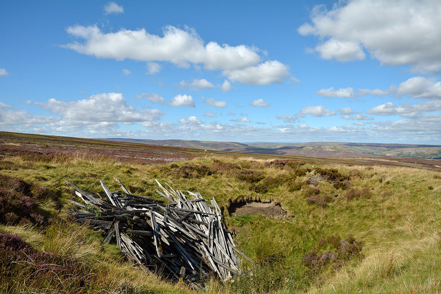
Within the valley, there are several walking trails and footpaths that allow visitors to explore the area and take in its breathtaking scenery. The trails vary in difficulty, catering to both casual walkers and experienced hikers. Along the routes, one can discover ancient stone walls, rustic farmhouses, and even remnants of historical mine workings, reminding visitors of the region's industrial past.
Apedale also offers a range of outdoor recreational activities, including fishing in its crystal-clear streams and rivers, as well as cycling along the quiet country lanes that crisscross the valley. Local establishments such as traditional pubs and tearooms provide the perfect opportunity to relax and indulge in some locally sourced cuisine, while taking in the panoramic views.
Overall, Apedale is a hidden gem in Yorkshire, offering a serene and picturesque escape from the hustle and bustle of everyday life. Its natural beauty, charming villages, and tranquil ambiance make it a must-visit destination for those seeking a truly authentic countryside experience.
If you have any feedback on the listing, please let us know in the comments section below.
Apedale Images
Images are sourced within 2km of 54.346744/-1.9751374 or Grid Reference SE0194. Thanks to Geograph Open Source API. All images are credited.
Apedale is located at Grid Ref: SE0194 (Lat: 54.346744, Lng: -1.9751374)
Division: North Riding
Administrative County: North Yorkshire
District: Richmondshire
Police Authority: North Yorkshire
What 3 Words
///ducks.hence.cautious. Near Leyburn, North Yorkshire
Nearby Locations
Related Wikis

Richmondshire
Richmondshire was a local government district of North Yorkshire, England, from 1974 to 2023. It covered a large northern area of the Yorkshire Dales including...

St Oswald's Church, Castle Bolton
St Oswald's Church, Castle Bolton is a Grade II* listed parish church in the Church of England: 106 located in Castle Bolton, North Yorkshire. == History... ==

Castle Bolton
Castle Bolton is a village in North Yorkshire, England. It is in Wensleydale, one of the Yorkshire Dales. The village takes its name from Bolton Castle...

Bolton Castle
Bolton Castle is a 14th-century castle located in Wensleydale, Yorkshire, England (grid reference SE03379183). The nearby village of Castle Bolton takes...

Maiden Castle, North Yorkshire
Maiden Castle is a settlement in Grinton, North Yorkshire (grid reference SE02189808) which probably dates from the Iron Age. It is listed as a Scheduled...

Grinton Smelt Mill
Grinton Smelt Mill (also known as How Mill) is a ruined lead mining and processing site on Cogden Moor, south of Grinton in Swaledale, North Yorkshire...
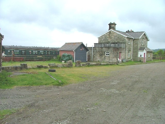
Redmire railway station
Redmire railway station is the current western terminus of the Wensleydale Railway and serves the village of Redmire in North Yorkshire, England. It is...
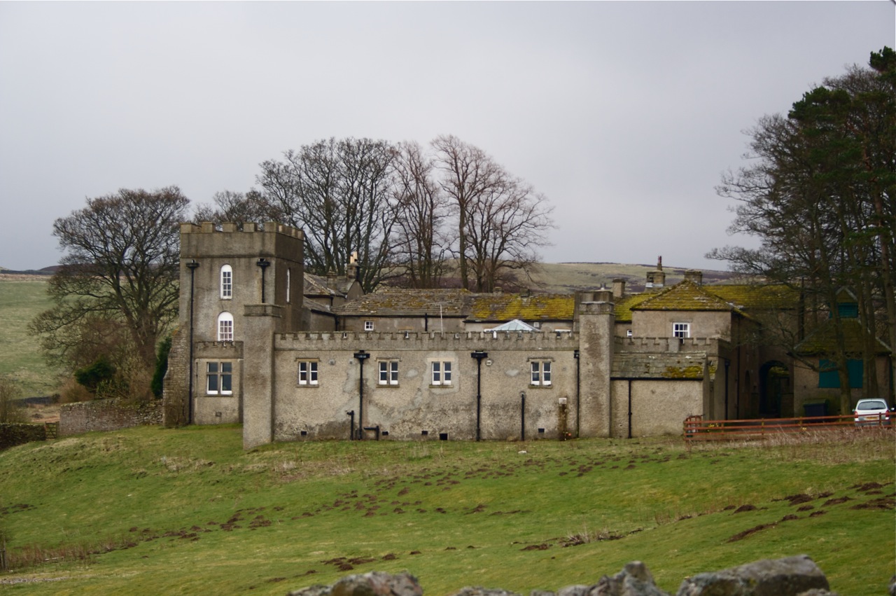
Grinton Lodge
Grinton Lodge is a 19th-century former shooting lodge that has been a youth hostel since 1948. A Grade II listed building, it is situated above the village...
Nearby Amenities
Located within 500m of 54.346744,-1.9751374Have you been to Apedale?
Leave your review of Apedale below (or comments, questions and feedback).