White Lee Clough
Valley in Yorkshire
England
White Lee Clough

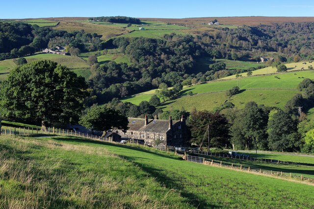
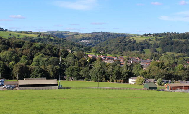
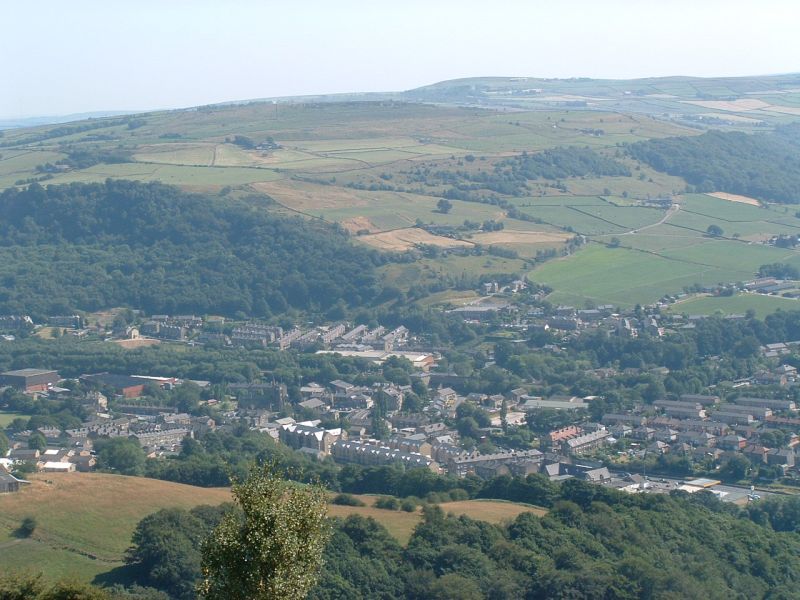
White Lee Clough is a picturesque valley located in Yorkshire, England. Nestled amidst the rugged beauty of the Yorkshire Dales National Park, this enchanting valley offers visitors a serene and untouched natural landscape.
The valley is named after the White Lee Clough stream that meanders through its heart. The stream originates from the nearby moorlands and cascades down the valley, creating small waterfalls and babbling brooks along its course. These water features, combined with the lush greenery of the surrounding hillsides, make White Lee Clough a haven for nature enthusiasts and photographers alike.
White Lee Clough is known for its diverse and abundant wildlife. Visitors may spot various species of birds, including peregrine falcons and red kites, soaring above the valley. The surrounding woodlands are home to deer, foxes, and rabbits, while the stream teems with trout and other fish.
The valley offers numerous walking trails, allowing visitors to explore its natural wonders at their own pace. Hikers can traverse the valley floor, passing by ancient stone walls and charming farmhouses that dot the landscape. Those seeking more challenging terrain can venture up the hillsides, offering breathtaking panoramic views of the valley below.
Despite its remote location, White Lee Clough is easily accessible, with nearby parking facilities and public transport links. The valley provides a tranquil and idyllic escape from the hustle and bustle of city life, offering visitors a chance to immerse themselves in the beauty of Yorkshire's rural charm.
If you have any feedback on the listing, please let us know in the comments section below.
White Lee Clough Images
Images are sourced within 2km of 53.734249/-1.9749961 or Grid Reference SE0126. Thanks to Geograph Open Source API. All images are credited.


White Lee Clough is located at Grid Ref: SE0126 (Lat: 53.734249, Lng: -1.9749961)
Division: West Riding
Unitary Authority: Calderdale
Police Authority: West Yorkshire
What 3 Words
///jetliner.crafts.lawfully. Near Mytholmroyd, West Yorkshire
Related Wikis
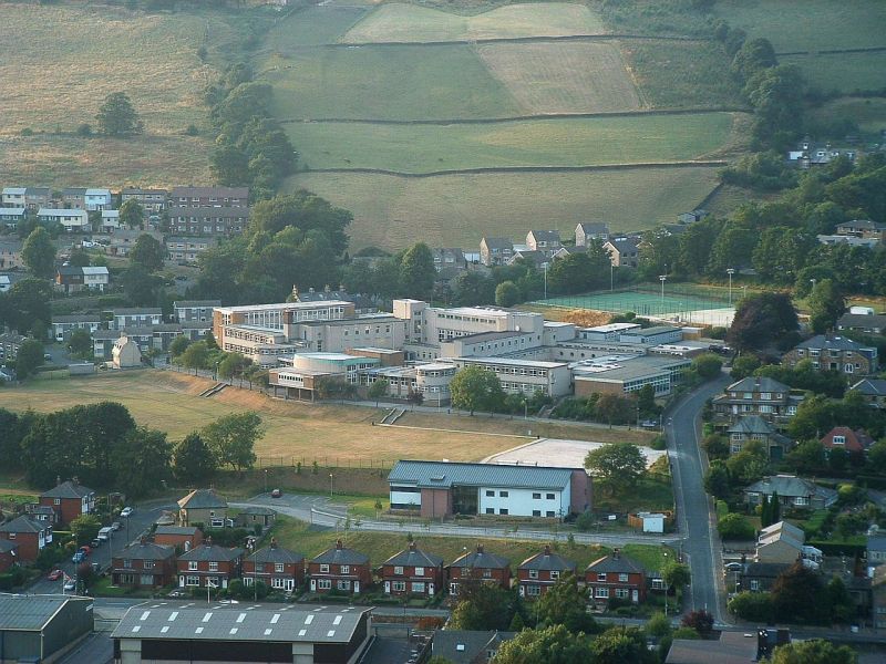
Calder High School
The Calder High School is a coeducational comprehensive school. It specialises in technology, with technology rooms. It is located in the village of Mytholmroyd...
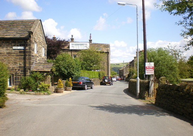
Mytholmroyd
Mytholmroyd (pronounced ) is a large village and former civil parish, now in the parish of Hebden Royd, in the Calderdale district, in West Yorkshire,...

Mytholmroyd railway station
Mytholmroyd railway station serves the communities of Mytholmroyd, Luddendenfoot, Midgley, Cragg Vale, and surrounding areas in West Yorkshire, England...

Scout Rock
Scout Rock (known locally as Scout Rocks), is a rock face, once a quarry, cut into a hill called Hathershelf Scout and is on the south side of the Upper...
Midgley
Midgley () is a hill-top village in Calderdale, West Yorkshire, England. It is situated approximately 12 miles (20 km) east from Burnley and 4 miles (6...

Calderdale
Calderdale is a metropolitan borough of West Yorkshire, England, which had a population of 211,439. It takes its name from the River Calder, and dale,...
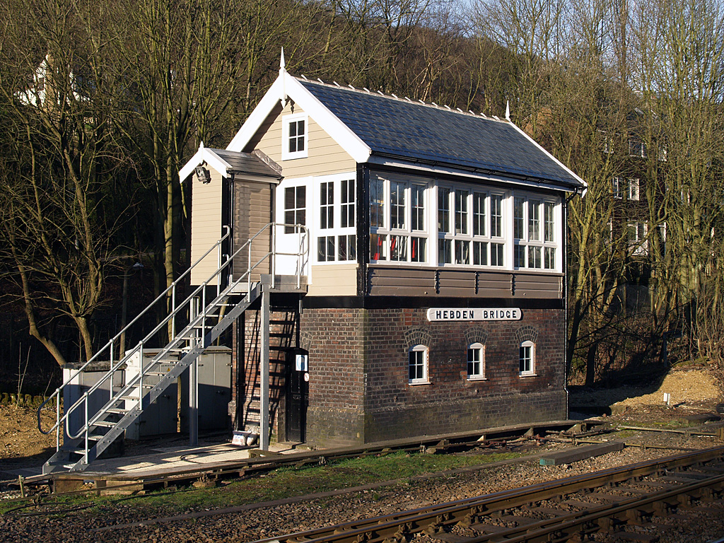
Hebden Bridge signal box
Hebden Bridge signal box is a Grade II listed former Lancashire and Yorkshire Railway signal box, located close to Hebden Bridge railway station in West...

Hebden Bridge railway station
Hebden Bridge railway station serves the town of Hebden Bridge in West Yorkshire, England. The station is on the Calder Valley Line, operated by Northern...
Nearby Amenities
Located within 500m of 53.734249,-1.9749961Have you been to White Lee Clough?
Leave your review of White Lee Clough below (or comments, questions and feedback).