Newsholme Dean

Valley in Yorkshire

England

Newsholme Dean

Valve chamber on Keighley Moor I'm presuming this is a valve chamber on a water main, most likely a raw water supply from Keighley Moor Reservoir. The reservoir was originally built by the Duke of Devonshire to supply water to mills down Newsholme Dean, so the original pipeline would have headed this way. But the reservoir now supplies water into public supply via Oldfield treatment works to the south-east (source: <span class="nowrap"><a title="https://www.keighleynews.co.uk/news/18905714.memory-lane-keighley-reservoir-answer-mills-drought-threat/" rel="nofollow ugc noopener" href="https://www.keighleynews.co.uk/news/18905714.memory-lane-keighley-reservoir-answer-mills-drought-threat/">Link</a><img style="margin-left:2px;" alt="External link" title="External link - shift click to open in new window" src="https://s1.geograph.org.uk/img/external.png" width="10" height="10"/></span> ). In which case, this original pipeline may be redundant.

A note on access: there is no public footpath through this field, but as the official route along the walled track was blocked by farming activities, the farmer (or his employee) gave me permission to divert through this field to regain access to the track further along.
Valve chamber on Keighley Moor Credit: Stephen Craven

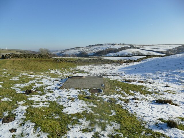
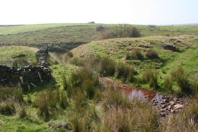
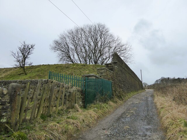
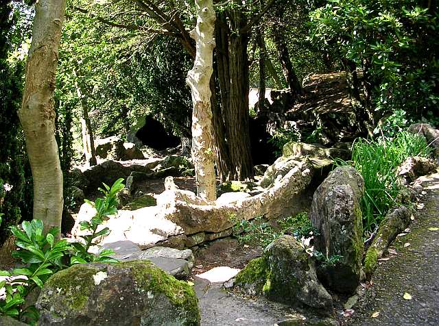
Newsholme Dean is a picturesque valley located in Yorkshire, England. The valley is characterized by its stunning natural beauty, with lush greenery, rolling hills, and picturesque streams running through it. It is a popular destination for hikers, nature enthusiasts, and photographers looking to explore the stunning landscape.

Newsholme Dean is home to a variety of wildlife, including birds, deer, and other small animals, making it a haven for nature lovers. The valley is also dotted with charming villages and historic buildings, adding to its charm and appeal.

The tranquil atmosphere of Newsholme Dean makes it a perfect place for relaxation and rejuvenation. Visitors can enjoy leisurely walks along the scenic trails, have a picnic by the river, or simply sit back and take in the breathtaking views.

Overall, Newsholme Dean is a hidden gem in Yorkshire, offering visitors a peaceful escape from the hustle and bustle of everyday life. Whether you're looking for a quiet retreat or an outdoor adventure, this valley has something to offer for everyone.

If you have any feedback on the listing, please let us know in the comments section below.

Newsholme Dean Images

Images are sourced within 2km of 53.860539/-1.9759556 or Grid Reference SE0140. Thanks to Geograph Open Source API. All images are credited.

Valve chamber on Keighley Moor I'm presuming this is a valve chamber on a water main, most likely a raw water supply from Keighley Moor Reservoir. The reservoir was originally built by the Duke of Devonshire to supply water to mills down Newsholme Dean, so the original pipeline would have headed this way. But the reservoir now supplies water into public supply via Oldfield treatment works to the south-east (source: <span class="nowrap"><a title="https://www.keighleynews.co.uk/news/18905714.memory-lane-keighley-reservoir-answer-mills-drought-threat/" rel="nofollow ugc noopener" href="https://www.keighleynews.co.uk/news/18905714.memory-lane-keighley-reservoir-answer-mills-drought-threat/">Link</a><img style="margin-left:2px;" alt="External link" title="External link - shift click to open in new window" src="https://s1.geograph.org.uk/img/external.png" width="10" height="10"/></span> ). In which case, this original pipeline may be redundant.

A note on access: there is no public footpath through this field, but as the official route along the walled track was blocked by farming activities, the farmer (or his employee) gave me permission to divert through this field to regain access to the track further along.
Valve chamber on Keighley Moor
I'm presuming this is a valve chamber on a water main, most likely a raw water supply from Keighley Moor Reservoir. The reservoir was originally built by the Duke of Devonshire to supply water to mills down Newsholme Dean, so the original pipeline would have headed this way. But the reservoir now supplies water into public supply via Oldfield treatment works to the south-east (source: LinkExternal link ). In which case, this original pipeline may be redundant. A note on access: there is no public footpath through this field, but as the official route along the walled track was blocked by farming activities, the farmer (or his employee) gave me permission to divert through this field to regain access to the track further along.
Cinder Sike and dry stone walls near Oakworth, Yorkshire This photograph was taken only a couple of metres or so west of the 2 degree meridien which separates SD and SE.  The word SIKE is a Yorkshire term meaning 'streamlet'.
Cinder Sike and dry stone walls near Oakworth, Yorkshire
This photograph was taken only a couple of metres or so west of the 2 degree meridien which separates SD and SE. The word SIKE is a Yorkshire term meaning 'streamlet'.
Fencing wire and sheep, Higher Intake Looking up to Higher Intake Rough from the track below Higher Intake Farm.
Fencing wire and sheep, Higher Intake
Looking up to Higher Intake Rough from the track below Higher Intake Farm.
The track down to Morkin Bridge The track is in good condition thanks to the water authority.
The track down to Morkin Bridge
The track is in good condition thanks to the water authority.
Winter tree, Millennium Way One of only two trees along the access road to Keighley Moor reservoir. Seen from the east, with Higher Intake Farm in the distance.
Winter tree, Millennium Way
One of only two trees along the access road to Keighley Moor reservoir. Seen from the east, with Higher Intake Farm in the distance.
Approaching Higher Intake from the north Climbing up the access road to Keighley Moor reservoir.
Approaching Higher Intake from the north
Climbing up the access road to Keighley Moor reservoir.
The Millennium Way at the 304 metre spot height Looking north-west down the access track from Keighley Moor reservoir.
The Millennium Way at the 304 metre spot height
Looking north-west down the access track from Keighley Moor reservoir.
Wall crossing Aspar Hill North-west of Higher Intake.
Wall crossing Aspar Hill
North-west of Higher Intake.
Winter tree from the south-west One of only two trees alongside the access track from Keighley Moor reservoir.
Winter tree from the south-west
One of only two trees alongside the access track from Keighley Moor reservoir.
Lone moorland tree
Lone moorland tree
Oakworth Cricket Ground View from Wide Lane
Oakworth Cricket Ground
View from Wide Lane
White Lane At the junction to Spring Laithe, with a fearsome drop off the road into the gulley alongside.
White Lane
At the junction to Spring Laithe, with a fearsome drop off the road into the gulley alongside.
The hamlet of Newsholme View from Slack Lane near Oakworth Cemetery
The hamlet of Newsholme
View from Slack Lane near Oakworth Cemetery
White Lane On the rough track heading towards the surfaced part of the lane which serves the farm at Tewitt Hall.
White Lane
On the rough track heading towards the surfaced part of the lane which serves the farm at Tewitt Hall.
White Lane and Turnshaw Road junction It is actually a crossroads with White Lane going downhill behind the camera and upwards in this view. Turnshaw Road is going left behind the camera and ahead centrally in this view. There appears to be a rough shaped large stone at the junction.
White Lane and Turnshaw Road junction
It is actually a crossroads with White Lane going downhill behind the camera and upwards in this view. Turnshaw Road is going left behind the camera and ahead centrally in this view. There appears to be a rough shaped large stone at the junction.
Ruin by Turnshaw Road Old OS maps do not name this substantial ruined building so perhaps it was never residential, although there are window openings.
Ruin by Turnshaw Road
Old OS maps do not name this substantial ruined building so perhaps it was never residential, although there are window openings.
Reservoir retaining wall by Grey Scar Road A massive wall for a small reservoir which I suspect is now redundant. There is a covered service reservoir further along this track which becomes Turnshaw Road.
Reservoir retaining wall by Grey Scar Road
A massive wall for a small reservoir which I suspect is now redundant. There is a covered service reservoir further along this track which becomes Turnshaw Road.
Fields north of Clough Hey Farm On the south bank of Morkin Beck.
Fields north of Clough Hey Farm
On the south bank of Morkin Beck.
Show me another place!

Newsholme Dean is located at Grid Ref: SE0140 (Lat: 53.860539, Lng: -1.9759556)

Division: West Riding

Unitary Authority: Bradford

Police Authority: West Yorkshire

What 3 Words

///joined.motivations.named. Near Steeton, West Yorkshire

Nearby Locations

Newsholme Dean Cat Clough

Related Wikis

Laycock, West Yorkshire

Laycock is a small village in the Bradford District of West Yorkshire that overlooks the hamlet of Goose Eye. The village is 1.9 miles (3 km) west of the...

Oakworth

Oakworth is a village in West Yorkshire, England, near Keighley, by the River Worth. The name "Oakworth" indicates that the village was first established...

Scholes, Bradford

Scholes is a hamlet on Oldfield Lane and Hob Cote Lane, in the City of Bradford district, in the county of West Yorkshire, England. Nearby settlements...

Holden Park

Holden Park is the only park in the village of Oakworth, West Yorkshire, England. The park is also known locally as Oakworth Park. == History == The park...

Nearby Amenities

Located within 500m of 53.860539,-1.9759556
Waterway: weir
Lat/Long: 53.859846/-1.9715466
Telephone
HE Ref: 1464540
Booth: K1
Covered: booth
Listed Status: Grade II
Man Made: telephone_box
Note: telephone aparatus has been removed, made in 1922 the telephone box had been repurposed as water level monitoring station and is now in state of disrepair
Lat/Long: 53.8599019/-1.9715363
Generator Method: photovoltaic
Generator Output Electricity: yes
Generator Source: solar
Generator Type: solar_photovoltaic_panel
Power: generator
Lat/Long: 53.8634152/-1.9713093
The data included in this document is from www.openstreetmap.org. The data is made available under ODbL.

Have you been to Newsholme Dean?

Leave your review of Newsholme Dean below (or comments, questions and feedback).