Browside Clough

Valley in Cheshire

England

Browside Clough

Field entrance off Start Lane This point gives a view over the Todd Brook valley, with Taxal Edge climbing behind.
Field entrance off Start Lane Credit: Bill Boaden

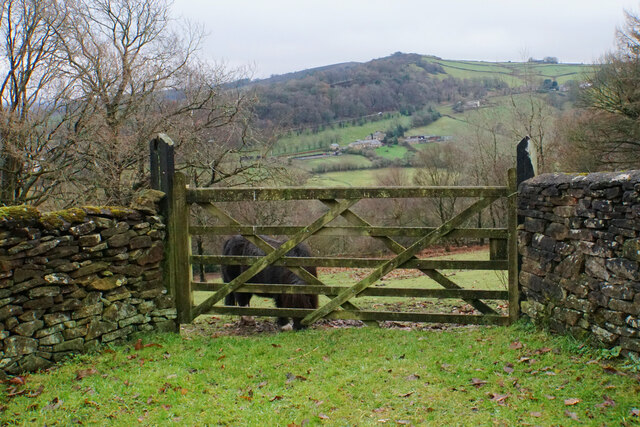
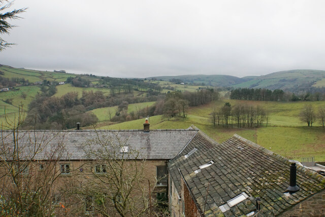
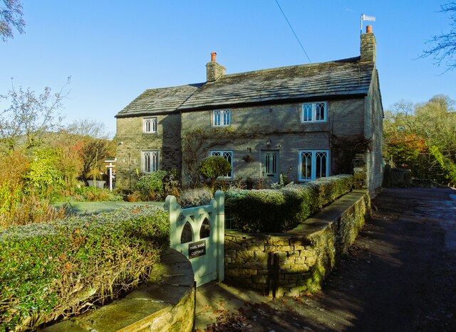
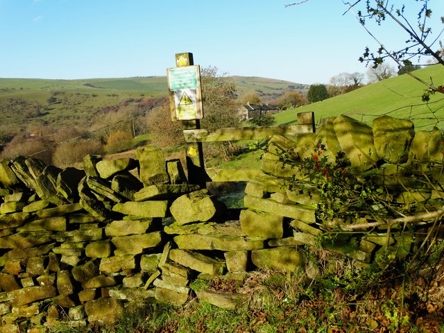
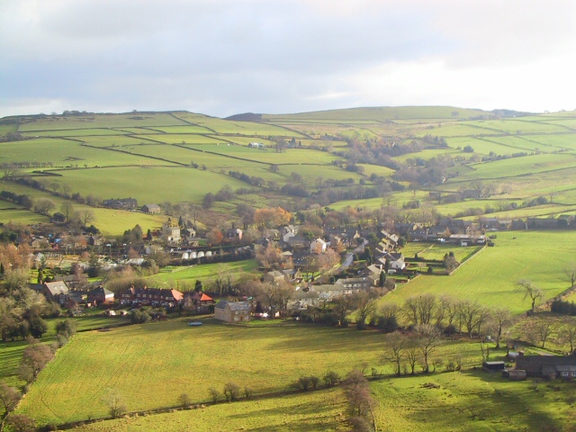
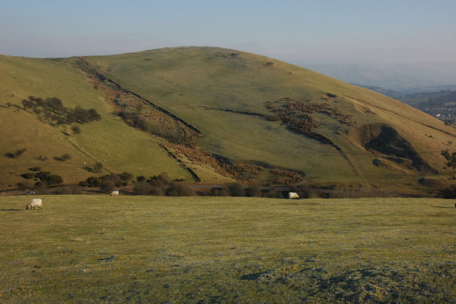
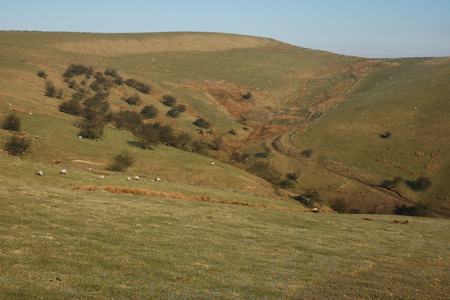
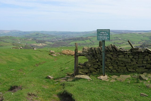
Browside Clough is a picturesque valley located in Cheshire, England. Nestled within the rolling hills of the region, this tranquil spot offers stunning natural beauty and a sense of serenity for visitors.

The valley is characterized by its lush greenery, with dense woodlands and meandering streams that create a peaceful atmosphere. Browside Clough is renowned for its diverse wildlife, attracting nature enthusiasts and birdwatchers alike. The valley is home to a variety of bird species, including kingfishers, herons, and woodpeckers, making it a haven for bird lovers.

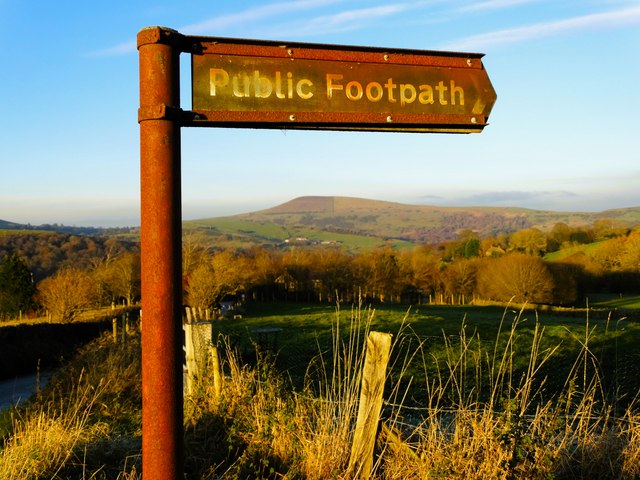
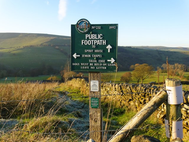
In addition to its natural beauty, Browside Clough also boasts several walking trails that allow visitors to explore the area. These well-maintained paths wind through the valley, offering breathtaking views of the surrounding countryside. The trails cater to all levels of fitness, providing options for both leisurely strolls and more challenging hikes.

Browside Clough is a popular destination for outdoor activities such as picnicking, photography, and nature walks. The valley's idyllic setting provides the perfect backdrop for a relaxing day out with family and friends. The peacefulness of the area also makes it an ideal spot for those seeking solitude and a break from the hustle and bustle of city life.

Overall, Browside Clough is a hidden gem in Cheshire, offering a slice of untouched natural beauty. With its stunning landscapes, diverse wildlife, and peaceful ambiance, it is a place where visitors can truly immerse themselves in the tranquility of nature.

If you have any feedback on the listing, please let us know in the comments section below.

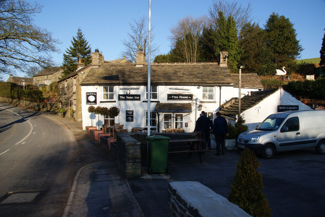
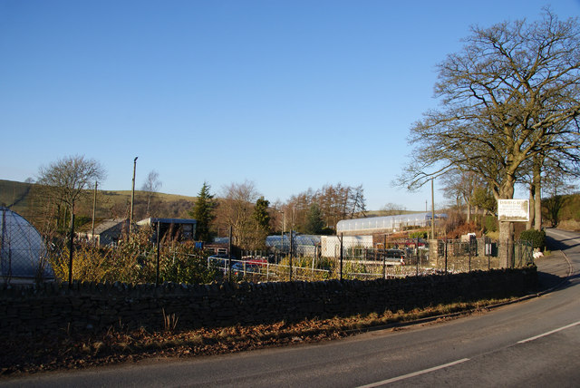
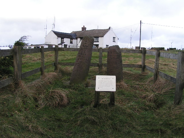
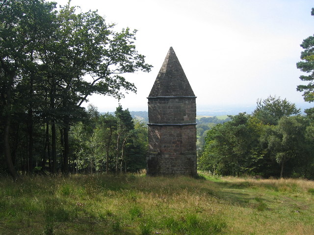
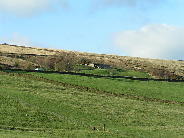
Browside Clough Images

Images are sourced within 2km of 53.328091/-2.0283078 or Grid Reference SJ9881. Thanks to Geograph Open Source API. All images are credited.

Field entrance off Start Lane This point gives a view over the Todd Brook valley, with Taxal Edge climbing behind.
Field entrance off Start Lane
This point gives a view over the Todd Brook valley, with Taxal Edge climbing behind.
Rooftops by Start Lane From here there is a view across the Todd Brook valley in the direction of Kettleshulme.
Rooftops by Start Lane
From here there is a view across the Todd Brook valley in the direction of Kettleshulme.
Marl Bank Cottage, Kettleshulme
Path to Stocksbank Farm, Kettleshulme
Rusty footpath sign by Side End Lane
Footpath sign above Spout House Farm South of Kettleshulme
Footpath sign above Spout House Farm
South of Kettleshulme
Looking Down on Kettleshulme Not an airborne camera shot, but this view from the slopes of Reed Hill by Higher Lane could give that impression. Judging by the contour lines on the O/S map, the viewpoint is some 150 metres higher than the view. Looking ESE.
Looking Down on Kettleshulme
Not an airborne camera shot, but this view from the slopes of Reed Hill by Higher Lane could give that impression. Judging by the contour lines on the O/S map, the viewpoint is some 150 metres higher than the view. Looking ESE.
Hilltop Viewfinder On the unnamed summit south of Sponds hill: note the mountain bikes on the Gritstone Trail.
Hilltop Viewfinder
On the unnamed summit south of Sponds hill: note the mountain bikes on the Gritstone Trail.
The B5470 at Kettleshulme
Back Sponds, near Kettleshulme Back Sponds viewed from Bakestonedale Moor Road. The B5470 Macclesfield to Whaley Bridge road can be seen at the bottome of the hillside.
Back Sponds, near Kettleshulme
Back Sponds viewed from Bakestonedale Moor Road. The B5470 Macclesfield to Whaley Bridge road can be seen at the bottome of the hillside.
Sponds Hill Sponds Hill viewed from Bakestonedale Moor Road.
Sponds Hill
Sponds Hill viewed from Bakestonedale Moor Road.
Spout House Farm, Kettleshulme
The Swan Inn, Kettleshulme Another excellent local pub, serving good beers. The best today was Cascade from Boggart Brewery.
The Swan Inn, Kettleshulme
Another excellent local pub, serving good beers. The best today was Cascade from Boggart Brewery.
David G Ross Nursery in Kettleshulme
Footpath sign on Sponds Hill Path descending from the ridge track on Sponds Hill. These old signs are a familiar sight in The Peak and are still maintained. When they were erected, access to land was bitterly resisted. Gritstone sheep graze  in front of a view to Whaley Bridge.
Footpath sign on Sponds Hill
Path descending from the ridge track on Sponds Hill. These old signs are a familiar sight in The Peak and are still maintained. When they were erected, access to land was bitterly resisted. Gritstone sheep graze in front of a view to Whaley Bridge.
The Bowstones This double cross ("not later than the 10th century" according to English Heritage) is a Scheduled Ancient Monument southwest of Lyme Park - see <span class="nowrap"><a title="https://historicengland.org.uk/listing/the-list/list-entry/1011116" rel="nofollow ugc noopener" href="https://historicengland.org.uk/listing/the-list/list-entry/1011116">Link</a><img style="margin-left:2px;" alt="External link" title="External link - shift click to open in new window" src="https://s1.geograph.org.uk/img/external.png" width="10" height="10"/></span>  for more information. Bowstonegate is to the rear.
The Bowstones
This double cross ("not later than the 10th century" according to English Heritage) is a Scheduled Ancient Monument southwest of Lyme Park - see LinkExternal link for more information. Bowstonegate is to the rear.
The Lantern It is said that if the owner of Lyme Park Estate could not see The Lantern from his breakfast table in Lyme Hall then the weather was not suitable for hunting.
The Lantern
It is said that if the owner of Lyme Park Estate could not see The Lantern from his breakfast table in Lyme Hall then the weather was not suitable for hunting.
Longside Reservoir A covered reservoir beside Whaley Lane; this picture is taken from Diglee SJ997827.
Longside Reservoir
A covered reservoir beside Whaley Lane; this picture is taken from Diglee SJ997827.
Show me another place!

Browside Clough is located at Grid Ref: SJ9881 (Lat: 53.328091, Lng: -2.0283078)

Unitary Authority: Cheshire East

Police Authority: Cheshire

What 3 Words

///squaring.treating.mermaids. Near Whaley Bridge, Derbyshire

Related Wikis

Bowstones

The Bowstones are a pair of Anglian cross shafts in Cheshire, England. Situated beside the old ridgeway between Disley and Macclesfield, overlooking Lyme...
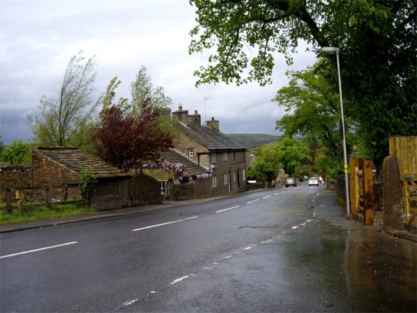
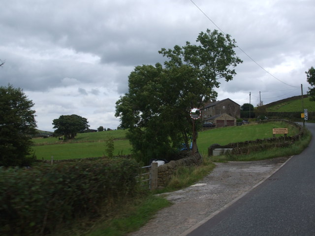
Kettleshulme

Kettleshulme (Old Norse Ketil's island or Ketil's watermeadow) is a village and former civil parish, now in the parish of Kettleshulme and Lyme Handley...

Lyme Park

Lyme Park is a large estate south of Disley, Cheshire, England, managed by the National Trust and consisting of a mansion house surrounded by formal gardens...

Lyme Handley

Lyme Handley, sometimes known as Lyme, is a former civil parish, now in the parish of Kettleshulme and Lyme Handley, in between Disley and Stockport, in...

Nearby Amenities

Located within 500m of 53.328091,-2.0283078
Murder Stone
HE Ref: 1013479;1232106
Archaeological Site: megalith
Historic: archaeological_site
Listed Status: Grade II;scheduled monument
Megalith Type: menhir
Wikidata: Q17676715
Lat/Long: 53.3266665/-2.024657
Barrier: kissing_gate
Material: metal
Lat/Long: 53.3309436/-2.0247527
Barrier: kissing_gate
Material: metal
Lat/Long: 53.3257586/-2.0235308
The data included in this document is from www.openstreetmap.org. The data is made available under ODbL.

Have you been to Browside Clough?

Leave your review of Browside Clough below (or comments, questions and feedback).