Foxhole Bottom
Valley in Wiltshire
England
Foxhole Bottom

Foxhole Bottom is a small valley located in the county of Wiltshire, England. Situated near the village of Box, this picturesque valley is known for its natural beauty and tranquil atmosphere. The valley is surrounded by rolling hills and lush green meadows, creating a stunning backdrop for visitors.
With a length of approximately 1.5 kilometers, Foxhole Bottom is a relatively small valley, but it offers a range of outdoor activities and attractions. The valley is home to a diverse range of flora and fauna, including wildflowers, birds, and butterflies, making it a popular spot for nature lovers and photographers.
One of the main features of Foxhole Bottom is the river that runs through it. The river is a tributary of the Bybrook River and adds to the valley's charm. Visitors can enjoy a leisurely stroll along the riverbank or even try their hand at fishing in the clear waters.
The valley also offers several walking trails, allowing visitors to explore the surrounding countryside and enjoy panoramic views of the valley. These trails are suitable for all levels of fitness and offer a chance to discover the local wildlife and plant life.
Additionally, Foxhole Bottom is located near several historic sites and attractions, including the famous Roman Baths in the nearby city of Bath. This makes it an ideal destination for history enthusiasts who can combine a visit to the valley with exploring the rich heritage of the region.
Overall, Foxhole Bottom in Wiltshire is a hidden gem that showcases the natural beauty of the English countryside, offering a peaceful and idyllic escape from the bustling city life.
If you have any feedback on the listing, please let us know in the comments section below.
Foxhole Bottom Images
Images are sourced within 2km of 51.153197/-2.0263437 or Grid Reference ST9839. Thanks to Geograph Open Source API. All images are credited.


Foxhole Bottom is located at Grid Ref: ST9839 (Lat: 51.153197, Lng: -2.0263437)
Unitary Authority: Wiltshire
Police Authority: Wiltshire
What 3 Words
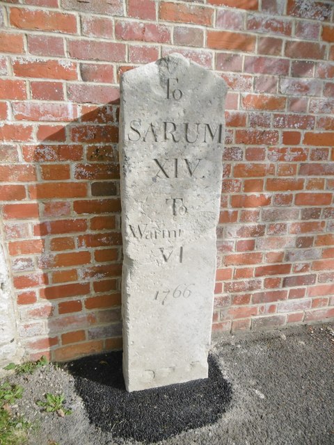
///gave.invent.stiffly. Near Stockton, Wiltshire
Nearby Locations
Related Wikis
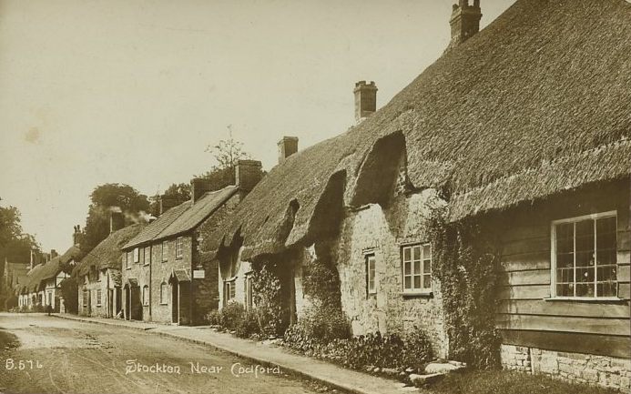
Stockton, Wiltshire
Stockton is a small village and civil parish in the Wylye Valley in Wiltshire, England, about 8 miles (13 km) southeast of Warminster. The parish includes...

Starveall and Stony Down
Starveall and Stony Down is a 22.5 hectare biological Site of Special Scientific Interest in the parishes of Codford and Wylye, Wiltshire, England, notified...
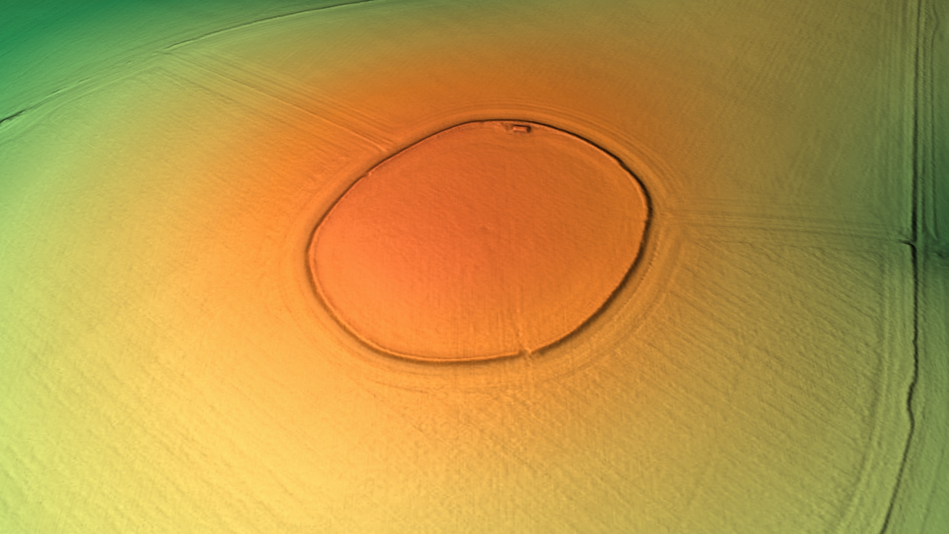
Codford Circle
Codford Circle, also known as Wilsbury Ring, Woldsbury, and possibly Oldbury Camp, is a neolithic hill top enclosure or possible hillfort located on the...
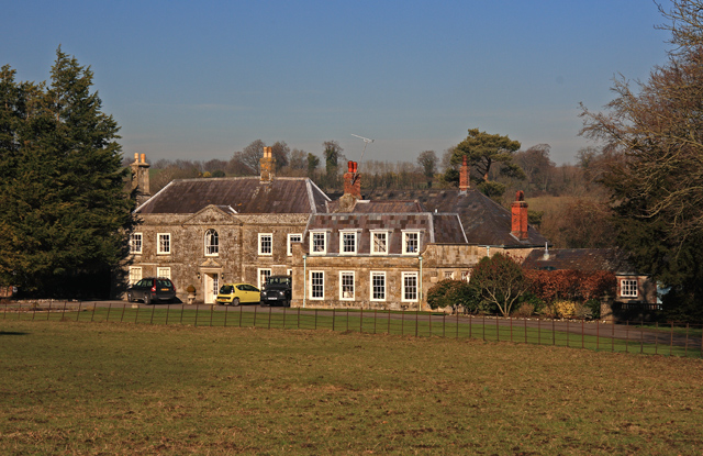
Bapton
Bapton is a hamlet in Wiltshire, England, in the civil parish of Stockton. It lies south of the A36 and the River Wylye, on the minor road which follows...
Related Videos


Nostalgia Vintage Weekend, Wiltshire UK - 05
A trip to the wonderful Vintage Nostalgia weekend in rural Wiltshire, a wonderful weekend of fun, relaxing laid-back music and ...

Nostalgia Vintage Weekend, Wiltshire UK - 04
A trip to the wonderful Vintage Nostalgia weekend in rural Wiltshire, a wonderful weekend of fun, relaxing laid-back music and ...

Nostalgia Vintage Weekend, Wiltshire UK - 03
A trip to the wonderful Vintage Nostalgia weekend in rural Wiltshire, a wonderful weekend of fun, relaxing laid-back music and ...
Nearby Amenities
Located within 500m of 51.153197,-2.0263437Have you been to Foxhole Bottom?
Leave your review of Foxhole Bottom below (or comments, questions and feedback).