Seacombe Bottom

Valley in Dorset

England

Seacombe Bottom

South West Coast Path South West Coast Path nearing Dancing Ledge
South West Coast Path Credit: Shaun Ferguson

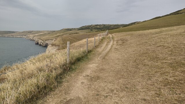
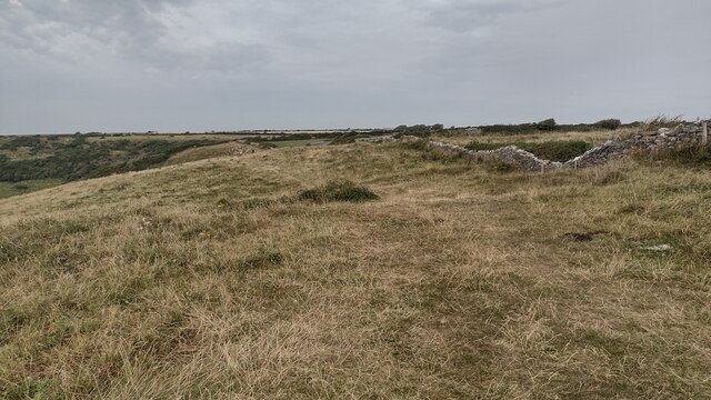
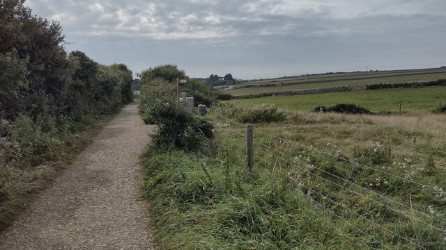
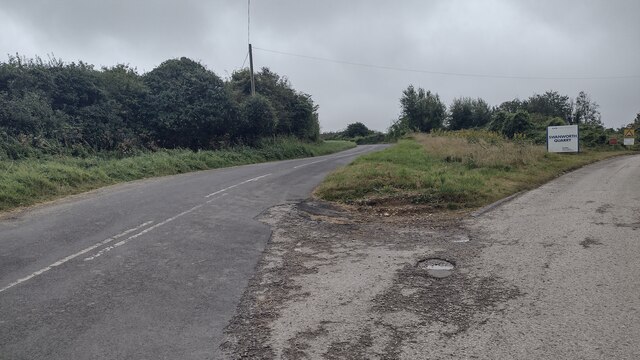
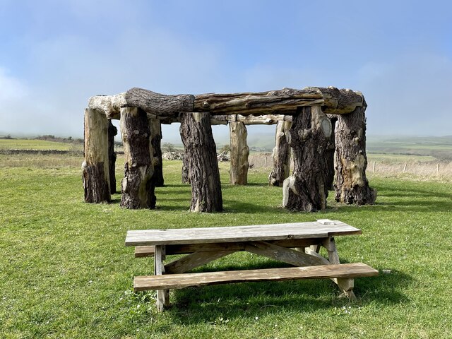
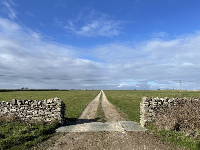
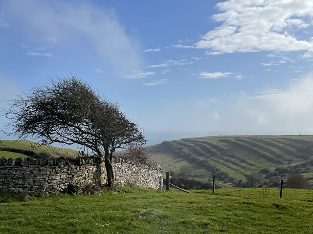
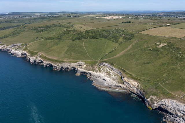
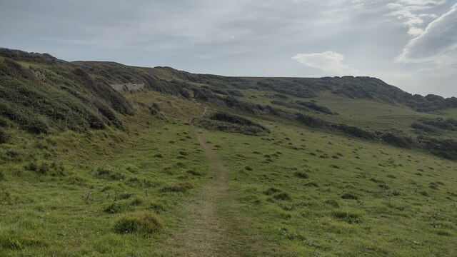
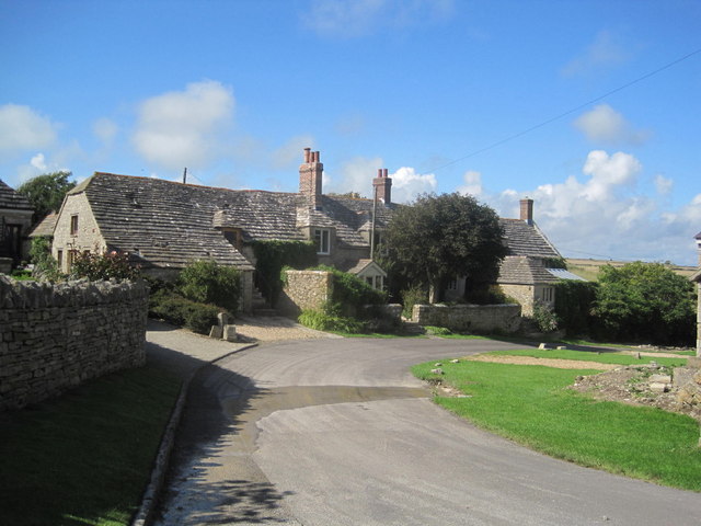
Seacombe Bottom is a picturesque valley located in the county of Dorset, England. Nestled between the rolling hills of the Dorset countryside, Seacombe Bottom is a tranquil and secluded spot that is perfect for nature lovers and outdoor enthusiasts.

The valley is home to a diverse range of wildlife, including birds, butterflies, and small mammals, making it a popular destination for birdwatching and wildlife spotting. Visitors to Seacombe Bottom can also enjoy hiking and walking along the various trails that wind through the valley, offering stunning views of the surrounding countryside.

The valley is characterized by its lush greenery, with a mix of grassy meadows, woodlands, and babbling brooks. The peaceful atmosphere of Seacombe Bottom makes it an ideal place for a relaxing day out in nature, away from the hustle and bustle of city life.

Overall, Seacombe Bottom is a hidden gem in Dorset, offering visitors a chance to immerse themselves in the beauty of the natural world and experience the tranquility of the English countryside.

If you have any feedback on the listing, please let us know in the comments section below.

Seacombe Bottom Images

Images are sourced within 2km of 50.592905/-2.0267189 or Grid Reference SY9877. Thanks to Geograph Open Source API. All images are credited.

South West Coast Path South West Coast Path nearing Dancing Ledge
South West Coast Path
South West Coast Path nearing Dancing Ledge
Path following the Wall Path following the wall above Dancing Ledge
Path following the Wall
Path following the wall above Dancing Ledge
Path and drive down to St Aldhelm's Path and drive down to St Aldhelm's with the Chapel and Coastwatch station on the far horizon
Path and drive down to St Aldhelm's
Path and drive down to St Aldhelm's with the Chapel and Coastwatch station on the far horizon
Village Pond Village Pond and Green Worth Matravers
Village Pond
Village Pond and Green Worth Matravers
Keates Quarry Keates Quarry dinosaur footprints
Keates Quarry
Keates Quarry dinosaur footprints
Priest's Way Priest's Way passing the entrance to Keates Quarry dinosaur footprints
Priest's Way
Priest's Way passing the entrance to Keates Quarry dinosaur footprints
Kingston Lane passing Swanworth Quarry Kingston Lane passing Swanworth Quarry heading to Worth Matravers
Kingston Lane passing Swanworth Quarry
Kingston Lane passing Swanworth Quarry heading to Worth Matravers
Woodhenge, Worth Matravers
The pool at Dancing Ledge Blasted out of the rock after WW1 for local schoolchildren, the natural swimming pool fills at high tide.
The pool at Dancing Ledge
Blasted out of the rock after WW1 for local schoolchildren, the natural swimming pool fills at high tide.
Track off the Priest's Way
Seacombe Bottom A view down to the sea, showing the strip lynchets on the far side of the hill.
Seacombe Bottom
A view down to the sea, showing the strip lynchets on the far side of the hill.
Dancing Ledge
Dancing Ledge
Track across the Field Track across the field to join the path to Langton Matravers at the gap in wall
Track across the Field
Track across the field to join the path to Langton Matravers at the gap in wall
Track to Car Park and Renscombe Farm
Renscombe Farm Looks like a farm conversion for holiday cottages.
Renscombe Farm
Looks like a farm conversion for holiday cottages.
St Aldhelm's Head Quarry
Track into St Aldhelm's Head Quarry Bridleway to the coast on the left
Track into St Aldhelm's Head Quarry
Bridleway to the coast on the left
Coastal View from Coastal Path
Show me another place!

Seacombe Bottom is located at Grid Ref: SY9877 (Lat: 50.592905, Lng: -2.0267189)

Unitary Authority: Dorset

Police Authority: Dorset

What 3 Words

///dealings.wobbling.merge. Near Swanage, Dorset

Nearby Locations

Purbeck Seacombe Bottom

Related Wikis

Halsewell (East Indiaman)

The Halsewell was an East Indiaman that was wrecked on 6 January 1786 at the start of a voyage from London to Madras. She lost her masts in a violent...

Square and Compass, Worth Matravers

The Square and Compass is a Grade II listed public house in Worth Matravers, Dorset. Built in the 18th century as a pair of cottages before becoming a...

Worth Matravers

Worth Matravers () is a village and civil parish in the English county of Dorset. The village is situated on the cliffs west of Swanage. It comprises limestone...
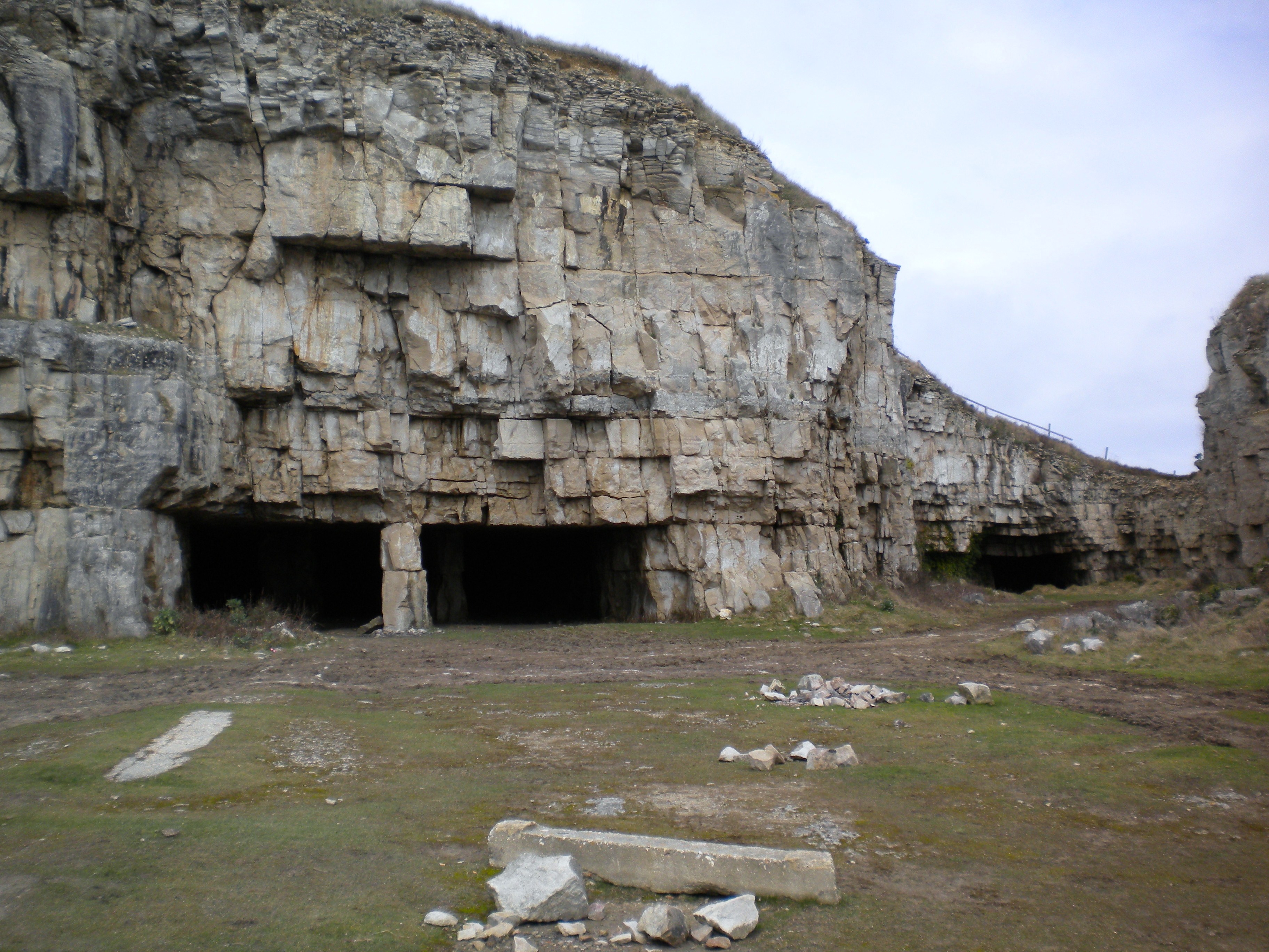
Winspit

Winspit is a disused quarry on the cliffs near Worth Matravers in the Isle of Purbeck, Dorset, England. To the west and east are the hills of West Man...
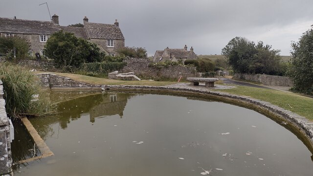
Nearby Amenities

Located within 500m of 50.592905,-2.0267189
Source: PGS
Lat/Long: 50.5889411/-2.0262508
Source: PGS
Lat/Long: 50.5889562/-2.0259166
Source: PGS
Lat/Long: 50.5888131/-2.0244763
Source: PGS
Lat/Long: 50.5890447/-2.0238754
Source: PGS
Lat/Long: 50.5891997/-2.023626
Source: PGS
Lat/Long: 50.5892286/-2.0233149
Seacombe Bottom
Place: locality
Source: OS_OpenData_StreetView
Lat/Long: 50.5920203/-2.0240965
Barrier: kissing_gate
Lat/Long: 50.5891288/-2.0267789
Tourism: picnic_site
Lat/Long: 50.5893718/-2.0232222
Barrier: stile
Material: wood
Step Count: 1
Stile: stepover
Lat/Long: 50.5904321/-2.0232056
The data included in this document is from www.openstreetmap.org. The data is made available under ODbL.

Have you been to Seacombe Bottom?

Leave your review of Seacombe Bottom below (or comments, questions and feedback).