Casseywell Bottom
Valley in Gloucestershire Cotswold
England
Casseywell Bottom
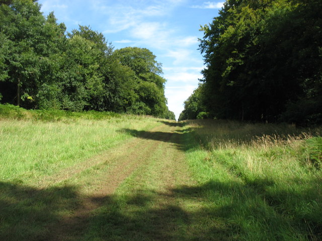
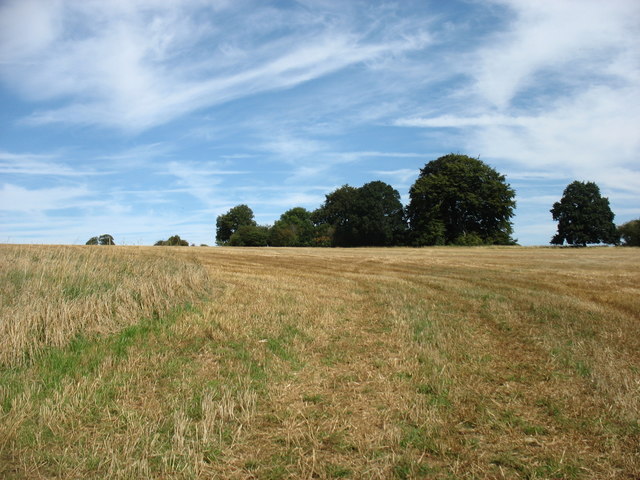
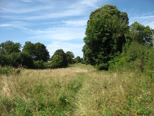
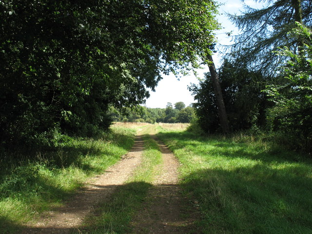
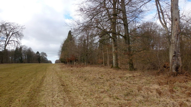
Casseywell Bottom is a picturesque valley located in the county of Gloucestershire, England. Nestled within the breathtaking Cotswolds region, this idyllic valley is known for its stunning natural beauty and tranquil surroundings.
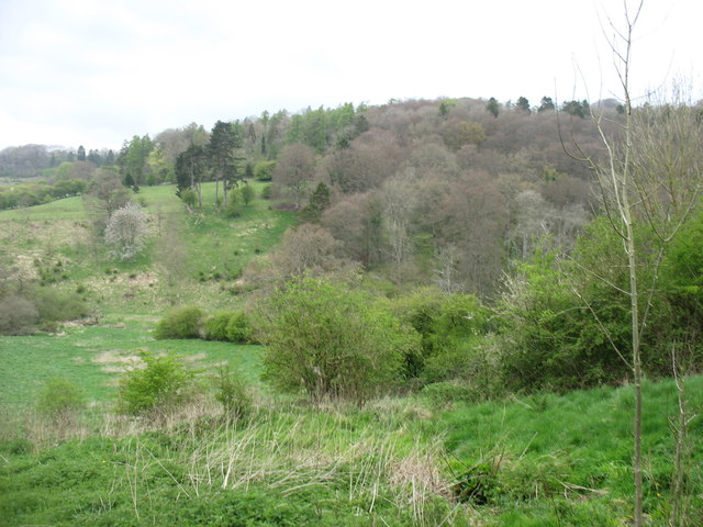
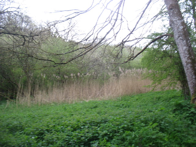
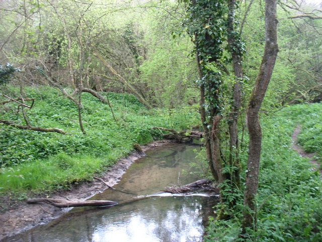
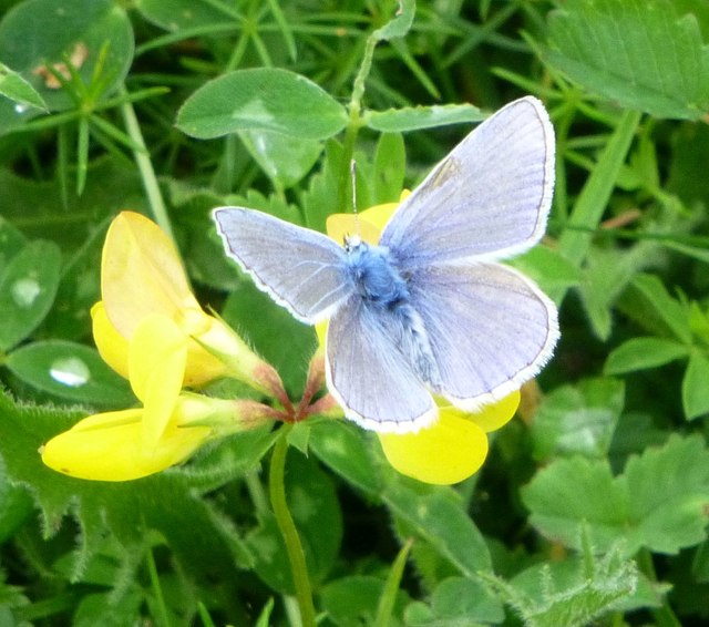
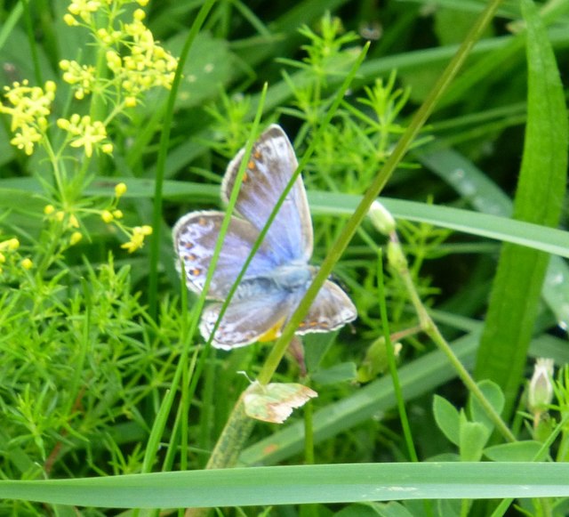
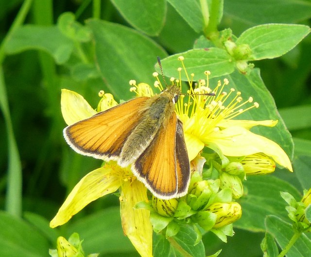
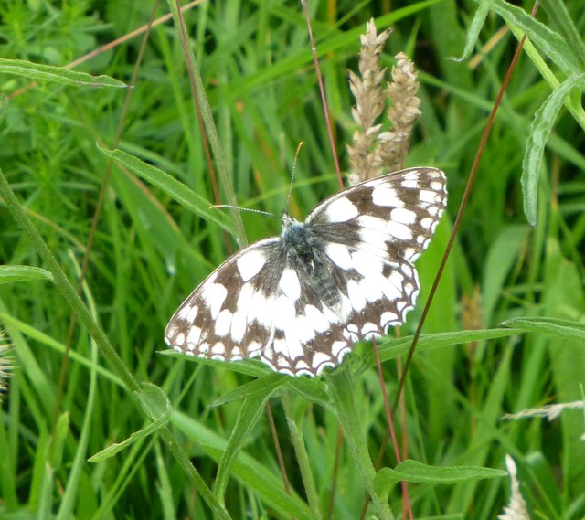
The valley is characterized by rolling hills, lush green meadows, and meandering streams that flow through the landscape. It is home to a diverse range of wildlife, including various bird species, small mammals, and an array of flora and fauna. The valley's rich biodiversity attracts nature enthusiasts and avid birdwatchers from far and wide.
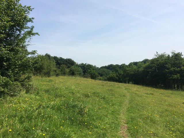
Casseywell Bottom is a popular destination for outdoor activities such as hiking, cycling, and picnicking. Its well-maintained trails offer visitors the opportunity to explore the valley's scenic beauty, providing panoramic views of the surrounding countryside. The valley is also dotted with charming villages and historic landmarks, adding to its appeal.
The tranquility and peacefulness of Casseywell Bottom make it an ideal retreat for those seeking a break from the hustle and bustle of city life. Visitors can immerse themselves in the serene atmosphere, enjoying the sights and sounds of nature while taking in the breathtaking vistas.
Overall, Casseywell Bottom is a hidden gem in Gloucestershire, offering a peaceful haven for nature lovers and outdoor enthusiasts. Its natural beauty, diverse wildlife, and recreational opportunities make it a must-visit destination for those seeking a tranquil escape in the heart of the Cotswolds.
If you have any feedback on the listing, please let us know in the comments section below.
Casseywell Bottom Images
Images are sourced within 2km of 51.719815/-2.075343 or Grid Reference SO9402. Thanks to Geograph Open Source API. All images are credited.

Casseywell Bottom is located at Grid Ref: SO9402 (Lat: 51.719815, Lng: -2.075343)
Administrative County: Gloucestershire
District: Cotswold
Police Authority: Gloucestershire
What 3 Words
///rang.firework.pigs. Near Coates, Gloucestershire
Nearby Locations
Related Wikis

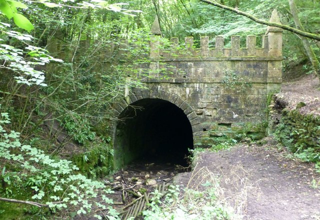
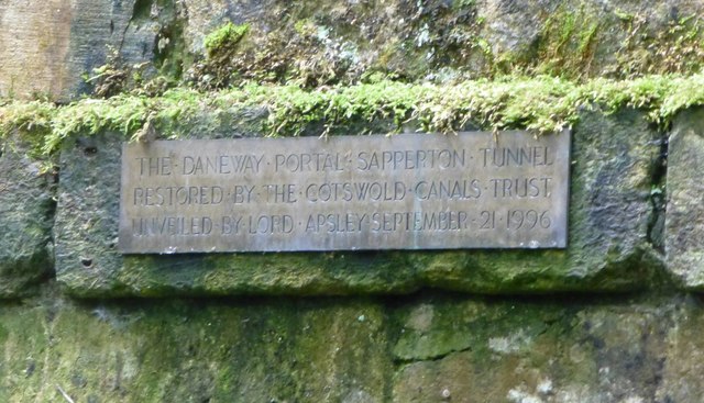
Sapperton Canal Tunnel
The Sapperton Canal Tunnel is a tunnel on the Thames and Severn Canal near Cirencester in Gloucestershire, England. With a length of 3,817 yards (3,490...

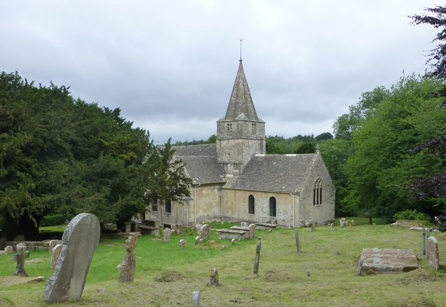
St Kenelm's Church, Sapperton, Gloucestershire
St Kenelm's Church is a historic church in Sapperton, Gloucestershire in the care of The Churches Conservation Trust. It is listed Grade I on the National...
Sapperton, Gloucestershire
Sapperton is a village and civil parish in the Cotswold District of Gloucestershire in England, about 4.5 miles (7.2 km) west of Cirencester. It is most...

Daneway House
Daneway House is a grade I listed house in the parish of Bisley-with-Lypiatt but close to Sapperton in Gloucestershire, England.The house was built in...

Daneway Banks SSSI
Daneway Banks (grid reference SO937034) is a 17-hectare (42-acre) biological Site of Special Scientific Interest in Gloucestershire, notified in 1954 and...

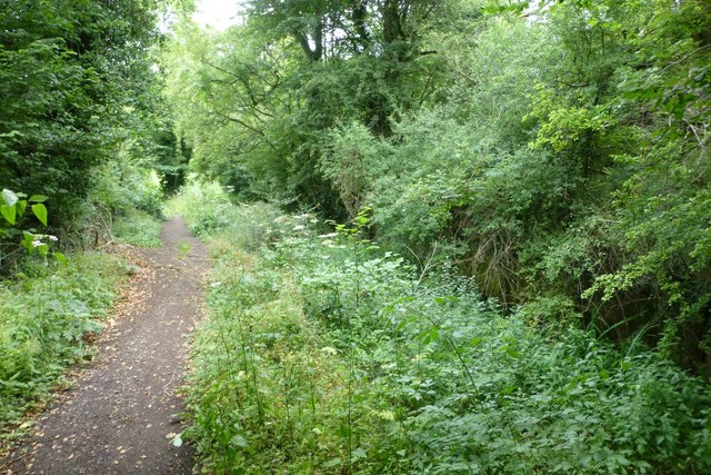
Sapperton Valley
Sapperton Valley (grid reference SO935035) is a 3.7-hectare (9.1-acre) nature reserve near Chalford in the Stroud district of Gloucestershire, England...

Siccaridge Wood
Siccaridge Wood (grid reference SO935035) is a 26.6-hectare (66-acre) nature reserve in Gloucestershire. The site is listed in the ‘Stroud District’ Local...

Sapperton Railway Tunnel
The Sapperton Railway Tunnel is a railway tunnel near Sapperton, Gloucestershire in the United Kingdom. It carries the Golden Valley Line from Stroud to...
Nearby Amenities
Located within 500m of 51.719815,-2.075343Have you been to Casseywell Bottom?
Leave your review of Casseywell Bottom below (or comments, questions and feedback).