Casseywell Plantation
Wood, Forest in Gloucestershire Cotswold
England
Casseywell Plantation
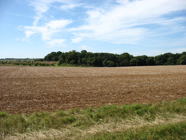
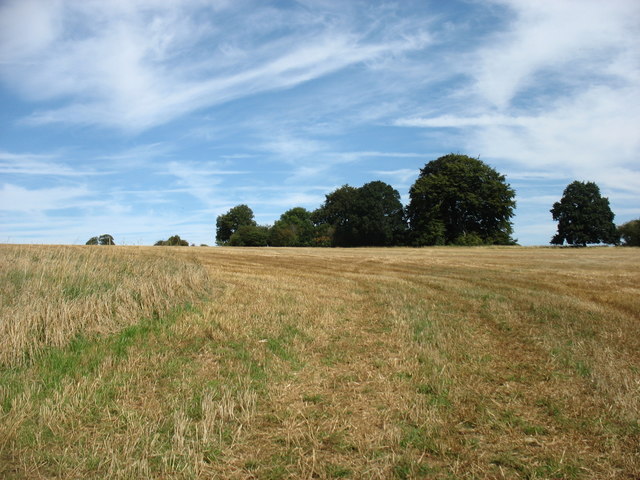
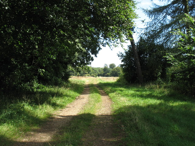
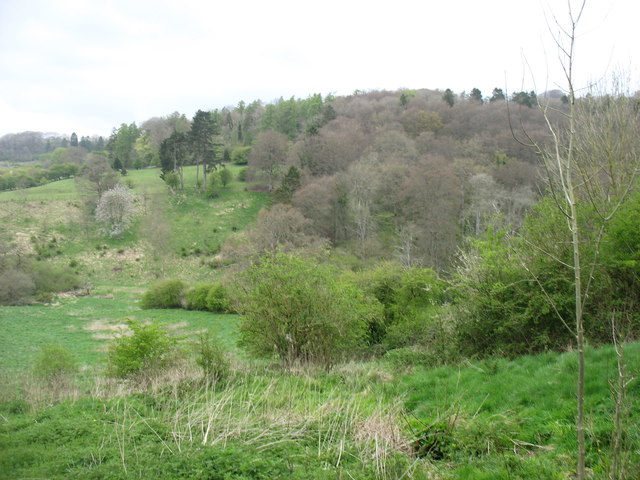
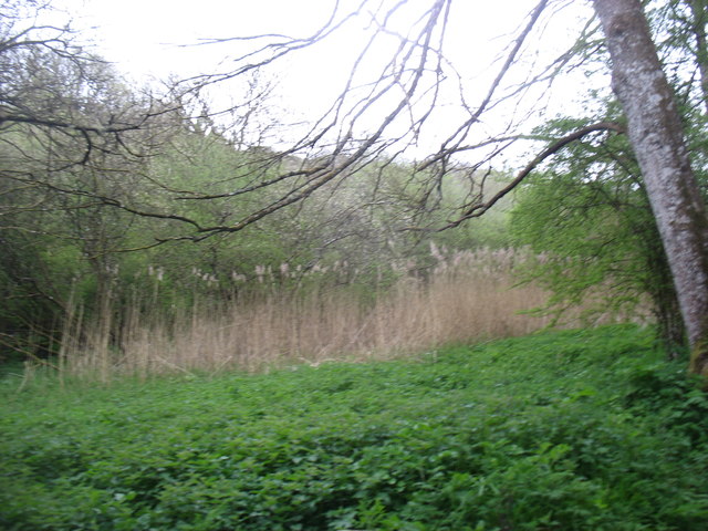
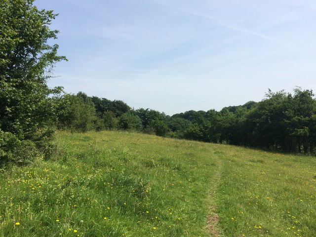
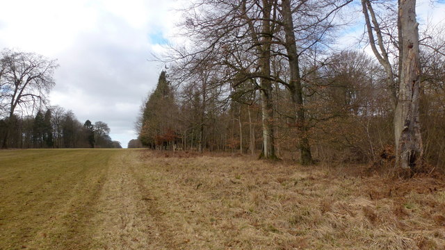
Casseywell Plantation is a charming woodland area located in Gloucestershire, England. Situated in the heart of the county, it offers visitors a tranquil escape from the hustle and bustle of city life. Stretching over a vast expanse of land, the plantation is known for its lush greenery, dense forest, and diverse range of flora and fauna.
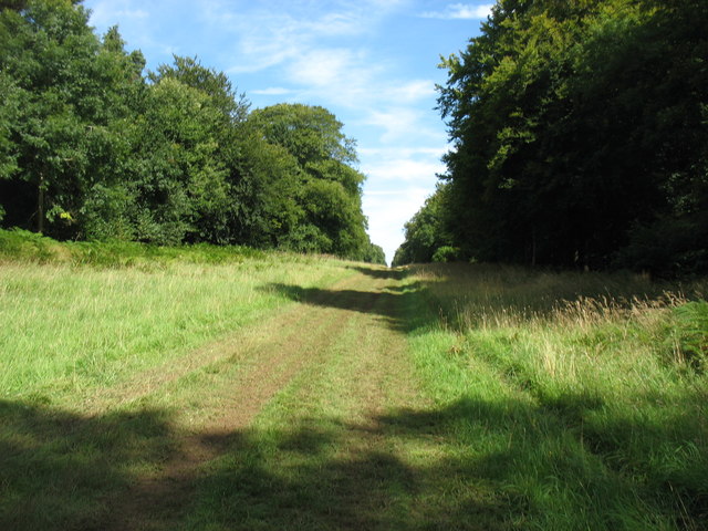
The plantation is home to a variety of tree species, including oak, beech, and birch, which add to its natural beauty. The towering trees provide a canopy that filters the sunlight, casting a pleasant dappled shade over the forest floor. Walking through the plantation, visitors will be greeted by a symphony of bird songs, as numerous avian species have made this woodland their habitat.
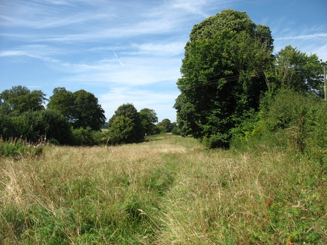
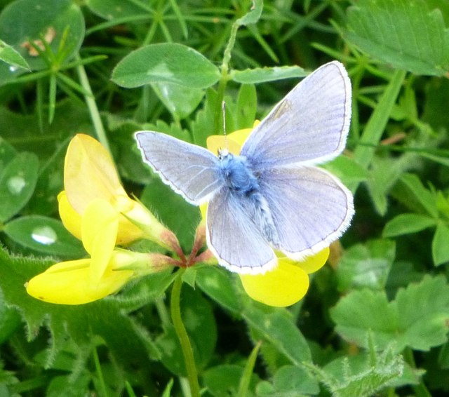
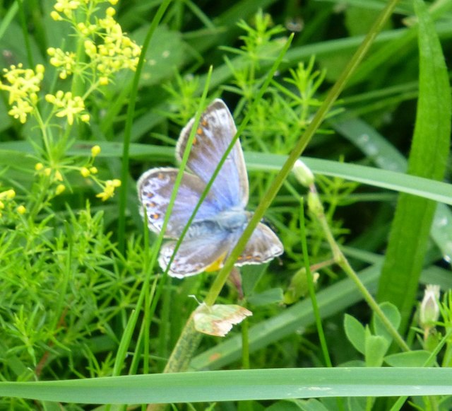
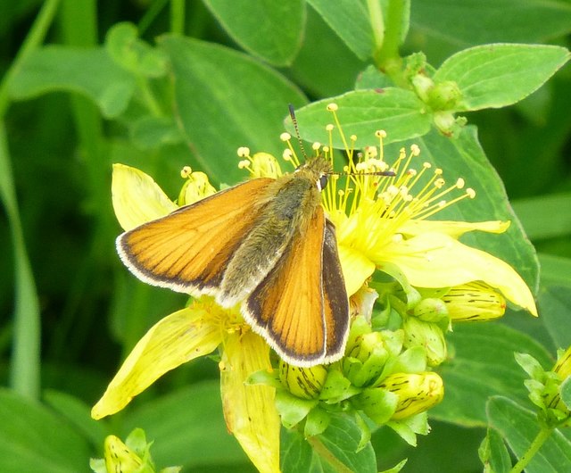
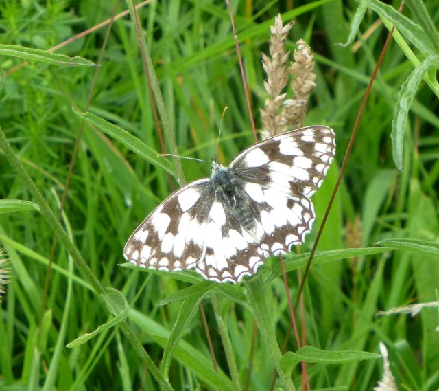
Nature enthusiasts will delight in the abundance of wildlife that can be observed within the plantation. Squirrels scamper through the trees, while rabbits and deer can often be spotted grazing in the open meadows. The plantation is also home to a rich array of birdlife, including woodpeckers, owls, and various songbirds.
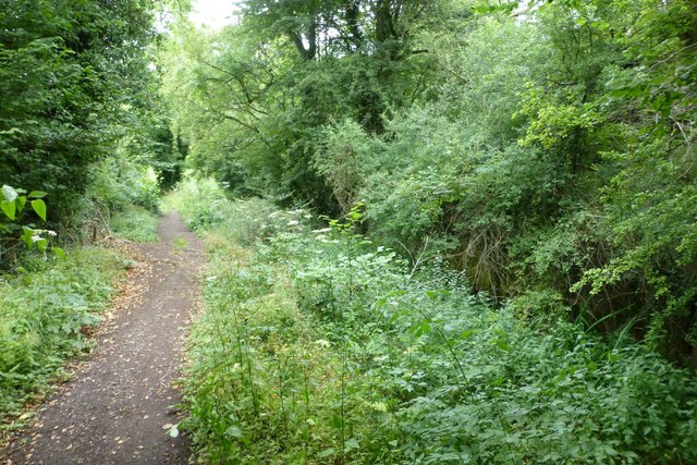
For those seeking outdoor activities, Casseywell Plantation offers several well-marked walking trails that wind through the woodland. These trails provide an opportunity to explore the plantation's diverse ecosystem, from its tranquil ponds to its hidden glades. Nature lovers can also enjoy picnicking in designated areas, immersing themselves in the peaceful ambiance of the surroundings.
Overall, Casseywell Plantation in Gloucestershire offers a scenic retreat for individuals of all ages, providing a haven for wildlife and a tranquil space for visitors to reconnect with nature.
If you have any feedback on the listing, please let us know in the comments section below.
Casseywell Plantation Images
Images are sourced within 2km of 51.718593/-2.0740381 or Grid Reference SO9402. Thanks to Geograph Open Source API. All images are credited.

Casseywell Plantation is located at Grid Ref: SO9402 (Lat: 51.718593, Lng: -2.0740381)
Administrative County: Gloucestershire
District: Cotswold
Police Authority: Gloucestershire
What 3 Words
///stretcher.nuzzling.origin. Near Coates, Gloucestershire
Nearby Locations
Related Wikis

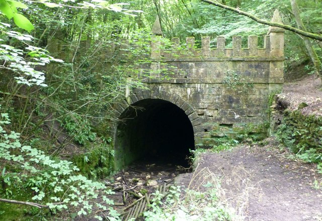
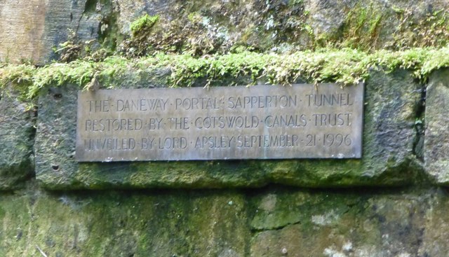
Sapperton Canal Tunnel
The Sapperton Canal Tunnel is a tunnel on the Thames and Severn Canal near Cirencester in Gloucestershire, England. With a length of 3,817 yards (3,490...

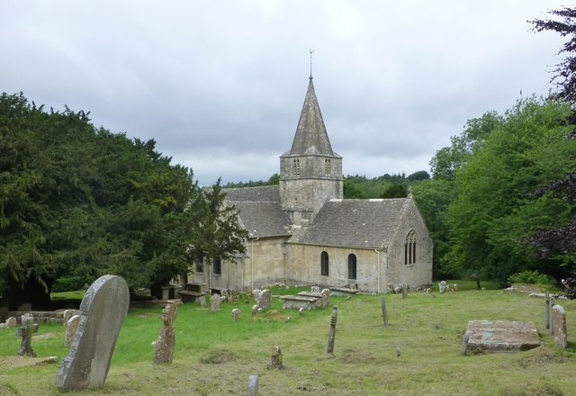
St Kenelm's Church, Sapperton, Gloucestershire
St Kenelm's Church is a historic church in Sapperton, Gloucestershire in the care of The Churches Conservation Trust. It is listed Grade I on the National...
Sapperton, Gloucestershire
Sapperton is a village and civil parish in the Cotswold District of Gloucestershire in England, about 4.5 miles (7.2 km) west of Cirencester. It is most...

Daneway House
Daneway House is a grade I listed house in the parish of Bisley-with-Lypiatt but close to Sapperton in Gloucestershire, England.The house was built in...

Daneway Banks SSSI
Daneway Banks (grid reference SO937034) is a 17-hectare (42-acre) biological Site of Special Scientific Interest in Gloucestershire, notified in 1954 and...

Sapperton Valley
Sapperton Valley (grid reference SO935035) is a 3.7-hectare (9.1-acre) nature reserve near Chalford in the Stroud district of Gloucestershire, England...

Siccaridge Wood
Siccaridge Wood (grid reference SO935035) is a 26.6-hectare (66-acre) nature reserve in Gloucestershire. The site is listed in the ‘Stroud District’ Local...

Sapperton Railway Tunnel
The Sapperton Railway Tunnel is a railway tunnel near Sapperton, Gloucestershire in the United Kingdom. It carries the Golden Valley Line from Stroud to...
Nearby Amenities
Located within 500m of 51.718593,-2.0740381Have you been to Casseywell Plantation?
Leave your review of Casseywell Plantation below (or comments, questions and feedback).