Smithy Clough
Valley in Lancashire Pendle
England
Smithy Clough

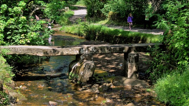
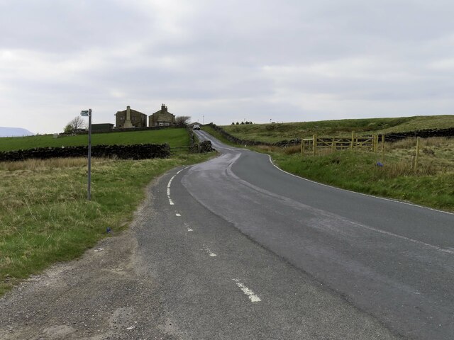
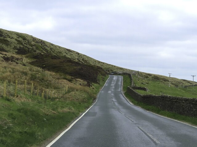
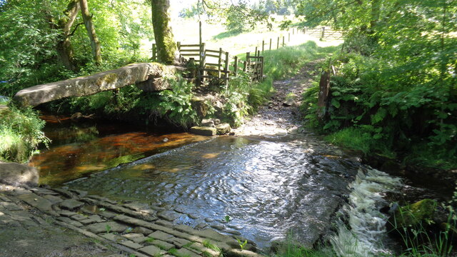
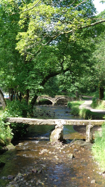
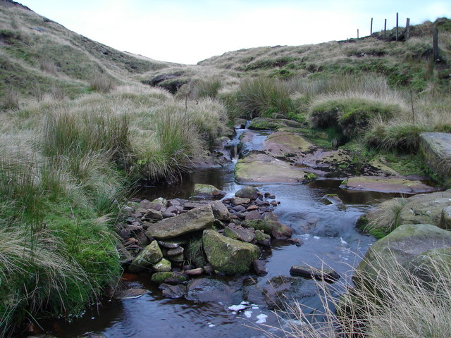
Smithy Clough is a picturesque valley located in the Lancashire region of England. Nestled within the beautiful countryside, it is a haven of natural beauty and tranquility. The valley is named after the small stream, or clough, that runs through it.
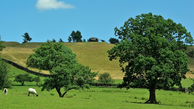
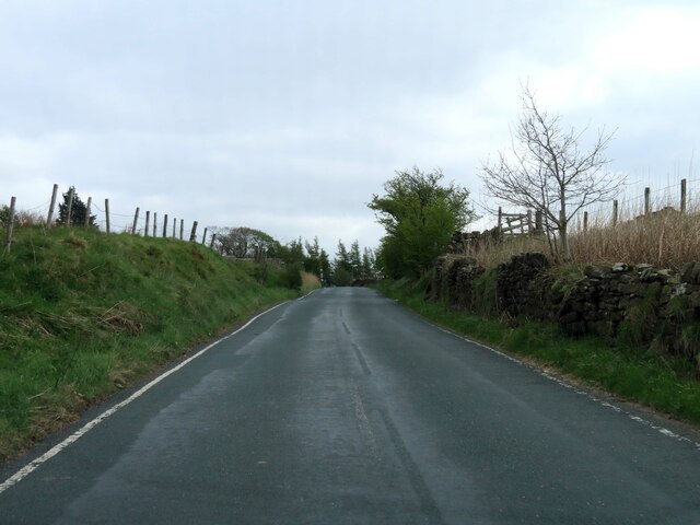
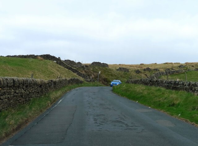
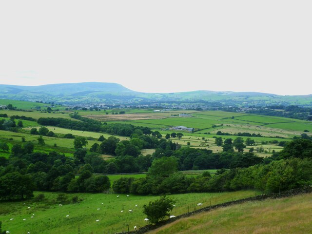
The landscape of Smithy Clough is characterized by rolling hills, lush green fields, and dense woodlands. It is a haven for wildlife, with an abundance of flora and fauna. Visitors to the area can expect to see a variety of bird species, along with rabbits, deer, and other small mammals.
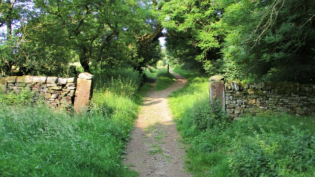
The valley is a popular destination for outdoor enthusiasts, offering a range of activities such as hiking, cycling, and nature walks. There are numerous well-marked trails that wind through the valley, providing stunning views of the surrounding countryside. The peaceful atmosphere and breathtaking scenery make it an ideal location for those seeking to escape the hustle and bustle of everyday life.
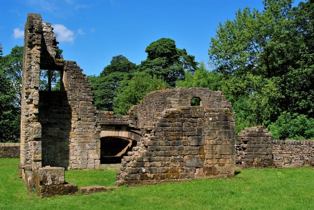
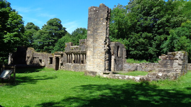
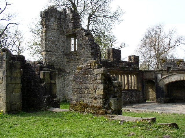
In addition to its natural beauty, Smithy Clough also boasts a rich history. The area was once home to a thriving industrial community, with several mills and forges operating in the valley during the 19th century. Today, remnants of these industrial structures can still be seen, adding an interesting element to the valley's charm.
Overall, Smithy Clough is a hidden gem in Lancashire, offering visitors a chance to connect with nature and explore a landscape steeped in history. Whether it's a leisurely stroll along the stream or an adventurous hike up the hills, this valley has something to offer everyone.
If you have any feedback on the listing, please let us know in the comments section below.
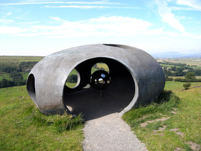
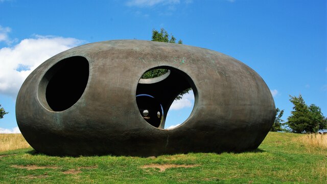
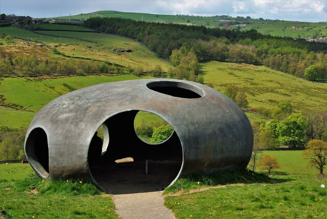
Smithy Clough Images
Images are sourced within 2km of 53.843492/-2.0791309 or Grid Reference SD9438. Thanks to Geograph Open Source API. All images are credited.


Smithy Clough is located at Grid Ref: SD9438 (Lat: 53.843492, Lng: -2.0791309)
Administrative County: Lancashire
District: Pendle
Police Authority: Lancashire
What 3 Words
///squirts.treat.persuade. Near Colne, Lancashire
Nearby Locations
Related Wikis
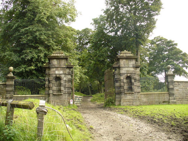
Wycoller Hall
Wycoller Hall was a late sixteenth-century manor house in the village of Wycoller, Lancashire, England. The hall was the centre of a sizeable estate but...

Wycoller
Wycoller is a village in the civil parish of Trawden Forest in Pendle, Lancashire, England. It is 3 miles (4.8 km) east of Colne, near to the junction...

Wycoller Beck
Wycoller Beck is a stream in Lancashire, running through Wycoller Country Park and the village of Wycoller in Pendle. It is 3.76 miles (6.05 km) long and...

Watersheddles Reservoir
Watersheddles Reservoir is an upland artificial lake in Lancashire, England. The reservoir was opened in 1877 by the Keighley Corporation Water Works,...
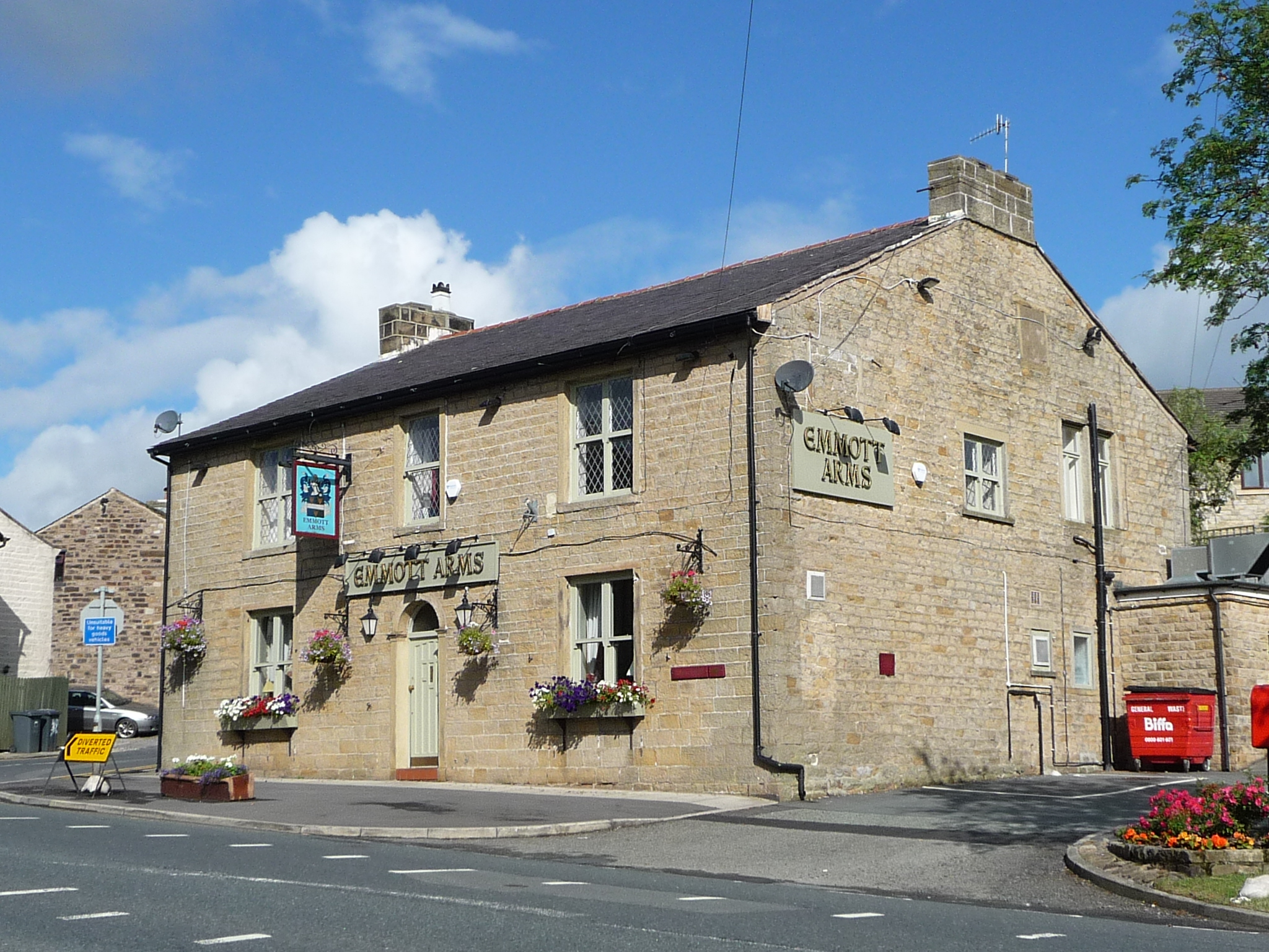
Emmott Hall
Emmott Hall was a country house in the village of Laneshawbridge, Colne, Lancashire, England. It stood on high ground two and a half miles east of Colne...
River Laneshaw
The River Laneshaw is a river in Northern England. It runs for 1.9 miles (3 km) from Laneshaw Reservoir to Laneshaw Bridge alongside the A6068 road and...

Trawden Brook
Trawden Brook is a minor river in Lancashire, England. It is 3.48 miles (5.6 km) long and has a catchment area of 4.40 square miles (11.4 km2).Rising on...
Laneshaw Bridge
Laneshawbridge (otherwise Laneshaw Bridge) is a village and civil parish in the Borough of Pendle in England. The population of the civil parish at the...
Nearby Amenities
Located within 500m of 53.843492,-2.0791309Have you been to Smithy Clough?
Leave your review of Smithy Clough below (or comments, questions and feedback).