Malacombe Bottom
Valley in Wiltshire
England
Malacombe Bottom
Malacombe Bottom, located in Wiltshire, England, is a picturesque valley nestled within the rolling countryside. This idyllic valley is situated in the southern part of the county, near the town of Marlborough. The name "Malacombe Bottom" is believed to have originated from the Old English words "malh" meaning "gravel" and "cumbe" meaning "valley," indicating the presence of gravelly terrain in the area.
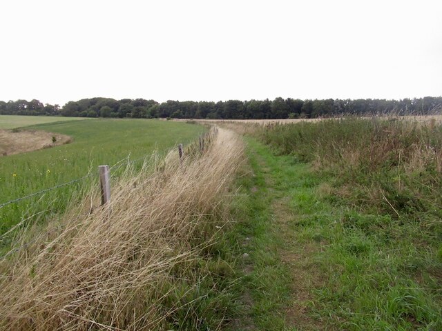
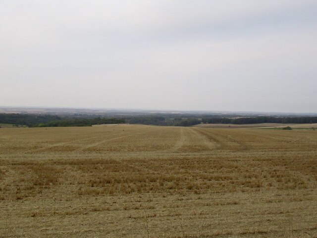
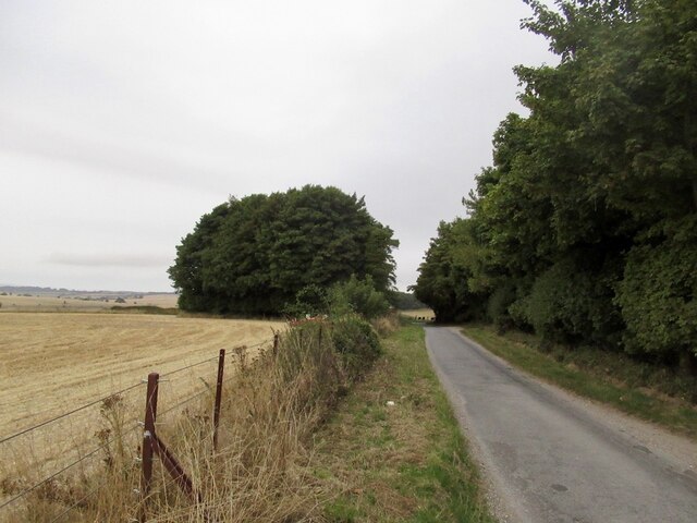
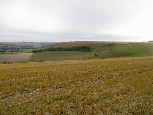
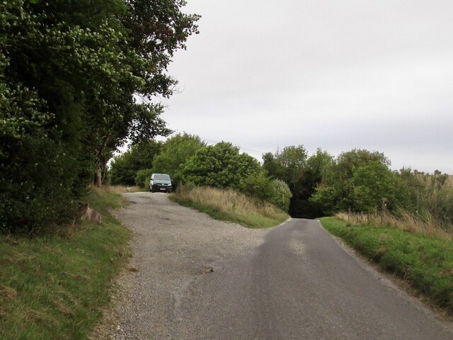
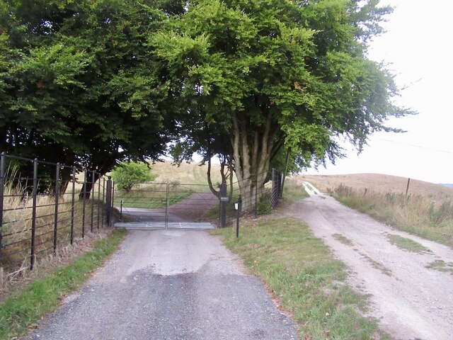
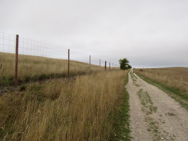
The landscape of Malacombe Bottom is characterized by gently sloping hills covered in lush greenery, providing a serene and peaceful atmosphere. The valley is traversed by a small stream that winds its way through the valley floor, adding to the natural beauty of the surroundings. The stream is flanked by a variety of trees, including ash, oak, and willow, creating a rich and diverse ecosystem.
Malacombe Bottom is also home to a range of wildlife, including various bird species, small mammals, and insects. The valley's diverse habitats, including woodland areas and meadows, provide ample food and shelter for these animals.
Due to its natural beauty and tranquility, Malacombe Bottom is a popular destination for outdoor enthusiasts and nature lovers. The valley offers numerous walking trails, allowing visitors to explore the area and appreciate its scenic views. Additionally, the valley's proximity to Marlborough provides easy access to amenities such as shops, restaurants, and accommodations.
Overall, Malacombe Bottom is a hidden gem in Wiltshire, offering a haven of natural beauty and tranquility for visitors to enjoy.
If you have any feedback on the listing, please let us know in the comments section below.
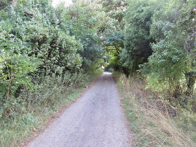
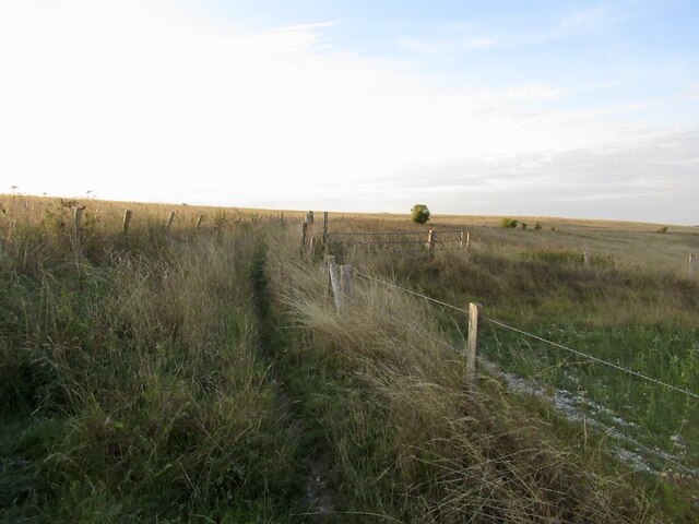
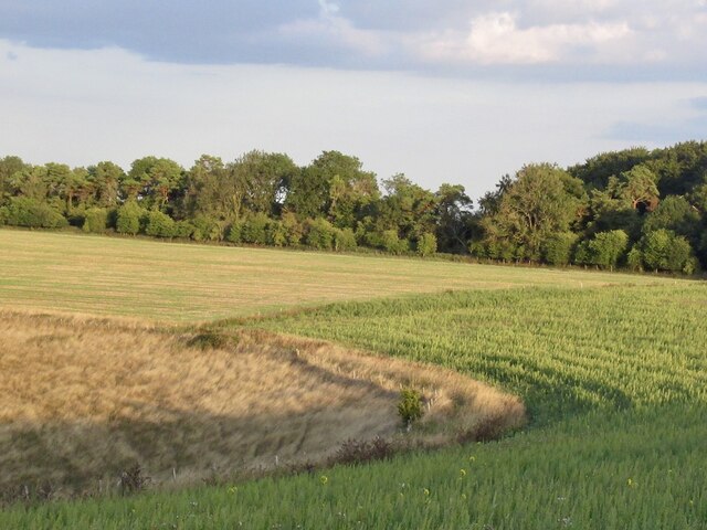
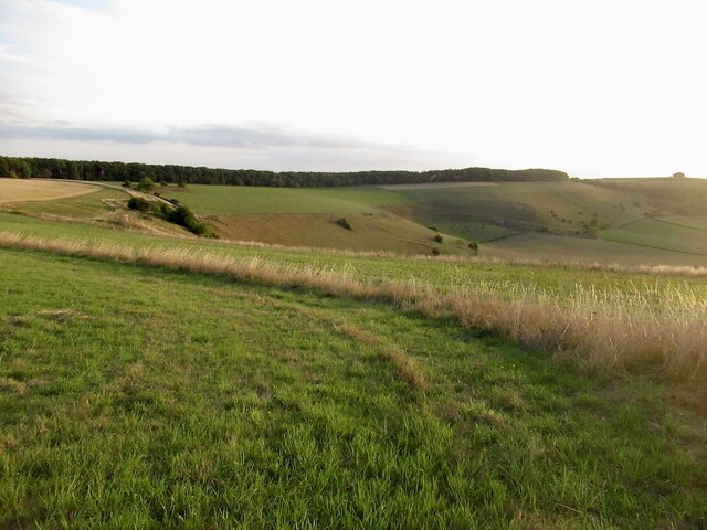
Malacombe Bottom Images
Images are sourced within 2km of 50.971946/-2.0782098 or Grid Reference ST9419. Thanks to Geograph Open Source API. All images are credited.


Malacombe Bottom is located at Grid Ref: ST9419 (Lat: 50.971946, Lng: -2.0782098)
Unitary Authority: Wiltshire
Police Authority: Wiltshire
What 3 Words
///unloaded.relay.chilled. Near Ansty, Wiltshire
Nearby Locations
Related Wikis

Rotherley Downs
Rotherley Downs (grid reference ST946196) is a 120.05 hectare biological Site of Special Scientific Interest in Wiltshire, England, notified in 1989. The...
Rotherley Down Settlement
Rotherley Down Settlement is an archaeological site of the late Iron Age and Romano-British period on Cranborne Chase, England. It is about 1.5 miles...

Sandroyd School
Sandroyd School is an independent co-educational preparatory school for day and boarding pupils aged 2 to 13 in the south of Wiltshire, England. The school...

Tollard Royal
Tollard Royal is a village and civil parish on Cranborne Chase, Wiltshire, England. The parish is on Wiltshire's southern boundary with Dorset and the...

King John's House, Tollard Royal
King John's House is a former manor house in the south Wiltshire village of Tollard Royal, England. Just south of the church, the building has at its core...

Ashcombe House, Wiltshire
Ashcombe House, also known as Ashcombe Park, is a Georgian manor house, set in 1,134 acres (4.59 km2) of land on Cranborne Chase in the parish of Berwick...

South Lodge Camp
South Lodge Camp is an archaeological site of the Bronze Age, about 0.6 miles (1.0 km) south-east of the village of Tollard Royal, in Wiltshire, England...

Woodcutts Settlement
Woodcutts Settlement is an archaeological site of the late Iron Age and Romano-British period on Cranborne Chase, England. It is situated about 1 mile...
Have you been to Malacombe Bottom?
Leave your review of Malacombe Bottom below (or comments, questions and feedback).