Berwick Down
Downs, Moorland in Wiltshire
England
Berwick Down
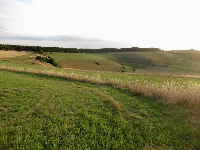
Berwick Down is an area of outstanding natural beauty located in the county of Wiltshire, England. It is part of the larger Salisbury Plain and covers an expansive area of rolling hills, downs, and moorland. The Down is situated approximately 10 miles southwest of the historic city of Salisbury and is surrounded by picturesque countryside.
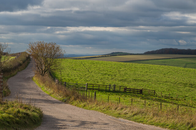
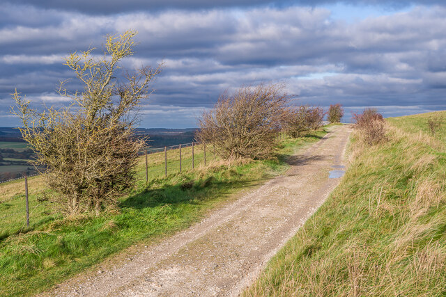
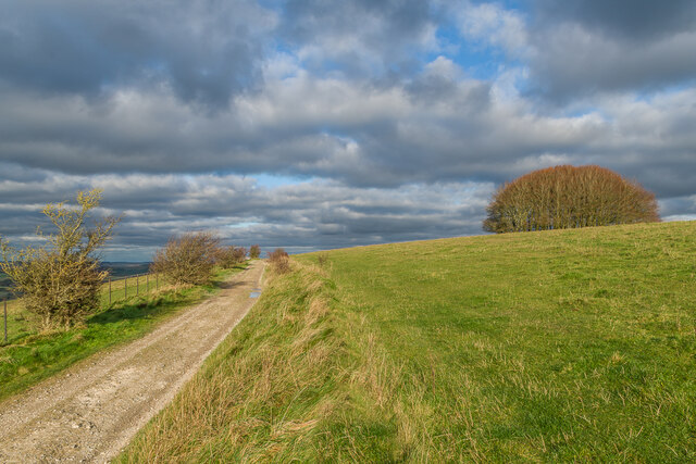
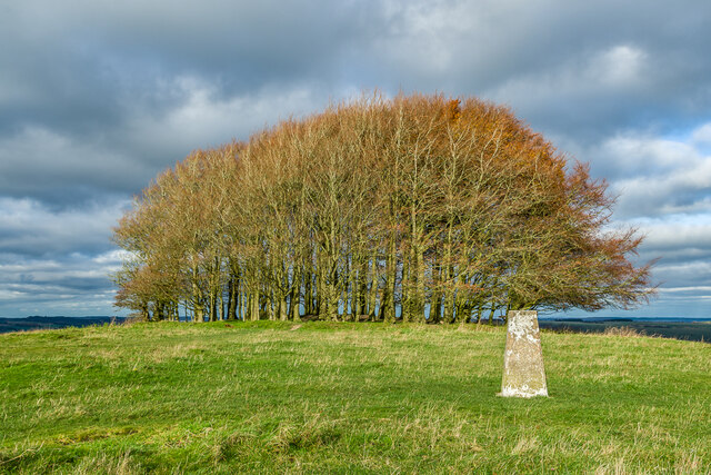
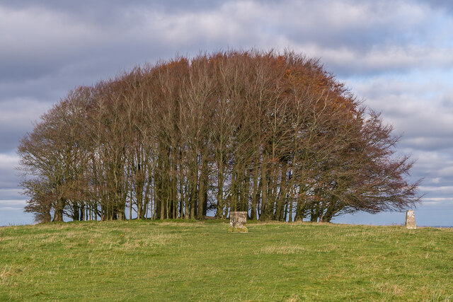
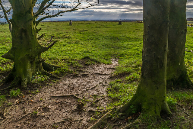
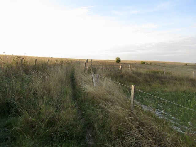
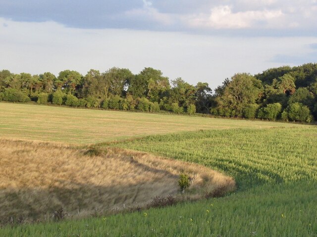
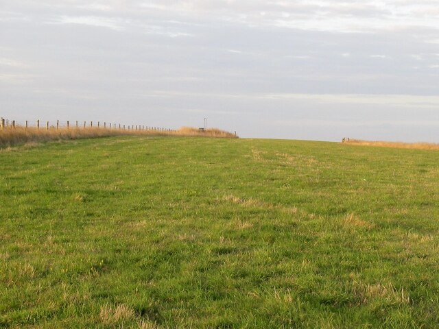
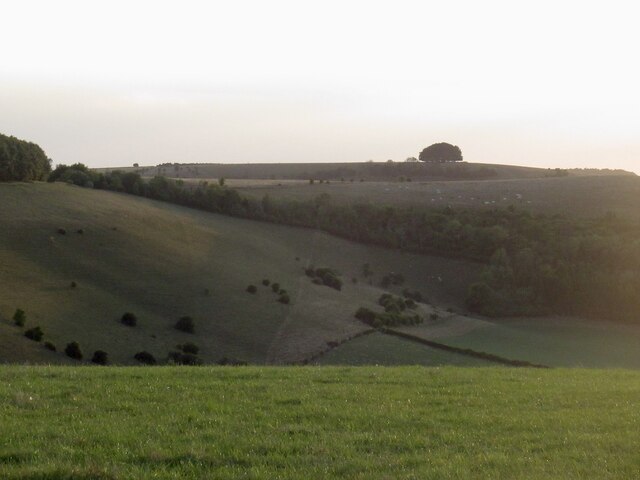
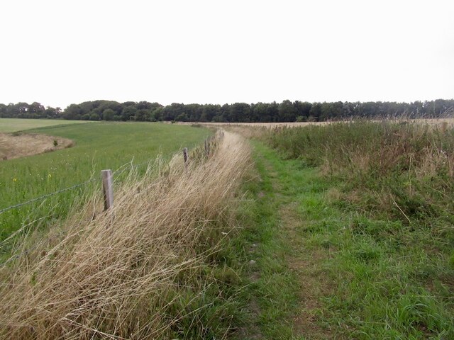
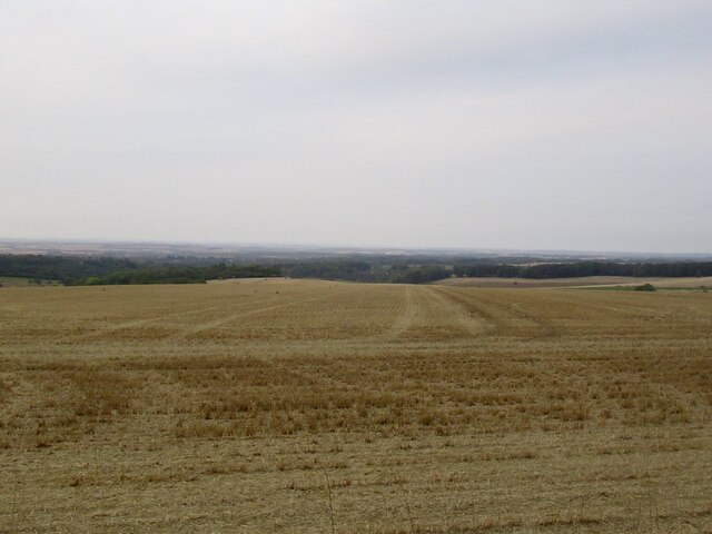
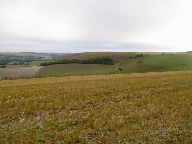
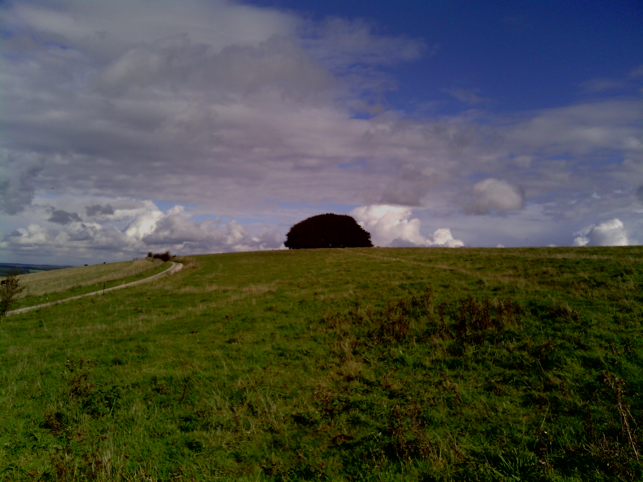
The landscape of Berwick Down is characterized by its open grassland, dotted with patches of heathland and scattered woodlands. The area is known for its wide vistas and breathtaking views, offering visitors a sense of tranquility and serenity. The downs are covered in a variety of native grasses and wildflowers, providing a haven for numerous species of birds, insects, and small mammals.
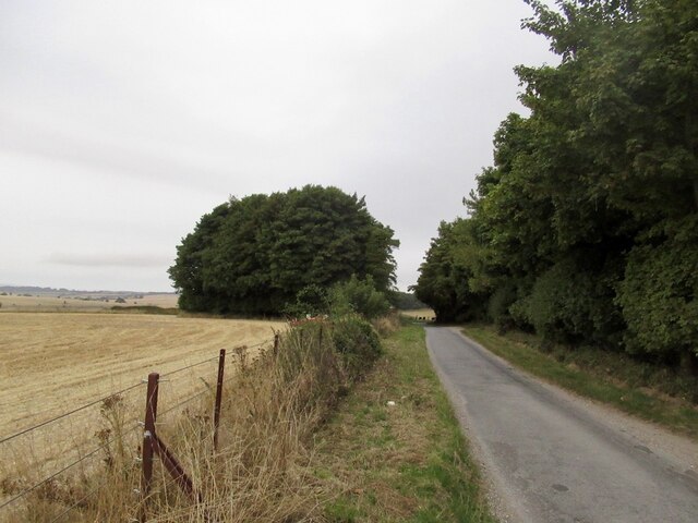
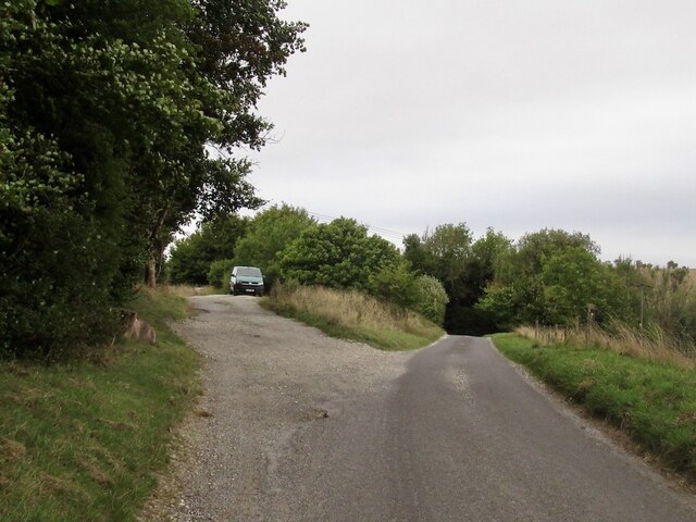
The undulating terrain of Berwick Down makes it a popular destination for outdoor enthusiasts. The area offers opportunities for hiking, walking, and cycling, with several well-marked trails crisscrossing the landscape. These paths take visitors through the heart of the downs, allowing them to fully appreciate the natural beauty of the area.
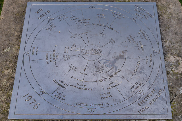
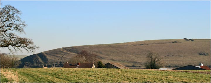
Berwick Down is also home to several archaeological sites of historical significance. The area has a rich prehistoric heritage, with evidence of human occupation dating back thousands of years. Ancient burial mounds, stone circles, and hill forts can be found scattered throughout the downs, providing a glimpse into the lives of past civilizations.
Overall, Berwick Down is a stunning natural landscape with a rich history. Its rolling hills, open grasslands, and archaeological sites make it a must-visit destination for nature lovers and history enthusiasts alike.
If you have any feedback on the listing, please let us know in the comments section below.
Berwick Down Images
Images are sourced within 2km of 50.977497/-2.0867512 or Grid Reference ST9419. Thanks to Geograph Open Source API. All images are credited.
Berwick Down is located at Grid Ref: ST9419 (Lat: 50.977497, Lng: -2.0867512)
Unitary Authority: Wiltshire
Police Authority: Wiltshire
What 3 Words
///arranged.sweetener.armful. Near Ansty, Wiltshire
Nearby Locations
Related Wikis

Rotherley Downs
Rotherley Downs (grid reference ST946196) is a 120.05 hectare biological Site of Special Scientific Interest in Wiltshire, England, notified in 1989. The...

Ashcombe House, Wiltshire
Ashcombe House, also known as Ashcombe Park, is a Georgian manor house, set in 1,134 acres (4.59 km2) of land on Cranborne Chase in the parish of Berwick...
Rotherley Down Settlement
Rotherley Down Settlement is an archaeological site of the late Iron Age and Romano-British period on Cranborne Chase, England. It is about 1.5 miles...
Win Green Down
Win Green Down at grid reference ST927209 in south-western Wiltshire, England is a 26.0 hectares (64 acres) biological Site of Special Scientific Interest...

Sandroyd School
Sandroyd School is an independent co-educational preparatory school for day and boarding pupils aged 2 to 13 in the south of Wiltshire, England. The school...

Tollard Royal
Tollard Royal is a village and civil parish on Cranborne Chase, Wiltshire, England. The parish is on Wiltshire's southern boundary with Dorset and the...
Winklebury Hill
Winkelbury Hill (grid reference ST952216) is a 62.95 hectare biological Site of Special Scientific Interest in Berwick St John parish, south-west Wiltshire...

King John's House, Tollard Royal
King John's House is a former manor house in the south Wiltshire village of Tollard Royal, England. Just south of the church, the building has at its core...
Nearby Amenities
Located within 500m of 50.977497,-2.0867512Have you been to Berwick Down?
Leave your review of Berwick Down below (or comments, questions and feedback).