Broadshaw Bottom
Valley in Yorkshire Richmondshire
England
Broadshaw Bottom
Located in the picturesque region of Yorkshire, Broadshaw Bottom is a charming valley nestled amidst the rolling hills and verdant landscapes of northern England. This idyllic rural haven lies approximately 10 miles southwest of the historic town of York.
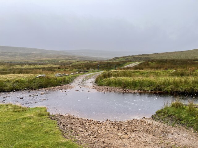
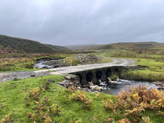
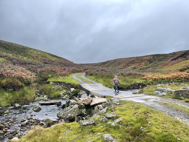
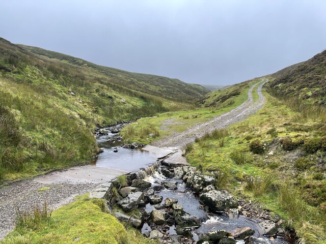
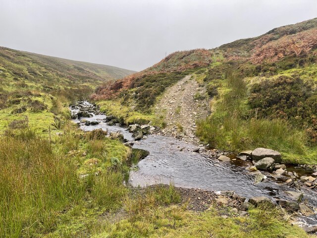
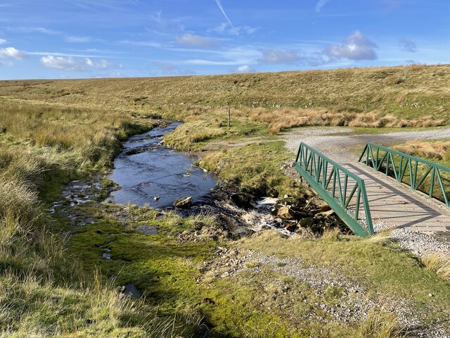
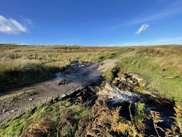
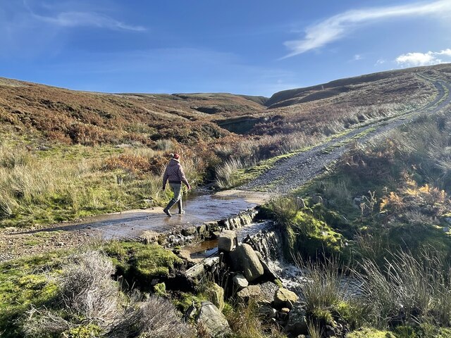
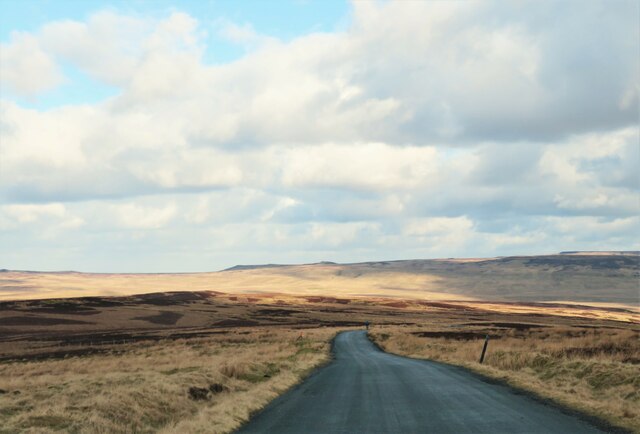
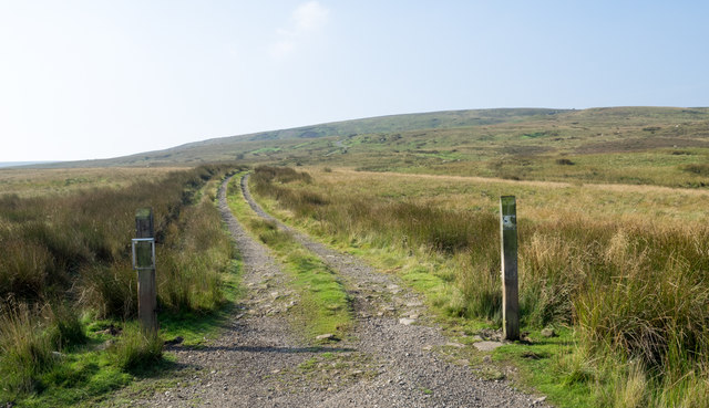
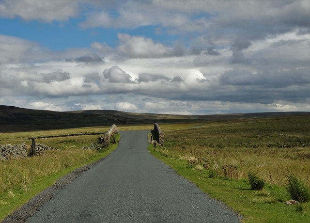
Broadshaw Bottom is characterized by its stunning natural beauty, with lush meadows, meandering streams, and dense woodlands painting a breathtaking backdrop. The valley is renowned for its tranquil atmosphere, offering a peaceful retreat for both locals and visitors seeking respite from the bustling city life.
The area is home to a diverse range of flora and fauna, with an abundance of native wildlife thriving in its unspoiled surroundings. Visitors to Broadshaw Bottom can expect to encounter a variety of bird species, such as the elusive kingfisher and the majestic barn owl, as well as small mammals like hedgehogs and rabbits.
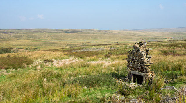
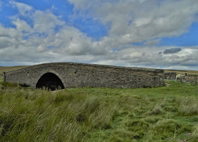
The valley is also endowed with a rich cultural heritage, boasting a number of historic landmarks and architectural gems. The picturesque village of Broadshaw, located within the valley, showcases traditional Yorkshire stone cottages and a charming village green, providing a glimpse into the region's past.
Outdoor enthusiasts are spoilt for choice when it comes to recreational activities in Broadshaw Bottom. The valley offers extensive walking and hiking trails, allowing visitors to explore its stunning landscapes at their own pace. Additionally, the nearby River Ouse provides opportunities for fishing and boating, adding to the area's allure.
Whether it be for its natural beauty, rich history, or outdoor pursuits, Broadshaw Bottom stands as a hidden gem in Yorkshire, inviting all who visit to immerse themselves in its tranquil charm.
If you have any feedback on the listing, please let us know in the comments section below.
Broadshaw Bottom Images
Images are sourced within 2km of 54.45912/-2.0935835 or Grid Reference NY9407. Thanks to Geograph Open Source API. All images are credited.


Broadshaw Bottom is located at Grid Ref: NY9407 (Lat: 54.45912, Lng: -2.0935835)
Division: North Riding
Administrative County: North Yorkshire
District: Richmondshire
Police Authority: North Yorkshire
What 3 Words
///pastels.worthy.spinning. Near Bowes, Co. Durham
Nearby Locations
Related Wikis

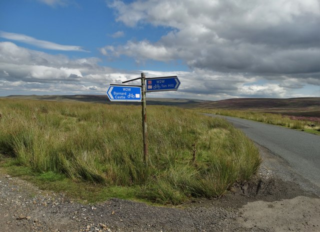
Walney to Wear and Whitby Cycle Route
The Walney to Wear and Whitby Cycle Route (or W2W) is the name of a cross-country cycle route in Northern England. It runs from Walney Island in Cumbria...
National Cycle Route 70
National Cycle Network (NCN) Route 70 is a Sustrans National Route that runs from Walney Island in Cumbria to Sunderland. The route is fully open and signed...

Sleightholme
Sleightholme is a secluded hamlet on a dead end road in County Durham, England. It lies beside Sleightholme Beck, a tributary of the River Greta. The...

Arkengarthdale Gunnerside and Reeth Moors
Arkengarthdale Gunnerside and Reeth Moors (grid reference NY935070 and SD970990) is a 7,634.72 hectares (18,865.8 acres) biological Site of Special Scientific...

Bowes Moor
Bowes Moor is a Site of Special Scientific Interest in the County Durham district in south-west County Durham, England. It is an extensive area of moorland...

Arkengarthdale
Arkengarthdale is a dale, or valley, on the east side of the Pennines in North Yorkshire, England. Running roughly north-west to south-east, it is the...

Tan Hill, North Yorkshire
Tan Hill (NY896067) is a high point on the Pennine Way in the Richmondshire district of North Yorkshire, England. It lies north of Keld in the civil parish...

Rogan's Seat
Rogan's Seat is a remote hill located near East Stonesdale and Gunnerside Gill, in the Yorkshire Dales in England. It is a high expanse of moorland that...
Nearby Amenities
Located within 500m of 54.45912,-2.0935835Have you been to Broadshaw Bottom?
Leave your review of Broadshaw Bottom below (or comments, questions and feedback).