Adjustment Ground
Downs, Moorland in Yorkshire Richmondshire
England
Adjustment Ground
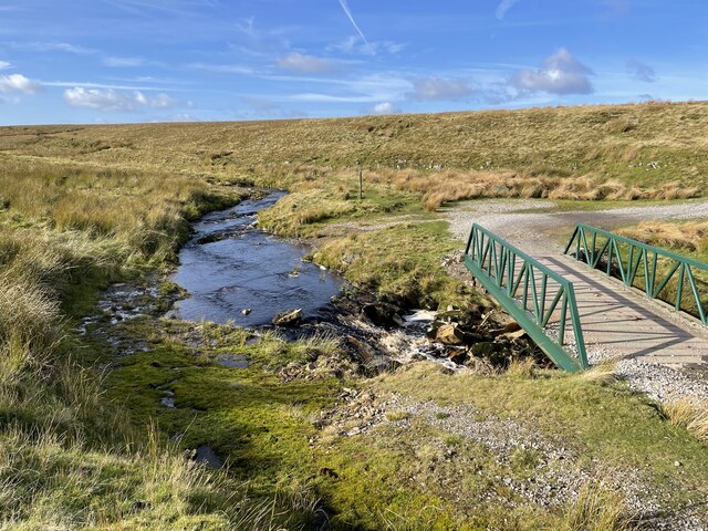
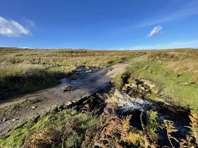
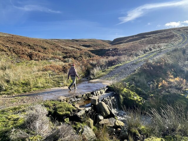
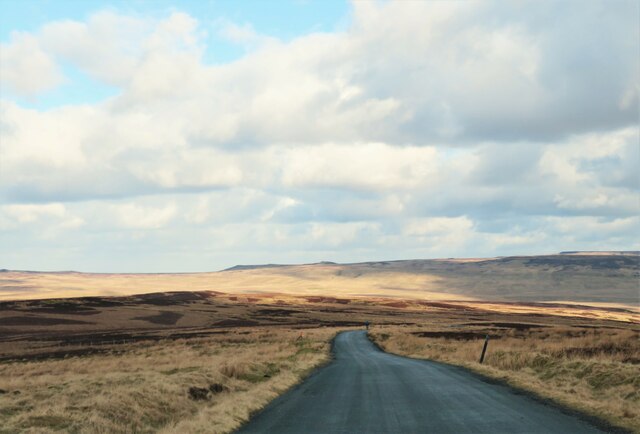
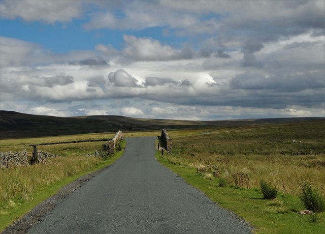
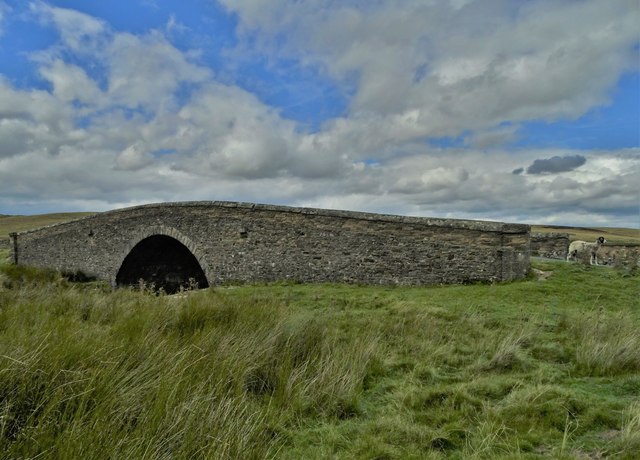
Adjustment Ground is a picturesque area located in the county of Yorkshire, England. It is renowned for its stunning natural beauty, comprised of both downs and moorland landscapes. The region is characterized by rolling hills, vast open spaces, and a diverse range of flora and fauna.
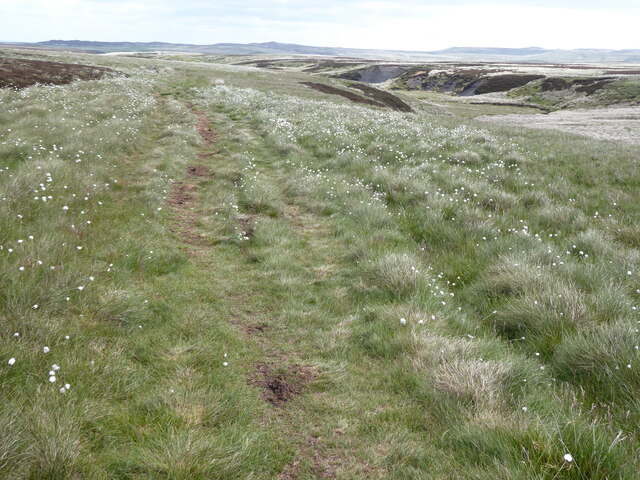
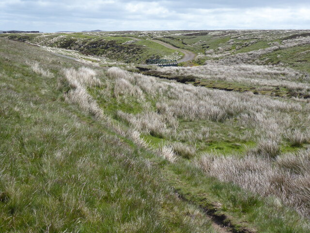
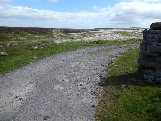
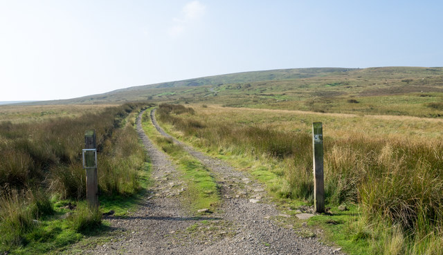
The downs of Adjustment Ground offer breathtaking views of the surrounding countryside. These gentle slopes are covered in lush green grasslands, dotted with clusters of trees and patches of colorful wildflowers. The area is ideal for leisurely walks, picnics, and outdoor activities, as it provides a serene and peaceful environment. Visitors can immerse themselves in the tranquility of the downs while enjoying the breathtaking vistas.
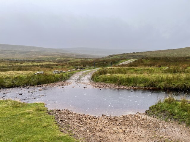
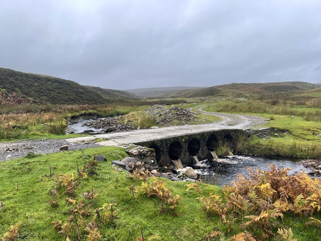
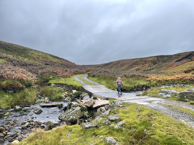
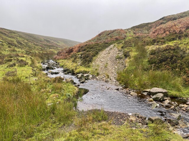
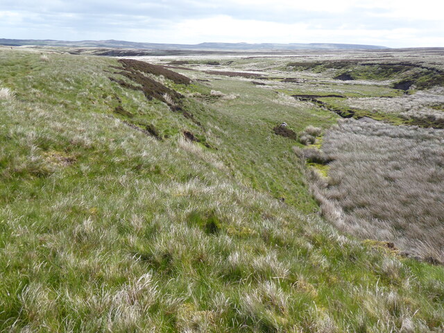
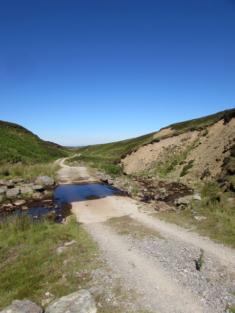
The moorland in Adjustment Ground is equally captivating, with its rugged terrain and expansive stretches of heather-covered hills. This unique landscape is home to a variety of wildlife, including birds of prey, grouse, and other indigenous species. The moorland offers an excellent opportunity for nature enthusiasts to observe and appreciate the diverse ecosystems that thrive in this region.
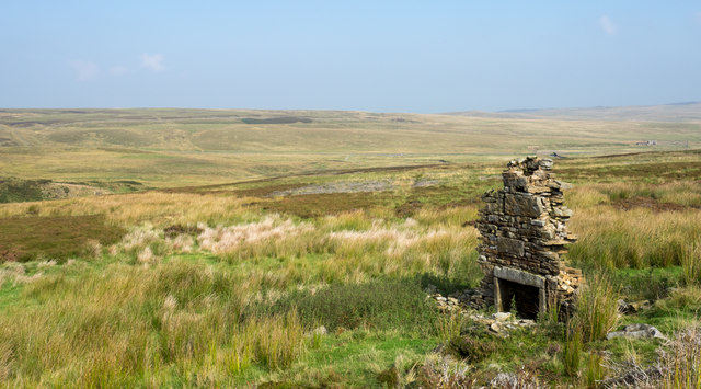
Adjustment Ground is also known for its rich cultural heritage. The area is dotted with charming villages and historic landmarks, such as old churches and traditional cottages. Visitors can explore the local history and immerse themselves in the unique charm of the region.
Overall, Adjustment Ground in Yorkshire offers a perfect blend of natural beauty, tranquility, and cultural heritage. Whether it is for a leisurely walk, wildlife observation, or a glimpse into the local history, this area has something to offer for everyone.
If you have any feedback on the listing, please let us know in the comments section below.
Adjustment Ground Images
Images are sourced within 2km of 54.465109/-2.0887221 or Grid Reference NY9407. Thanks to Geograph Open Source API. All images are credited.
Adjustment Ground is located at Grid Ref: NY9407 (Lat: 54.465109, Lng: -2.0887221)
Division: North Riding
Administrative County: North Yorkshire
District: Richmondshire
Police Authority: North Yorkshire
Also known as: The Disputes
What 3 Words
///joggers.snapping.unloading. Near Bowes, Co. Durham
Nearby Locations
Related Wikis

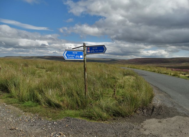
Walney to Wear and Whitby Cycle Route
The Walney to Wear and Whitby Cycle Route (or W2W) is the name of a cross-country cycle route in Northern England. It runs from Walney Island in Cumbria...
National Cycle Route 70
National Cycle Network (NCN) Route 70 is a Sustrans National Route that runs from Walney Island in Cumbria to Sunderland. The route is fully open and signed...

Sleightholme
Sleightholme is a secluded hamlet on a dead end road in County Durham, England. It lies beside Sleightholme Beck, a tributary of the River Greta. The...

Bowes Moor
Bowes Moor is a Site of Special Scientific Interest in the County Durham district in south-west County Durham, England. It is an extensive area of moorland...

Arkengarthdale
Arkengarthdale is a dale, or valley, on the east side of the Pennines in North Yorkshire, England. Running roughly north-west to south-east, it is the...

Arkengarthdale Gunnerside and Reeth Moors
Arkengarthdale Gunnerside and Reeth Moors (grid reference NY935070 and SD970990) is a 7,634.72 hectares (18,865.8 acres) biological Site of Special Scientific...

Tan Hill, North Yorkshire
Tan Hill (NY896067) is a high point on the Pennine Way in the Richmondshire district of North Yorkshire, England. It lies north of Keld in the civil parish...
Sleightholme Beck Gorge – The Troughs
Sleightholme Beck Gorge – The Troughs is a Site of Special Scientific Interest in the County Durham district of south-west County Durham, England. The...
Have you been to Adjustment Ground?
Leave your review of Adjustment Ground below (or comments, questions and feedback).