Beck Crooks Plain
Downs, Moorland in Yorkshire Richmondshire
England
Beck Crooks Plain
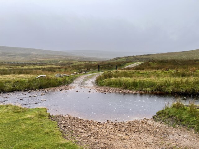
Beck Crooks Plain is a picturesque and serene area located in the heart of Yorkshire, England. Nestled between the breathtaking Yorkshire Downs and the sprawling Moorland, this region offers a truly captivating and diverse landscape for visitors to explore.
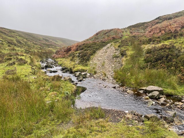
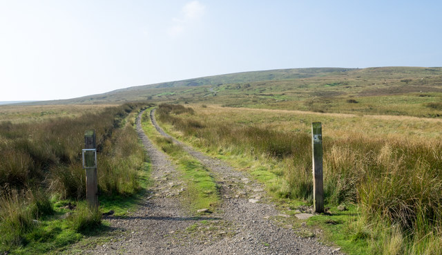
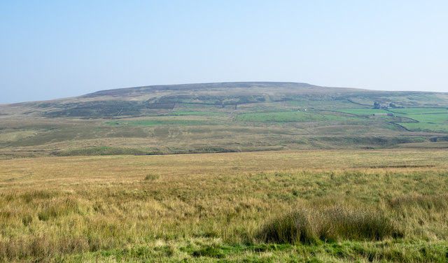
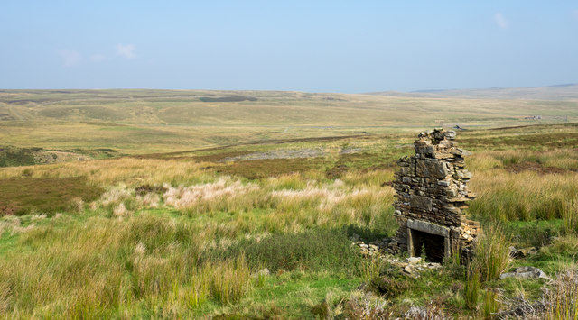
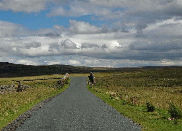
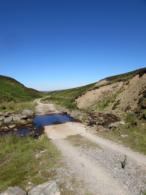
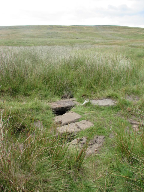
The area is characterized by its rolling hills, vast open fields, and charming country lanes. The Yorkshire Downs, with their sweeping vistas and lush greenery, provide a stunning backdrop for outdoor enthusiasts and nature lovers. The Moorland, on the other hand, offers a wild and rugged terrain, with heather-covered moors and dramatic rocky outcrops.
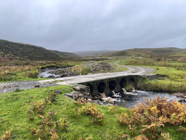
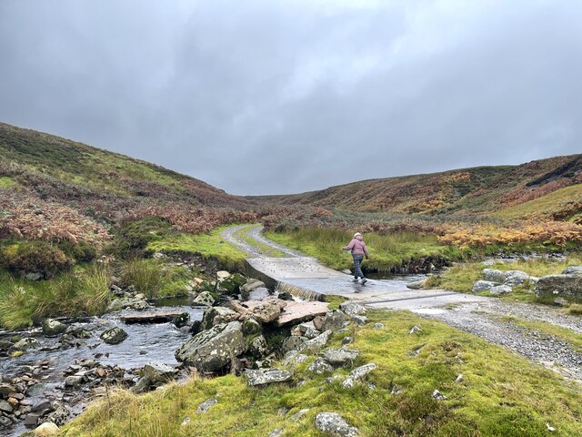
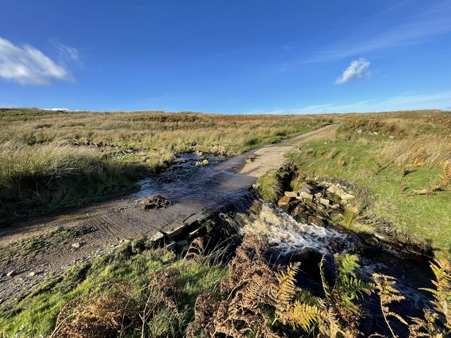
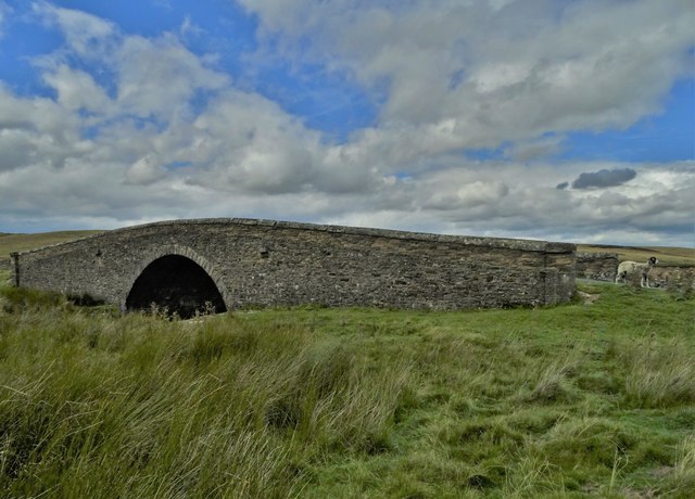
Beck Crooks Plain is renowned for its tranquil beauty, offering visitors a chance to escape the hustle and bustle of everyday life. The meandering beck, or stream, that runs through the plain adds to the idyllic atmosphere, creating a sense of calm and serenity.
The region is also home to a rich variety of wildlife, making it a popular destination for birdwatchers and nature enthusiasts. From the elusive red grouse to the majestic golden eagle, there is no shortage of fascinating creatures to spot in this area.
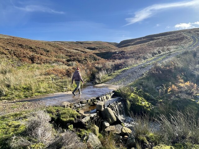
For those seeking adventure, there are plenty of opportunities for hiking, cycling, and horseback riding, with numerous trails and paths crisscrossing the landscape. Additionally, the area is dotted with charming villages and historic landmarks, allowing visitors to immerse themselves in the local culture and history.
In summary, Beck Crooks Plain in Yorkshire is a nature lover's paradise, offering a harmonious blend of stunning scenery, abundant wildlife, and a peaceful atmosphere. Whether you are seeking a peaceful retreat or an active outdoor adventure, this captivating region has something to offer everyone.
If you have any feedback on the listing, please let us know in the comments section below.
Beck Crooks Plain Images
Images are sourced within 2km of 54.461456/-2.0825436 or Grid Reference NY9407. Thanks to Geograph Open Source API. All images are credited.


Beck Crooks Plain is located at Grid Ref: NY9407 (Lat: 54.461456, Lng: -2.0825436)
Division: North Riding
Administrative County: North Yorkshire
District: Richmondshire
Police Authority: North Yorkshire
What 3 Words
///tabs.kingpin.object. Near Bowes, Co. Durham
Nearby Locations
Related Wikis

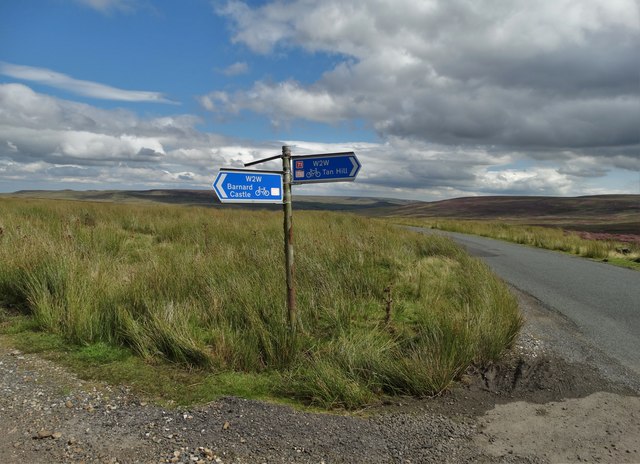
Walney to Wear and Whitby Cycle Route
The Walney to Wear and Whitby Cycle Route (or W2W) is the name of a cross-country cycle route in Northern England. It runs from Walney Island in Cumbria...
National Cycle Route 70
National Cycle Network (NCN) Route 70 is a Sustrans National Route that runs from Walney Island in Cumbria to Sunderland. The route is fully open and signed...

Sleightholme
Sleightholme is a secluded hamlet on a dead end road in County Durham, England. It lies beside Sleightholme Beck, a tributary of the River Greta. The...

Arkengarthdale
Arkengarthdale is a dale, or valley, on the east side of the Pennines in North Yorkshire, England. Running roughly north-west to south-east, it is the...

Arkengarthdale Gunnerside and Reeth Moors
Arkengarthdale Gunnerside and Reeth Moors (grid reference NY935070 and SD970990) is a 7,634.72 hectares (18,865.8 acres) biological Site of Special Scientific...

Bowes Moor
Bowes Moor is a Site of Special Scientific Interest in the County Durham district in south-west County Durham, England. It is an extensive area of moorland...

Whaw
Whaw is a hamlet in Arkengarthdale in North Yorkshire, England. It is one of few settlements in the dale and is one of the smallest. Its name derives from...
Arkle Beck Meadows, Whaw
Arkle Beck Meadows, Whaw (grid reference NY984041) is a 8.4 hectares (21 acres) biological Site of Special Scientific Interest (SSSI) at Whaw in Arkengarthdale...
Nearby Amenities
Located within 500m of 54.461456,-2.0825436Have you been to Beck Crooks Plain?
Leave your review of Beck Crooks Plain below (or comments, questions and feedback).