Rossen Clough
Valley in Cheshire
England
Rossen Clough
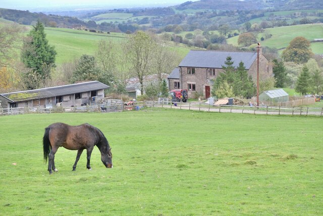
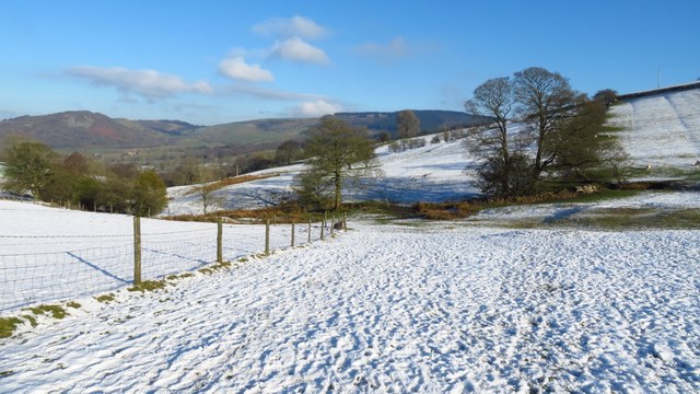
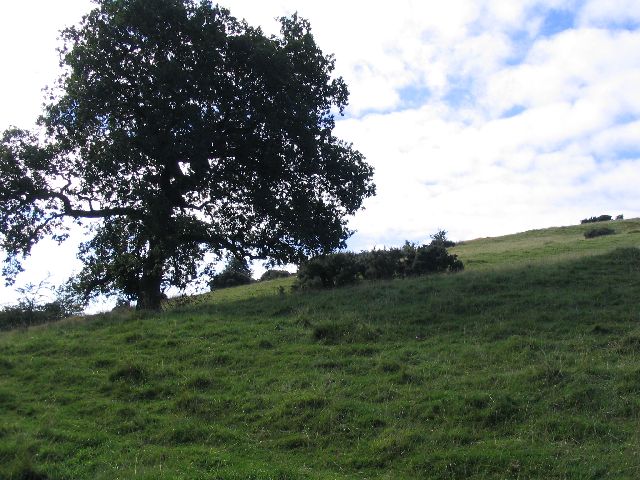
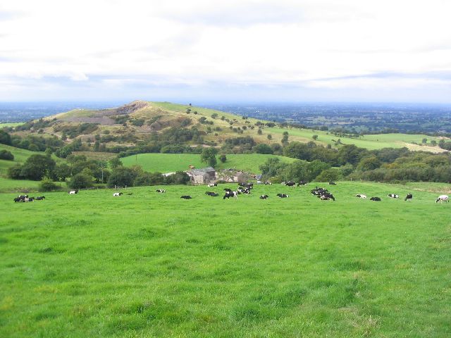
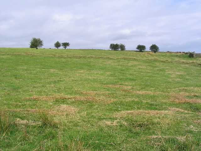
Rossen Clough is a small village located in the county of Cheshire, England. Situated in the picturesque Cheshire Valley, it is renowned for its stunning natural beauty and tranquil surroundings. The village is nestled amidst rolling hills and lush green meadows, providing residents and visitors with a sense of tranquility and serenity.
The name "Rossen Clough" is derived from the Old English words "rosen" and "clough," meaning "a valley with wild roses." This name perfectly encapsulates the essence of the village, as it is known for its abundant flora, including vibrant wild roses that dot the landscape during the summer months.
The village has a rich history dating back several centuries, with evidence of human habitation in the area since the medieval period. This is reflected in the charming architecture of the village, with traditional cottages and stone houses lining the streets.
Despite its small size, Rossen Clough boasts a strong sense of community spirit, with locals actively involved in various community initiatives and events. The village is home to a primary school, a village hall, and a quaint parish church, which serves as a focal point for religious and social gatherings.
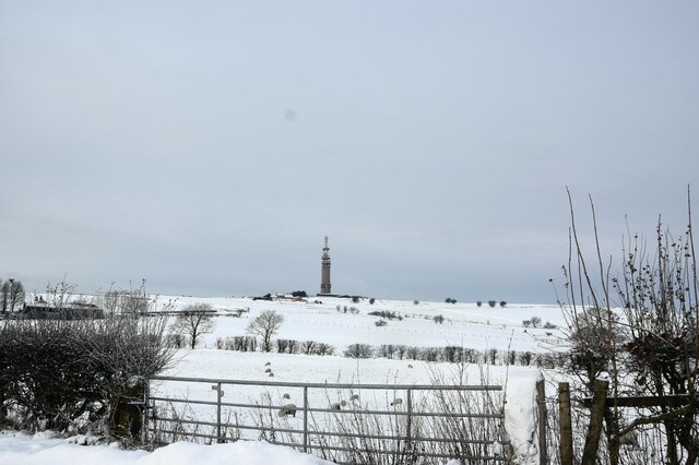
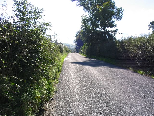
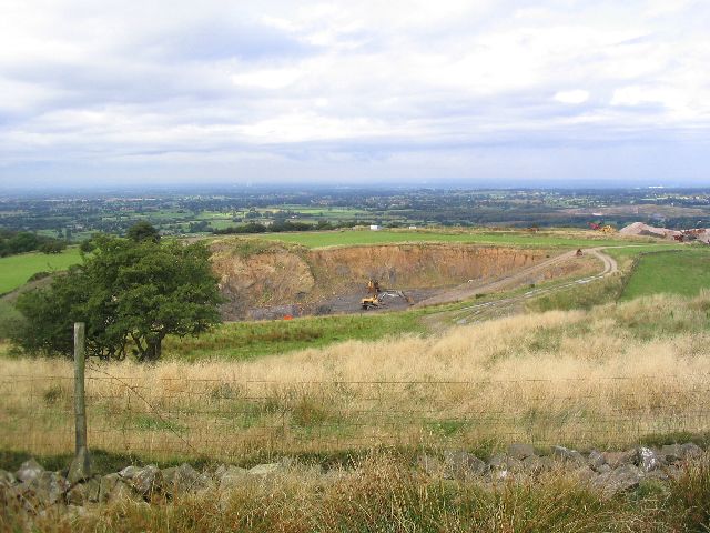
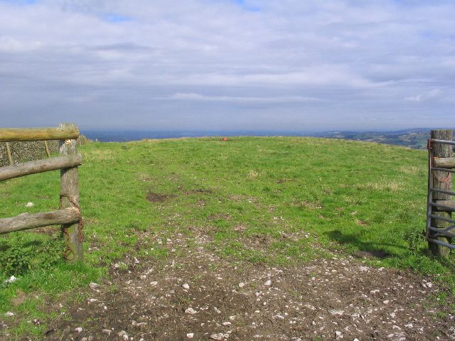
Rossen Clough is an ideal destination for nature enthusiasts and outdoor lovers, offering ample opportunities for walking, hiking, and exploring the surrounding countryside. The nearby Cheshire Valley provides stunning panoramic views and is a haven for wildlife, with many rare and protected species found in the area.
In conclusion, Rossen Clough is a charming village in Cheshire, known for its natural beauty, rich history, and strong community spirit. Whether it's exploring the picturesque countryside or simply enjoying the peaceful atmosphere, visitors to Rossen Clough are sure to be captivated by its timeless charm.
If you have any feedback on the listing, please let us know in the comments section below.
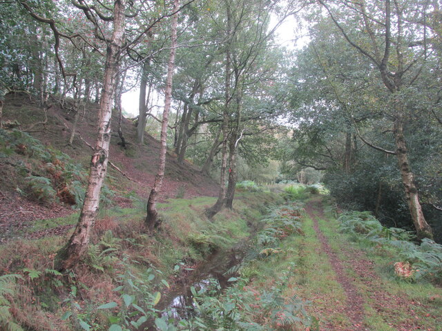
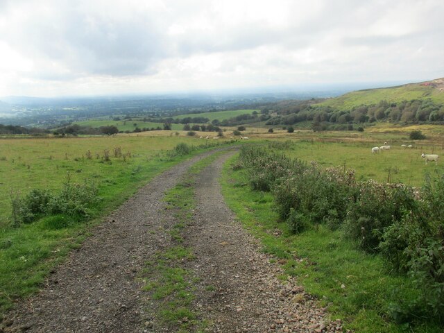
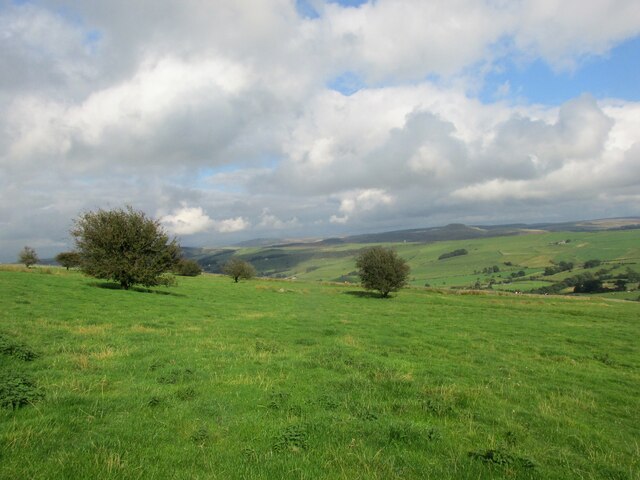
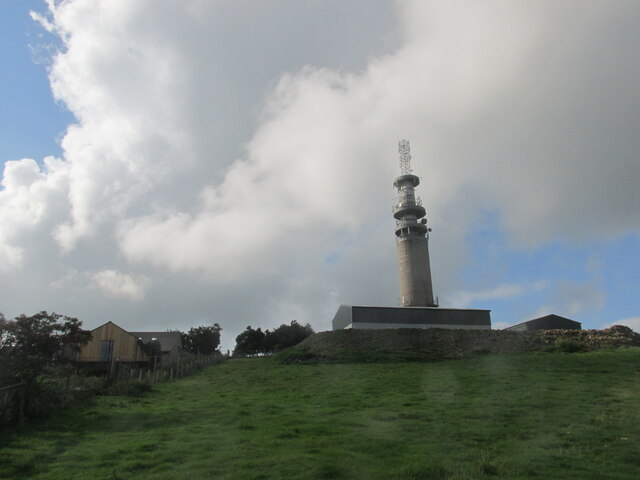
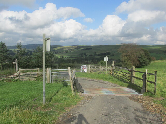
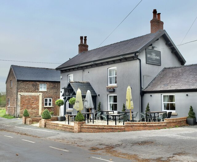
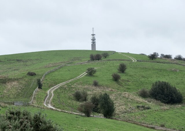
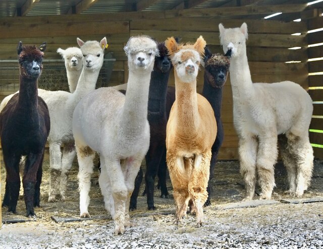
Rossen Clough Images
Images are sourced within 2km of 53.214854/-2.0925344 or Grid Reference SJ9368. Thanks to Geograph Open Source API. All images are credited.
Rossen Clough is located at Grid Ref: SJ9368 (Lat: 53.214854, Lng: -2.0925344)
Unitary Authority: Cheshire East
Police Authority: Cheshire
What 3 Words
///view.woes.rails. Near Macclesfield, Cheshire
Nearby Locations
Related Wikis

Croker Hill
Croker Hill stands just outside the western edge of the Peak District national park, overlooking Congleton in Cheshire. Near the summit stands the Sutton...

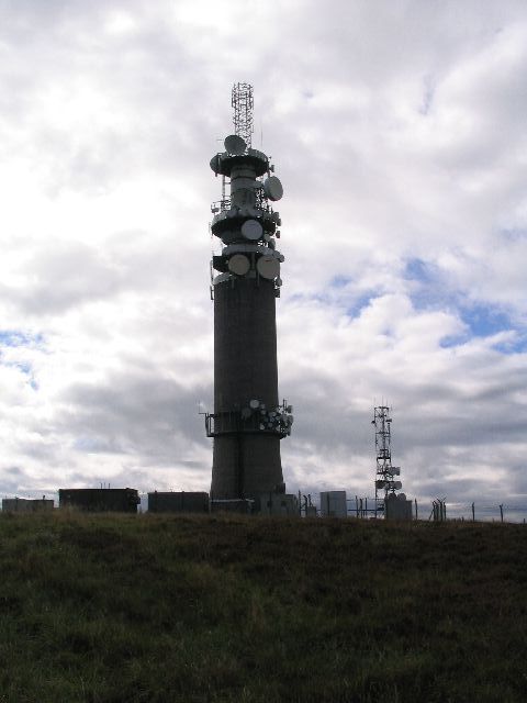
Sutton Common BT Tower
Sutton Common BT Tower is a 72-metre (238-foot) radio tower built of reinforced concrete at Macclesfield, Cheshire, England. Sutton Common was originally...

Silk 106.9
Cheshire's Silk Radio is an Independent Local Radio serving Macclesfield and parts of East Cheshire, owned and operated by neighbouring station Chester...

Bosley Minn
Bosley Minn is one of two names – the other being Wincle Minn – given to a prominent hill in southeast Cheshire and in the southwestern corner of the Peak...
Nearby Amenities
Located within 500m of 53.214854,-2.0925344Have you been to Rossen Clough?
Leave your review of Rossen Clough below (or comments, questions and feedback).