Sutton Common
Downs, Moorland in Cheshire
England
Sutton Common
Sutton Common is a picturesque area located in Cheshire, England. Known for its stunning natural beauty, it encompasses both downs and moorland landscapes. Stretching over a vast expanse, Sutton Common is a popular destination for nature lovers and outdoor enthusiasts.
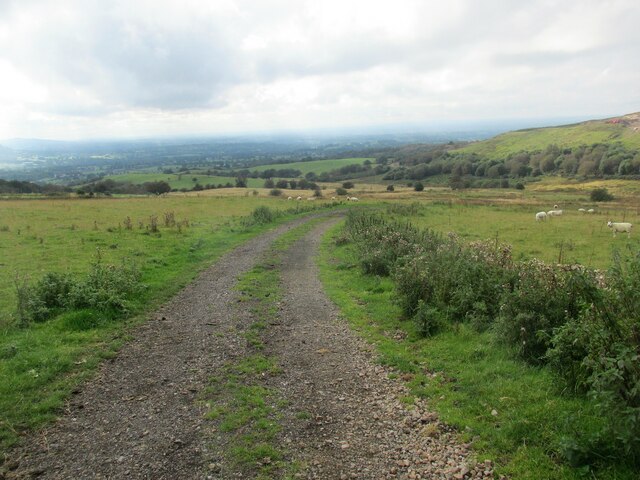
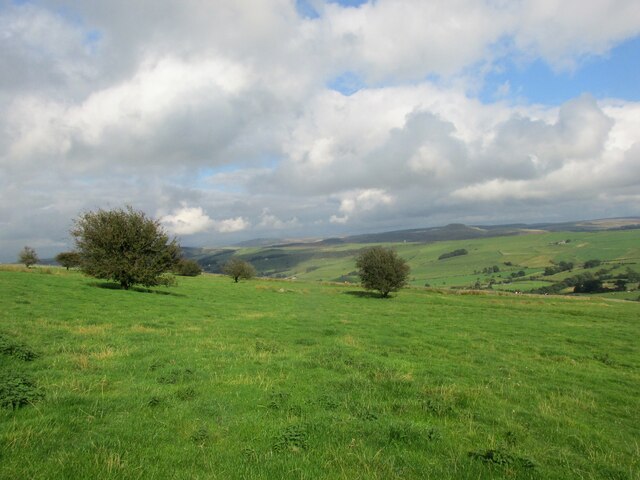
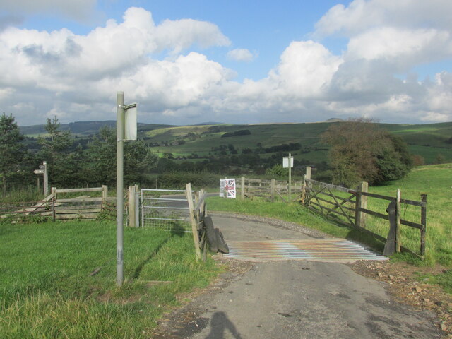
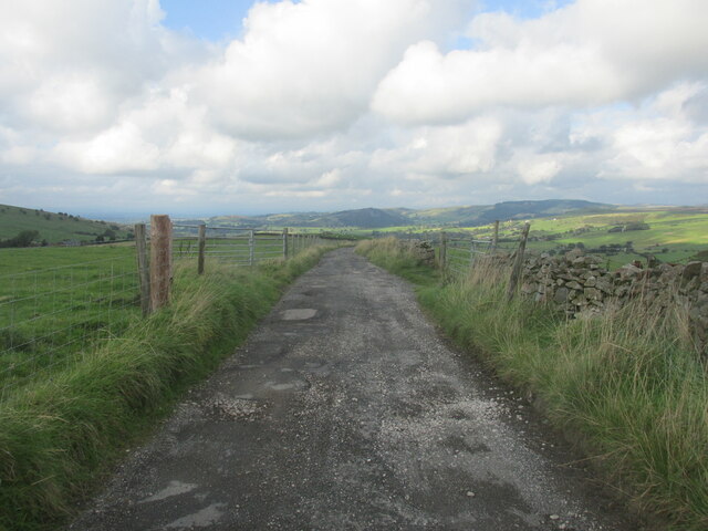
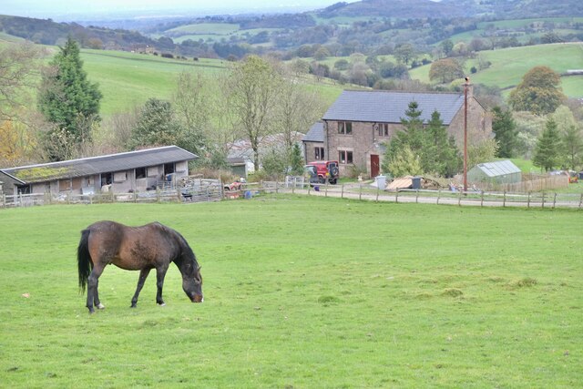
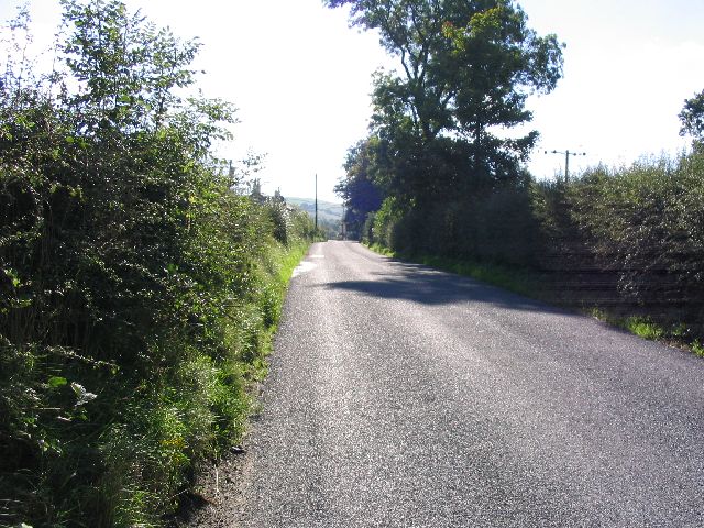
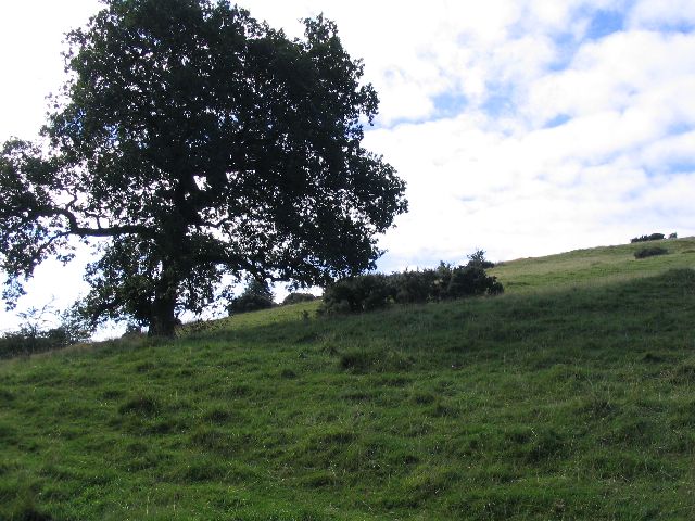
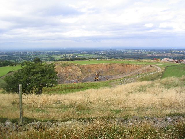
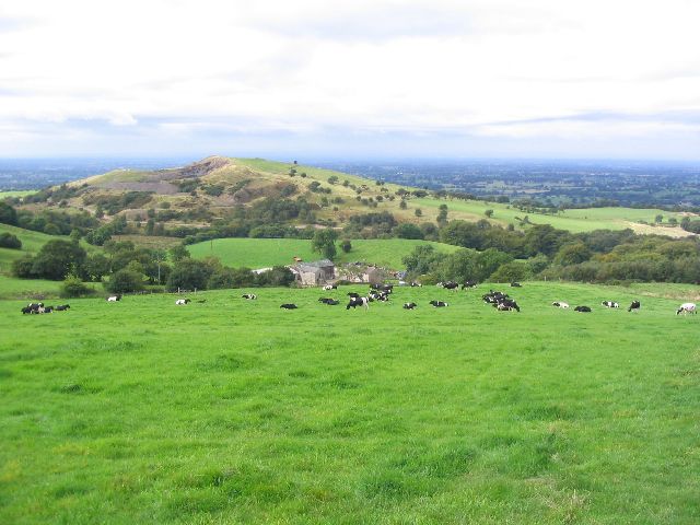
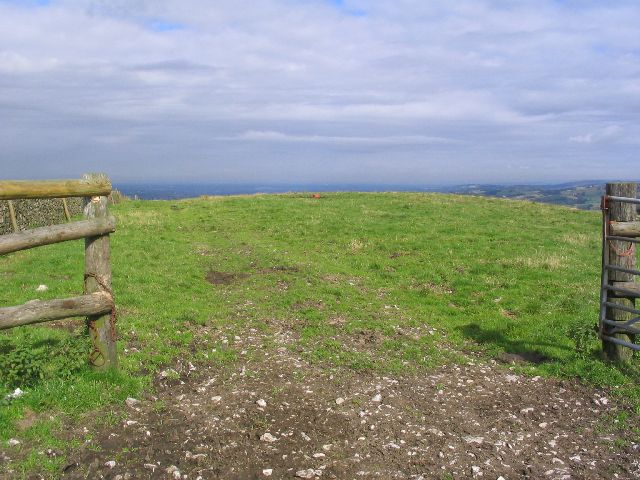
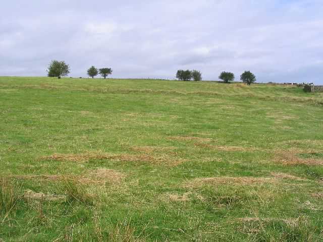
The downs of Sutton Common offer rolling hills and expansive fields, providing a serene environment for walking, hiking, and picnicking. The lush greenery and open spaces make it an ideal spot for families and individuals looking to escape the hustle and bustle of city life. Visitors can enjoy breathtaking views of the surrounding countryside from various vantage points throughout the downs.
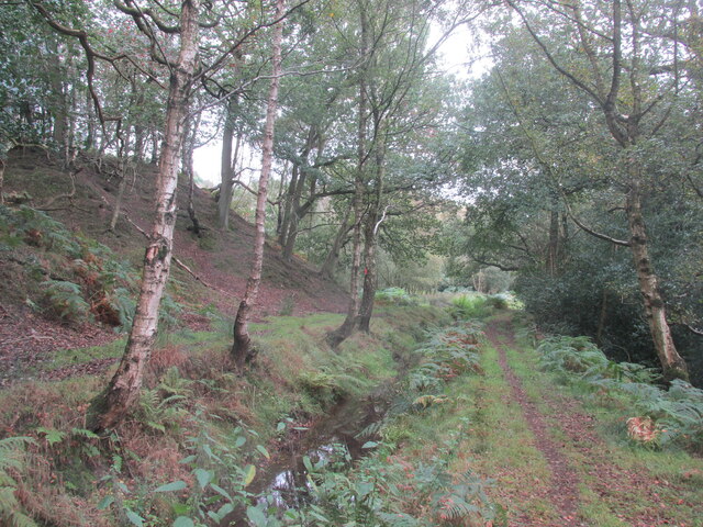
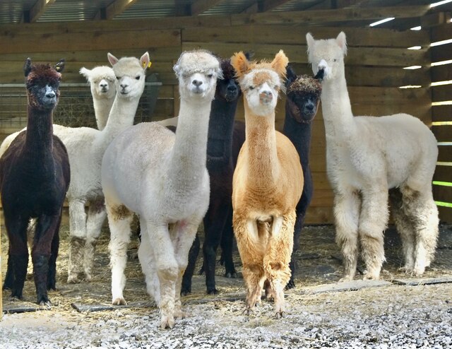
In contrast, the moorland of Sutton Common presents a more rugged and wild terrain. Here, visitors can explore heathlands, peat bogs, and scattered trees. The moorland is home to a diverse range of plant and animal species, including heather, bilberry, and various species of birds. It is a haven for birdwatchers and nature photographers seeking to capture the beauty of the area's wildlife.
Sutton Common is also steeped in history, with evidence of human habitation dating back to prehistoric times. Archaeological sites, such as burial mounds and ancient settlements, can be found scattered throughout the area, adding an intriguing historical dimension to the natural landscape.
Overall, Sutton Common is a hidden gem in Cheshire, offering a harmonious blend of downs and moorland. With its natural beauty and historical significance, it is a place that attracts visitors from near and far, providing a tranquil escape for anyone seeking solace in nature.
If you have any feedback on the listing, please let us know in the comments section below.
Sutton Common Images
Images are sourced within 2km of 53.209203/-2.0998738 or Grid Reference SJ9368. Thanks to Geograph Open Source API. All images are credited.
Sutton Common is located at Grid Ref: SJ9368 (Lat: 53.209203, Lng: -2.0998738)
Unitary Authority: Cheshire East
Police Authority: Cheshire
What 3 Words
///frosted.jars.artist. Near Macclesfield, Cheshire
Nearby Locations
Related Wikis

Croker Hill
Croker Hill stands just outside the western edge of the Peak District national park, overlooking Congleton in Cheshire. Near the summit stands the Sutton...

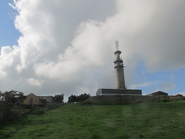
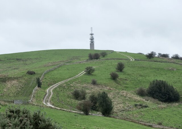
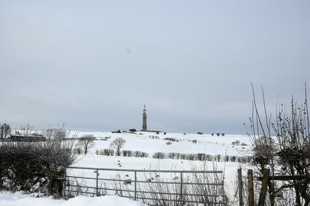
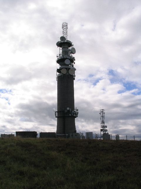
Sutton Common BT Tower
Sutton Common BT Tower is a 72-metre (238-foot) radio tower built of reinforced concrete at Macclesfield, Cheshire, England. Sutton Common was originally...

Silk 106.9
Cheshire's Silk Radio is an Independent Local Radio serving Macclesfield and parts of East Cheshire, owned and operated by neighbouring station Chester...

Bosley Minn
Bosley Minn is one of two names – the other being Wincle Minn – given to a prominent hill in southeast Cheshire and in the southwestern corner of the Peak...
Nearby Amenities
Located within 500m of 53.209203,-2.0998738Have you been to Sutton Common?
Leave your review of Sutton Common below (or comments, questions and feedback).