Hill of Rossenclowes
Hill, Mountain in Cheshire
England
Hill of Rossenclowes

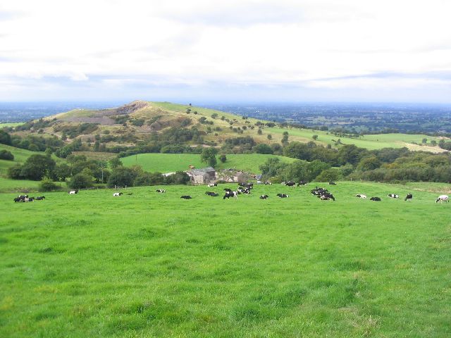
The Hill of Rossenclowes, located in Cheshire, England, is a prominent geographical feature that stands as a testament to the region's natural beauty. While not classified as a mountain, the Hill of Rossenclowes is a notable hill that offers picturesque views of the surrounding countryside.
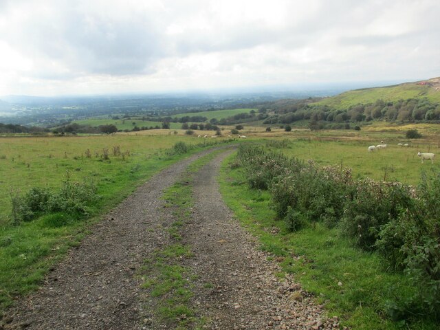
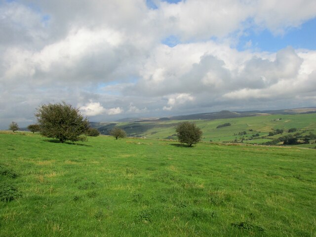
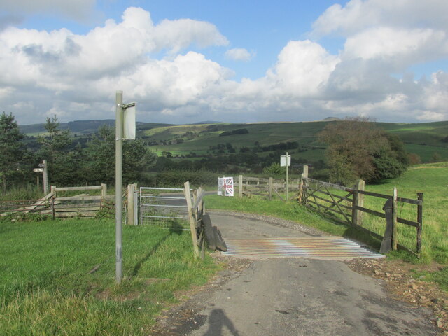
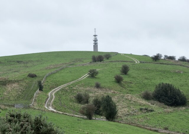
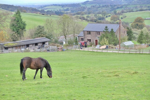
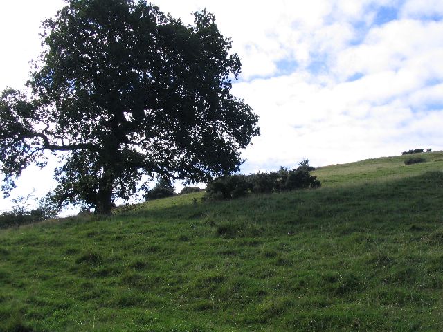
Rising to an elevation of approximately 250 meters (820 feet), the hill is characterized by its gentle slopes and lush vegetation. The landscape surrounding the Hill of Rossenclowes is predominantly rural, with rolling hills, fields, and meadows stretching as far as the eye can see. The area is known for its rich agricultural tradition, and the hill itself is often used for grazing livestock.
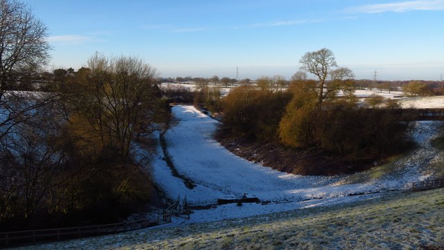
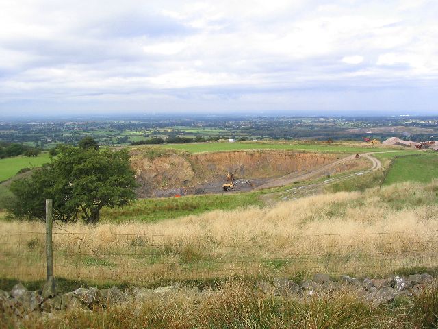
At the summit of the Hill of Rossenclowes, visitors are rewarded with panoramic vistas of the Cheshire Plain and the distant peaks of the Peak District National Park. On a clear day, the view extends for miles, offering a breathtaking perspective of the surrounding countryside.
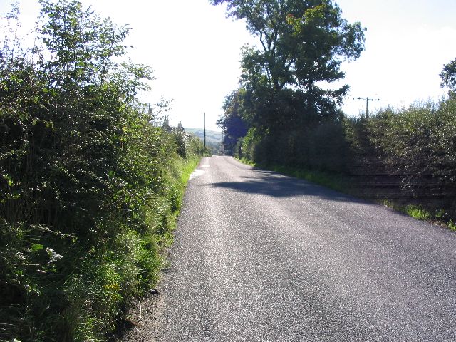
Hikers and nature enthusiasts are drawn to the Hill of Rossenclowes, as it provides ample opportunities for outdoor activities. Several footpaths and trails traverse the hill, allowing visitors to explore the area and soak in its natural splendor. The hill's accessibility and relatively gentle slopes make it a popular destination for both experienced hikers and those seeking a leisurely stroll in the countryside.
Overall, the Hill of Rossenclowes is a captivating natural feature in Cheshire, offering a tranquil escape from the hustle and bustle of everyday life. Its scenic beauty, coupled with its accessibility, makes it a must-visit destination for nature lovers and outdoor enthusiasts alike.
If you have any feedback on the listing, please let us know in the comments section below.
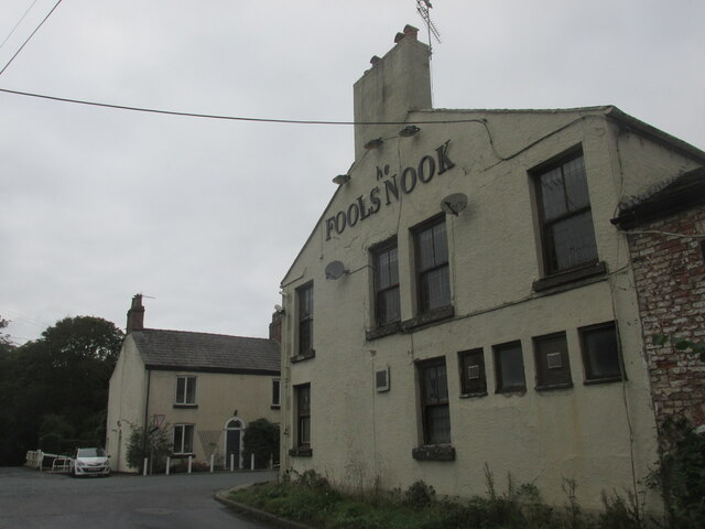
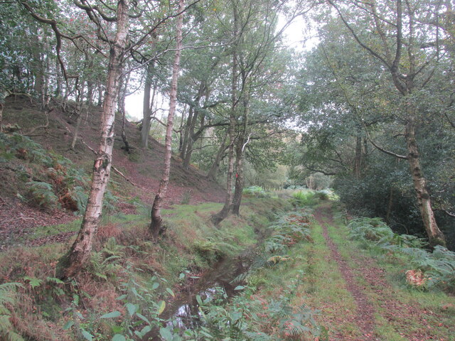
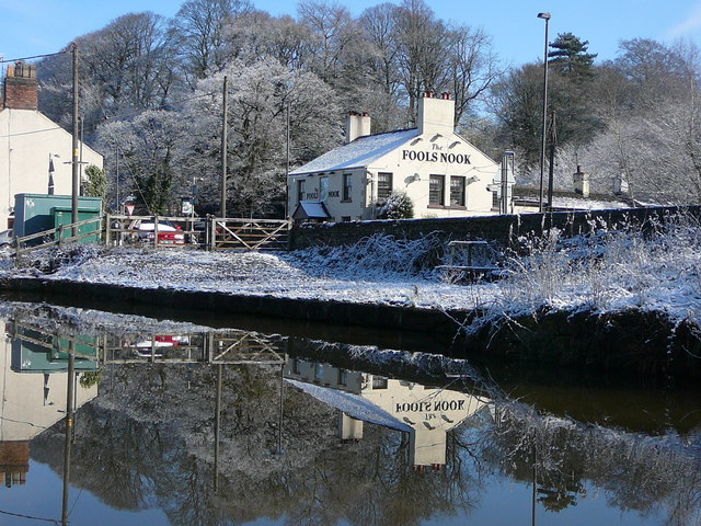
Hill of Rossenclowes Images
Images are sourced within 2km of 53.216967/-2.1027523 or Grid Reference SJ9368. Thanks to Geograph Open Source API. All images are credited.
Hill of Rossenclowes is located at Grid Ref: SJ9368 (Lat: 53.216967, Lng: -2.1027523)
Unitary Authority: Cheshire East
Police Authority: Cheshire
What 3 Words
///starts.amuse.brings. Near Macclesfield, Cheshire
Nearby Locations
Related Wikis

Croker Hill
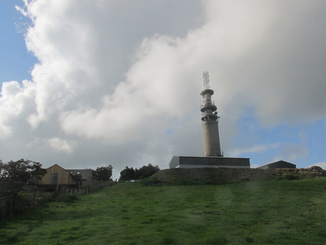
Croker Hill stands just outside the western edge of the Peak District national park, overlooking Congleton in Cheshire. Near the summit stands the Sutton...

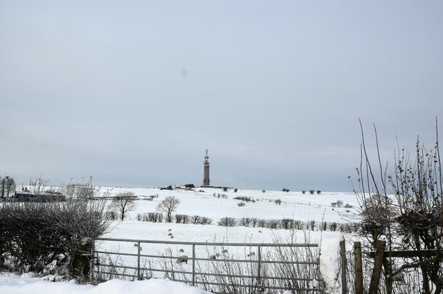
Sutton Common BT Tower
Sutton Common BT Tower is a 72-metre (238-foot) radio tower built of reinforced concrete at Macclesfield, Cheshire, England. Sutton Common was originally...

Silk 106.9
Cheshire's Silk Radio is an Independent Local Radio serving Macclesfield and parts of East Cheshire, owned and operated by neighbouring station Chester...
Oakgrove, Cheshire
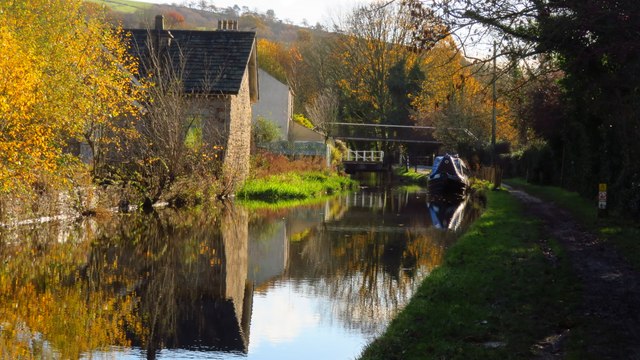
Oakgrove is a village in Cheshire, England. It is part of the civil parish of Sutton and is situated on the Macclesfield Canal which is crossed here by...
Nearby Amenities
Located within 500m of 53.216967,-2.1027523Have you been to Hill of Rossenclowes?
Leave your review of Hill of Rossenclowes below (or comments, questions and feedback).