Scrog Hill

Hill, Mountain in Durham

England

Scrog Hill

Sheep in fields east of farm at Rose Hill Expectant sheep occupy and graze these fields; at least one of them, nearest the camera, has already produced a lamb.
Sheep in fields east of farm at Rose Hill Credit: Trevor Littlewood

Scrog Hill, located in Durham, is a prominent hill or small mountain that offers stunning views and recreational opportunities for both locals and visitors alike. With an elevation of approximately 500 feet, it stands as a testament to the natural beauty of the region.

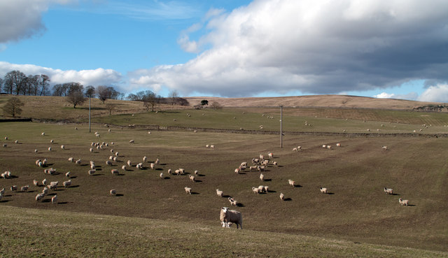
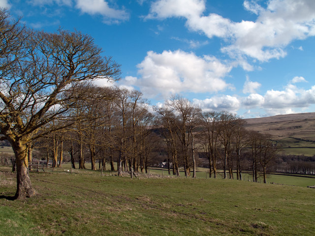
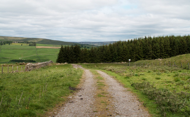
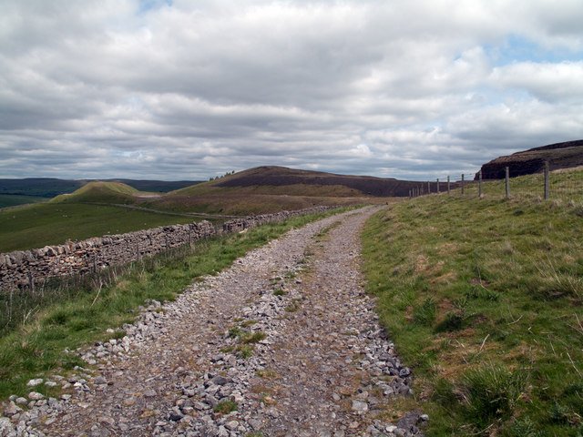
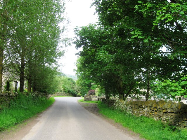
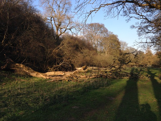
The hill is characterized by its lush greenery and diverse flora, making it an ideal location for hiking and nature walks. The trails winding up the hill provide an immersive experience through picturesque landscapes and serene surroundings. Along the way, hikers can encounter a variety of plant and animal species, adding to the area's ecological significance.

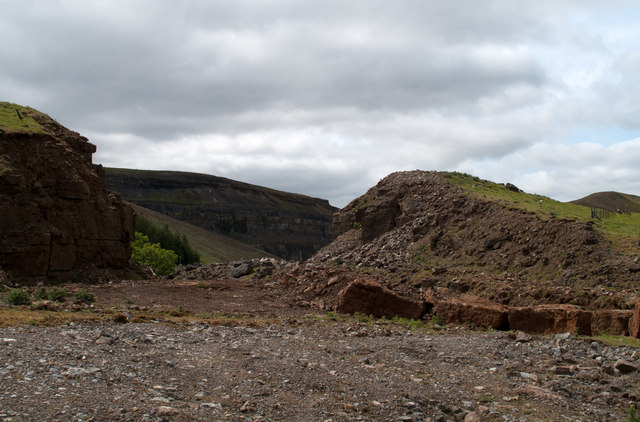
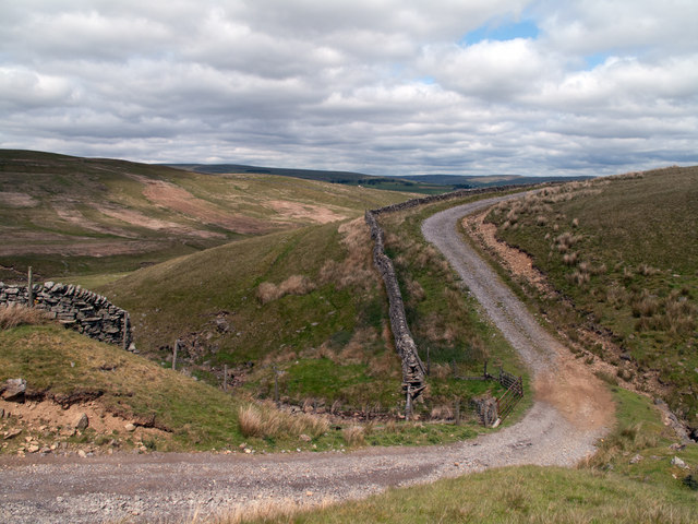
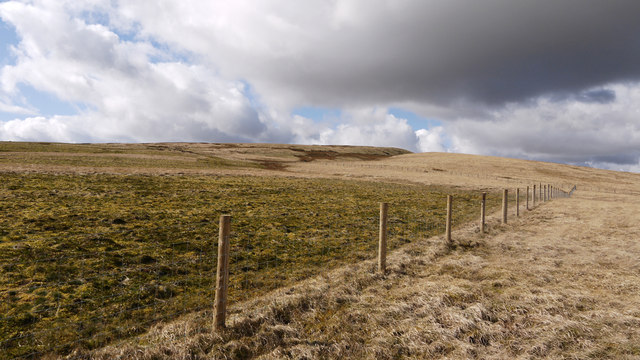
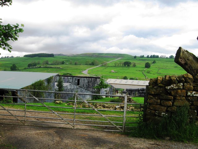
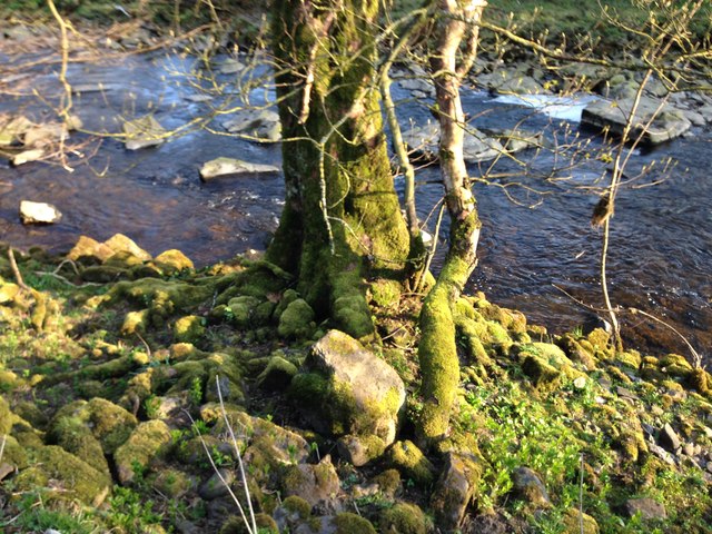
At the summit of Scrog Hill, one can enjoy panoramic views of the surrounding countryside, including valleys, meadows, and nearby bodies of water. On clear days, visitors can even catch glimpses of distant towns and landmarks.

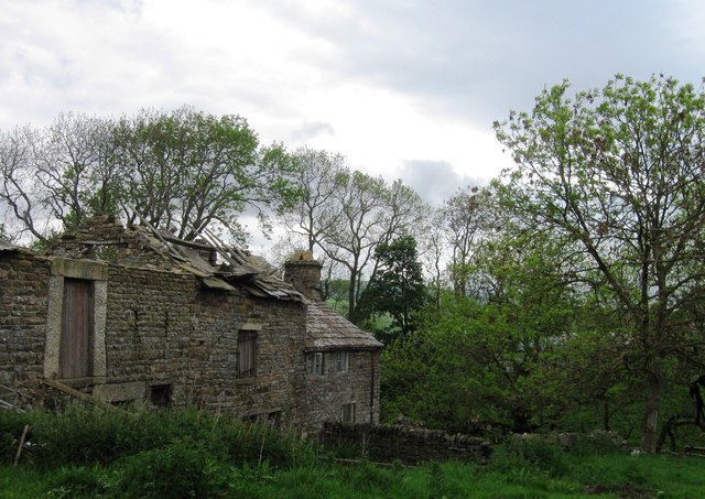
Scrog Hill also holds historical and cultural importance for the local community. It has been a popular site for outdoor events, such as picnics, concerts, and festivals, providing a communal space for residents to gather and enjoy the outdoors.

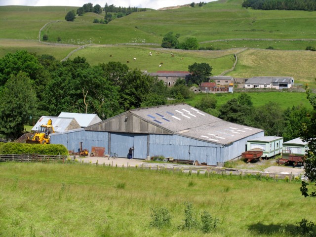
Furthermore, the hill is easily accessible, with well-maintained roads leading up to its base and ample parking facilities. This accessibility has contributed to its popularity among outdoor enthusiasts, families, and nature lovers.

In conclusion, Scrog Hill in Durham is a scenic and culturally significant location, offering breathtaking views, diverse flora and fauna, and recreational opportunities for all who visit. Whether it be for a leisurely stroll, a family picnic, or simply admiring the natural beauty, Scrog Hill provides a memorable experience in the heart of Durham.

If you have any feedback on the listing, please let us know in the comments section below.
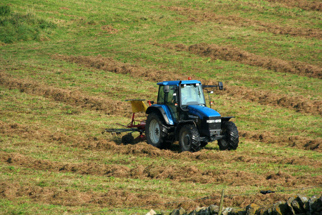
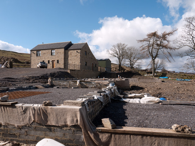
Scrog Hill Images

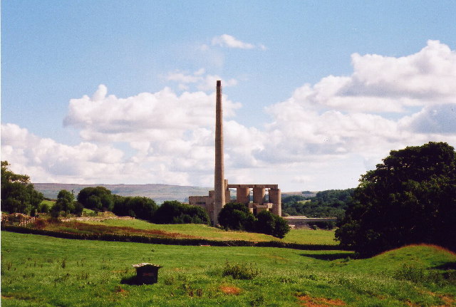
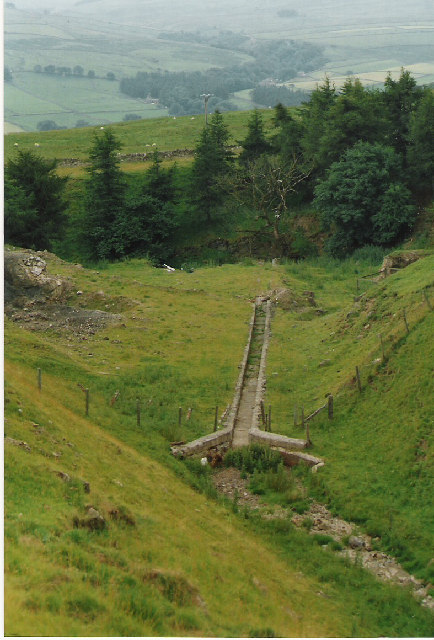
Images are sourced within 2km of 54.732811/-2.1065917 or Grid Reference NY9337. Thanks to Geograph Open Source API. All images are credited.

Sheep in fields east of farm at Rose Hill Expectant sheep occupy and graze these fields; at least one of them, nearest the camera, has already produced a lamb.
Sheep in fields east of farm at Rose Hill
Expectant sheep occupy and graze these fields; at least one of them, nearest the camera, has already produced a lamb.
South Eastgate Plantation Plantations are normally large and densely packed with coniferous trees; South Eastgate Plantation is small and thinly populated with broadleaved trees.
South Eastgate Plantation
Plantations are normally large and densely packed with coniferous trees; South Eastgate Plantation is small and thinly populated with broadleaved trees.
Quarry of 'Weardale Works' Weardale has seen massive amounts of rock quarried from its sides and no larger working exists in the valley than the old Blue Circle, later Lafarge operation on the south side which supplied limestone by conveyor to the cement works at Eastgate; OS mapping names the area as 'Weardale Works'.
Soon after the Lafarge purchase quarrying and cement manufacture ceased and the cement works at Eastgate was erased. Similarly the quarrying operation ended and the quarry area has been landscaped.
Once a public footpath cut across the north end of the quarry site; it was closed during the period of extraction but it seems that it might be reopened in the future; the image here was taken from the probable line of the path and shows distantly part of the quarry face beyond nearer workings.
Quarry of 'Weardale Works'
Weardale has seen massive amounts of rock quarried from its sides and no larger working exists in the valley than the old Blue Circle, later Lafarge operation on the south side which supplied limestone by conveyor to the cement works at Eastgate; OS mapping names the area as 'Weardale Works'. Soon after the Lafarge purchase quarrying and cement manufacture ceased and the cement works at Eastgate was erased. Similarly the quarrying operation ended and the quarry area has been landscaped. Once a public footpath cut across the north end of the quarry site; it was closed during the period of extraction but it seems that it might be reopened in the future; the image here was taken from the probable line of the path and shows distantly part of the quarry face beyond nearer workings.
Estate road crossing Yew Cleugh An estate/farm road enters the Weardale side valley of Western Hope keeping above the east side of the Westernhope Burn. That road is seen here descending to cross the minor stream of Yew Cleugh; the view is northwards.
Estate road crossing Yew Cleugh
An estate/farm road enters the Weardale side valley of Western Hope keeping above the east side of the Westernhope Burn. That road is seen here descending to cross the minor stream of Yew Cleugh; the view is northwards.
South-west corner of Ludwell Wood Ludwell Wood lies to the east of the valley of Western Hope; it's seen in this image from an estate road to the south on the same side of Western Hope.
South-west corner of Ludwell Wood
Ludwell Wood lies to the east of the valley of Western Hope; it's seen in this image from an estate road to the south on the same side of Western Hope.
Estate road in Western Hope An estate road enters Western Hope on its eastern side where for some distance it runs at the lower edge of the 'Weardale Works', now disused. The 'Works' was a limestone quarrying operation which cut and crushed the rock then transported it by conveyor down to the floor of the Wear Valley at Eastgate for the manufacture of cement at the Blue Circle plant there. The mounds in the distance are landscaped spoil heaps of the quarry; the road runs below there too.
Estate road in Western Hope
An estate road enters Western Hope on its eastern side where for some distance it runs at the lower edge of the 'Weardale Works', now disused. The 'Works' was a limestone quarrying operation which cut and crushed the rock then transported it by conveyor down to the floor of the Wear Valley at Eastgate for the manufacture of cement at the Blue Circle plant there. The mounds in the distance are landscaped spoil heaps of the quarry; the road runs below there too.
Storage shed
Storage shed
Herding Sheep
Herding Sheep
Ludwell Haymaking in fields on Ludwell Farm.
Ludwell
Haymaking in fields on Ludwell Farm.
Old and new at Littlewood Farm A curious situation here where the foundations of the new build in front of the camera seem to have been installed across the line of a public footpath or at least very close to it!
The footpath arises from a minor road on the south side of the River Wear and rises south-east towards what were the abandoned buildings at Littlewood Farm, the route being less than straightforward to follow even before this location. It's assumed that the route is still a current right of way - there's a finger post in place where the path leaves the road and no indication of any variation from the mapped line.
Old and new at Littlewood Farm
A curious situation here where the foundations of the new build in front of the camera seem to have been installed across the line of a public footpath or at least very close to it! The footpath arises from a minor road on the south side of the River Wear and rises south-east towards what were the abandoned buildings at Littlewood Farm, the route being less than straightforward to follow even before this location. It's assumed that the route is still a current right of way - there's a finger post in place where the path leaves the road and no indication of any variation from the mapped line.
Slope rising to Blackhill End This is the western side of Western Hope, a tributary valley of the River Wear.
There appears to be some sort of experimental work going on here; the fence in the image has clearly been installed recently and demarcates vegetation cover. Outside the enclosed area the dead grass strands of the previous year's growth remain but inside they're missing - obviously removed by some means. There are areas of the unkempt vegetation within the fenced area as well and a pattern exists with the two types of vegetation cover alternating.
Slope rising to Blackhill End
This is the western side of Western Hope, a tributary valley of the River Wear. There appears to be some sort of experimental work going on here; the fence in the image has clearly been installed recently and demarcates vegetation cover. Outside the enclosed area the dead grass strands of the previous year's growth remain but inside they're missing - obviously removed by some means. There are areas of the unkempt vegetation within the fenced area as well and a pattern exists with the two types of vegetation cover alternating.
Westernhopeburn
Westernhopeburn
Westernhopeburn
Westernhopeburn
Ruin, Westernhopeburn
Fallen tree This tree came down over the Winter. Gravity is gradually smashing the tree into the ground.
Fallen tree
This tree came down over the Winter. Gravity is gradually smashing the tree into the ground.
Westgate Moss This moss covers trees, walls and rocks all over Westgate.
Westgate Moss
This moss covers trees, walls and rocks all over Westgate.
Former Eastgate Cement Works Lafarge closed the Eastgate cement works in 2003. Most of the plant has since been demolished.
Former Eastgate Cement Works
Lafarge closed the Eastgate cement works in 2003. Most of the plant has since been demolished.
Park Burn and Plantation The stream here has been run in a channel, presumably to keep it away from some mine shafts nearby.
Park Burn and Plantation
The stream here has been run in a channel, presumably to keep it away from some mine shafts nearby.
Show me another place!

Scrog Hill is located at Grid Ref: NY9337 (Lat: 54.732811, Lng: -2.1065917)

Unitary Authority: County Durham

Police Authority: Durham

What 3 Words

///crackles.signed.cluttered. Near Stanhope, Co. Durham

Related Wikis

Westernhope Burn Wood

Westernhope Burn Wood is a Site of Special Scientific Interest in the Wear Valley district of south-west County Durham, England. It occupies the steeply...

Brotherlee

Brotherlee is a small village in the civil parish of Stanhope, in County Durham, England situated on the south side of Weardale, between Stanhope and Daddry...

Weardale campaign

The Weardale campaign, part of the First War of Scottish Independence, occurred during July and August 1327 in Weardale, England. A Scottish force under...

A689 road

The A689 is a road in northern England that runs east from the A595, 3.1 miles (5.0 km) to the west of Carlisle in Cumbria, to Hartlepool in County Durham...

Nearby Amenities

Located within 500m of 54.732811,-2.1065917
Western Hopeburn
Place: farm
Source Name: OS OpenData StreetView
Lat/Long: 54.7362174/-2.101661
The data included in this document is from www.openstreetmap.org. The data is made available under ODbL.

Have you been to Scrog Hill?

Leave your review of Scrog Hill below (or comments, questions and feedback).