The Valley

Valley in Aberdeenshire

Scotland

The Valley

Frosty dawn at Bridge of Don Day breaks over the North Sea on the last day of the year
Frosty dawn at Bridge of Don Credit: Alan Reid

The Valley, located in Aberdeenshire, Scotland, is a picturesque rural area nestled between the River Dee and the hills of the Cairngorms National Park. Known for its stunning natural beauty, The Valley is a popular destination for outdoor enthusiasts and nature lovers.

The area offers a diverse range of landscapes, including rolling hills, lush green fields, and dense forests, making it an ideal location for hiking, cycling, and wildlife spotting. The River Dee, which runs through The Valley, is famous for its salmon fishing, attracting anglers from all over the world.

The Valley is also home to several charming villages and towns, each with its own unique character. These include Ballater, a quaint village with traditional Scottish architecture and a thriving local community, and Braemar, known for its stunning Highland scenery and its famous Braemar Gathering, a traditional Highland Games event.

In addition to its natural beauty, The Valley boasts a rich history and cultural heritage. The area is dotted with historical landmarks, such as Balmoral Castle, the Scottish residence of the Royal Family, and the ruins of Braemar Castle, which dates back to the 17th century.

The Valley is also renowned for its local produce, including Scotch whisky, Aberdeen Angus beef, and traditional Scottish delicacies. Visitors can enjoy exploring local distilleries, farm shops, and restaurants, where they can sample the region's finest offerings.

Overall, The Valley in Aberdeenshire offers a unique blend of natural beauty, outdoor activities, history, and culture, making it a must-visit destination for those seeking an authentic Scottish experience.

If you have any feedback on the listing, please let us know in the comments section below.
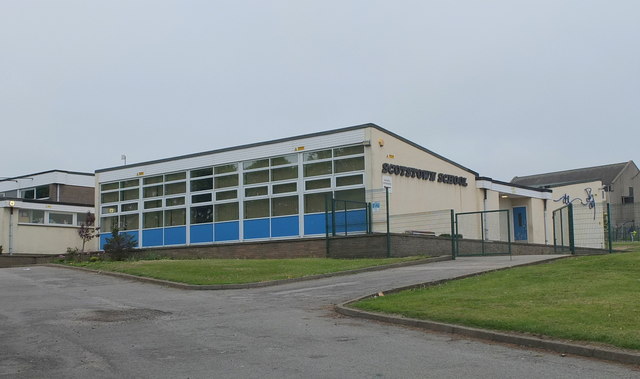
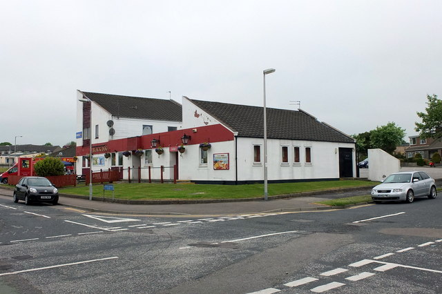
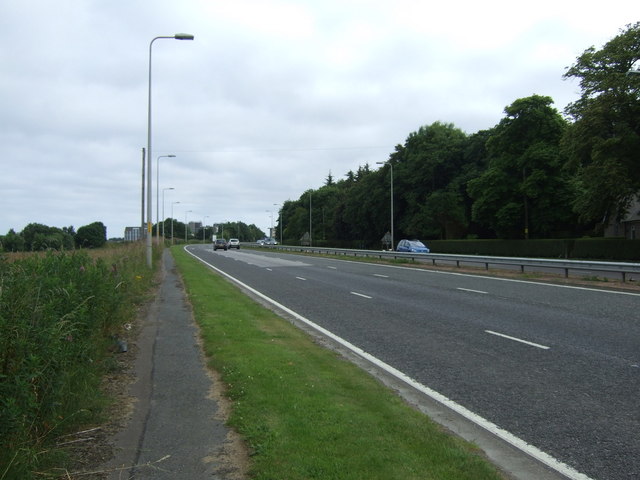
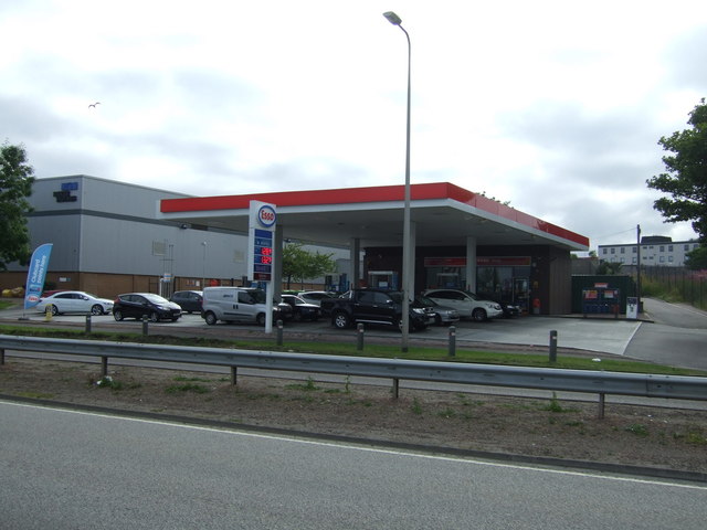
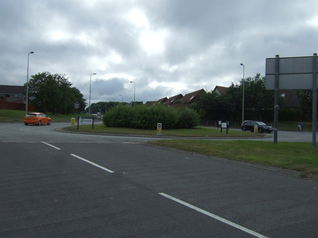
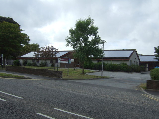
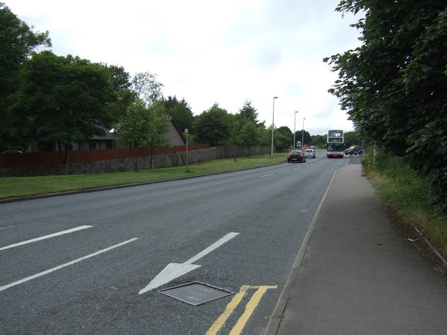
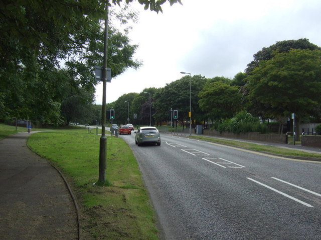
The Valley Images

Images are sourced within 2km of 57.18036/-2.1124129 or Grid Reference NJ9309. Thanks to Geograph Open Source API. All images are credited.

Frosty dawn at Bridge of Don Day breaks over the North Sea on the last day of the year
Frosty dawn at Bridge of Don
Day breaks over the North Sea on the last day of the year
The AECC
The AECC
Bridge of Don Baptist Church Centre
Bridge of Don Library Bridge of Don must be the ultimate 1970s suburb, with unimpressive public buildings to match...
Bridge of Don Library
Bridge of Don must be the ultimate 1970s suburb, with unimpressive public buildings to match...
Scotstown Surgery, Bridge of Don
Scotstown School, Bridge of Don, Aberdeen Built in the 1970s with the school name on the end of the building in the Profil typeface.  I thought this typeface was classic (dated) 1970s, but in fact it dates from 1946: <span class="nowrap"><a title="http://ultraboldblog.printweek.com/2009/02/28/profil/" rel="nofollow ugc noopener" href="http://ultraboldblog.printweek.com/2009/02/28/profil/">Link</a><img style="margin-left:2px;" alt="External link" title="External link - shift click to open in new window" src="https://s1.geograph.org.uk/img/external.png" width="10" height="10"/></span> .
Scotstown School, Bridge of Don, Aberdeen
Built in the 1970s with the school name on the end of the building in the Profil typeface. I thought this typeface was classic (dated) 1970s, but in fact it dates from 1946: LinkExternal link .
The Black Dog, Bridge of Don Interesting 1970s architecture..
The Black Dog, Bridge of Don
Interesting 1970s architecture..
Ellon Road (A90) heading south  Into Aberdeen.
Ellon Road (A90) heading south
Into Aberdeen.
Service station on the A90
Holiday Inn Express, Aberdeen Exhibition Centre
A90 heading south Into Aberdeen.
A90 heading south
Into Aberdeen.
Parkway East Heading east near the Aberdeen Exhibition Centre.
Parkway East
Heading east near the Aberdeen Exhibition Centre.
The Parkway (A90) Heading west.
The Parkway (A90)
Heading west.
Scotstown Roundabout A90 heading west.
Scotstown Roundabout
A90 heading west.
Glashieburn Primary School
Scotstown Road (B997) Heading north.
Scotstown Road (B997)
Heading north.
Jesmond Drive Heading west.
Jesmond Drive
Heading west.
Oldmachar Dental Care
Show me another place!

The Valley is located at Grid Ref: NJ9309 (Lat: 57.18036, Lng: -2.1124129)

Unitary Authority: City of Aberdeen

Police Authority: North East

What 3 Words

///share.club.fear. Near Aberdeen

Related Wikis

Aberdeen Community Energy

Aberdeen Community Energy operate a micro hydro scheme at Tillydrone on the River Don, Aberdeen. == History == Aberdeen Community Energy (ACE) is the...

Bridge of Don Academy

Bridge of Don Academy is an Aberdeen City Council operated six-year secondary comprehensive school and community centre in Bridge of Don, Aberdeen, Scotland...

Diamond Bridge

The Diamond Bridge, known during planning and construction as the Third Don Crossing, is a bridge across the River Don in Aberdeen, Scotland, which opened...

Donside Village

Donside Village is a neighbourhood of Tillydrone in Aberdeen, Scotland. == Location and overview == Donside Village is a suburb of Aberdeen within Electoral...

Nearby Amenities

Located within 500m of 57.18036,-2.1124129
Traffic Calming: cushion
Lat/Long: 57.1835109/-2.1165614
Crossing
Crossing: marked
Crossing Island: no
Crossing Markings: yes
Tactile Paving: no
Lat/Long: 57.1795078/-2.1090924
Turning Circle
Lat/Long: 57.1828291/-2.1148453
Turning Circle
Lat/Long: 57.1820498/-2.1110889
Noexit: yes
Lat/Long: 57.1835346/-2.1065676
Turning Circle
Lat/Long: 57.1786695/-2.1150385
Turning Circle
Lat/Long: 57.1788988/-2.116717
Turning Circle
Lat/Long: 57.1790996/-2.1157671
Noexit: yes
Lat/Long: 57.178854/-2.1117993
Turning Circle
Lat/Long: 57.1787111/-2.1162728
Turning Circle
Lat/Long: 57.178995/-2.1146375
Infotechnics Ltd
Addr Housename: Davidson House
Addr Postcode: AB22 8GT
Addr Street: Balgownie Road
Source: local knowledge
Lat/Long: 57.1809092/-2.1185992
Crossing
Crossing: unmarked
Crossing Island: no
Crossing Markings: no
Tactile Paving: no
Lat/Long: 57.1804952/-2.115406
Entrance: main
Lat/Long: 57.1809247/-2.1189625
Entrance: main
Lat/Long: 57.1807626/-2.1139863
Entrance: main
Lat/Long: 57.1814746/-2.1133412
Crossing
Lat/Long: 57.1821463/-2.1137646
Crossing
Crossing: unmarked
Crossing Island: no
Crossing Markings: no
Tactile Paving: no
Lat/Long: 57.1803591/-2.1159267
Entrance: yes
Lat/Long: 57.1792056/-2.111296
Entrance: yes
Lat/Long: 57.1791683/-2.1115608
Entrance: main
Lat/Long: 57.1777613/-2.1090437
Access: private
Addr City: Aberdeen
Addr Housename: Kettock Lodge
Addr Postcode: AB22 8GU
Addr Street: Campus Two
Door: hinged
Entrance: main
Level: 0
Wheelchair: yes
Lat/Long: 57.1795004/-2.1106037
Barrier: swing_gate
Colour: black
Material: metal
Lat/Long: 57.1782476/-2.1076167
Tourism: viewpoint
Lat/Long: 57.1763351/-2.1127546
Bench
Lat/Long: 57.1763321/-2.1127184
Information: board
Tourism: information
Lat/Long: 57.1763191/-2.113173
Playground: swing
Lat/Long: 57.1762231/-2.1136303
Gordon Brae
Bus: yes
Disused Highway: bus_stop
Disused Public Transport: platform
Naptan AtcoCode: 639002797
Naptan CommonName: Gordon Brae
Naptan Indicator: adj
Naptan NaptanCode: 23237565
Naptan Verified: no
Lat/Long: 57.1780099/-2.1191246
Gordon Brae
Bus: yes
Disused Highway: bus_stop
Disused Public Transport: platform
Naptan AtcoCode: 639002798
Naptan CommonName: Gordon Brae
Naptan Indicator: adj
Naptan NaptanCode: 23237567
Naptan Verified: no
Lat/Long: 57.1781087/-2.1194899
Bus Stop
Barbour Brae
Bus: yes
Naptan AtcoCode: 639004952
Naptan CommonName: Barbour Brae
Naptan Indicator: at
Naptan NaptanCode: 23236354
Naptan Verified: no
Public Transport: platform
Lat/Long: 57.1839686/-2.1159181
Bus Stop
Barbour Brae
Bus: yes
Naptan AtcoCode: 639004951
Naptan CommonName: Barbour Brae
Naptan Indicator: opp
Naptan NaptanCode: 23236348
Naptan Verified: no
Public Transport: platform
Lat/Long: 57.1837594/-2.1160971
Bus Stop
Bodachra Place
Bus: yes
Naptan AtcoCode: 639004942
Naptan CommonName: Bodachra Place
Naptan Indicator: at
Naptan NaptanCode: 23236342
Naptan Verified: no
Public Transport: platform
Lat/Long: 57.1835716/-2.1132747
Bus Stop
Bodachra Place
Bus: yes
Naptan AtcoCode: 639004941
Naptan CommonName: Bodachra Place
Naptan Indicator: opp
Naptan NaptanCode: 23236353
Naptan Verified: no
Public Transport: platform
Lat/Long: 57.183716/-2.1137816
Bus Stop
Harehill Road
Bus: yes
Naptan AtcoCode: 639004932
Naptan CommonName: Harehill Road
Naptan Indicator: opp
Naptan NaptanCode: 23236298
Naptan Verified: no
Public Transport: platform
Lat/Long: 57.1823106/-2.1121211
Balgownie Way
Bus: yes
Disused Highway: bus_stop
Disused Public Transport: platform
Naptan AtcoCode: 639005252
Naptan CommonName: Balgownie Way
Naptan Indicator: 30m east of Balgownie way
Naptan NaptanCode: 23236238
Naptan Verified: no
Lat/Long: 57.1784627/-2.115616
Bus Stop
Bodachra Road
Bus: yes
Naptan AtcoCode: 639004931
Naptan CommonName: Bodachra Road
Naptan Indicator: opp
Naptan NaptanCode: 23236289
Naptan Verified: no
Public Transport: platform
Lat/Long: 57.1818766/-2.1116862
Bus Stop
Balgownie Drive
Bus: yes
Naptan AtcoCode: 639004922
Naptan CommonName: Balgownie Drive
Naptan Indicator: at
Naptan NaptanCode: 23236263
Naptan Verified: no
Public Transport: platform
Lat/Long: 57.179681/-2.1093839
Bus Stop
Balgownie Drive
Bus: yes
Naptan AtcoCode: 639004921
Naptan CommonName: Balgownie Drive
Naptan Indicator: opp
Naptan NaptanCode: 23236267
Naptan Verified: no
Public Transport: platform
Lat/Long: 57.1800356/-2.109518
Balgownie
Name Gd: Baile a' Ghobhainn
Place: neighbourhood
Lat/Long: 57.1808305/-2.1099626
57North Hacklab
Addr City: Aberdeen
Addr Country: GB
Addr Housename: Kettock Lodge
Addr Housenumber: Unit H
Addr Postcode: AB22 8GU
Addr Street: Campus Two
Description: Hackerspace
Leisure: hackerspace
Level: 1
Opening Hours: Tu 19:00-22:00
Website: https://57north.org.uk
Wheelchair: yes
Wikidata: Q111143490
Lat/Long: 57.1792683/-2.1101853
Charging Station
Capacity: 2
Covered: no
Fee: yes
Operator: ChargePlace Scotland
Operator Wikidata: Q105359316
Socket Type2: 2
Socket Type2 Output: 22kW
Website: https://map.chargeplacescotland.org/chargePoint?bayNo=51444&scheme=cps&mapHeight=900&mapZoom=17
Lat/Long: 57.1798901/-2.1103235
Access: private
Addr City: Aberdeen
Addr Housename: Kettock Lodge
Addr Postcode: AB22 8GU
Addr Street: Campus Two
Door: hinged
Entrance: staircase
Level: 0
Wheelchair: no
Lat/Long: 57.179374/-2.1099069
Historic: memorial
Inscription: Crombie Lodge Opened 19 July 1991 By the Rt Hon. Ian Lang MP Secretary of State for Scotland
Material: granite
Memorial: plaque
Lat/Long: 57.1793074/-2.1108389
Bicycle Parking
Access: permissive
Bicycle Parking: stands
Capacity: 4
Covered: no
Fee: no
Lat/Long: 57.1799086/-2.1114837
Access: private
Entrance: main
Lat/Long: 57.1797981/-2.1114807
Entrance: emergency
Lat/Long: 57.1796548/-2.1118576
Entrance: main
Lat/Long: 57.1780291/-2.1113143
Entrance: main
Wheelchair: no
Lat/Long: 57.177845/-2.1109044
Entrance: yes
Lat/Long: 57.1781422/-2.1116671
iXblue
Office: company
Lat/Long: 57.1777852/-2.1091104
Trihedral
Office: company
Lat/Long: 57.1777918/-2.1090471
iXblue Training
Office: company
Lat/Long: 57.1777753/-2.1089801
Barrier: bollard
Lat/Long: 57.1806694/-2.1103356
Barrier: block
Lat/Long: 57.1804299/-2.1150908
Barrier: block
Lat/Long: 57.180057/-2.1179926
Loading Dock
Lat/Long: 57.1803766/-2.1133434
Entrance: yes
Lat/Long: 57.1804025/-2.1133347
Entrance: yes
Lat/Long: 57.1803609/-2.1133481
Entrance: main
Lat/Long: 57.1810301/-2.1150516
Noexit: yes
Lat/Long: 57.1823549/-2.1147864
Noexit: yes
Lat/Long: 57.1822098/-2.1136267
Grit Bin
Access: yes
Colour: yellow
Material: plastic
Lat/Long: 57.1786338/-2.1055049
Post Box
Addr City: Aberdeen
Addr Country: GB
Addr Postcode: AB22 8RF
Addr Street: Tarbothill Road
Collection Times: Mo-Fr 09:00, Sa 07:00
Colour: red
Drive Through: no
Post Box Type: lamp
Ref: AB22 554D
Royal Cypher: scottish_crown
Lat/Long: 57.1787415/-2.1061667
Waste Basket
Waste: dog_excrement
Lat/Long: 57.1788388/-2.1070855
Colour: green
Man Made: street_cabinet
Utility: telecom
Lat/Long: 57.178977/-2.1100217
Post Box
Collection Times: Mo-Fr 17:30; Sa 12:15
Colour: red
Operator: Royal Mail
Operator Wikidata: Q638098
Post Box Type: pillar
Ref: AB22 909P
Lat/Long: 57.1792466/-2.1104565
Waste Basket
Waste: dog_excrement
Lat/Long: 57.178151/-2.1136109
Grit Bin
Access: yes
Colour: yellow
Material: plastic
Lat/Long: 57.1785414/-2.1149612
Colour: green
Man Made: street_cabinet
Lat/Long: 57.1785234/-2.1149999
Colour: green
Man Made: street_cabinet
Lat/Long: 57.1783932/-2.1148822
Colour: green
Man Made: street_cabinet
Lat/Long: 57.1784628/-2.1152092
Grit Bin
Access: yes
Colour: yellow
Material: plastic
Lat/Long: 57.1785283/-2.1166777
Post Box
Addr Postcode: AB22 8FD
Collection Times: Mo-Fr 09:00, Sa 07:00
Colour: red
Drive Through: no
Post Box Type: lamp
Ref: AB22 564D
Royal Cypher: scottish_crown
Lat/Long: 57.1787341/-2.116594
Grit Bin
Access: yes
Colour: yellow
Material: plastic
Lat/Long: 57.1789592/-2.114456
Devil's Rock
Note: location approximate
Place: locality
Lat/Long: 57.177287/-2.1068145
Generator Method: photovoltaic
Generator Output Electricity: yes
Generator Source: solar
Generator Type: solar_photovoltaic_panel
Location: roof
Power: generator
Lat/Long: 57.1801659/-2.1051988
Traffic Calming: cushion
Lat/Long: 57.1846137/-2.1144581
Grit Bin
Lat/Long: 57.1834801/-2.1131101
Traffic Calming: cushion
Lat/Long: 57.1842686/-2.1152092
Traffic Calming: cushion
Lat/Long: 57.1839236/-2.1158957
Generator Method: photovoltaic
Generator Output Electricity: yes
Generator Source: solar
Generator Type: solar_photovoltaic_panel
Location: roof
Power: generator
Lat/Long: 57.1825738/-2.111147
Crossing
Crossing: marked
Crossing Island: no
Crossing Markings: yes
Tactile Paving: yes
Lat/Long: 57.1831804/-2.1167194
Generator Method: photovoltaic
Generator Output Electricity: yes
Generator Source: solar
Generator Type: solar_photovoltaic_panel
Location: roof
Power: generator
Lat/Long: 57.1802072/-2.1088379
Grit Bin
Lat/Long: 57.1823559/-2.1134855
Grit Bin
Lat/Long: 57.1801103/-2.108449
Generator Method: photovoltaic
Generator Output Electricity: yes
Generator Source: solar
Generator Type: solar_photovoltaic_panel
Location: roof
Power: generator
Lat/Long: 57.1785158/-2.1050929
Generator Method: photovoltaic
Generator Output Electricity: yes
Generator Source: solar
Generator Type: solar_photovoltaic_panel
Location: roof
Power: generator
Lat/Long: 57.1798177/-2.1042976
Grit Bin
Lat/Long: 57.1790643/-2.1057466
Crossing
Crossing: unmarked
Crossing Island: no
Crossing Markings: no
Tactile Paving: yes
Lat/Long: 57.1794895/-2.1070717
Post Box
Collection Times: Mo-Fr 17:30; Sa 12:15
Colour: red
Operator: Royal Mail
Operator Wikidata: Q638098
Post Box Type: pillar
Ref: AB22 594
Lat/Long: 57.1792389/-2.1104372
Assembly Point
Assembly Point Fire: yes
Emergency: assembly_point
Lat/Long: 57.1801621/-2.1108393
Waste Basket
Waste: dog_excrement
Lat/Long: 57.1789731/-2.120196
Barrier: bollard
Bollard: removable
Lat/Long: 57.1786425/-2.1168112
Power: pole
Lat/Long: 57.1772158/-2.1084322
Power: pole
Lat/Long: 57.1766583/-2.1085538
Aberdeen Action on Disability
Addr City: Aberdeen
Addr Housename: Kettock Lodge
Addr Housenumber: Unit G
Addr Postcode: AB22 8GU
Addr Street: Campus Two
Office: charity
Phone: +44 1224 641355
Website: http://aad-online.com/
Lat/Long: 57.1794029/-2.1103088
Entrance: yes
Lat/Long: 57.179701/-2.1115254
Entrance: yes
Lat/Long: 57.1796524/-2.1118125
Entrance: yes
Lat/Long: 57.179656/-2.1117867
Entrance: yes
Lat/Long: 57.179672/-2.1116718
Entrance: yes
Lat/Long: 57.1796751/-2.1116492
Entrance: yes
Lat/Long: 57.1796852/-2.1115769
Entrance: yes
Lat/Long: 57.1797046/-2.1115701
Entrance: yes
Lat/Long: 57.1797013/-2.1115935
Entrance: yes
Lat/Long: 57.1796902/-2.1116728
Entrance: yes
Lat/Long: 57.1796869/-2.1116971
Entrance: yes
Lat/Long: 57.1796731/-2.111796
Entrance: yes
Lat/Long: 57.1796698/-2.111819
Entrance: yes
Lat/Long: 57.1797639/-2.1114808
Entrance: yes
Lat/Long: 57.1797132/-2.111504
Door: hinged
Entrance: yes
Lat/Long: 57.1796897/-2.1114622
Disabled: yes
Door: hinged
Entrance: yes
Lat/Long: 57.1797037/-2.1113632
Entrance: yes
Lat/Long: 57.1797575/-2.1110581
Entrance: yes
Lat/Long: 57.1797604/-2.1110373
Entrance: yes
Lat/Long: 57.1797541/-2.1110825
Entrance: yes
Lat/Long: 57.1797381/-2.1111969
Entrance: yes
Lat/Long: 57.1797347/-2.1112213
Entrance: yes
Lat/Long: 57.1797249/-2.1112916
Door: hinged
Entrance: yes
Lat/Long: 57.1797257/-2.1113504
Door: hinged
Entrance: yes
Lat/Long: 57.1796761/-2.1113984
Door: hinged
Entrance: yes
Lat/Long: 57.1796722/-2.1114266
Door: hinged
Entrance: yes
Lat/Long: 57.1797697/-2.111449
Door: hinged
Entrance: yes
Lat/Long: 57.1797769/-2.1110443
Door: hinged
Entrance: yes
Lat/Long: 57.179774/-2.1110649
Door: hinged
Entrance: yes
Lat/Long: 57.1797702/-2.111092
Door: hinged
Entrance: yes
Lat/Long: 57.179757/-2.1111882
Door: hinged
Entrance: yes
Lat/Long: 57.1797539/-2.1112104
Door: hinged
Entrance: yes
Lat/Long: 57.1797428/-2.1112896
Door: hinged
Entrance: yes
Lat/Long: 57.179739/-2.1113168
Door: hinged
Entrance: yes
Male: yes
Lat/Long: 57.1797321/-2.1113658
Letter Box
Addr City: Aberdeen
Addr Postcode: AB22 8GU
Addr Street: Campus Two
Post Flats: 1-24
Post Housename: James Gregory Centre
Lat/Long: 57.1797861/-2.111028
Entrance: emergency
Lat/Long: 57.1797698/-2.1110203
Crossing
Crossing: unmarked
Crossing Island: no
Crossing Markings: no
Tactile Paving: yes
Lat/Long: 57.1829925/-2.1165953
Crossing
Crossing: unmarked
Crossing Island: no
Crossing Markings: no
Tactile Paving: yes
Lat/Long: 57.1797702/-2.1071433
Post Box
Brand: Royal Mail
Brand Wikidata: Q638098
Collection Times: Mo-Fr 17:30; Sa 12:15; Su off
Drive Through: no
Operator: Royal Mail
Operator Wikidata: Q638098
Ref: AB22 267
Lat/Long: 57.1846466/-2.1141904
Morrisons Daily
Addr Postcode: AB22 8RR
Addr Street: Braehead Way
Addr Unit: Unit 5
Brand: Morrisons Daily
Brand Wikidata: Q99752411
Opening Hours: Mo-Sa 06:00-22:00; Su 07:30-22:00
Operator: McColl's
Operator Wikidata: Q16997477
Phone: +44 1224 820598
Shop: convenience
Website: https://my.morrisons.com/storefinder/61639/morrisons-daily-bridge-of-don-braehead-way
Lat/Long: 57.1845027/-2.1137045
Shop: butcher
Lat/Long: 57.1846562/-2.1136365
Shop: chemist
Lat/Long: 57.1846375/-2.1135884
The data included in this document is from www.openstreetmap.org. The data is made available under ODbL.

Have you been to The Valley?

Leave your review of The Valley below (or comments, questions and feedback).