Poolhouse Dingle
Valley in Worcestershire Bromsgrove
England
Poolhouse Dingle
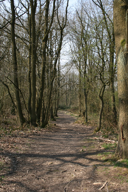
Poolhouse Dingle is a picturesque valley located in Worcestershire, England. Nestled amidst the lush greenery of the Malvern Hills, this enchanting natural landscape offers a tranquil retreat for visitors seeking respite from the bustling urban life.
The valley is known for its outstanding natural beauty, characterized by rolling hills, dense woodlands, and a pristine river running through its heart. The River Severn, one of the longest rivers in the United Kingdom, flows gently through the dingle, adding to its scenic charm. The crystal-clear waters of the river are home to a variety of aquatic life, including trout, making it a popular spot for fishing enthusiasts.
The area surrounding Poolhouse Dingle is also rich in flora and fauna. The valley is carpeted with a vibrant tapestry of wildflowers, including bluebells, primroses, and daffodils, which bloom in abundance during springtime, creating a magical spectacle for nature lovers. The woodlands are home to a diverse range of bird species, making it a paradise for birdwatchers.
Besides its natural wonders, Poolhouse Dingle also boasts historical significance. The remains of a Roman fort, dating back to the 1st century AD, can be found on the valley's outskirts, providing a glimpse into the region's ancient past.
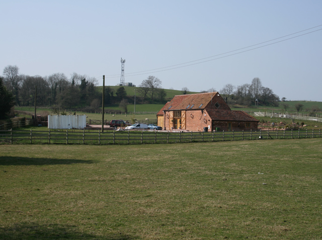
For visitors seeking outdoor activities, the valley offers numerous walking trails and cycling routes, allowing them to explore its beauty at their own pace. Additionally, the nearby town of Great Malvern offers a range of amenities, including cafes, restaurants, and accommodations, ensuring a comfortable stay for those wishing to immerse themselves in the charm of Poolhouse Dingle.
If you have any feedback on the listing, please let us know in the comments section below.
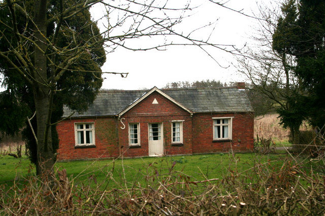
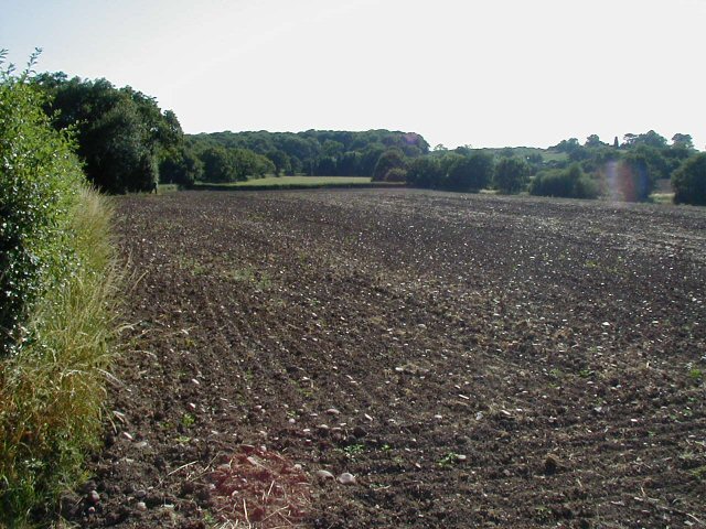
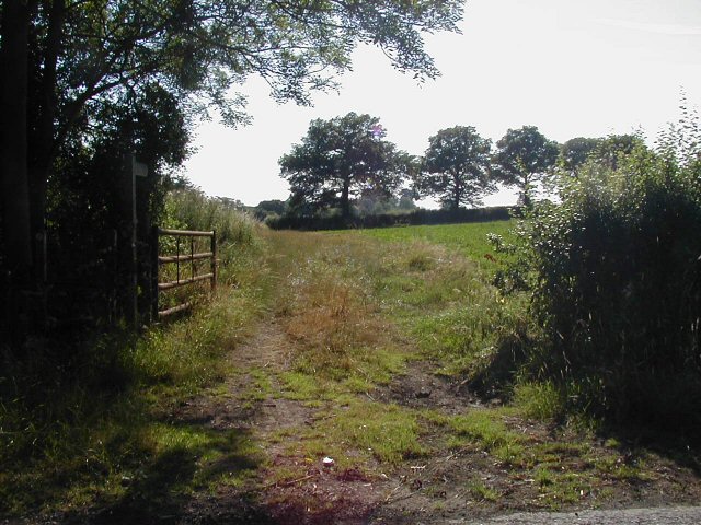
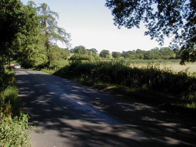
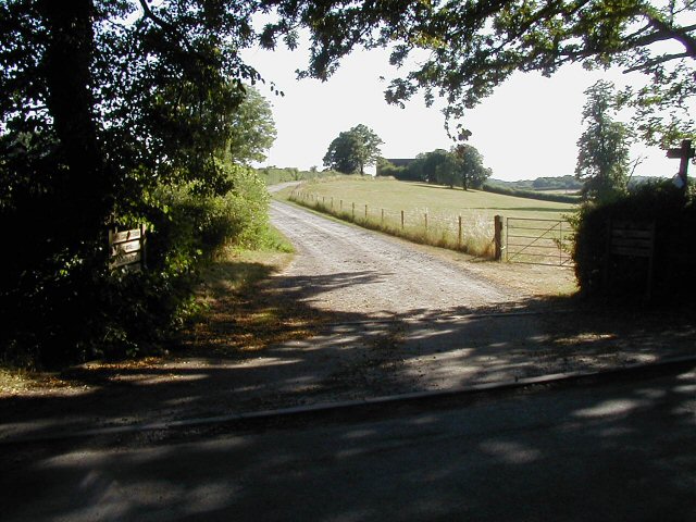
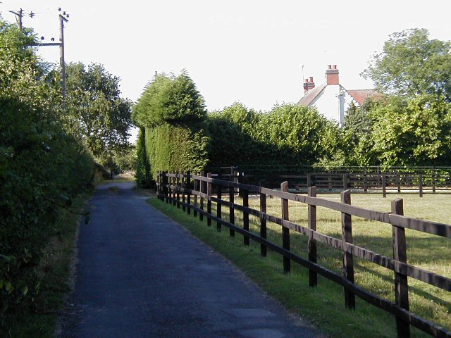
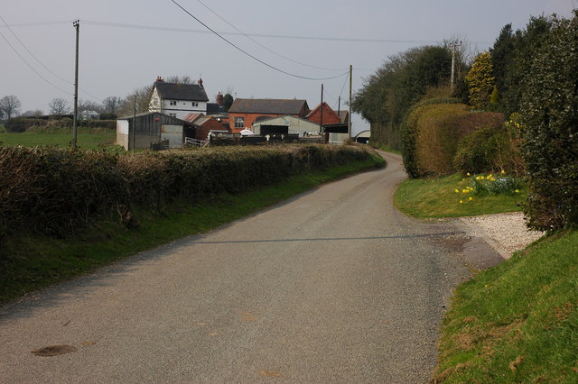
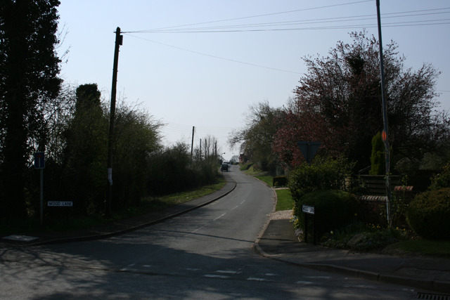
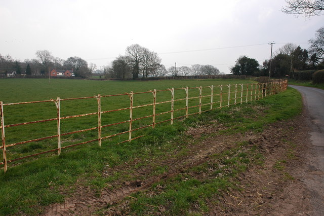
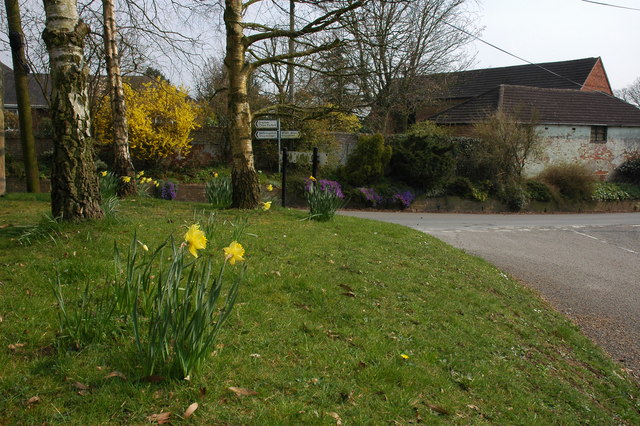
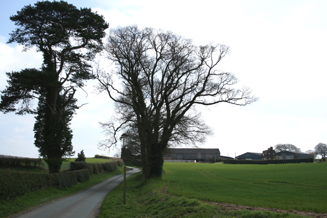
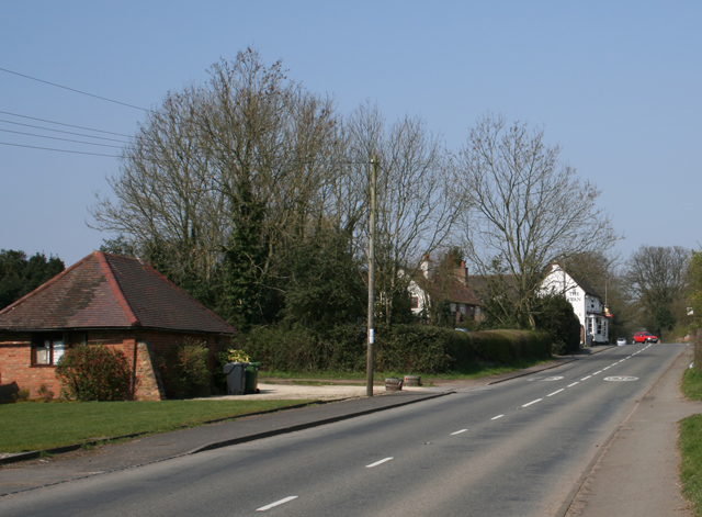
Poolhouse Dingle Images
Images are sourced within 2km of 52.37363/-2.1003676 or Grid Reference SO9375. Thanks to Geograph Open Source API. All images are credited.


Poolhouse Dingle is located at Grid Ref: SO9375 (Lat: 52.37363, Lng: -2.1003676)
Administrative County: Worcestershire
District: Bromsgrove
Police Authority: West Mercia
What 3 Words
///applauded.stay.snipe. Near Belbroughton, Worcestershire
Nearby Locations
Related Wikis
Fairfield, Worcestershire
Fairfield is a village in the district of Bromsgrove, Worcestershire, England. It is in the civil parish of Belbroughton. The village of Fairfield and...
Bournheath
Bournheath is a village and civil parish in the Bromsgrove District of Worcestershire, England, about three miles north of Bromsgrove. According to the...

Rosedene
Rosedene is a cottage built as part of the Great Dodford Chartist settlement. It is the best preserved example of a Chartist cottage built by the National...

Castlebourne folly
The Castlebourne folly in the parish of Belbroughton, Worcestershire, England, was built as a sham castle towards the end of the eighteenth century and...
Related Videos

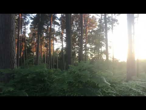
Chaddesley Woods Evening Walk Part One
Filmed on the 10/7/2020.

B123 New Years Day Chaddesley Corbett 1st January 2023
Happy New Year from B123 Walks Starting and walking around Chaddesley Woods Nature Reserve we enjoyed the stunning ...

Chaddesley Woods Evening Walk Part Five
Filmed on the 10/7/2020.
Chaddesley Woods Evening Walk Part Three
Filmed on the 10/7/2020.
Nearby Amenities
Located within 500m of 52.37363,-2.1003676Have you been to Poolhouse Dingle?
Leave your review of Poolhouse Dingle below (or comments, questions and feedback).