Ashgrove Bottom
Valley in Wiltshire
England
Ashgrove Bottom
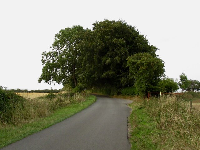
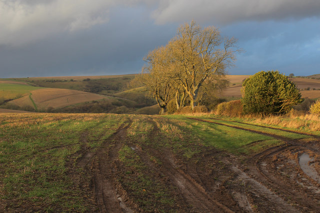
Ashgrove Bottom is a picturesque valley located in the county of Wiltshire, England. Situated in the southern part of the county, it lies between the towns of Warminster and Westbury. The valley is characterized by its lush green landscape, rolling hills, and meandering streams that add to its natural beauty.
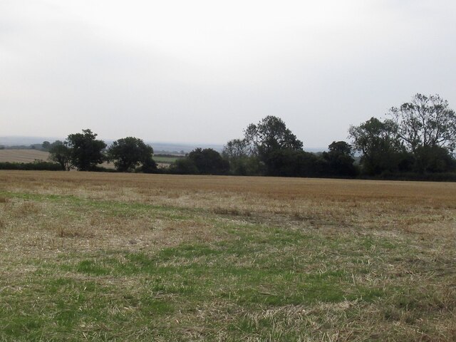
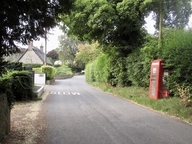
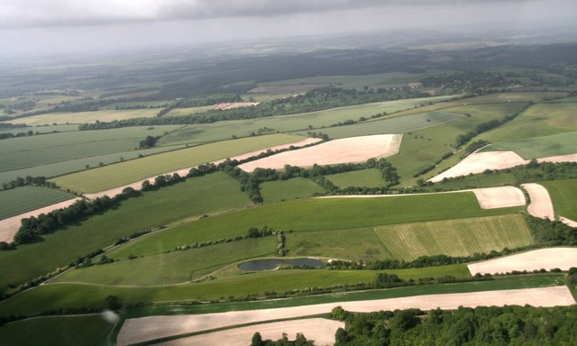
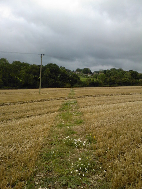
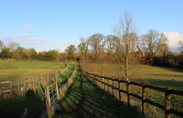
Covering an area of approximately 5 square miles, Ashgrove Bottom is known for its tranquil atmosphere and idyllic countryside scenery. The valley is predominantly rural, with scattered farms and a few small hamlets dotting the landscape. The surrounding hills provide a stunning backdrop and offer several vantage points to enjoy panoramic views of the valley.
The valley is home to a diverse range of flora and fauna, making it a haven for nature enthusiasts. Woodlands, meadows, and hedgerows are abundant, providing habitats for various species of plants, birds, and wildlife. Ashgrove Bottom is particularly known for its bluebells, which carpet the woodland floors during the spring season, creating a breathtaking display of color.
The valley also boasts several walking trails and footpaths, making it a popular destination for hikers and nature lovers. These trails allow visitors to explore the valley's charming countryside, discover hidden gems, and enjoy the peaceful ambiance. Additionally, the area offers opportunities for outdoor activities such as picnicking, birdwatching, and photography.
Overall, Ashgrove Bottom in Wiltshire is a picturesque valley that showcases the natural beauty and serenity of the English countryside. Its stunning landscapes, diverse wildlife, and peaceful atmosphere make it a must-visit destination for those seeking a tranquil escape from the hustle and bustle of city life.
If you have any feedback on the listing, please let us know in the comments section below.
Ashgrove Bottom Images
Images are sourced within 2km of 50.965412/-2.09748 or Grid Reference ST9318. Thanks to Geograph Open Source API. All images are credited.


Ashgrove Bottom is located at Grid Ref: ST9318 (Lat: 50.965412, Lng: -2.09748)
Unitary Authority: Wiltshire
Police Authority: Wiltshire
What 3 Words
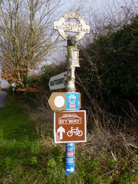
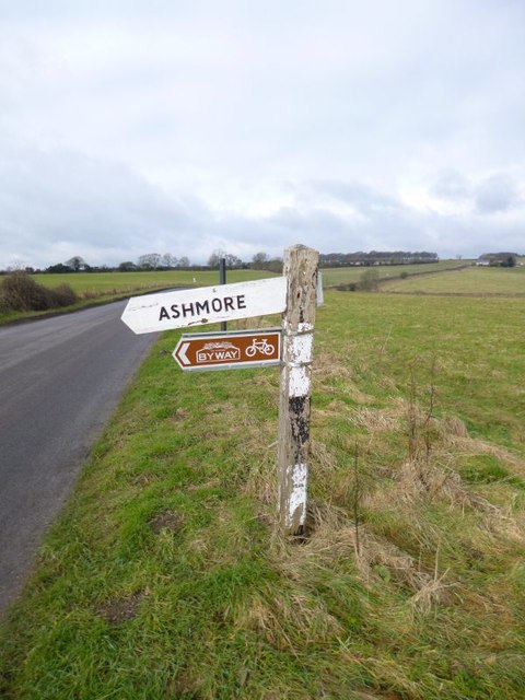
///duplicate.central.clips. Near Shaftesbury, Dorset
Nearby Locations
Related Wikis

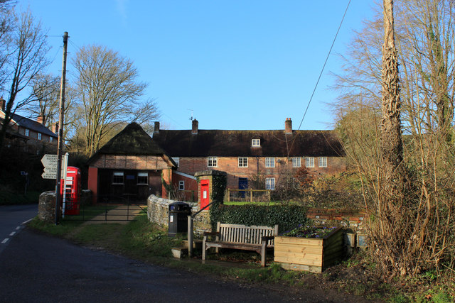
Tollard Royal
Tollard Royal is a village and civil parish on Cranborne Chase, Wiltshire, England. The parish is on Wiltshire's southern boundary with Dorset and the...

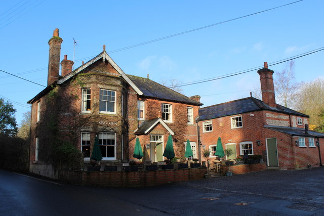
King John's House, Tollard Royal
King John's House is a former manor house in the south Wiltshire village of Tollard Royal, England. Just south of the church, the building has at its core...

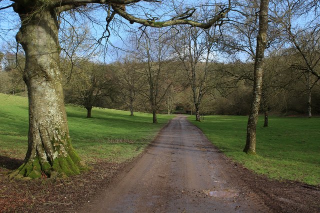
Ashcombe House, Wiltshire
Ashcombe House, also known as Ashcombe Park, is a Georgian manor house, set in 1,134 acres (4.59 km2) of land on Cranborne Chase in the parish of Berwick...

Rotherley Downs
Rotherley Downs (grid reference ST946196) is a 120.05 hectare biological Site of Special Scientific Interest in Wiltshire, England, notified in 1989. The...
Nearby Amenities
Located within 500m of 50.965412,-2.09748Have you been to Ashgrove Bottom?
Leave your review of Ashgrove Bottom below (or comments, questions and feedback).