Brae of Cairnfield

Downs, Moorland in Aberdeenshire

Scotland

Brae of Cairnfield

The AECC
The AECC Credit: Peter Moore

Brae of Cairnfield, located in Aberdeenshire, Scotland, is a picturesque area characterized by rolling downs and expansive moorland. Situated in the northeast region of the country, it offers a stunning natural landscape that attracts visitors and outdoor enthusiasts alike.

The downs of Brae of Cairnfield are marked by gently sloping hills, covered in lush green grass and scattered with wildflowers. These downs provide a scenic backdrop and are perfect for leisurely walks or picnics, offering breathtaking panoramic views of the surrounding countryside. The area is known for its tranquility and peacefulness, making it an ideal destination for those seeking solace in nature.

Adjacent to the downs, the moorland of Brae of Cairnfield stretches across vast expanses of open space, characterized by heather-covered hills and bogs. This unique terrain is a haven for wildlife, with diverse flora and fauna thriving in the area. Birdwatchers can spot a variety of species, including red grouse and golden plovers, while nature enthusiasts enjoy the sight of wild deer grazing in the distance.

The natural beauty of Brae of Cairnfield is further enhanced by its rich history and cultural significance. The region is dotted with ancient stone circles and burial mounds, providing a glimpse into the area's past. Archaeological discoveries have revealed evidence of human habitation in the area dating back thousands of years, adding to its historical allure.

Overall, Brae of Cairnfield in Aberdeenshire offers a serene and scenic destination for those seeking to immerse themselves in the beauty of nature. Its downs and moorland, combined with its historical significance, make it a must-visit location for both locals and tourists alike.

If you have any feedback on the listing, please let us know in the comments section below.

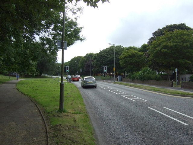
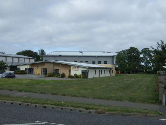
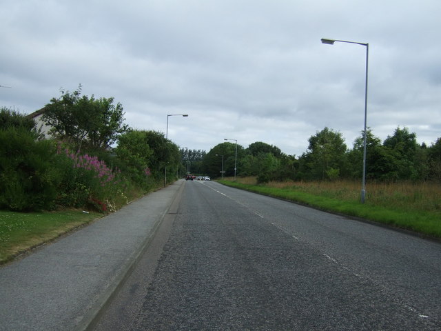
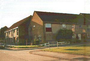
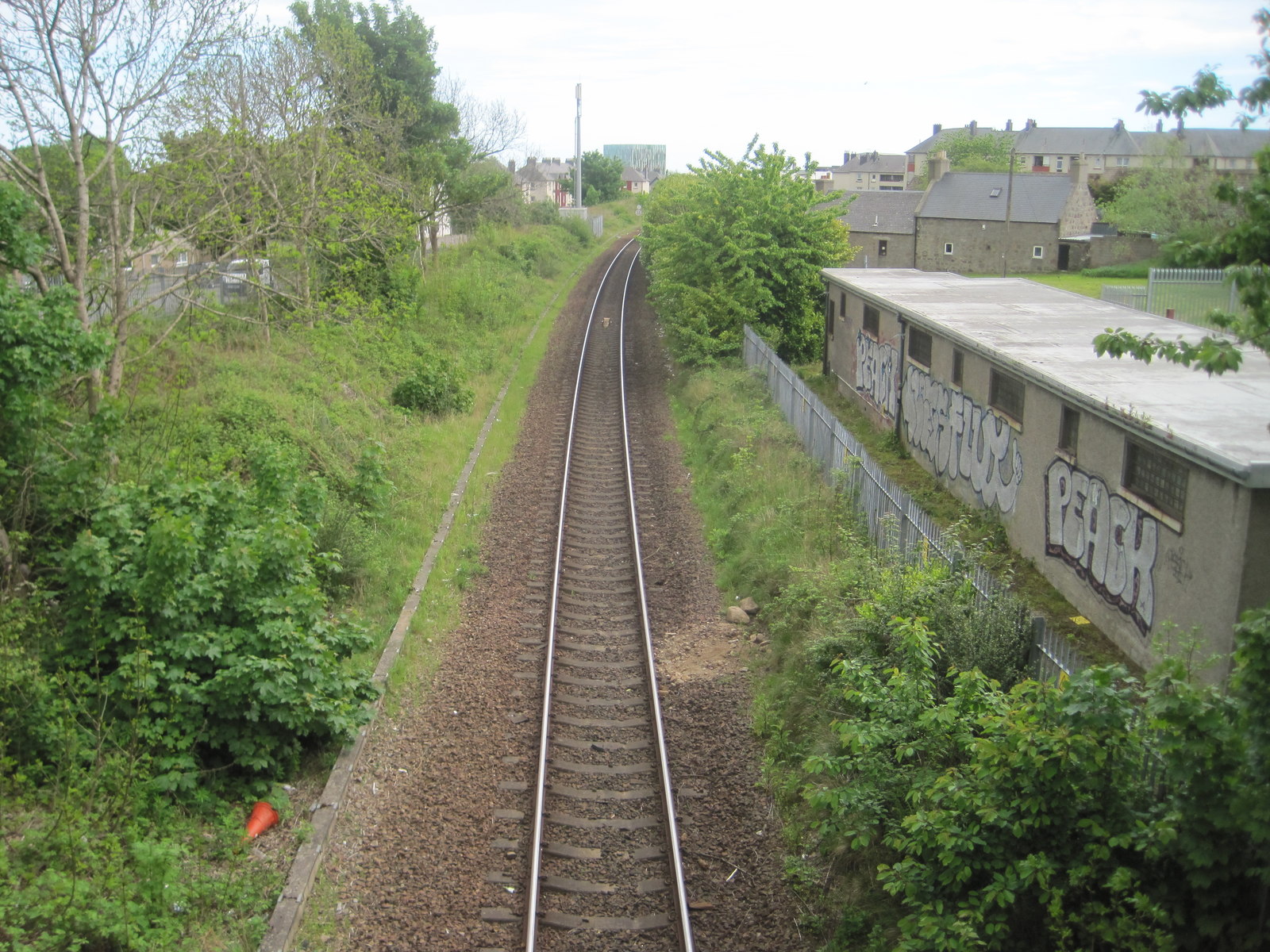
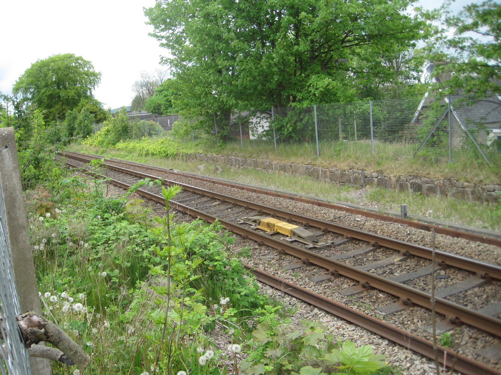
Brae of Cairnfield Images

Images are sourced within 2km of 57.177778/-2.1165731 or Grid Reference NJ9309. Thanks to Geograph Open Source API. All images are credited.

The AECC
The AECC
Bridge of Don Library Bridge of Don must be the ultimate 1970s suburb, with unimpressive public buildings to match...
Bridge of Don Library
Bridge of Don must be the ultimate 1970s suburb, with unimpressive public buildings to match...
Scotstown Surgery, Bridge of Don
Scotstown School, Bridge of Don, Aberdeen Built in the 1970s with the school name on the end of the building in the Profil typeface.  I thought this typeface was classic (dated) 1970s, but in fact it dates from 1946: <span class="nowrap"><a title="http://ultraboldblog.printweek.com/2009/02/28/profil/" rel="nofollow ugc noopener" href="http://ultraboldblog.printweek.com/2009/02/28/profil/">Link</a><img style="margin-left:2px;" alt="External link" title="External link - shift click to open in new window" src="https://s1.geograph.org.uk/img/external.png" width="10" height="10"/></span> .
Scotstown School, Bridge of Don, Aberdeen
Built in the 1970s with the school name on the end of the building in the Profil typeface. I thought this typeface was classic (dated) 1970s, but in fact it dates from 1946: LinkExternal link .
The Black Dog, Bridge of Don Interesting 1970s architecture..
The Black Dog, Bridge of Don
Interesting 1970s architecture..
Holiday Inn Express, Aberdeen Exhibition Centre
The Parkway (A90) Heading west.
The Parkway (A90)
Heading west.
Scotstown Roundabout A90 heading west.
Scotstown Roundabout
A90 heading west.
Glashieburn Primary School
Scotstown Road (B997) Heading north.
Scotstown Road (B997)
Heading north.
Jesmond Drive Heading west.
Jesmond Drive
Heading west.
Oldmachar Dental Care
Jesmond Drive Heading north.
Jesmond Drive
Heading north.
Buckie Road Off Whitestripes Avenue.
Buckie Road
Off Whitestripes Avenue.
Whitestripes Avenue Heading south.
Whitestripes Avenue
Heading south.
Crop field and power lines, Danestone North of the A90.
Crop field and power lines, Danestone
North of the A90.
A90 heading west
A90 heading west
The Buckie Farm pub Off the A90.
The Buckie Farm pub
Off the A90.
Show me another place!

Brae of Cairnfield is located at Grid Ref: NJ9309 (Lat: 57.177778, Lng: -2.1165731)

Unitary Authority: City of Aberdeen

Police Authority: North East

What 3 Words

///quiet.costs.movies. Near Aberdeen

Related Wikis

Nearby Amenities

Located within 500m of 57.177778,-2.1165731
Crossing
Crossing: uncontrolled
Crossing Island: no
Crossing Markings: zebra
Crossing Ref: zebra
Flashing Lights: yes
Kerb: flush
Tactile Paving: yes
Lat/Long: 57.1795078/-2.1090924
Turning Circle
Lat/Long: 57.1786695/-2.1150385
Turning Circle
Lat/Long: 57.1788988/-2.116717
Turning Circle
Lat/Long: 57.1790996/-2.1157671
Noexit: yes
Lat/Long: 57.178854/-2.1117993
Mini Roundabout
Direction: clockwise
Lat/Long: 57.1776781/-2.1245886
Crossing
Crossing: unmarked
Crossing Island: yes
Crossing Markings: no
Tactile Paving: yes
Lat/Long: 57.1768987/-2.1224593
Traffic Calming: hump
Lat/Long: 57.1763653/-2.1211706
Crossing
Crossing: unmarked
Crossing Island: no
Crossing Markings: no
Tactile Paving: yes
Lat/Long: 57.1739041/-2.1147212
Direction: both
Note: position is approximate
Source: survey
Surface: asphalt
Traffic Calming: cushion
Lat/Long: 57.1751601/-2.1142068
Direction: both
Surface: asphalt
Traffic Calming: hump
Lat/Long: 57.1749857/-2.1209809
Turning Circle
Lat/Long: 57.1787111/-2.1162728
Turning Circle
Lat/Long: 57.178995/-2.1146375
Access: no
Barrier: bollard
Bicycle: yes
Bollard: fixed
Foot: yes
Lat/Long: 57.1736748/-2.116599
Infotechnics Ltd
Addr Housename: Davidson House
Addr Postcode: AB22 8GT
Addr Street: Balgownie Road
Source: local knowledge
Lat/Long: 57.1809092/-2.1185992
Turning Circle
Turning Circle: circle
Lat/Long: 57.1756368/-2.113855
Bus Stop
Meadow Court
Bench: yes
Bin: yes
Bus: yes
Lit: yes
Naptan AtcoCode: 639002781
Naptan CommonName: Meadow Court
Naptan Indicator: opp
Naptan NaptanCode: 23235963
Naptan Verified: no
Public Transport: platform
Ref: 02781
Shelter: yes
Source: bing;gps;survey
Tactile Paving: no
Lat/Long: 57.1752165/-2.1198821
Bus Stop
Gort Road
Bench: no
Bin: yes
Bus: yes
Lit: yes
Naptan AtcoCode: 639002801
Naptan CommonName: Gort Road
Naptan Indicator: opp
Naptan NaptanCode: 23235934
Naptan Verified: no
Public Transport: platform
Ref: 02801
Shelter: yes
Source: bing; gps; survey
Tactile Paving: no
Lat/Long: 57.1735308/-2.1140209
Bus Stop
Meadow Place
Bench: yes
Bin: no
Bus: yes
Lit: yes
Naptan AtcoCode: 639002790
Naptan CommonName: Meadow Place
Naptan Indicator: opp
Naptan NaptanCode: 23237568
Naptan Verified: no
Public Transport: platform
Ref: 02791
Shelter: yes
Source: bing; gps; survey
Tactile Paving: no
Lat/Long: 57.1745034/-2.1159888
Bus Stop
Papermill Drive
Bench: yes
Bin: yes
Bus: yes
Lit: yes
Naptan AtcoCode: 639002792
Naptan CommonName: Paper Mill Drive
Naptan Indicator: at
Naptan NaptanCode: 23237429
Naptan Verified: no
Public Transport: platform
Ref: 02792
Shelter: yes
Source: bing; gps; survey
Tactile Paving: no
Lat/Long: 57.1753854/-2.1139847
Direction: both
Surface: asphalt
Traffic Calming: cushion
Lat/Long: 57.1737402/-2.1137939
Crossing
Crossing: unmarked
Crossing Island: no
Crossing Markings: no
Tactile Paving: yes
Lat/Long: 57.17409/-2.1143347
Man Made: surveillance
Source: survey
Surveillance: public
Surveillance Type: camera
Lat/Long: 57.174828/-2.1201759
Fixme: boundary needs surveying, changed after bridge was constructed
Lat/Long: 57.1760919/-2.1168881
Information: guidepost
Note: Down Steps: River Side Path
Source: survey
Tourism: information
Lat/Long: 57.1750482/-2.1210323
Bench
Backrest: no
Source: survey; bing
Lat/Long: 57.1751203/-2.1137967
Barrier: cycle_barrier
Bicycle: yes
Cycle Barrier: triple
Foot: yes
Source: survey
Lat/Long: 57.1751685/-2.1137841
Waste Basket
Check Date: 2022-04-25
Source: gps;survey
Waste: dog_excrement
Lat/Long: 57.175574/-2.1136378
Donside Community Association
Board Type: notice
Information: board
Source: gps; survey
Tourism: information
Lat/Long: 57.174293/-2.1113707
Direction: both
Source: survey;gps
Surface: asphalt
Traffic Calming: cushion
Lat/Long: 57.1747177/-2.1142876
Crossing
Crossing: unmarked
Crossing Island: no
Crossing Markings: no
Tactile Paving: yes
Lat/Long: 57.1748716/-2.1142668
Barrier: bollard
Lat/Long: 57.1751022/-2.1199387
Leisure: playground
Note: swings
Source: survey; gps
Lat/Long: 57.1737564/-2.1172816
Noexit: yes
Lat/Long: 57.1760868/-2.1231644
Noexit: yes
Lat/Long: 57.1761587/-2.1229627
Noexit: yes
Lat/Long: 57.1765405/-2.1222624
Crossing
Button Operated: yes
Crossing: traffic_signals
Crossing Island: no
Crossing Ref: toucan
Tactile Paving: yes
Traffic Signals Sound: yes
Traffic Signals Vibration: yes
Lat/Long: 57.1741417/-2.1152522
Crossing
Bicycle: yes
Button Operated: yes
Crossing: traffic_signals
Crossing Island: no
Crossing Markings: dots
Crossing Ref: toucan
Tactile Paving: yes
Traffic Signals Sound: yes
Traffic Signals Vibration: yes
Lat/Long: 57.1751041/-2.1167526
Crossing
Button Operated: yes
Crossing: traffic_signals
Crossing Ref: toucan
Tactile Paving: yes
Traffic Signals Sound: yes
Traffic Signals Vibration: yes
Lat/Long: 57.1780776/-2.1215407
Crossing
Crossing: unmarked
Crossing Island: no
Crossing Markings: no
Tactile Paving: no
Lat/Long: 57.1804952/-2.115406
Entrance: main
Lat/Long: 57.1809247/-2.1189625
Entrance: main
Lat/Long: 57.1807626/-2.1139863
Entrance: main
Lat/Long: 57.1814746/-2.1133412
Crossing
Crossing: unmarked
Crossing Island: no
Crossing Markings: no
Tactile Paving: no
Lat/Long: 57.1803591/-2.1159267
Entrance: yes
Lat/Long: 57.1792056/-2.111296
Entrance: yes
Lat/Long: 57.1791683/-2.1115608
Entrance: main
Lat/Long: 57.1777613/-2.1090437
Access: private
Addr City: Aberdeen
Addr Housename: Kettock Lodge
Addr Postcode: AB22 8GU
Addr Street: Campus Two
Door: hinged
Entrance: main
Level: 0
Wheelchair: yes
Lat/Long: 57.1795004/-2.1106037
Grandholm
Name Sco: Granum
Place: neighbourhood
Lat/Long: 57.1769028/-2.1238403
Crossing
Crossing: unmarked
Crossing Island: no
Crossing Markings: no
Kerb: lowered
Tactile Paving: yes
Lat/Long: 57.1779824/-2.1208419
Crossing
Crossing: unmarked
Crossing Island: no
Crossing Markings: no
Kerb: lowered
Tactile Paving: yes
Lat/Long: 57.1754885/-2.1176127
Crossing
Crossing: unmarked
Crossing Island: no
Crossing Markings: no
Kerb: lowered
Tactile Paving: yes
Lat/Long: 57.1734647/-2.1142369
Crossing
Crossing: unmarked
Crossing Island: no
Crossing Markings: no
Kerb: lowered
Tactile Paving: yes
Lat/Long: 57.1747997/-2.1164205
Waterway: waterfall
Lat/Long: 57.176932/-2.1245109
Crossing
Crossing: unmarked
Crossing Island: no
Crossing Markings: no
Tactile Paving: yes
Lat/Long: 57.1779797/-2.1231736
Covered: no
Leisure: picnic_table
Lat/Long: 57.174348/-2.1113591
Tourism: viewpoint
Lat/Long: 57.1763351/-2.1127546
Bench
Lat/Long: 57.1763321/-2.1127184
Information: board
Tourism: information
Lat/Long: 57.1763191/-2.113173
Playground: swing
Lat/Long: 57.1762231/-2.1136303
Life Ring
Emergency: life_ring
Lat/Long: 57.1760512/-2.1177692
Barrier: bollard
Lat/Long: 57.1745866/-2.1200577
Crossing
Crossing: unmarked
Crossing Island: no
Crossing Markings: no
Tactile Paving: yes
Lat/Long: 57.1754137/-2.117078
Bus Stop
Grandholm Drive
Bench: no
Bin: no
Bus: yes
Naptan AtcoCode: 639002793
Naptan CommonName: Grandholm Drive
Naptan Indicator: beside
Naptan NaptanCode: 23237548
Naptan Verified: no
Public Transport: platform
Shelter: no
Tactile Paving: no
Lat/Long: 57.1786531/-2.1234596
Bus Stop
Grandholm Drive
Bench: yes
Bin: no
Bus: yes
Naptan AtcoCode: 639002794
Naptan CommonName: Grandholm Drive
Naptan Indicator: at
Naptan NaptanCode: 23237549
Naptan Verified: no
Public Transport: platform
Shelter: yes
Tactile Paving: no
Lat/Long: 57.178551/-2.1227
Gordon Brae
Bus: yes
Disused Highway: bus_stop
Disused Public Transport: platform
Naptan AtcoCode: 639002797
Naptan CommonName: Gordon Brae
Naptan Indicator: adj
Naptan NaptanCode: 23237565
Naptan Verified: no
Lat/Long: 57.1780099/-2.1191246
Gordon Brae
Bus: yes
Disused Highway: bus_stop
Disused Public Transport: platform
Naptan AtcoCode: 639002798
Naptan CommonName: Gordon Brae
Naptan Indicator: adj
Naptan NaptanCode: 23237567
Naptan Verified: no
Lat/Long: 57.1781087/-2.1194899
Balgownie Way
Bus: yes
Disused Highway: bus_stop
Disused Public Transport: platform
Naptan AtcoCode: 639005252
Naptan CommonName: Balgownie Way
Naptan Indicator: 30m east of Balgownie way
Naptan NaptanCode: 23236238
Naptan Verified: no
Lat/Long: 57.1784627/-2.115616
Bus Stop
Balgownie Drive
Bus: yes
Naptan AtcoCode: 639004922
Naptan CommonName: Balgownie Drive
Naptan Indicator: at
Naptan NaptanCode: 23236263
Naptan Verified: no
Public Transport: platform
Lat/Long: 57.179681/-2.1093839
Bus Stop
Balgownie Drive
Bus: yes
Naptan AtcoCode: 639004921
Naptan CommonName: Balgownie Drive
Naptan Indicator: opp
Naptan NaptanCode: 23236267
Naptan Verified: no
Public Transport: platform
Lat/Long: 57.1800356/-2.109518
Bus Stop
Meadow Place
Bench: yes
Bin: yes
Bus: yes
Lit: yes
Naptan AtcoCode: 639002791
Naptan CommonName: Meadow Place
Naptan Indicator: adj
Naptan NaptanCode: 23235949
Naptan Verified: no
Public Transport: platform
Shelter: yes
Tactile Paving: no
Lat/Long: 57.1746376/-2.1159076
57North Hacklab
Addr City: Aberdeen
Addr Country: GB
Addr Housename: Kettock Lodge
Addr Housenumber: Unit H
Addr Postcode: AB22 8GU
Addr Street: Campus Two
Description: Hackerspace
Leisure: hackerspace
Level: 1
Opening Hours: Tu 19:00-22:00
Website: https://57north.org.uk
Wheelchair: yes
Wikidata: Q111143490
Lat/Long: 57.1792683/-2.1101853
Charging Station
Capacity: 2
Covered: no
Fee: yes
Operator: ChargePlace Scotland
Operator Wikidata: Q105359316
Socket Type2: 2
Socket Type2 Output: 22kW
Website: https://map.chargeplacescotland.org/chargePoint?bayNo=51444&scheme=cps&mapHeight=900&mapZoom=17
Lat/Long: 57.1798901/-2.1103235
Access: private
Addr City: Aberdeen
Addr Housename: Kettock Lodge
Addr Postcode: AB22 8GU
Addr Street: Campus Two
Door: hinged
Entrance: staircase
Level: 0
Wheelchair: no
Lat/Long: 57.179374/-2.1099069
Historic: memorial
Inscription: Crombie Lodge Opened 19 July 1991 By the Rt Hon. Ian Lang MP Secretary of State for Scotland
Material: granite
Memorial: plaque
Lat/Long: 57.1793074/-2.1108389
Bicycle Parking
Access: permissive
Bicycle Parking: stands
Capacity: 4
Covered: no
Fee: no
Lat/Long: 57.1799086/-2.1114837
Access: private
Entrance: main
Lat/Long: 57.1797981/-2.1114807
Entrance: emergency
Lat/Long: 57.1796548/-2.1118576
Entrance: main
Lat/Long: 57.1780291/-2.1113143
Entrance: main
Wheelchair: no
Lat/Long: 57.177845/-2.1109044
Entrance: yes
Lat/Long: 57.1781422/-2.1116671
iXblue
Office: company
Lat/Long: 57.1777852/-2.1091104
Trihedral
Office: company
Lat/Long: 57.1777918/-2.1090471
iXblue Training
Office: company
Lat/Long: 57.1777753/-2.1089801
Barrier: bollard
Lat/Long: 57.1806694/-2.1103356
Barrier: block
Lat/Long: 57.1804299/-2.1150908
Barrier: block
Lat/Long: 57.180057/-2.1179926
Loading Dock
Lat/Long: 57.1803766/-2.1133434
Entrance: yes
Lat/Long: 57.1804025/-2.1133347
Entrance: yes
Lat/Long: 57.1803609/-2.1133481
Entrance: main
Lat/Long: 57.1810301/-2.1150516
Addr Housename: Mill House Apartments
Addr Housenumber: 5-7
Lat/Long: 57.1773495/-2.1242098
Direction: both
Surface: asphalt
Traffic Calming: hump
Lat/Long: 57.1752143/-2.1195195
Colour: green
Man Made: street_cabinet
Utility: telecom
Lat/Long: 57.178977/-2.1100217
Post Box
Collection Times: Mo-Fr 17:30; Sa 12:15
Colour: red
Operator: Royal Mail
Operator Wikidata: Q638098
Post Box Type: pillar
Ref: AB22 909P
Lat/Long: 57.1792466/-2.1104565
Waste Basket
Waste: dog_excrement
Lat/Long: 57.178151/-2.1136109
Grit Bin
Access: yes
Colour: yellow
Material: plastic
Lat/Long: 57.1785414/-2.1149612
Colour: green
Man Made: street_cabinet
Lat/Long: 57.1785234/-2.1149999
Colour: green
Man Made: street_cabinet
Lat/Long: 57.1783932/-2.1148822
Colour: green
Man Made: street_cabinet
Lat/Long: 57.1784628/-2.1152092
Grit Bin
Access: yes
Colour: yellow
Material: plastic
Lat/Long: 57.1785283/-2.1166777
Post Box
Addr Postcode: AB22 8FD
Collection Times: Mo-Fr 09:00, Sa 07:00
Colour: red
Drive Through: no
Post Box Type: lamp
Ref: AB22 564D
Royal Cypher: scottish_crown
Lat/Long: 57.1787341/-2.116594
Grit Bin
Access: yes
Colour: yellow
Material: plastic
Lat/Long: 57.1789592/-2.114456
Grit Bin
Access: yes
Colour: yellow
Material: plastic
Lat/Long: 57.1790488/-2.1225513
Addr City: Aberdeen
Addr Housenumber: 7-16
Addr Postcode: AB22 8FD
Addr Street: Balgownie Drive
Entrance: yes
Lat/Long: 57.1790471/-2.1232795
Addr City: Aberdeen
Addr Housenumber: 1-10
Addr Postcode: AB22 8FB
Addr Street: Balgownie Place
Entrance: yes
Lat/Long: 57.1792002/-2.1218164
Addr City: Aberdeen
Addr Housenumber: 25-34
Addr Postcode: AB22 8FD
Addr Street: Balgownie Drive
Entrance: yes
Lat/Long: 57.1792449/-2.1224359
Addr City: Aberdeen
Addr Housenumber: 17
Addr Postcode: AB22 8FD
Addr Street: Balgownie Drive
Entrance: yes
Lat/Long: 57.1792771/-2.1232006
Addr City: Aberdeen
Addr Housenumber: 18
Addr Postcode: AB22 8FD
Addr Street: Balgownie Drive
Entrance: yes
Lat/Long: 57.1793141/-2.123064
Addr City: Aberdeen
Addr Housenumber: 19
Addr Postcode: AB22 8FD
Addr Street: Balgownie Drive
Entrance: yes
Lat/Long: 57.1793444/-2.1229841
Addr City: Aberdeen
Addr Housenumber: 20
Addr Postcode: AB22 8FD
Addr Street: Balgownie Drive
Entrance: yes
Lat/Long: 57.1793528/-2.1228467
Addr City: Aberdeen
Addr Housenumber: 21
Addr Postcode: AB22 8FD
Addr Street: Balgownie Drive
Entrance: yes
Lat/Long: 57.1793601/-2.1227279
Addr City: Aberdeen
Addr Housenumber: 22
Addr Postcode: AB22 8FD
Addr Street: Balgownie Drive
Entrance: yes
Lat/Long: 57.1795175/-2.1225901
Addr City: Aberdeen
Addr Housenumber: 23
Addr Postcode: AB22 8FD
Addr Street: Balgownie Drive
Entrance: yes
Lat/Long: 57.1794746/-2.1225812
Addr City: Aberdeen
Addr Housenumber: 24
Addr Postcode: AB22 8FD
Addr Street: Balgownie Drive
Entrance: yes
Lat/Long: 57.1793996/-2.1225647
Addr City: Aberdeen
Addr Housenumber: 21-30
Addr Postcode: AB22 8FB
Addr Street: Balgownie Place
Entrance: yes
Lat/Long: 57.1791893/-2.120907
Addr City: Aberdeen
Addr Housenumber: 11
Addr Postcode: AB22 8FB
Addr Street: Balgownie Place
Entrance: yes
Lat/Long: 57.1794501/-2.1221575
Addr City: Aberdeen
Addr Housenumber: 12
Addr Postcode: AB22 8FB
Addr Street: Balgownie Place
Entrance: yes
Lat/Long: 57.1794512/-2.1219987
Addr City: Aberdeen
Addr Housenumber: 13
Addr Postcode: AB22 8FB
Addr Street: Balgownie Place
Entrance: yes
Lat/Long: 57.1794517/-2.1218742
Addr City: Aberdeen
Addr Housenumber: 14
Addr Postcode: AB22 8FB
Addr Street: Balgownie Place
Entrance: yes
Lat/Long: 57.1794385/-2.1217664
Addr City: Aberdeen
Addr Housenumber: 15
Addr Postcode: AB22 8FB
Addr Street: Balgownie Place
Entrance: yes
Lat/Long: 57.1794383/-2.1216234
Addr City: Aberdeen
Addr Housenumber: 16
Addr Postcode: AB22 8FB
Addr Street: Balgownie Place
Entrance: yes
Lat/Long: 57.1794383/-2.1215333
Addr City: Aberdeen
Addr Housenumber: 17
Addr Postcode: AB22 8FB
Addr Street: Balgownie Place
Entrance: yes
Lat/Long: 57.1794382/-2.1213906
Addr City: Aberdeen
Addr Housenumber: 18
Addr Postcode: AB22 8FB
Addr Street: Balgownie Place
Entrance: yes
Lat/Long: 57.1793901/-2.1212591
Addr City: Aberdeen
Addr Housenumber: 19
Addr Postcode: AB22 8FB
Addr Street: Balgownie Place
Entrance: yes
Lat/Long: 57.1793907/-2.1211543
Addr City: Aberdeen
Addr Housenumber: 20
Addr Postcode: AB22 8FB
Addr Street: Balgownie Place
Entrance: yes
Lat/Long: 57.1793915/-2.12101
Give Way
Direction: backward
Lat/Long: 57.1782423/-2.1221207
Entrance: yes
Lat/Long: 57.1757347/-2.1169696
Entrance: yes
Lat/Long: 57.175709/-2.1166303
Direction: both
Surface: asphalt
Traffic Calming: cushion
Lat/Long: 57.1740787/-2.114293
Direction: both
Surface: asphalt
Traffic Calming: cushion
Lat/Long: 57.1740258/-2.1145912
Traffic Calming: hump
Lat/Long: 57.1767265/-2.1214879
Traffic Calming: hump
Lat/Long: 57.1765495/-2.1224991
Generator Method: photovoltaic
Generator Output Electricity: yes
Generator Source: solar
Generator Type: solar_photovoltaic_panel
Location: roof
Power: generator
Lat/Long: 57.1794121/-2.1210272
Traffic Calming: hump
Lat/Long: 57.1757869/-2.1231186
Post Box
Collection Times: Mo-Fr 09:00, Sa 07:00
Operator: Royal Mail
Operator Wikidata: Q638098
Post Box Type: lamp
Ref: AB24 800
Royal Cypher: scottish_crown
Survey Date: 2021-09-21
Lat/Long: 57.1740905/-2.1141655
Post Box
Collection Times: Mo-Fr 17:30; Sa 12:15
Colour: red
Operator: Royal Mail
Operator Wikidata: Q638098
Post Box Type: pillar
Ref: AB22 594
Lat/Long: 57.1792389/-2.1104372
Assembly Point
Assembly Point Fire: yes
Emergency: assembly_point
Lat/Long: 57.1801621/-2.1108393
Crossing
Crossing: unmarked
Crossing Island: no
Crossing Markings: no
Tactile Paving: yes
Lat/Long: 57.1780016/-2.1233491
Waste Basket
Colour: black
Waste: trash
Lat/Long: 57.1778934/-2.1216507
Waste Basket
Waste: dog_excrement
Lat/Long: 57.1789731/-2.120196
Bicycle Repair Station
Covered: no
Fee: no
Indoor: no
Opening Hours: 24/7
Service Bicycle Pump: yes
Service Bicycle Stand: yes
Service Bicycle Tools: yes
Lat/Long: 57.178042/-2.1212529
Barrier: bollard
Bollard: removable
Lat/Long: 57.1786425/-2.1168112
Crossing
Crossing: unmarked
Crossing Island: no
Crossing Markings: no
Tactile Paving: yes
Lat/Long: 57.1748568/-2.1162808
Grit Bin
Lat/Long: 57.1735226/-2.1164099
Crossing
Crossing: unmarked
Crossing Island: no
Crossing Markings: no
Tactile Paving: yes
Lat/Long: 57.1771986/-2.1223859
Crossing
Crossing: unmarked
Crossing Island: no
Crossing Markings: no
Tactile Paving: yes
Lat/Long: 57.174046/-2.1149738
Crossing
Crossing: unmarked
Crossing Island: no
Crossing Markings: no
Tactile Paving: yes
Lat/Long: 57.1750076/-2.1126129
Crossing
Crossing: unmarked
Crossing Island: no
Crossing Markings: no
Tactile Paving: yes
Lat/Long: 57.1742064/-2.1137601
Crossing
Crossing: unmarked
Crossing Island: no
Crossing Markings: no
Tactile Paving: yes
Lat/Long: 57.1739121/-2.1131228
Power: pole
Lat/Long: 57.1772158/-2.1084322
Power: pole
Lat/Long: 57.1766583/-2.1085538
Aberdeen Action on Disability
Addr City: Aberdeen
Addr Housename: Kettock Lodge
Addr Housenumber: Unit G
Addr Postcode: AB22 8GU
Addr Street: Campus Two
Office: charity
Phone: +44 1224 641355
Website: http://aad-online.com/
Lat/Long: 57.1794029/-2.1103088
Donside Village
Place: neighbourhood
Lat/Long: 57.1741246/-2.1128769
Entrance: yes
Lat/Long: 57.179701/-2.1115254
Entrance: yes
Lat/Long: 57.1796524/-2.1118125
Entrance: yes
Lat/Long: 57.179656/-2.1117867
Entrance: yes
Lat/Long: 57.179672/-2.1116718
Entrance: yes
Lat/Long: 57.1796751/-2.1116492
Entrance: yes
Lat/Long: 57.1796852/-2.1115769
Entrance: yes
Lat/Long: 57.1797046/-2.1115701
Entrance: yes
Lat/Long: 57.1797013/-2.1115935
Entrance: yes
Lat/Long: 57.1796902/-2.1116728
Entrance: yes
Lat/Long: 57.1796869/-2.1116971
Entrance: yes
Lat/Long: 57.1796731/-2.111796
Entrance: yes
Lat/Long: 57.1796698/-2.111819
Entrance: yes
Lat/Long: 57.1797639/-2.1114808
Entrance: yes
Lat/Long: 57.1797132/-2.111504
Door: hinged
Entrance: yes
Lat/Long: 57.1796897/-2.1114622
Disabled: yes
Door: hinged
Entrance: yes
Lat/Long: 57.1797037/-2.1113632
Entrance: yes
Lat/Long: 57.1797575/-2.1110581
Entrance: yes
Lat/Long: 57.1797604/-2.1110373
Entrance: yes
Lat/Long: 57.1797541/-2.1110825
Entrance: yes
Lat/Long: 57.1797381/-2.1111969
Entrance: yes
Lat/Long: 57.1797347/-2.1112213
Entrance: yes
Lat/Long: 57.1797249/-2.1112916
Door: hinged
Entrance: yes
Lat/Long: 57.1797257/-2.1113504
Door: hinged
Entrance: yes
Lat/Long: 57.1796761/-2.1113984
Door: hinged
Entrance: yes
Lat/Long: 57.1796722/-2.1114266
Door: hinged
Entrance: yes
Lat/Long: 57.1797697/-2.111449
Door: hinged
Entrance: yes
Lat/Long: 57.1797769/-2.1110443
Door: hinged
Entrance: yes
Lat/Long: 57.179774/-2.1110649
Door: hinged
Entrance: yes
Lat/Long: 57.1797702/-2.111092
Door: hinged
Entrance: yes
Lat/Long: 57.179757/-2.1111882
Door: hinged
Entrance: yes
Lat/Long: 57.1797539/-2.1112104
Door: hinged
Entrance: yes
Lat/Long: 57.1797428/-2.1112896
Door: hinged
Entrance: yes
Lat/Long: 57.179739/-2.1113168
Door: hinged
Entrance: yes
Male: yes
Lat/Long: 57.1797321/-2.1113658
Letter Box
Addr City: Aberdeen
Addr Postcode: AB22 8GU
Addr Street: Campus Two
Post Flats: 1-24
Post Housename: James Gregory Centre
Lat/Long: 57.1797861/-2.111028
Entrance: emergency
Lat/Long: 57.1797698/-2.1110203
Direction: both
Surface: paving_stones
Traffic Calming: table
Lat/Long: 57.1738946/-2.1150854
Direction: both
Surface: paving_stones
Traffic Calming: table
Lat/Long: 57.1739228/-2.1150085
Give Way
Direction: backward
Lat/Long: 57.1780036/-2.1231896
Parking
Access: yes
Capacity: 10
Capacity Disabled: 20
Fee: no
Parking: surface
Surface: paved
Lat/Long: 57.1749402/-2.1170275
Give Way
Direction: forward
Lat/Long: 57.1779057/-2.1210211
Give Way
Direction: backward
Lat/Long: 57.1793666/-2.1089756
The data included in this document is from www.openstreetmap.org. The data is made available under ODbL.

Have you been to Brae of Cairnfield?

Leave your review of Brae of Cairnfield below (or comments, questions and feedback).