Rapes Clough
Valley in Lancashire Burnley
England
Rapes Clough
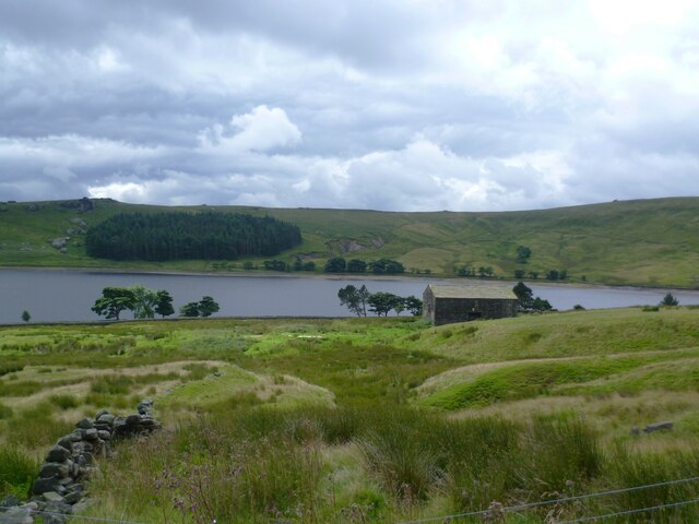
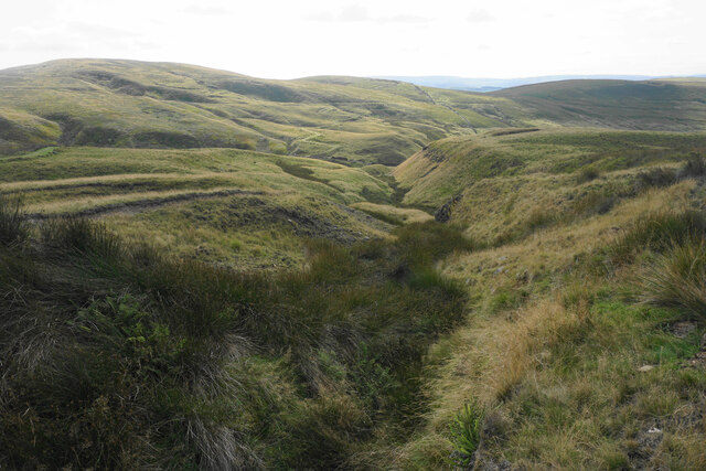
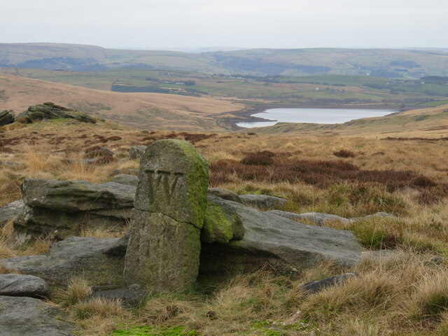
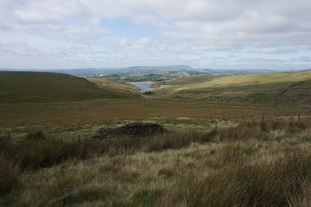
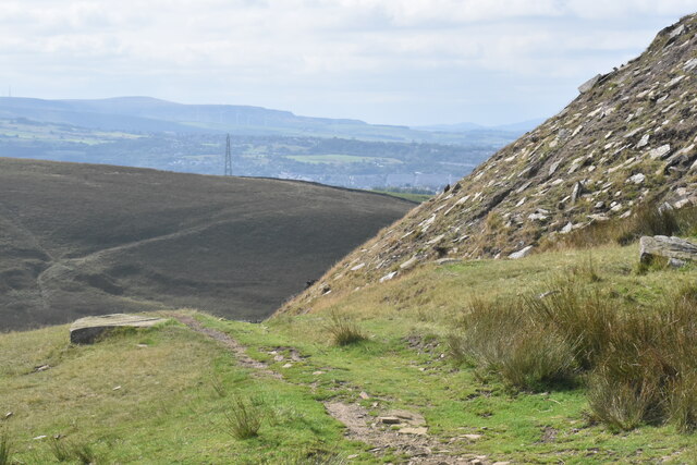
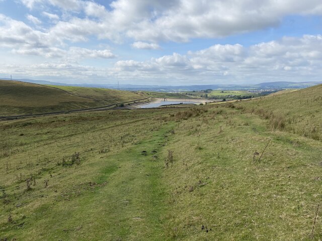
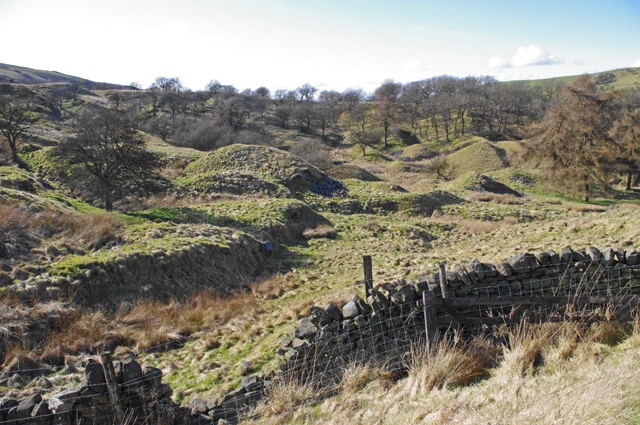
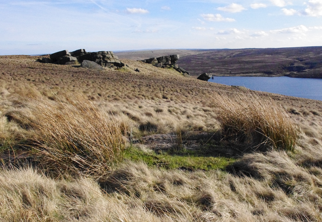
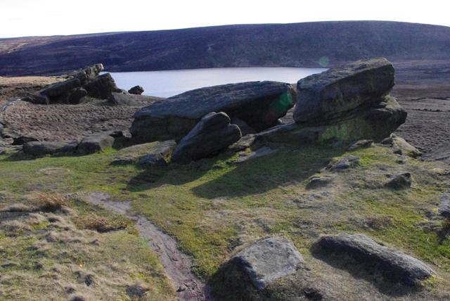
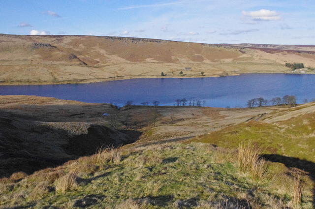
Rapes Clough, located in the county of Lancashire, England, is a picturesque valley that offers breathtaking natural beauty and a rich history. Nestled within the larger Forest of Bowland, a designated Area of Outstanding Natural Beauty, Rapes Clough is renowned for its tranquil atmosphere and stunning landscapes.
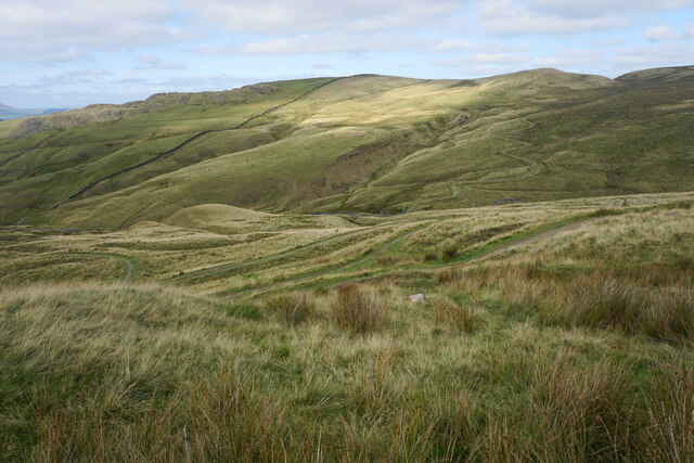
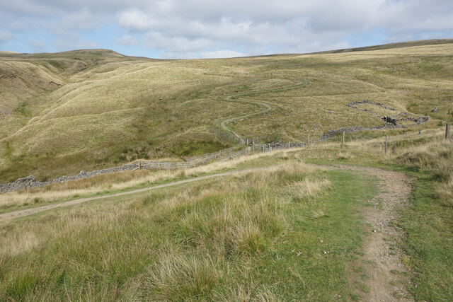
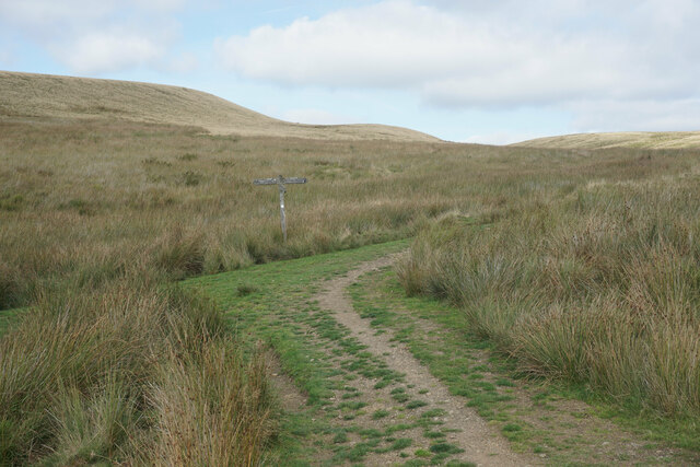
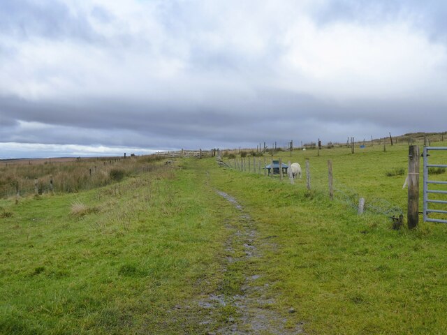
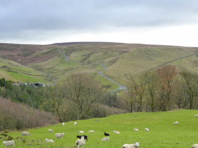
The valley is characterized by lush greenery, rolling hills, and meandering streams, making it an ideal destination for hikers, nature enthusiasts, and photographers. The area is home to a diverse range of flora and fauna, including rare species such as the pied flycatcher and the bilberry bumblebee.
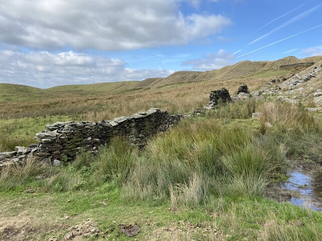
Rapes Clough also holds historical significance, with evidence of human activity dating back thousands of years. Archaeological findings suggest that the area was inhabited during the Neolithic period, and remnants of ancient settlements and burial mounds have been discovered nearby.
Visitors to Rapes Clough can enjoy various outdoor activities, such as walking along the numerous trails that crisscross the valley or picnicking by the babbling brooks. The valley is also a popular spot for birdwatching, as it attracts a wide array of bird species throughout the year.
The tranquility and natural beauty of Rapes Clough make it an idyllic escape from the hustle and bustle of city life. Whether it's exploring its scenic trails, immersing oneself in its rich history, or simply taking in the panoramic views, Rapes Clough offers a truly captivating experience for all who venture into its enchanting valley.
If you have any feedback on the listing, please let us know in the comments section below.
Rapes Clough Images
Images are sourced within 2km of 53.799331/-2.1331874 or Grid Reference SD9133. Thanks to Geograph Open Source API. All images are credited.
Rapes Clough is located at Grid Ref: SD9133 (Lat: 53.799331, Lng: -2.1331874)
Administrative County: Lancashire
District: Burnley
Police Authority: Lancashire
What 3 Words
///draining.endearing.retiring. Near Nelson, Lancashire
Nearby Locations
Related Wikis

Boulsworth Hill
Boulsworth Hill is a large expanse of moorland, the highest point of the South Pennines of south-eastern Lancashire, England, separating the Borough of...

Worsthorne-with-Hurstwood
Worsthorne-with-Hurstwood is a civil parish in the Borough of Burnley, in Lancashire, England. Situated on the eastern outskirts of Burnley, in 2011 it...
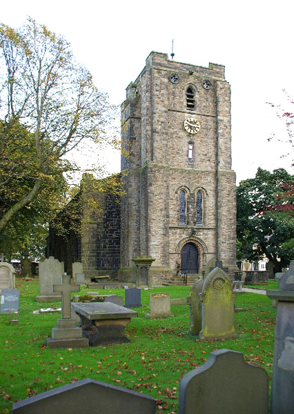
St John the Evangelist's Church, Worsthorne
St John the Evangelist's Church is in Church Square in the village of Worsthorne, Lancashire, England. It is an active Anglican parish church in the deanery...

Briercliffe
Briercliffe (historically Briercliffe-with-Extwistle) is a civil parish in the borough of Burnley, in Lancashire, England. It is situated 3 miles (4.8...

Hurstwood
Hurstwood is a rural hamlet on the eastern outskirts of Burnley in Lancashire, England. It is in the civil parish of Worsthorne-with-Hurstwood and the...

Worsthorne
Worsthorne is a rural village on the eastern outskirts of Burnley in Lancashire, England. It is in the civil parish of Worsthorne-with-Hurstwood and the...

Trawden Brook
Trawden Brook is a minor river in Lancashire, England. It is 3.48 miles (5.6 km) long and has a catchment area of 4.40 square miles (11.4 km2).Rising on...

Fother Royd Wood
Fother Royd Wood is a woodland in Lancashire, England, near Worsthorne. It covers a total area of 1.03 hectares (2.55 acres). It is owned and managed by...
Nearby Amenities
Located within 500m of 53.799331,-2.1331874Have you been to Rapes Clough?
Leave your review of Rapes Clough below (or comments, questions and feedback).