Harden Clough
Valley in Yorkshire Pendle
England
Harden Clough

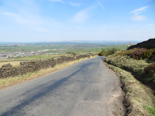
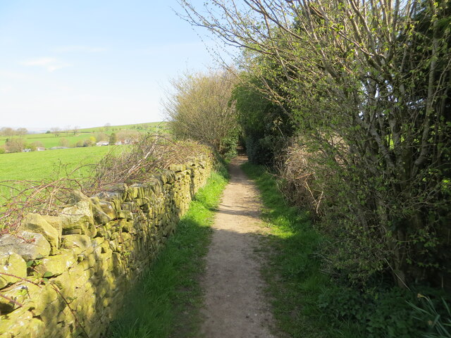
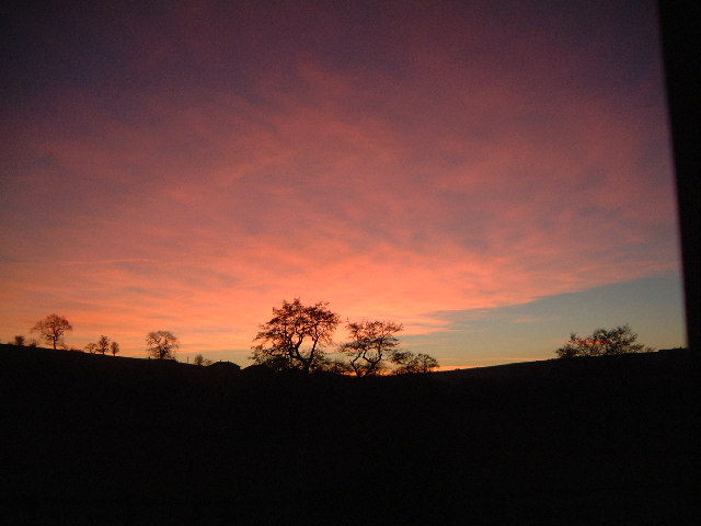
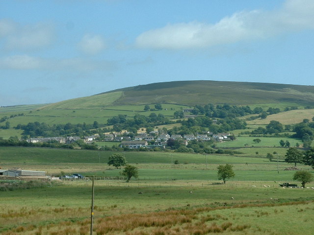
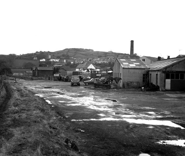
Harden Clough, located in Yorkshire, England, is a picturesque valley renowned for its natural beauty and tranquil surroundings. Nestled within the Pennine Hills, this idyllic valley offers visitors an opportunity to immerse themselves in the stunning countryside of Yorkshire.
The valley is characterized by its lush greenery, rolling hills, and meandering streams. The landscape is dotted with charming stone-built houses and traditional farmsteads, adding to the area's rustic charm. The area is a haven for wildlife enthusiasts, with a diverse range of flora and fauna inhabiting the valley. Visitors can spot various species of birds, small mammals, and even deer roaming freely in the countryside.
Harden Clough also boasts several walking trails that cater to all abilities, allowing visitors to explore the valley's natural wonders. The trails offer breathtaking views of the surrounding hills and valleys, making it a popular destination for hikers and nature enthusiasts.
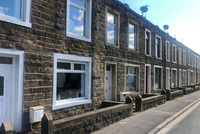
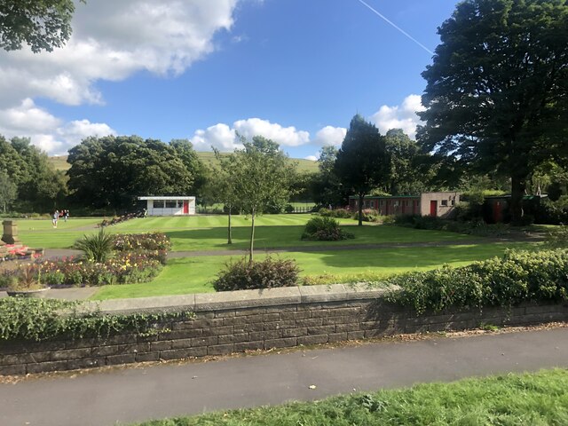
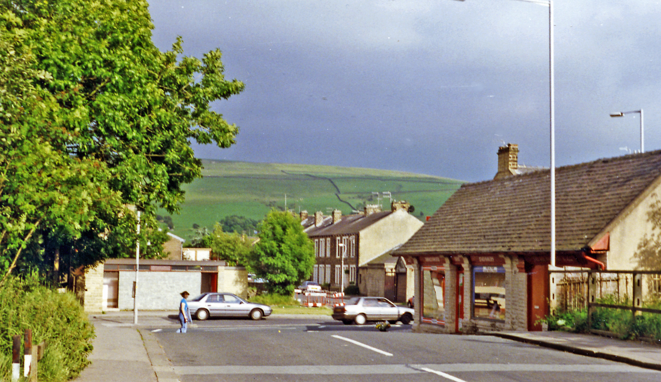
In addition to its natural attractions, Harden Clough is also home to a vibrant community. The nearby village of Harden provides amenities such as local pubs, shops, and cafes, offering visitors a chance to experience the warmth and hospitality of Yorkshire culture.
Overall, Harden Clough is a hidden gem in Yorkshire, offering a serene escape from the hustle and bustle of daily life. Whether it's for a leisurely stroll, wildlife spotting, or simply appreciating the beauty of nature, this valley offers a truly unforgettable experience for all who visit.
If you have any feedback on the listing, please let us know in the comments section below.
Harden Clough Images
Images are sourced within 2km of 53.897263/-2.1334384 or Grid Reference SD9144. Thanks to Geograph Open Source API. All images are credited.


![Old Milestone, A56, South end of Kelbrook Located on the East side of road, on verge just South of village sign. Metal plate attached to stone post, WR casting design, erected in the 19th century.
Inscription reads: COLNE / 3 MILES :: SKIPTON / 9 MILES :: COLNE / & / BROUGHTON / ROAD / [Yorks Wr {plastic letters}] / KELBROOK
Milestone Society National ID: YW_SKCO09](https://s0.geograph.org.uk/geophotos/07/67/28/7672816_69a5f810.jpg)


Harden Clough is located at Grid Ref: SD9144 (Lat: 53.897263, Lng: -2.1334384)
Division: West Riding
Administrative County: Lancashire
District: Pendle
Police Authority: Lancashire
What 3 Words
///negotiators.defining.saved. Near Earby, Lancashire
Nearby Locations
Related Wikis
Kelbrook
Kelbrook is a village in the civil parish of Kelbrook and Sough, Borough of Pendle, in Lancashire, England. It lies on the A56 road between Colne and Earby...

Kelbrook and Sough
Kelbrook and Sough is a civil parish in the Pendle district of Lancashire, England. It has a population of 1,008, and contains the village of Kelbrook...

Sough, Lancashire
Sough is a hamlet, in Lancashire, England. Sough is located east of the main A56 road between Earby and Kelbrook; it is in the area known as West Craven...

A58 road
The A58 is a major road in Northern England running between Prescot, Merseyside and Wetherby, West Yorkshire. == Route from West to East == Its westbound...
Earby railway station
Earby railway station was a junction station that served the town of Earby, in the West Riding of Yorkshire, England. Since 1974 Earby is within the boundaries...

Earby
Earby is a town and civil parish within the Borough of Pendle, Lancashire, England. Although within the boundaries of the historic West Riding of Yorkshire...
Noyna Hill
Noyna Hill (sometimes called Noyna or Noyna Rock/s) is a hill in the Pennine range in Pendle, Lancashire, England. It is a mile east of Foulridge and it...
Salterforth
Salterforth is a village and civil parish within the Borough of Pendle in Lancashire, England. The population of the Civil Parish at the 2011 census was...
Related Videos

The PENDLE Way - Day 1 - A winter weekend expedition with wild camping
The Pendle Way is a 45 mile hike in the rolling hills and moors of Lancashire. Due to the limited daylight hours of winter this ...

The PENDLE Way - Day 3 - A winter weekend expedition with wild camping
The Pendle Way is a 45 mile hike in the rolling hills and moors of Lancashire. Due to the limited daylight hours of winter, this ...

Lovely v-ewes around Ewe Time Holiday Barn
Views from the moors above Kelbrook, on the border of Lancashire and Yorkshire in northern England. Accessible from our ...

Synovial Sarcoma: Walking with sarcoma - consolidated summary
Clips from all my vlogs in January, just so people who haven't seen my full vlogs can get a gist of what I'm doing. Music by ...
Nearby Amenities
Located within 500m of 53.897263,-2.1334384Have you been to Harden Clough?
Leave your review of Harden Clough below (or comments, questions and feedback).