West Cleugh

Valley in Northumberland

England

West Cleugh

Storm Arwen destruction at Harbottle Wood Just a sample of the devastation wrought by Storm Arwen.  Localised examples like this can be seen in many parts of this forest.
Storm Arwen destruction at Harbottle Wood Credit: Leanmeanmo

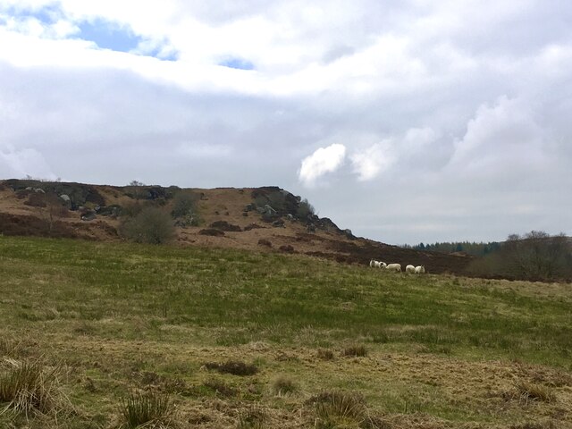
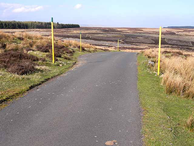
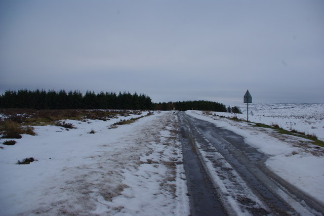
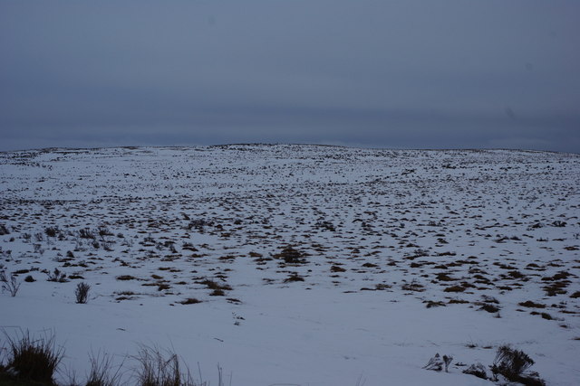
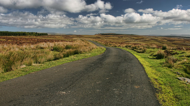
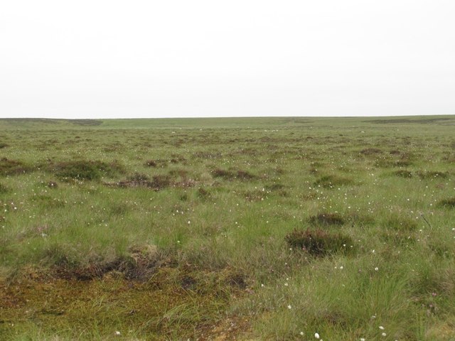
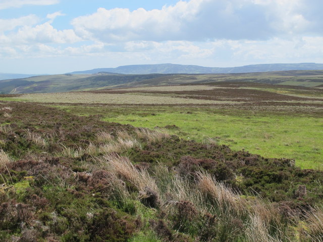
West Cleugh is a picturesque valley located in the county of Northumberland, England. Situated in the northern part of the county, it is nestled amidst the scenic North Pennines Area of Outstanding Natural Beauty. The valley is surrounded by rolling hills and lush green meadows, offering visitors a tranquil and idyllic setting to explore.

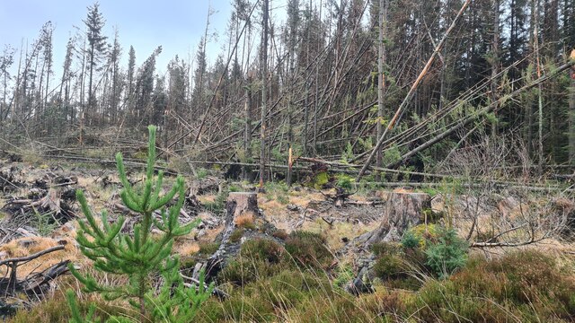
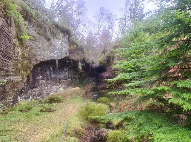
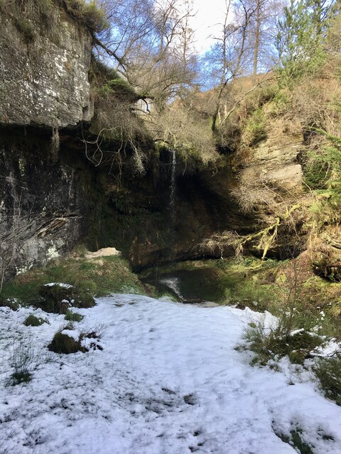
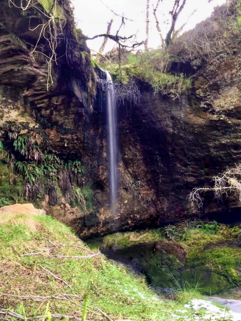
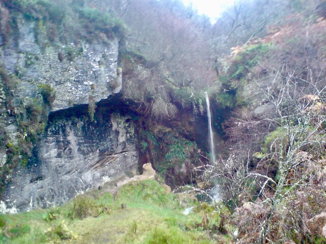
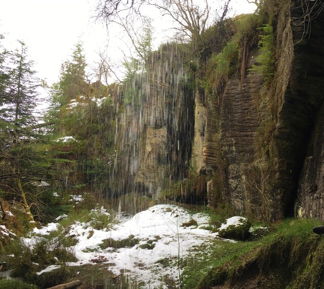
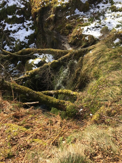
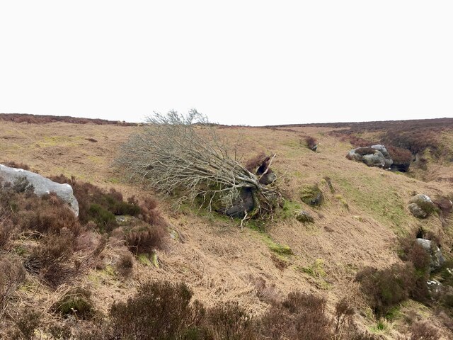
The landscape of West Cleugh is characterized by its rugged beauty, with steep slopes and rocky outcrops dotting the area. The valley is crisscrossed by a meandering stream, which adds to the charm of the surroundings. The stream is home to a variety of wildlife, including otters and numerous species of birds, making it a haven for nature lovers and birdwatchers.

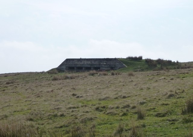
The valley is also known for its rich history and archaeological significance. There are remnants of ancient settlements and historic landmarks scattered throughout the area, providing a glimpse into the region's past. The nearby ruins of West Cleugh Bastle, a fortified farmhouse dating back to the 16th century, serve as a reminder of the area's turbulent history.

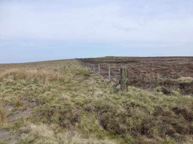
For outdoor enthusiasts, West Cleugh offers a range of activities. The valley is a popular destination for hiking and walking, with numerous trails that cater to all levels of fitness. The surrounding hills provide ample opportunities for mountain biking and horseback riding, attracting adventure seekers from far and wide.

In conclusion, West Cleugh is a hidden gem in Northumberland, offering visitors a chance to immerse themselves in the unspoiled beauty of the North Pennines. With its stunning landscapes, rich history, and diverse range of outdoor activities, the valley is a must-visit destination for those seeking a peaceful and awe-inspiring experience.

If you have any feedback on the listing, please let us know in the comments section below.

West Cleugh Images

Images are sourced within 2km of 55.309113/-2.1379413 or Grid Reference NT9101. Thanks to Geograph Open Source API. All images are credited.

Storm Arwen destruction at Harbottle Wood Just a sample of the devastation wrought by Storm Arwen.  Localised examples like this can be seen in many parts of this forest.
Storm Arwen destruction at Harbottle Wood
Just a sample of the devastation wrought by Storm Arwen. Localised examples like this can be seen in many parts of this forest.
Dove Crag waterfall Certainly a contender for prettiest waterfall in Northumberland in its Fairy Glen setting.  The waterfall itself, visible in the centre of the picture, is often only a thin trickle of water.  Strangely, the sandstone pillar to the left of the fall has lost about half its height since Andrew Curtis' photo <a href="https://www.geograph.org.uk/photo/1484414">NT9202 : Dove Crag</a> was taken some 13 years earlier.
Dove Crag waterfall
Certainly a contender for prettiest waterfall in Northumberland in its Fairy Glen setting. The waterfall itself, visible in the centre of the picture, is often only a thin trickle of water. Strangely, the sandstone pillar to the left of the fall has lost about half its height since Andrew Curtis' photo NT9202 : Dove Crag was taken some 13 years earlier.
Dove Crag waterfall Certainly a contender for prettiest waterfall in Northumberland, in its Fairy Glen setting, we were lucky to see it with a reasonable steam of water. Strangely, the sandstone pillar to the left of the fall has lost about half its height since Andrew Curtis' photo <a href="https://www.geograph.org.uk/photo/1484414">NT9202 : Dove Crag</a> was taken some 13 years earlier.
Dove Crag waterfall
Certainly a contender for prettiest waterfall in Northumberland, in its Fairy Glen setting, we were lucky to see it with a reasonable steam of water. Strangely, the sandstone pillar to the left of the fall has lost about half its height since Andrew Curtis' photo NT9202 : Dove Crag was taken some 13 years earlier.
Dove Crag waterfall We were lucky to see it with an unusually large stream of water.
Dove Crag waterfall
We were lucky to see it with an unusually large stream of water.
Dove Crag waterfall Looking at the Fairy Glen from behind the waterfall.
Dove Crag waterfall
Looking at the Fairy Glen from behind the waterfall.
Upper waterfall at Dove Crag The OS map indicates 'falls' at this location and, sure enough, about 50m up the gorge from the main one, there is another waterfall.  It's not quite so tall and very inaccessible.
Upper waterfall at Dove Crag
The OS map indicates 'falls' at this location and, sure enough, about 50m up the gorge from the main one, there is another waterfall. It's not quite so tall and very inaccessible.
Crags above South Yardhope On the edge of the Otterburn Ranges training area.
Crags above South Yardhope
On the edge of the Otterburn Ranges training area.
Storm Arwen at Rowantree Cleugh Even the hard-as-nails Rowan tree was no match for the fury of Storm Arwen.
Storm Arwen at Rowantree Cleugh
Even the hard-as-nails Rowan tree was no match for the fury of Storm Arwen.
Fence on hill called Black House The fence crosses the road with a cattle (sheep) grid.
Fence on hill called Black House
The fence crosses the road with a cattle (sheep) grid.
Bunker on Highspoon Hill An evil looking building!
Bunker on Highspoon Hill
An evil looking building!
Black House? The 25k OS map indicates this area as Black House, but why it does so is a big mystery as there is nothing obvious. There is another road salt grit box here as in NT8900
Black House?
The 25k OS map indicates this area as Black House, but why it does so is a big mystery as there is nothing obvious. There is another road salt grit box here as in NT8900
Holystone Road Snow poles mark the line of the main access road across the southern edge of Otterburn Ranges leading to Holystone village. Normally the range roads are closed to the public, the exceptions being two weeks at Christmas/New Year, four weeks mid-April to mid-May (lambing season) and one weekend a month. The plantation on the skyline is on Highspoon Hill.
Holystone Road
Snow poles mark the line of the main access road across the southern edge of Otterburn Ranges leading to Holystone village. Normally the range roads are closed to the public, the exceptions being two weeks at Christmas/New Year, four weeks mid-April to mid-May (lambing season) and one weekend a month. The plantation on the skyline is on Highspoon Hill.
Highspoon Hill Military road
Highspoon Hill
Military road
Military land Otterburn military training area
Military land
Otterburn military training area
Black House Road crossing the Otterburn Ranges at Black House.
Black House
Road crossing the Otterburn Ranges at Black House.
Rigg Moss
Rigg Moss
Moorland southeast of Black House
Show me another place!

West Cleugh is located at Grid Ref: NT9101 (Lat: 55.309113, Lng: -2.1379413)

Unitary Authority: Northumberland

Police Authority: Northumbria

What 3 Words

///modern.custard.coping. Near Rochester, Northumberland

Nearby Locations

West Cleugh

Related Wikis

Harbottle Castle

Harbottle Castle is a ruined medieval castle situated at the west end of the village of Harbottle, Northumberland, England, 9 miles (14 km) west-north...

Harbottle

Harbottle is a village and civil parish in Northumberland, England about 10 miles (16 km) south-east of the Scottish border, in the southeastern part of...

River Alwin

The River Alwin is a short, steep upland river that drains the Kidland Forest on the southern flanks of the Cheviot Hills, in the Northumberland National...

Holystone, Northumberland

Holystone is a small village and former civil parish, now in the parish of Harbottle, in Northumberland, England. It lies on the edge of (and just within...

Nearby Amenities

Located within 500m of 55.309113,-2.1379413
Passing Place
Lat/Long: 55.310273/-2.1347843
Passing Place
Lat/Long: 55.3088434/-2.1307457
Passing Place
Lat/Long: 55.3094278/-2.1409883
Passing Place
Lat/Long: 55.3105624/-2.1320235
The data included in this document is from www.openstreetmap.org. The data is made available under ODbL.

Have you been to West Cleugh?

Leave your review of West Cleugh below (or comments, questions and feedback).