Under Clough

Valley in Lancashire

England

Under Clough

A moorland pond below Hogshead Law Hill
A moorland pond below Hogshead Law Hill Credit: Bill Boaden

Under Clough, Lancashire (Valley) is a picturesque and tranquil area located in the heart of Lancashire, England. Nestled within the rolling hills and lush countryside, this valley is renowned for its natural beauty and serene atmosphere.

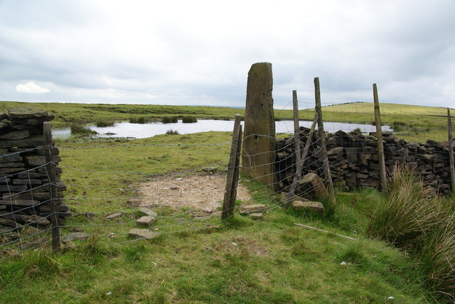
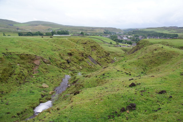
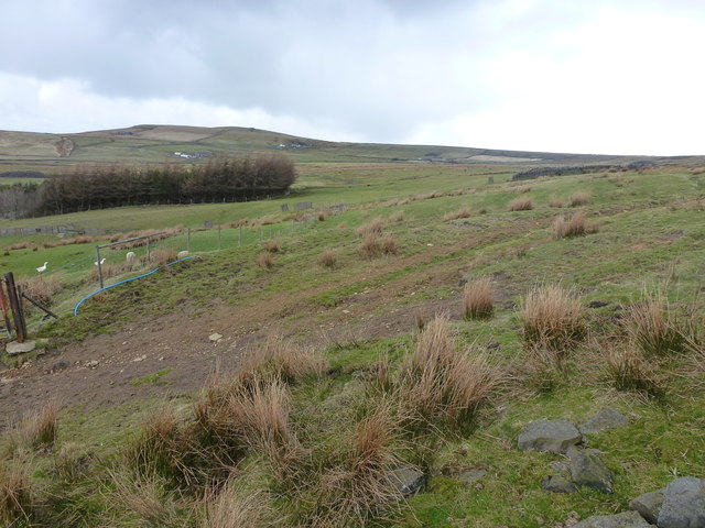
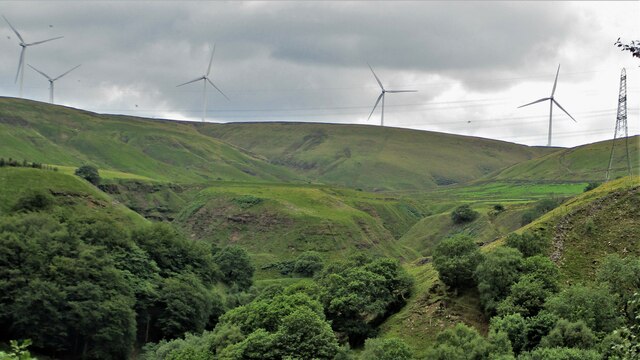
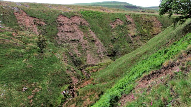
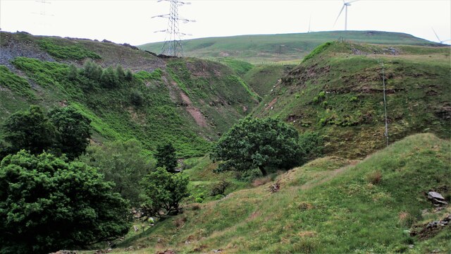
The valley is characterized by its stunning landscapes, with verdant meadows, dense woodlands, and a meandering river that flows through the heart of the area. The river, known as Clough River, adds to the charm of the valley as it cascades over small waterfalls and creates a soothing ambiance.

Under Clough is a haven for nature enthusiasts and outdoor lovers, offering numerous opportunities for hiking, cycling, and wildlife spotting. The valley is home to a diverse range of flora and fauna, with a variety of bird species, small mammals, and wildflowers flourishing in the area.

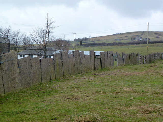
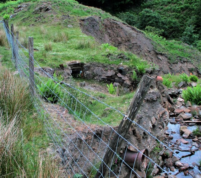
Historically, Under Clough has been an agricultural community, with farms dotting the landscape and adding to the rustic charm of the valley. The local residents have a strong connection to their land and take pride in preserving the traditional way of life.

Despite its rural setting, Under Clough is conveniently located near the town of Clitheroe, which provides access to various amenities such as shops, restaurants, and leisure facilities. Additionally, the valley is within easy reach of the Forest of Bowland Area of Outstanding Natural Beauty, offering even more opportunities for outdoor exploration.

Under Clough, Lancashire (Valley) is a hidden gem that offers a peaceful retreat from the hustle and bustle of city life. Its natural beauty, rich wildlife, and welcoming community make it a perfect destination for those seeking tranquility and a connection with nature.

If you have any feedback on the listing, please let us know in the comments section below.
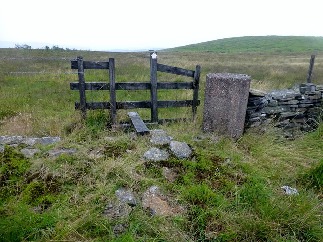
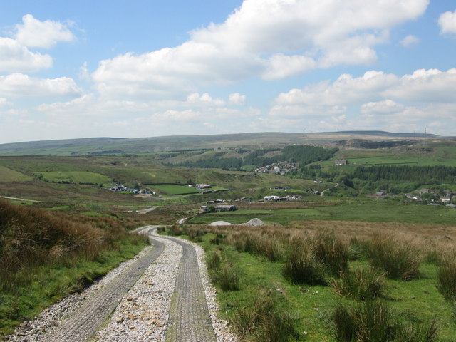
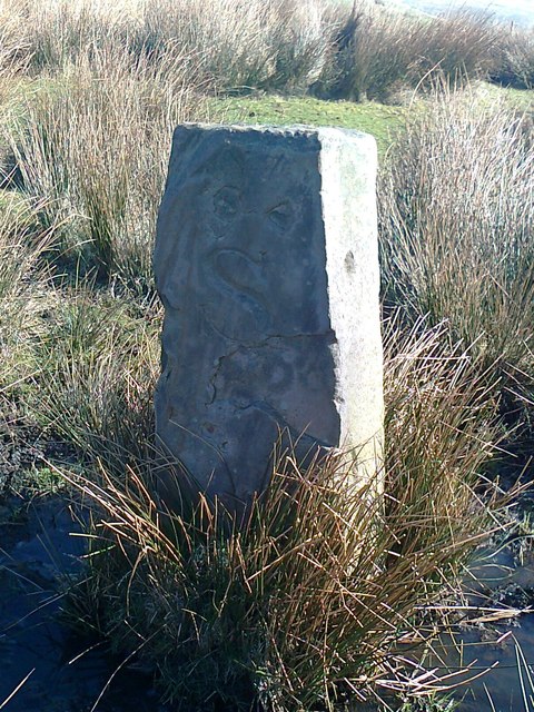
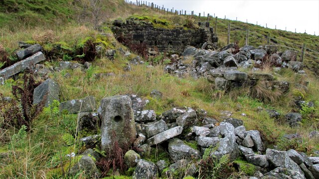
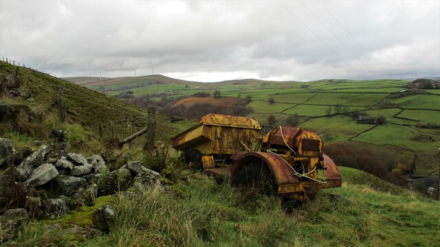
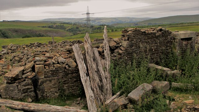
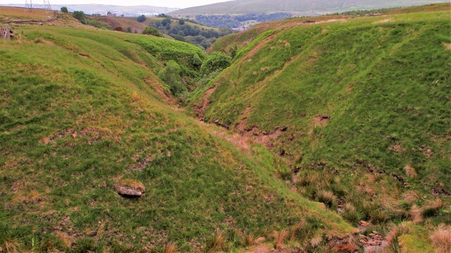
Under Clough Images

Images are sourced within 2km of 53.688805/-2.1332617 or Grid Reference SD9121. Thanks to Geograph Open Source API. All images are credited.

A moorland pond below Hogshead Law Hill
The River Spodden near Gander Brow Above Shawforth it is still small, but nevertheless can cut a significant clough.
The River Spodden near Gander Brow
Above Shawforth it is still small, but nevertheless can cut a significant clough.
Farm tracks divide They run parallel for a while beyond this point, which makes you think the farmers once may not have seen eye to eye.
Farm tracks divide
They run parallel for a while beyond this point, which makes you think the farmers once may not have seen eye to eye.
Just in Lancashire A moorland pond on the Lancashire side of the county boundary. The photographer is standing in Yorkshire.
Just in Lancashire
A moorland pond on the Lancashire side of the county boundary. The photographer is standing in Yorkshire.
Rough pasture and wood east of Shawforth
Vaccary Walling at Lower Trough
Footpath Towards Shawforth A footpath leaves the Rossendale Way at right angles heading in the general direction of Shawforth.  There are a number on concrete cylinder blocks included in the dry stone wall beside the boggy Rossendale Way around here.
Footpath Towards Shawforth
A footpath leaves the Rossendale Way at right angles heading in the general direction of Shawforth. There are a number on concrete cylinder blocks included in the dry stone wall beside the boggy Rossendale Way around here.
Descending to Shawforth from Knowsley
Old Boundary Marker Estate Boundary Marker on Brown Wardle Hill, 150 metres north of Middle Hill Quarries. On the boundary of Whitworth and Wardle, now Whitworth and Rochdale. Inscribed H and S on opposite faces.

Milestone Society National ID: LA_WHIWAR19em
Old Boundary Marker
Estate Boundary Marker on Brown Wardle Hill, 150 metres north of Middle Hill Quarries. On the boundary of Whitworth and Wardle, now Whitworth and Rochdale. Inscribed H and S on opposite faces. Milestone Society National ID: LA_WHIWAR19em
White Slack Clough View from Strines Lane to the very steep sided Cloughs South of Ramsden Clough. White Slack Clough is the one on the left, the other is unnamed
White Slack Clough
View from Strines Lane to the very steep sided Cloughs South of Ramsden Clough. White Slack Clough is the one on the left, the other is unnamed
Naze Farm Remains Remains on North side of Naze Road
Naze Farm Remains
Remains on North side of Naze Road
Abandoned Dumper at Naze Farm The dumper's demise must be at a later date than the farm's demise. The valley of Dulesgate Water is beyond the dumper
Abandoned Dumper at Naze Farm
The dumper's demise must be at a later date than the farm's demise. The valley of Dulesgate Water is beyond the dumper
White Slack Remains A Grade II listed building on White Slack Gate
White Slack Remains
A Grade II listed building on White Slack Gate
Unnamed clough North of Cranberry Dam This clough joins with White Slack Clough towards Ramsden Wood
Unnamed clough North of Cranberry Dam
This clough joins with White Slack Clough towards Ramsden Wood
Unnamed clough West of White Slack Clough View North towards the confluence with White Slack Clough. There is a car body in the stream with no tracks suitable for vehicles nearby so how did it get there?
Unnamed clough West of White Slack Clough
View North towards the confluence with White Slack Clough. There is a car body in the stream with no tracks suitable for vehicles nearby so how did it get there?
Unnamed clough North of Cranberry Dam View upstream towards Cranberry Dam over car remains in stream
Unnamed clough North of Cranberry Dam
View upstream towards Cranberry Dam over car remains in stream
Canyon like White Slack Clough View South into the steep sided clough. Another unnamed clough from Cranberry Dam comes in from the right in this view
Canyon like White Slack Clough
View South into the steep sided clough. Another unnamed clough from Cranberry Dam comes in from the right in this view
Former Settlement Pond? A man made structure with pipe work exposed in the stream bank and what appear to be outlets from the dry pond. This is on the route from Cranberry Dam to the former Spring Mill site in Ramsden Wood. Could it be part of that mill feed system from the dam?
Former Settlement Pond?
A man made structure with pipe work exposed in the stream bank and what appear to be outlets from the dry pond. This is on the route from Cranberry Dam to the former Spring Mill site in Ramsden Wood. Could it be part of that mill feed system from the dam?
Show me another place!

Under Clough is located at Grid Ref: SD9121 (Lat: 53.688805, Lng: -2.1332617)

Unitary Authority: Calderdale

Police Authority: West Yorkshire

What 3 Words

///tens.bystander.springing. Near Walsden, West Yorkshire

Related Wikis

Walsden railway station

Walsden railway station (; WOLZ-dən) serves the village of Walsden, Todmorden in West Yorkshire, England, on the edge of the Pennines. It is served by...

Shawforth

Shawforth ( SHAW-fərth) is a ward in the township of Whitworth within the Rossendale borough of Lancashire, England. It lies amongst the South Pennines...

Walsden

Walsden (; WOLZ-dən) is a large village in the civil parish of Todmorden in the Metropolitan Borough of Calderdale, West Yorkshire, England. It was historically...

Shawforth railway station

Shawforth railway station served Shawforth near Bacup, Rossendale, Lancashire, England, from 1881 until closure in 1947. == References == Suggitt, Gordon...

Nearby Amenities

Located within 500m of 53.688805,-2.1332617
Ramsden Clough Reservoir
Note: site of former reservoir
Lat/Long: 53.688092/-2.1293513
The data included in this document is from www.openstreetmap.org. The data is made available under ODbL.

Have you been to Under Clough?

Leave your review of Under Clough below (or comments, questions and feedback).