Ramsden Clough Reservoir

Lake, Pool, Pond, Freshwater Marsh in Lancashire

England

Ramsden Clough Reservoir

Rough pasture and wood east of Shawforth
Rough pasture and wood east of Shawforth Credit: John H Darch

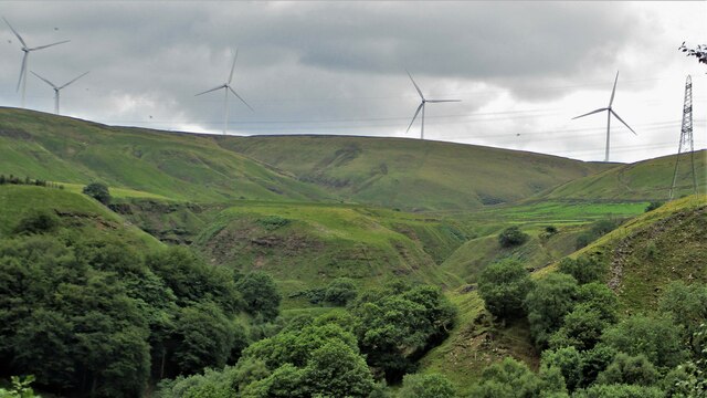
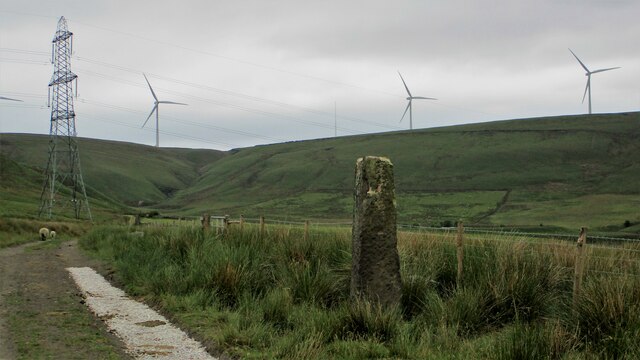
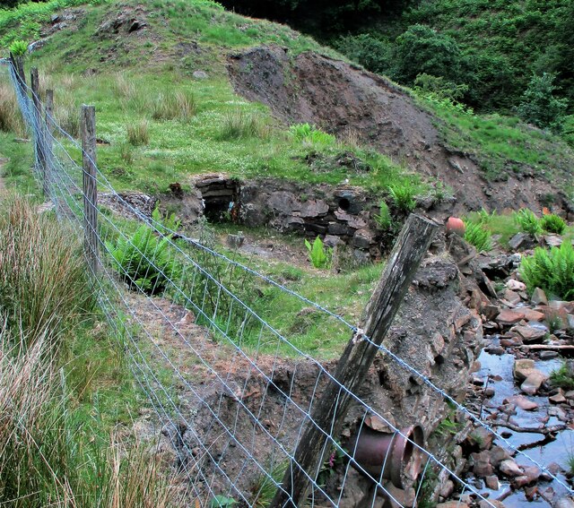
Ramsden Clough Reservoir is a picturesque freshwater lake located in the county of Lancashire, England. Situated in the beautiful West Pennine Moors, it spans over an area of approximately 20 acres. The reservoir was constructed in the late 19th century to provide a sustainable water supply for the local area.

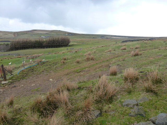
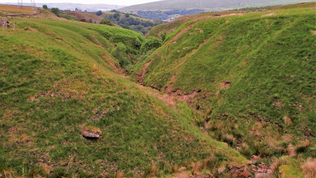
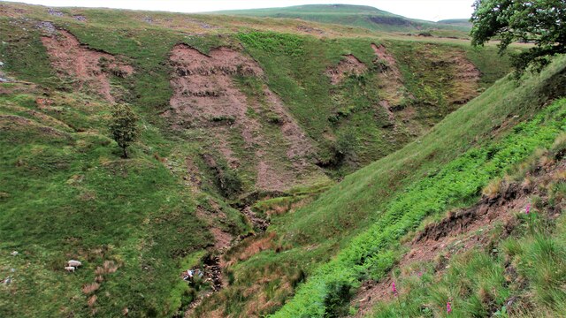
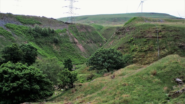
Surrounded by lush greenery and rolling hills, Ramsden Clough Reservoir offers a tranquil and serene setting for visitors to enjoy. The calm waters reflect the stunning landscape, creating a breathtaking sight for nature enthusiasts and photographers alike.

The reservoir is home to a variety of wildlife, both in and around its waters. Birdwatchers can spot numerous species of waterfowl, such as ducks, swans, and geese, as well as occasional sightings of herons and kingfishers. Fishing is also a popular activity at Ramsden Clough Reservoir, with anglers often catching trout and perch.

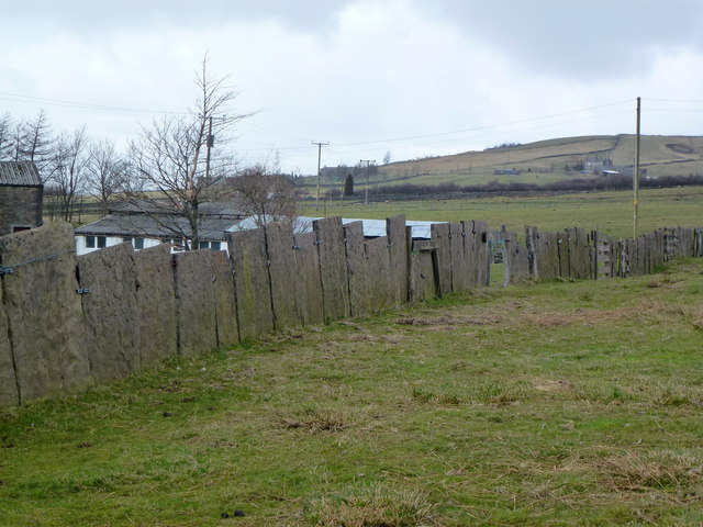
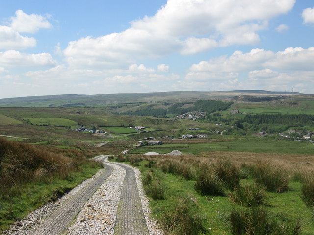
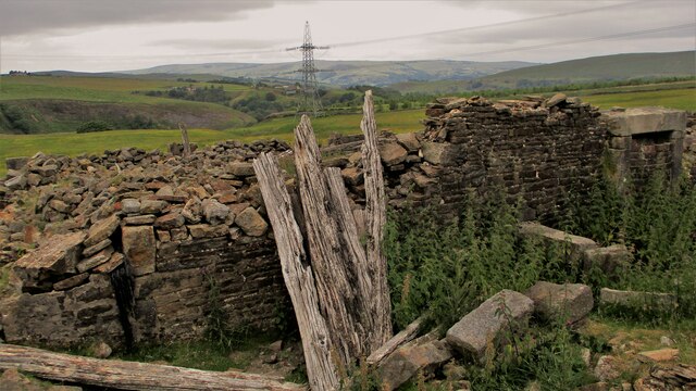
The area surrounding the reservoir is a haven for hikers and walkers, with several well-marked trails that provide stunning views of the lake and its surroundings. These paths also lead to Ramsden Wood, a nearby ancient woodland that is rich in biodiversity.

Ramsden Clough Reservoir is a popular destination for day trips and picnics, with ample space for families to relax and enjoy the peaceful ambiance. Visitors can take advantage of the designated picnic areas and benches that are scattered along the shoreline.

Overall, Ramsden Clough Reservoir is a hidden gem in Lancashire, offering a peaceful retreat for those seeking to connect with nature and experience the beauty of the West Pennine Moors.

If you have any feedback on the listing, please let us know in the comments section below.

Ramsden Clough Reservoir Images

Images are sourced within 2km of 53.687992/-2.1292616 or Grid Reference SD9121. Thanks to Geograph Open Source API. All images are credited.

Rough pasture and wood east of Shawforth
Vaccary Walling at Lower Trough
Descending to Shawforth from Knowsley
Old Boundary Marker Estate Boundary Marker on Brown Wardle Hill, 150 metres north of Middle Hill Quarries. On the boundary of Whitworth and Wardle, now Whitworth and Rochdale. Inscribed H and S on opposite faces.

Milestone Society National ID: LA_WHIWAR19em
Old Boundary Marker
Estate Boundary Marker on Brown Wardle Hill, 150 metres north of Middle Hill Quarries. On the boundary of Whitworth and Wardle, now Whitworth and Rochdale. Inscribed H and S on opposite faces. Milestone Society National ID: LA_WHIWAR19em
White Slack Clough View from Strines Lane to the very steep sided Cloughs South of Ramsden Clough. White Slack Clough is the one on the left, the other is unnamed
White Slack Clough
View from Strines Lane to the very steep sided Cloughs South of Ramsden Clough. White Slack Clough is the one on the left, the other is unnamed
Naze Farm Remains Remains on North side of Naze Road
Naze Farm Remains
Remains on North side of Naze Road
Abandoned Dumper at Naze Farm The dumper's demise must be at a later date than the farm's demise. The valley of Dulesgate Water is beyond the dumper
Abandoned Dumper at Naze Farm
The dumper's demise must be at a later date than the farm's demise. The valley of Dulesgate Water is beyond the dumper
Jubilee & Bottoms Mills View North from Allescholes Road
Jubilee & Bottoms Mills
View North from Allescholes Road
Gordon Rigg Garden Centre Retaining little of Winterbutlee Mill now mainly glasshouses and poly-tunnels. Viewed from Allescholes Road
Gordon Rigg Garden Centre
Retaining little of Winterbutlee Mill now mainly glasshouses and poly-tunnels. Viewed from Allescholes Road
Guide Stoop on White Slack Gate View past wayside marker stone to Horse Pasture Clough
Guide Stoop on White Slack Gate
View past wayside marker stone to Horse Pasture Clough
White Slack Remains A Grade II listed building on White Slack Gate
White Slack Remains
A Grade II listed building on White Slack Gate
Unnamed clough North of Cranberry Dam This clough joins with White Slack Clough towards Ramsden Wood
Unnamed clough North of Cranberry Dam
This clough joins with White Slack Clough towards Ramsden Wood
Unnamed clough West of White Slack Clough View North towards the confluence with White Slack Clough. There is a car body in the stream with no tracks suitable for vehicles nearby so how did it get there?
Unnamed clough West of White Slack Clough
View North towards the confluence with White Slack Clough. There is a car body in the stream with no tracks suitable for vehicles nearby so how did it get there?
Unnamed clough North of Cranberry Dam View upstream towards Cranberry Dam over car remains in stream
Unnamed clough North of Cranberry Dam
View upstream towards Cranberry Dam over car remains in stream
Canyon like White Slack Clough View South into the steep sided clough. Another unnamed clough from Cranberry Dam comes in from the right in this view
Canyon like White Slack Clough
View South into the steep sided clough. Another unnamed clough from Cranberry Dam comes in from the right in this view
Former Settlement Pond? A man made structure with pipe work exposed in the stream bank and what appear to be outlets from the dry pond. This is on the route from Cranberry Dam to the former Spring Mill site in Ramsden Wood. Could it be part of that mill feed system from the dam?
Former Settlement Pond?
A man made structure with pipe work exposed in the stream bank and what appear to be outlets from the dry pond. This is on the route from Cranberry Dam to the former Spring Mill site in Ramsden Wood. Could it be part of that mill feed system from the dam?
Gateway to Gorpley Reservoir An example of Todmorden Civic Pride for the construction of the reservoir 1900-05
Gateway to Gorpley Reservoir
An example of Todmorden Civic Pride for the construction of the reservoir 1900-05
Raven Nest Hill & Clough in Inchfield Moor The clough feeds into Gorpley Reservoir
Raven Nest Hill & Clough in Inchfield Moor
The clough feeds into Gorpley Reservoir
Show me another place!

Ramsden Clough Reservoir is located at Grid Ref: SD9121 (Lat: 53.687992, Lng: -2.1292616)

Unitary Authority: Calderdale

Police Authority: West Yorkshire

What 3 Words

///bubbles.camps.jots. Near Walsden, West Yorkshire

Related Wikis

Walsden railway station

Walsden railway station (; WOLZ-dən) serves the village of Walsden, Todmorden in West Yorkshire, England, on the edge of the Pennines. It is served by...

Walsden

Walsden (; WOLZ-dən) is a large village in the civil parish of Todmorden in the Metropolitan Borough of Calderdale, West Yorkshire, England. It was historically...

Shawforth

Shawforth ( SHAW-fərth) is a ward in the township of Whitworth within the Rossendale borough of Lancashire, England. It lies amongst the South Pennines...

Summit Tunnel

Summit Tunnel in England is one of the world's oldest railway tunnels. It was constructed between 1838 and 1841 by the Manchester and Leeds Railway Company...

Shawforth railway station

Shawforth railway station served Shawforth near Bacup, Rossendale, Lancashire, England, from 1881 until closure in 1947. == References == Suggitt, Gordon...

Dobroyd Castle

Dobroyd Castle is an important historic building above the town of Todmorden, West Yorkshire, England. It was built for John Fielden, local mill owner...

Britannia, Lancashire

Britannia is a suburb of Bacup in the Rossendale borough of Lancashire, England. It lies on the course of two major roads and has a school and a nature...

Summit Tunnel fire

The Summit Tunnel fire occurred on 20 December 1984, when a dangerous goods train caught fire while passing through the Summit Tunnel on the railway line...

Nearby Amenities

Located within 500m of 53.687992,-2.1292616
Design: barrel
Power: tower
Lat/Long: 53.6871218/-2.122698
Design: barrel
Power: tower
Lat/Long: 53.6899355/-2.1247036
Design: barrel
Power: tower
Lat/Long: 53.691951/-2.1260008
Ramsden Clough Reservoir
Note: site of former reservoir
Lat/Long: 53.688092/-2.1293513
The data included in this document is from www.openstreetmap.org. The data is made available under ODbL.

Have you been to Ramsden Clough Reservoir?

Leave your review of Ramsden Clough Reservoir below (or comments, questions and feedback).