Knowsley Clough
Valley in Lancashire Rossendale
England
Knowsley Clough
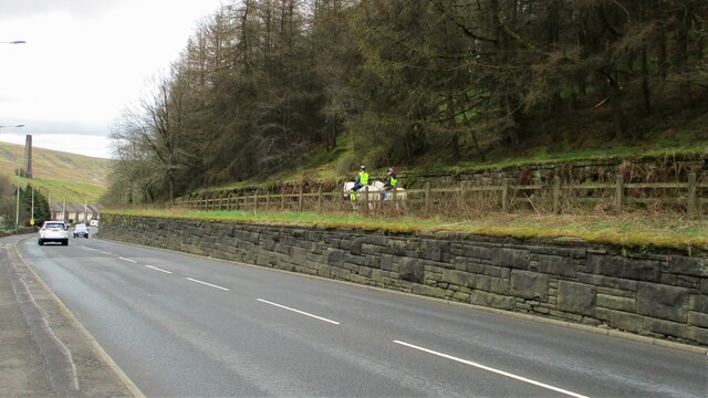
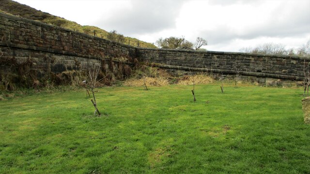
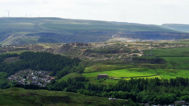
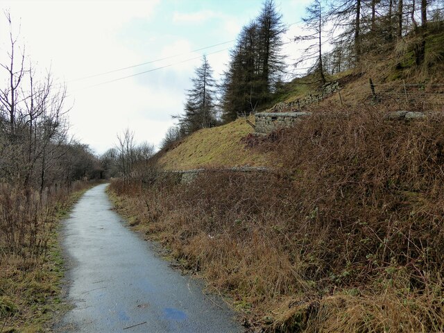
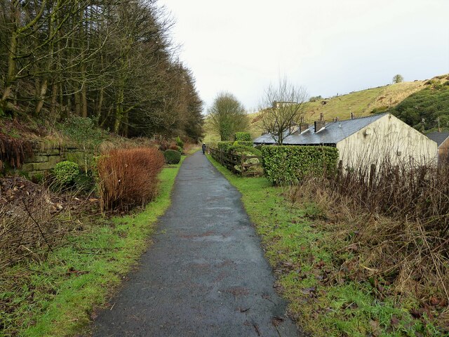
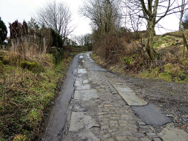
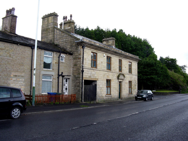
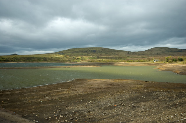
Knowsley Clough is a picturesque valley located in Lancashire, England. Situated in the borough of Knowsley, this charming rural area is known for its natural beauty and tranquil atmosphere. The valley is surrounded by lush green hills and is intersected by a meandering stream, which adds to its overall charm.
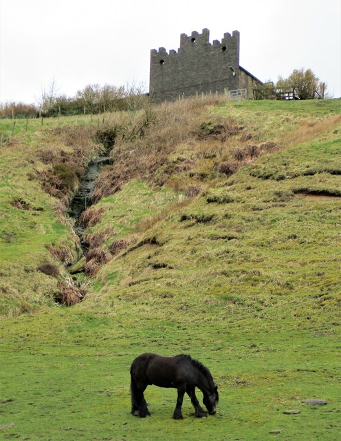
The Clough is a popular destination for nature lovers and outdoor enthusiasts due to its abundant wildlife and scenic trails. The valley is home to a diverse range of flora and fauna, making it an ideal spot for birdwatching and nature photography. Visitors can often spot various species of birds, including kingfishers, herons, and woodpeckers.
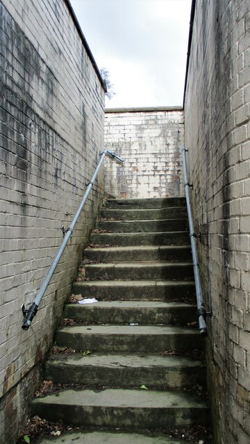
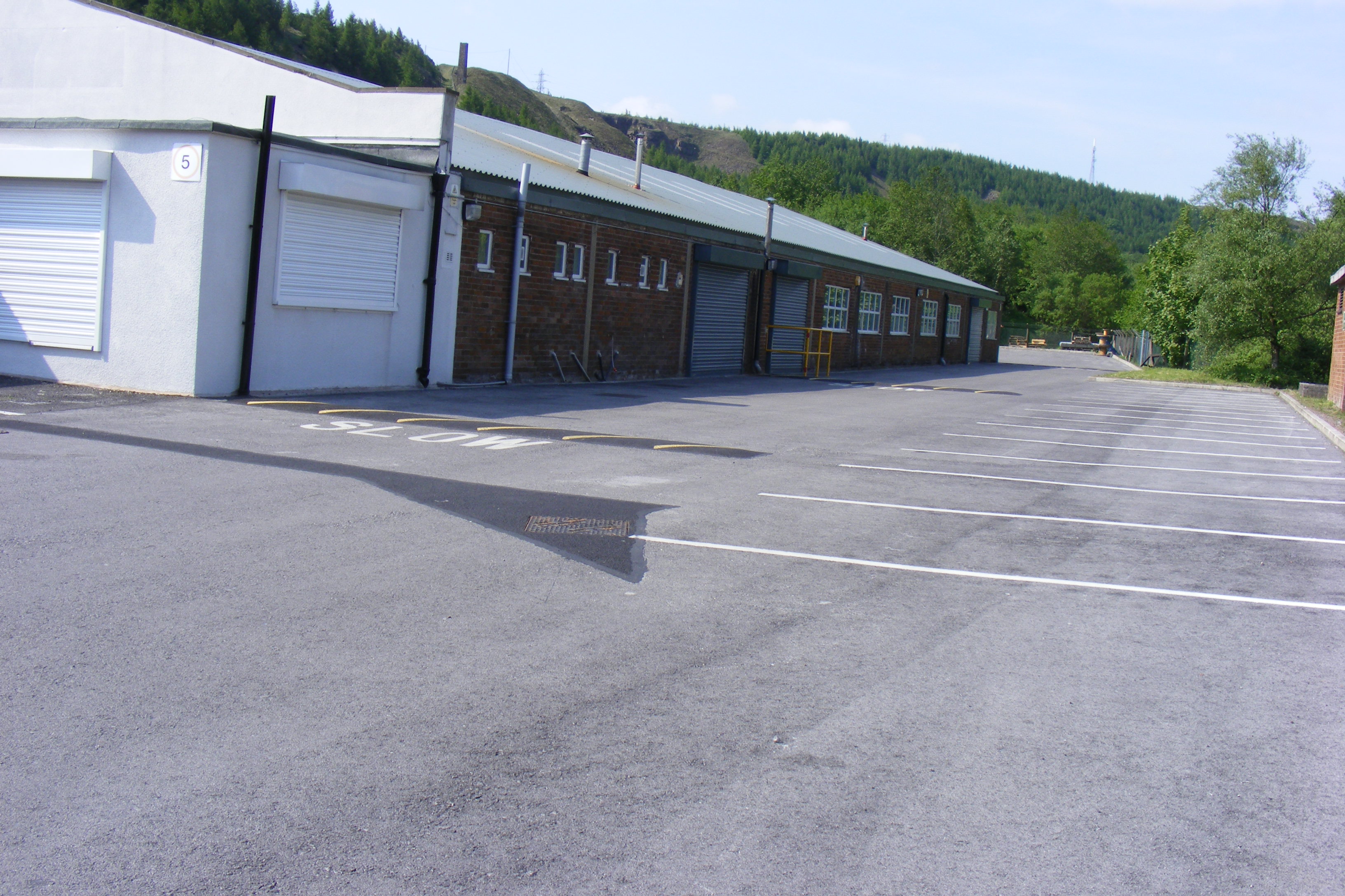
The area surrounding Knowsley Clough is also rich in history. The valley was once home to several mills, which played a significant role in Lancashire's industrial past. Today, remnants of these mills can still be seen, adding a touch of nostalgia to the landscape.
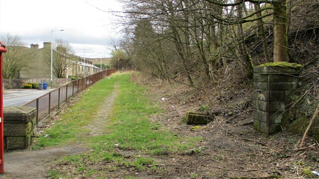
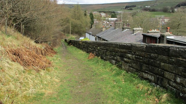
In addition to its natural beauty and historical significance, Knowsley Clough offers various recreational activities. The valley is a popular spot for hiking, with several well-maintained trails that cater to different levels of difficulty. These trails allow visitors to explore the valley's stunning scenery and enjoy breathtaking views of the surrounding countryside.
Overall, Knowsley Clough is a hidden gem in Lancashire that offers a peaceful retreat from the hustle and bustle of urban life. Whether for a leisurely walk, wildlife spotting, or simply soaking in the tranquility of nature, this valley has something to offer to everyone.
If you have any feedback on the listing, please let us know in the comments section below.
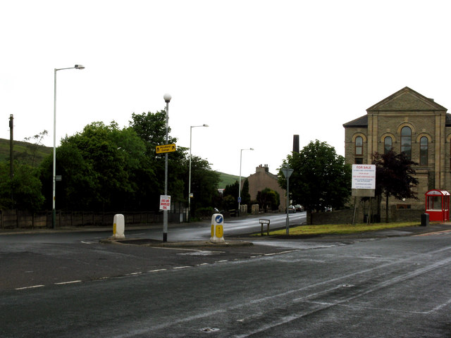
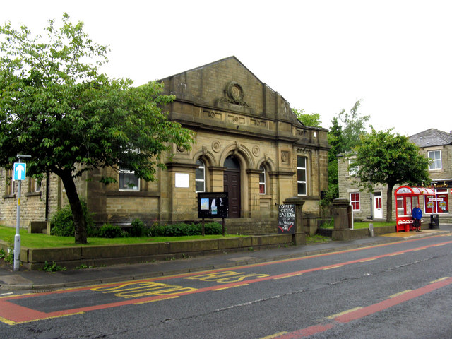
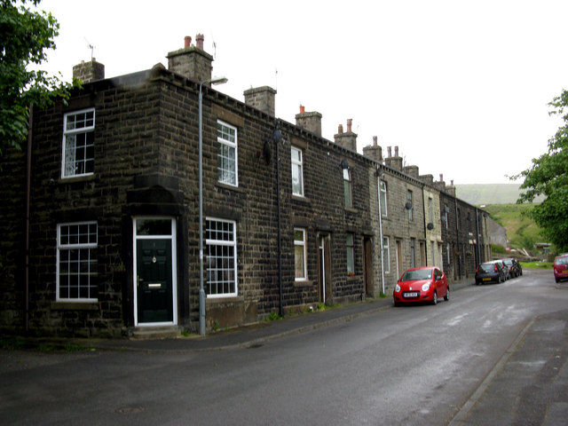
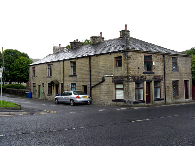
Knowsley Clough Images
Images are sourced within 2km of 53.680592/-2.1546127 or Grid Reference SD8920. Thanks to Geograph Open Source API. All images are credited.

Knowsley Clough is located at Grid Ref: SD8920 (Lat: 53.680592, Lng: -2.1546127)
Administrative County: Lancashire
District: Rossendale
Police Authority: Lancashire
What 3 Words
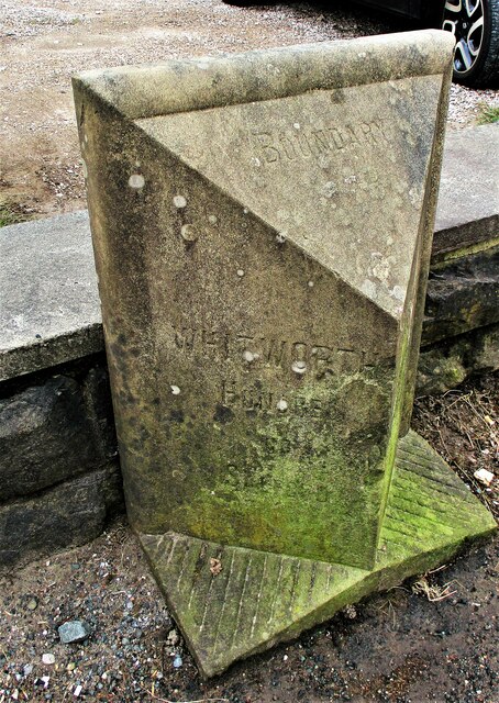
///quite.towns.spouting. Near Whitworth, Lancashire
Nearby Locations
Related Wikis

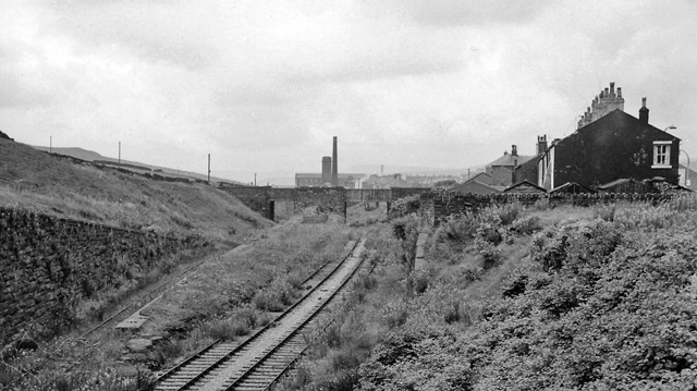
Shawforth railway station
Shawforth railway station served Shawforth near Bacup, Rossendale, Lancashire, England, from 1881 until closure in 1947. == References == Suggitt, Gordon...

Shawforth
Shawforth ( SHAW-fərth) is a ward in the township of Whitworth within the Rossendale borough of Lancashire, England. It lies amongst the South Pennines...

Britannia, Lancashire
Britannia is a suburb of Bacup in the Rossendale borough of Lancashire, England. It lies on the course of two major roads and has a school and a nature...
Brown Wardle Hill
Brown Wardle is a hill between the village of Wardle, Greater Manchester and the town of Whitworth, Lancashire, England. The summit is on the border of...
Facit railway station
Facit railway station served Facit near Whitworth, Rossendale, Lancashire, England, from 1870 until closure to passengers in 1947 and freight in 1963....
Britannia railway station
Britannia railway station served Britannia near Bacup, Lancashire, England, from 1881 until closure in 1917. The station was just to the west of the summit...

Whitworth, Lancashire
Whitworth is a town and civil parish in Rossendale, Lancashire, England, amongst the foothills of the Pennines between Bacup, to the north, and Rochdale...

Watergrove Reservoir
Watergrove Reservoir is a reservoir close to Wardle in the Metropolitan Borough of Rochdale, within Greater Manchester, England. Rochdale Corporation...
Nearby Amenities
Located within 500m of 53.680592,-2.1546127Have you been to Knowsley Clough?
Leave your review of Knowsley Clough below (or comments, questions and feedback).