Shawforth
Settlement in Lancashire Rossendale
England
Shawforth
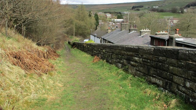
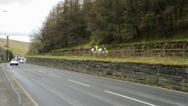
Shawforth is a small village located in the Rossendale district of Lancashire, England. Situated on the edge of the South Pennines, it is part of the larger civil parish of Whitworth. With a population of around 1,500 residents, Shawforth is known for its scenic beauty and close-knit community atmosphere.
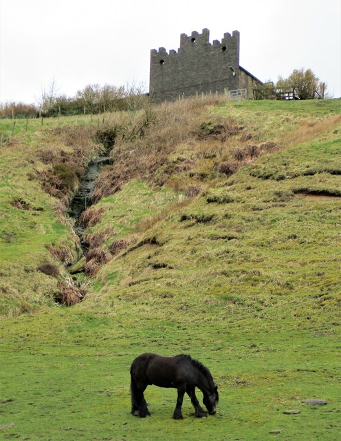
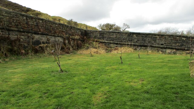
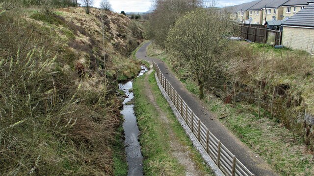
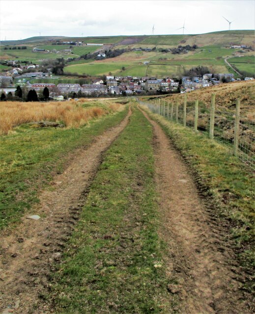
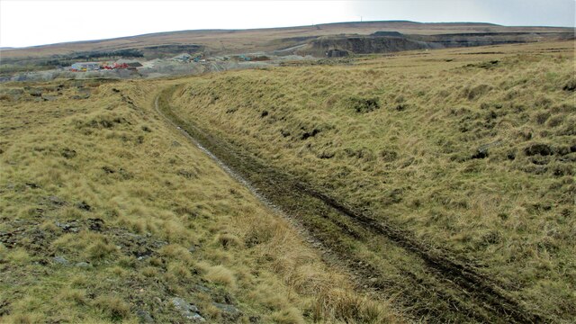
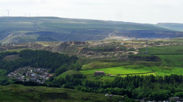
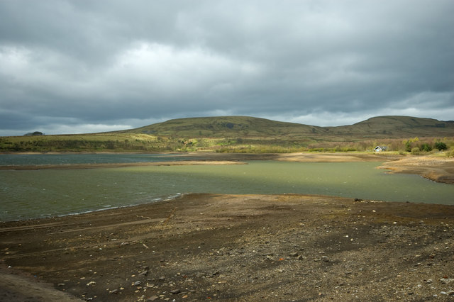
The village is surrounded by rolling hills and picturesque countryside, making it a popular destination for outdoor enthusiasts. Hiking and biking trails are abundant, offering opportunities for exploration and enjoyment of the stunning natural landscapes. The nearby Cowm Reservoir also provides a tranquil setting for fishing and birdwatching.
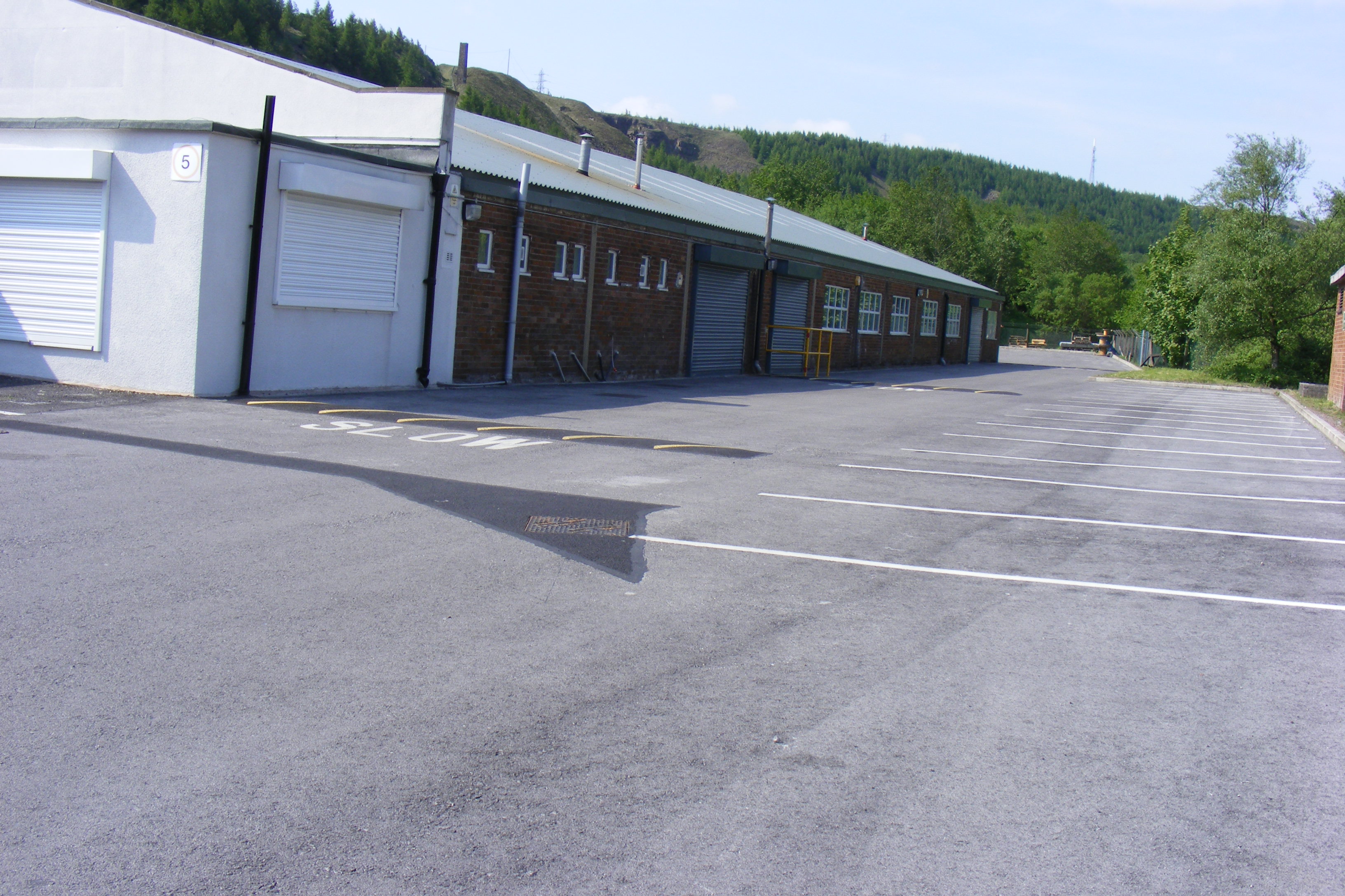
Shawforth has a rich industrial history, with cotton mills and coal mines once driving the local economy. The remnants of these industries can still be seen today, adding a touch of nostalgia to the village's character. The Shawforth Village Museum showcases the area's past, displaying artifacts and photographs that depict the village's industrial heritage.
Despite its small size, Shawforth benefits from several amenities and services. The village has a primary school, a post office, a convenience store, and a pub, providing essential resources for its residents. Additionally, the nearby town of Rochdale offers a wider range of amenities, including supermarkets, shopping centers, and leisure facilities.
Overall, Shawforth offers a peaceful and scenic setting for those seeking a quieter lifestyle away from the hustle and bustle of larger towns and cities. Its natural beauty, historical significance, and sense of community make it a charming place to live or visit in Lancashire.
If you have any feedback on the listing, please let us know in the comments section below.
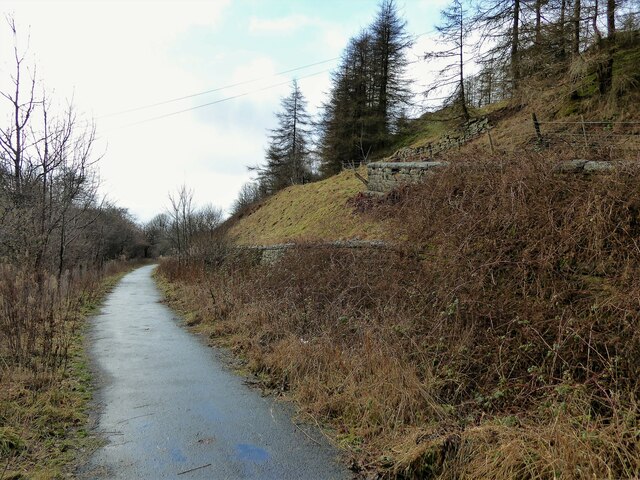
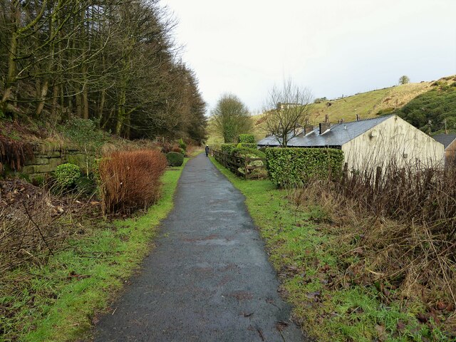
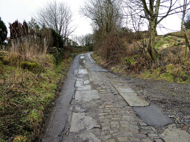
Shawforth Images
Images are sourced within 2km of 53.680487/-2.162871 or Grid Reference SD8920. Thanks to Geograph Open Source API. All images are credited.


Shawforth is located at Grid Ref: SD8920 (Lat: 53.680487, Lng: -2.162871)
Administrative County: Lancashire
District: Rossendale
Police Authority: Lancashire
What 3 Words
///things.respond.paces. Near Whitworth, Lancashire
Nearby Locations
Related Wikis

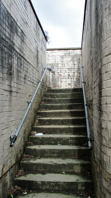
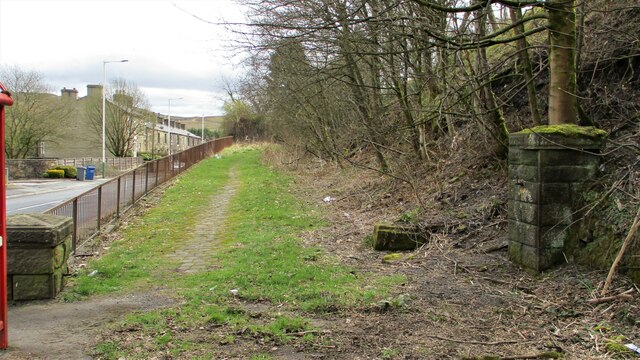
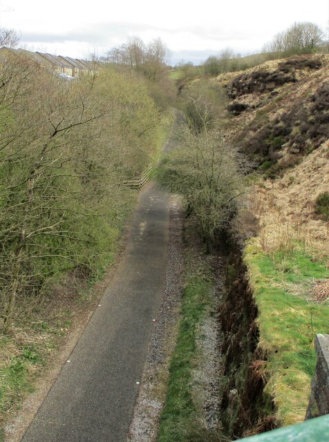
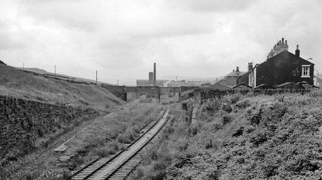
Shawforth railway station
Shawforth railway station served Shawforth near Bacup, Rossendale, Lancashire, England, from 1881 until closure in 1947. == References == Suggitt, Gordon...

Shawforth
Shawforth ( SHAW-fərth) is a ward in the township of Whitworth within the Rossendale borough of Lancashire, England. It lies amongst the South Pennines...

Britannia, Lancashire
Britannia is a suburb of Bacup in the Rossendale borough of Lancashire, England. It lies on the course of two major roads and has a school and a nature...
Britannia railway station
Britannia railway station served Britannia near Bacup, Lancashire, England, from 1881 until closure in 1917. The station was just to the west of the summit...
Facit railway station
Facit railway station served Facit near Whitworth, Rossendale, Lancashire, England, from 1870 until closure to passengers in 1947 and freight in 1963....
Brown Wardle Hill
Brown Wardle is a hill between the village of Wardle, Greater Manchester and the town of Whitworth, Lancashire, England. The summit is on the border of...

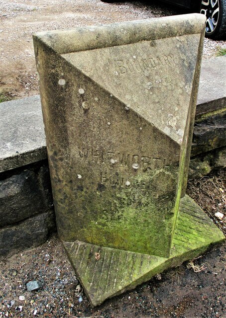
Whitworth, Lancashire
Whitworth is a town and civil parish in Rossendale, Lancashire, England, amongst the foothills of the Pennines between Bacup, to the north, and Rochdale...

Whitworth railway station
Whitworth railway station served the town of Whitworth, Rossendale, Lancashire, England, from 1870 until closure in 1947. == References == Lost Railways...
Nearby Amenities
Located within 500m of 53.680487,-2.162871Have you been to Shawforth?
Leave your review of Shawforth below (or comments, questions and feedback).