Catlow Bottoms
Valley in Lancashire Pendle
England
Catlow Bottoms
The requested URL returned error: 429 Too Many Requests
If you have any feedback on the listing, please let us know in the comments section below.
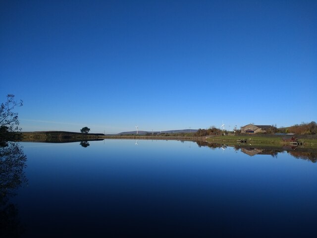
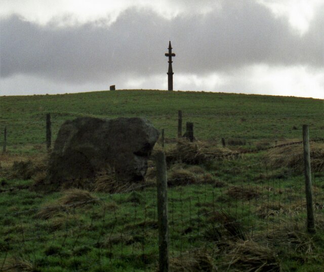
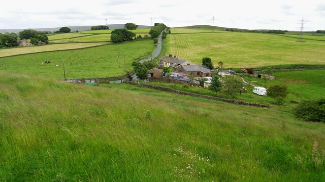
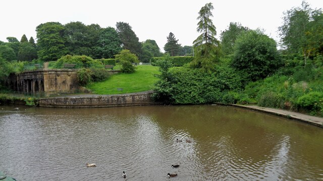
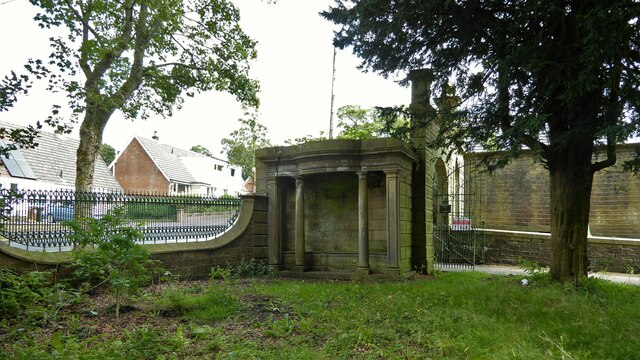
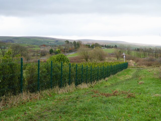
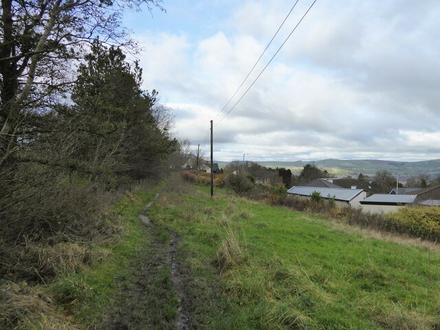
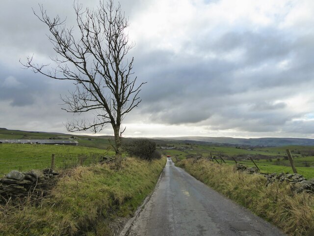
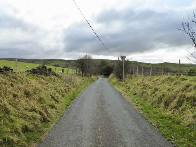
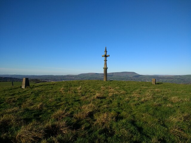
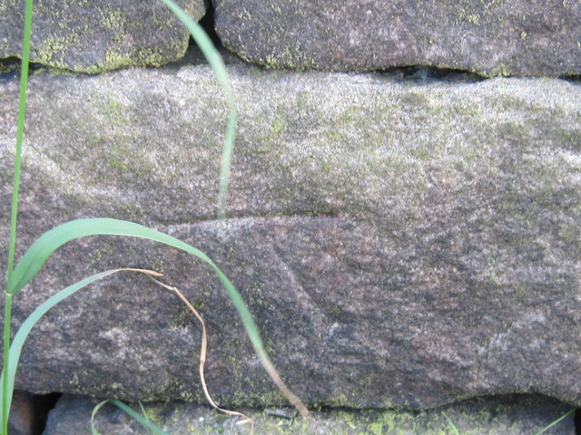
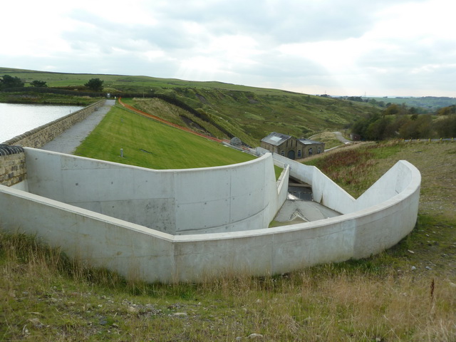
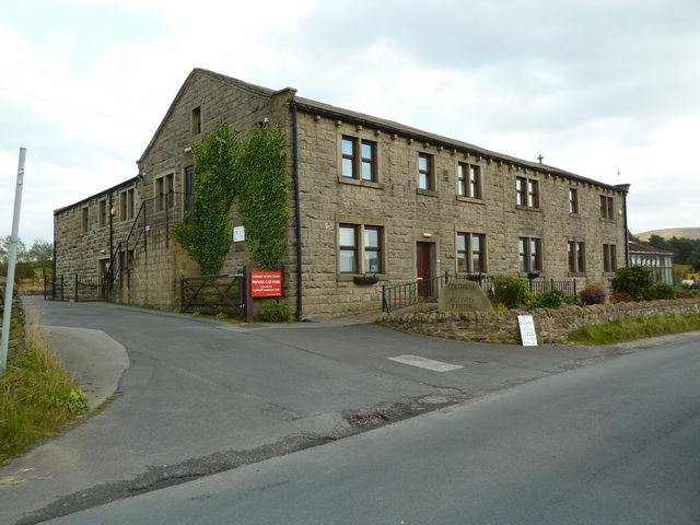
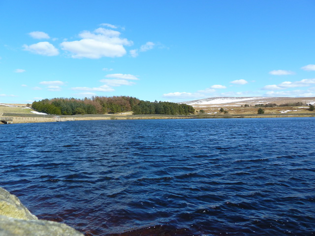
Catlow Bottoms Images
Images are sourced within 2km of 53.822671/-2.1766918 or Grid Reference SD8836. Thanks to Geograph Open Source API. All images are credited.


Catlow Bottoms is located at Grid Ref: SD8836 (Lat: 53.822671, Lng: -2.1766918)
Administrative County: Lancashire
District: Pendle
Police Authority: Lancashire
What 3 Words
///horses.form.shades. Near Nelson, Lancashire
Nearby Locations
Related Wikis

Haggate
Haggate is a small village within the parish of Briercliffe, situated three miles north of Burnley, Lancashire. The village is mostly built around a small...

Briercliffe
Briercliffe (historically Briercliffe-with-Extwistle) is a civil parish in the borough of Burnley, in Lancashire, England. It is situated 3 miles (4.8...

Queen Street Mill
Queen Street Mill is a former weaving mill in Harle Syke, a suburb to the north-east of Burnley, Lancashire, that is a Grade I listed building. It now...

Castercliff
Castercliff is an Iron Age multivallate hillfort situated close to the towns of Nelson and Colne in Lancashire, Northern England. It is located on a hilltop...
Nearby Amenities
Located within 500m of 53.822671,-2.1766918Have you been to Catlow Bottoms?
Leave your review of Catlow Bottoms below (or comments, questions and feedback).