Catlow

Settlement in Lancashire Pendle

England

Catlow

Looking northwest across Lower Coldwell Reservoir from Back Lane
Looking northwest across Lower Coldwell Reservoir from Back Lane Credit: shikari

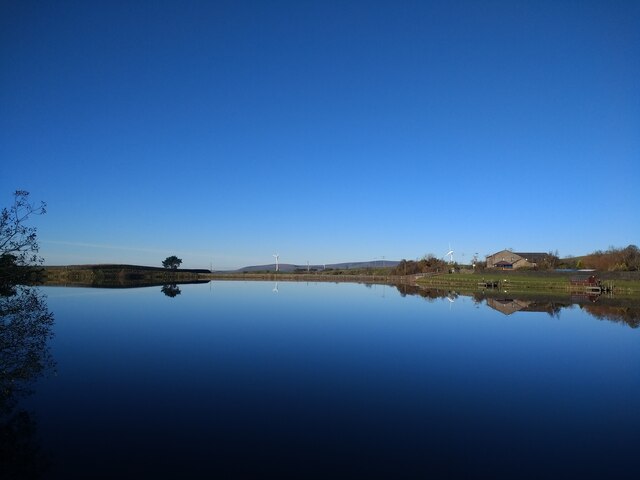
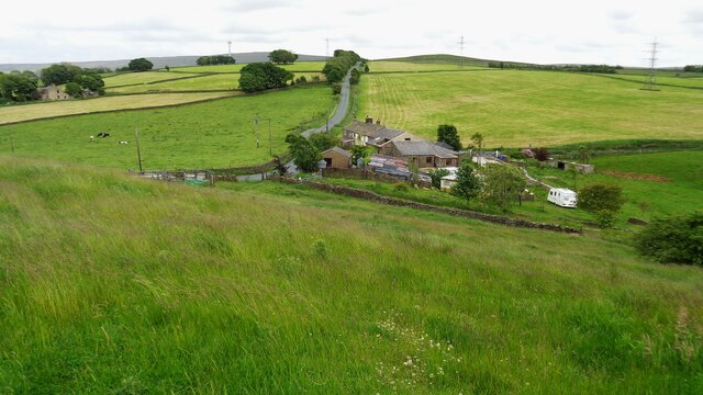
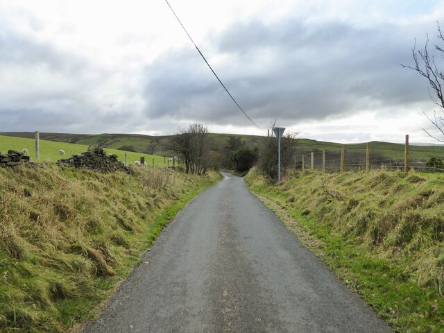
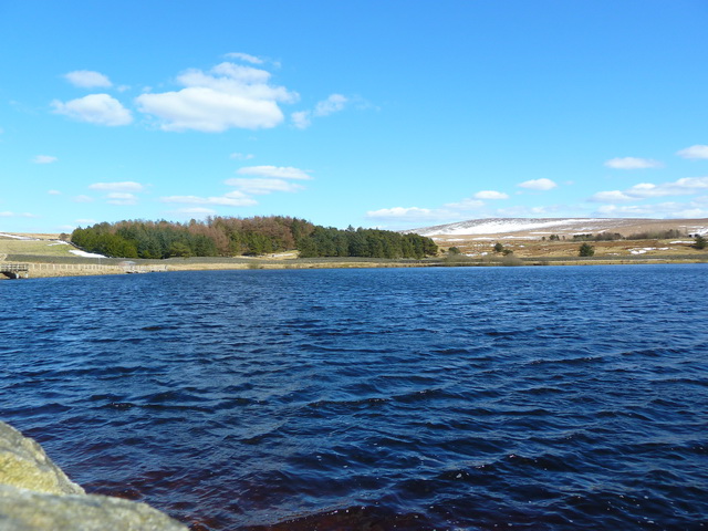
Catlow is a small village located in the county of Lancashire, England. Situated in the borough of Pendle, it lies approximately 3 miles northeast of the town of Colne and 5 miles northwest of the city of Burnley. The village is nestled amidst the picturesque countryside, surrounded by rolling hills and green fields.

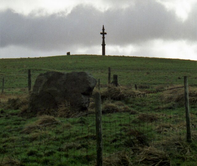
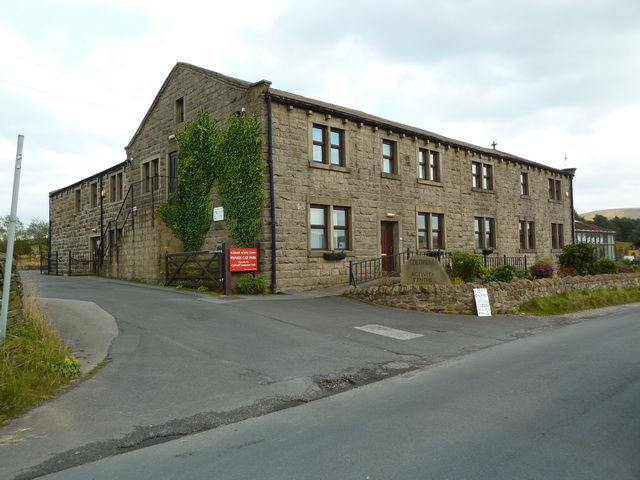
Catlow is known for its rural charm and peaceful atmosphere, making it an ideal destination for those seeking a tranquil retreat. The village is characterized by its quaint stone cottages and traditional architecture, which adds to its overall charm and appeal. The rural setting provides ample opportunities for outdoor activities, such as hiking, cycling, and nature walks.

Despite its small size, Catlow has a close-knit community that takes pride in preserving its local heritage and traditions. The village is home to a small but thriving primary school, which serves the educational needs of the local children. Additionally, residents have access to a few amenities, including a local pub and a community center where various events and activities are held.

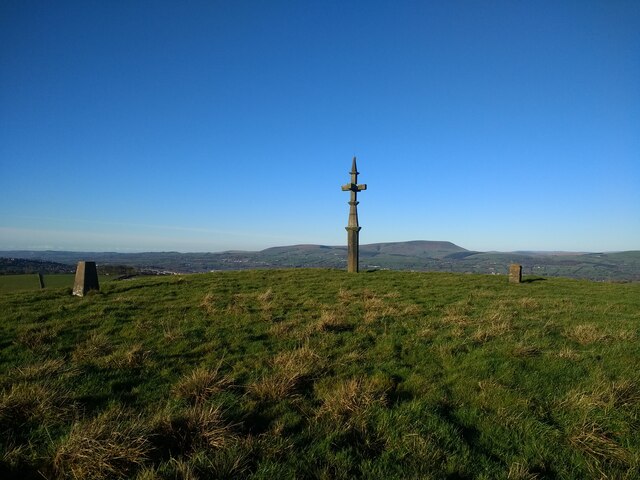
The surrounding area offers a range of attractions and amenities for residents and visitors alike. Nearby Pendle Hill, a prominent landmark, provides stunning panoramic views and is a popular spot for walkers and hikers. The vibrant town of Colne is easily accessible, offering a wider range of shops, restaurants, and entertainment options.

In summary, Catlow is a charming village in Lancashire that offers a peaceful and idyllic setting amidst the beautiful countryside. With its rich local heritage and close-knit community, it provides a welcoming and serene environment for residents and visitors to enjoy.

If you have any feedback on the listing, please let us know in the comments section below.
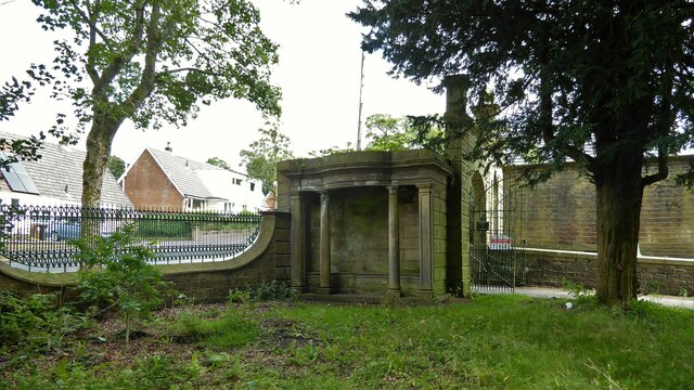
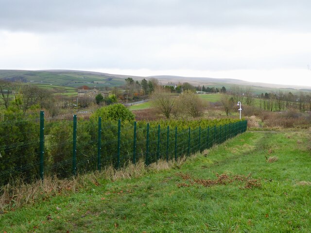
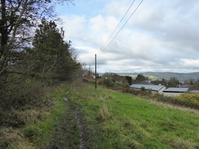
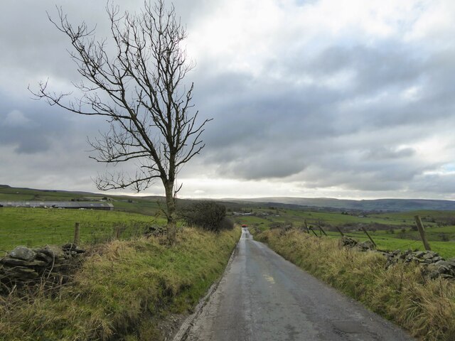
Catlow Images

Images are sourced within 2km of 53.82495/-2.1790409 or Grid Reference SD8836. Thanks to Geograph Open Source API. All images are credited.

Looking northwest across Lower Coldwell Reservoir from Back Lane
Anvil Stone and Walton's Monument in 1999 An ancient stone beneath a monument that uses another stone monolith
Anvil Stone and Walton's Monument in 1999
An ancient stone beneath a monument that uses another stone monolith
Walton's Monument A pagan menhir converted to Christianity in 1835. The Walton family home was nearby Marsden Hall and the story was they did not want pagan symbols on their land
Walton's Monument
A pagan menhir converted to Christianity in 1835. The Walton family home was nearby Marsden Hall and the story was they did not want pagan symbols on their land
Gib Clough Head Farm Viewed from Castercliff Hill Fort
Gib Clough Head Farm
Viewed from Castercliff Hill Fort
Upper Lake at Marsden Park The building on the left is a folly bathhouse or summerhouse with part of the park as its roof
Upper Lake at Marsden Park
The building on the left is a folly bathhouse or summerhouse with part of the park as its roof
Classical summerhouse Built into the north gate entrance to Marsden Old Hall. An unusual position against a gate and road not perhaps the best picturesque siting.
Classical summerhouse
Built into the north gate entrance to Marsden Old Hall. An unusual position against a gate and road not perhaps the best picturesque siting.
Path by the secured grounds of Rockwood The path is heading towards Halifax Road from its start at King's Causeway at Marsden Height.
Path by the secured grounds of Rockwood
The path is heading towards Halifax Road from its start at King's Causeway at Marsden Height.
Path approaching King's Causeway On Marsden Height with Nelson Golf Club course to the left of this view behind the tree and hedge line.
Path approaching King's Causeway
On Marsden Height with Nelson Golf Club course to the left of this view behind the tree and hedge line.
Site of Baptist Chapel In Haggate Burial Ground, the chapel date stone of 1865 stood up marking the site
Site of Baptist Chapel
In Haggate Burial Ground, the chapel date stone of 1865 stood up marking the site
Black House Lane Dropping down to the Happa horse sanctuary from Halifax Road
Black House Lane
Dropping down to the Happa horse sanctuary from Halifax Road
Ridehalgh Lane Dropping down into Thursden Valley from Halifax Road
Ridehalgh Lane
Dropping down into Thursden Valley from Halifax Road
Looking north over Nelson from Marsden Height
Walton's Monument, looking northwest towards Pendle Hill
New spillway at Lower Coldwell Reservoir
Coldwell Activity Centre Now has a cafe from Wednesday to Sunday
Coldwell Activity Centre
Now has a cafe from Wednesday to Sunday
Lower Coldwell Reservoir
Show me another place!

Catlow is located at Grid Ref: SD8836 (Lat: 53.82495, Lng: -2.1790409)

Administrative County: Lancashire

District: Pendle

Police Authority: Lancashire

What 3 Words

///complains.affair.wished. Near Nelson, Lancashire

Nearby Locations

Catlow Bottoms Catlow

Related Wikis

Haggate

Haggate is a small village within the parish of Briercliffe, situated three miles north of Burnley, Lancashire. The village is mostly built around a small...

Briercliffe

Briercliffe (historically Briercliffe-with-Extwistle) is a civil parish in the borough of Burnley, in Lancashire, England. It is situated 3 miles (4.8...

Castercliff

Castercliff is an Iron Age multivallate hillfort situated close to the towns of Nelson and Colne in Lancashire, Northern England. It is located on a hilltop...

Queen Street Mill

Queen Street Mill is a former weaving mill in Harle Syke, a suburb to the north-east of Burnley, Lancashire, that is a Grade I listed building. It now...

Nearby Amenities

Located within 500m of 53.82495,-2.1790409
Catlow
Note: in Burnley or Pendle?
Place: hamlet
Source: npe
Lat/Long: 53.8242481/-2.179899
Southfield
Note: in Burnley or Pendle?
Place: hamlet
Source: npe
Lat/Long: 53.8289671/-2.1815949
Ford: yes
Lat/Long: 53.8228524/-2.1760266
Ford: yes
Lat/Long: 53.8224203/-2.1770701
Place: farm
Lat/Long: 53.8209381/-2.1805805
Generator Method: wind_turbine
Generator Source: wind
Power: generator
Lat/Long: 53.8280254/-2.1739915
The data included in this document is from www.openstreetmap.org. The data is made available under ODbL.

Have you been to Catlow?

Leave your review of Catlow below (or comments, questions and feedback).