Catherton

Settlement in Shropshire

England

Catherton

Farlow & Oreton Village Hall, near Farlow The hall serves the villages of Farlow and Oreton and is a little way from both. It seems to date from the early 1950's.
Farlow & Oreton Village Hall, near Farlow Credit: P L Chadwick

Catherton is a small village located in the county of Shropshire, England. Situated in the West Midlands region, it lies approximately 13 miles southwest of the county town of Shrewsbury. The village is part of the civil parish of Catherton, Chelmarsh, and Glazeley.

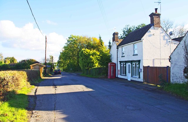
The settlement is nestled in a picturesque rural landscape, characterized by rolling hills, lush green fields, and charming countryside views. Its tranquil surroundings make Catherton an ideal destination for those seeking a peaceful retreat or a break from the bustling city life.

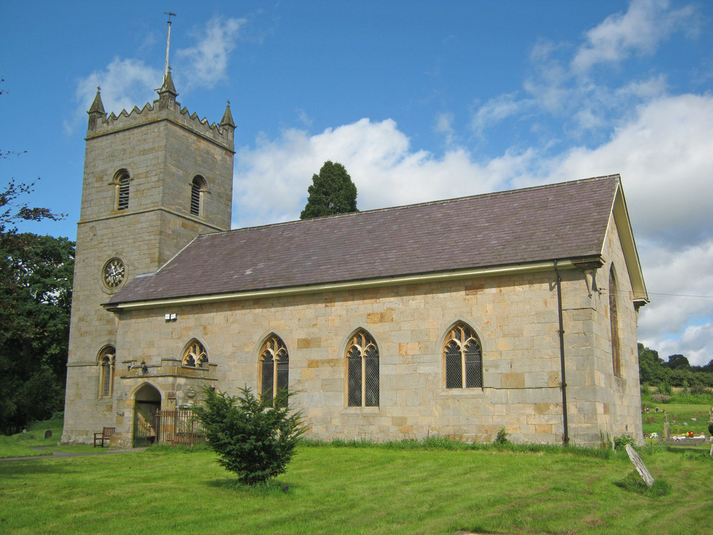
Despite its small size, Catherton boasts a rich history which can be traced back to the medieval period. The village features several historic buildings, including St. Mary's Church, a Grade II listed structure that dates back to the 12th century. The church's architecture showcases a blend of different styles, ranging from Norman to Gothic, providing visitors with a glimpse into the past.

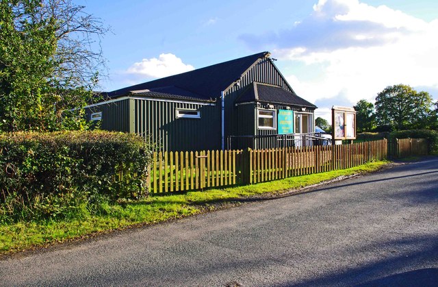
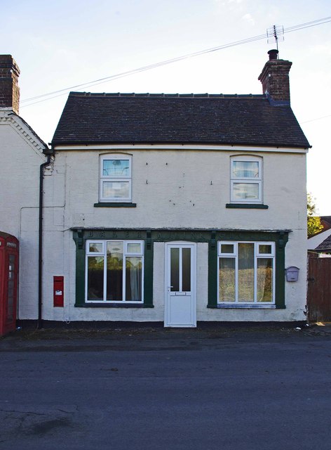
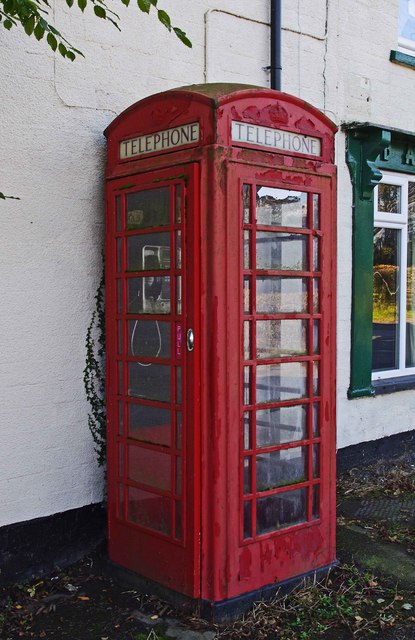
The village itself offers limited amenities, with a small number of residential properties, a local pub, and a village hall serving as the community hub. However, Catherton's proximity to larger towns and cities ensures easy access to a wider range of services and facilities.

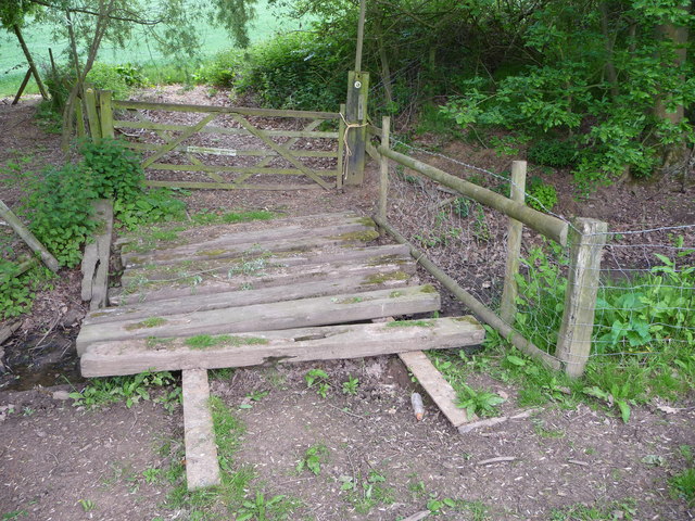
For outdoor enthusiasts, Catherton provides ample opportunities for exploring the surrounding countryside. The village is located near the impressive Shropshire Hills Area of Outstanding Natural Beauty, which offers breathtaking landscapes, walking trails, and wildlife spotting opportunities.

In summary, Catherton is a charming and historic village that provides a peaceful retreat within the beautiful Shropshire countryside. With its rich heritage and idyllic surroundings, it appeals to those seeking a slower pace of life and a connection to nature.

If you have any feedback on the listing, please let us know in the comments section below.
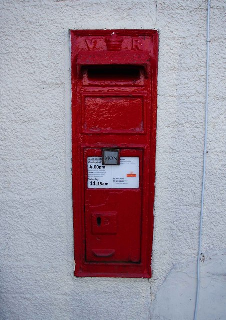
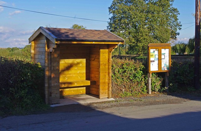
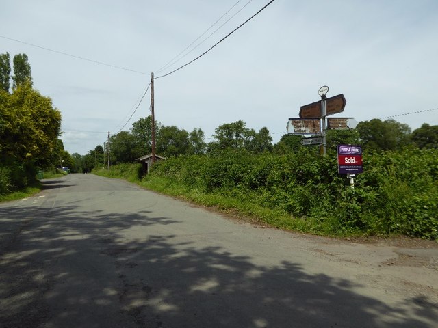
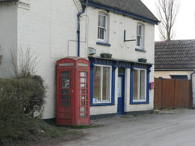
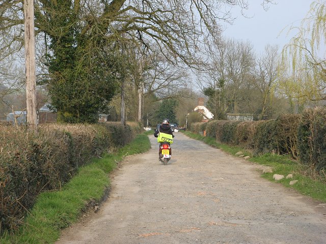
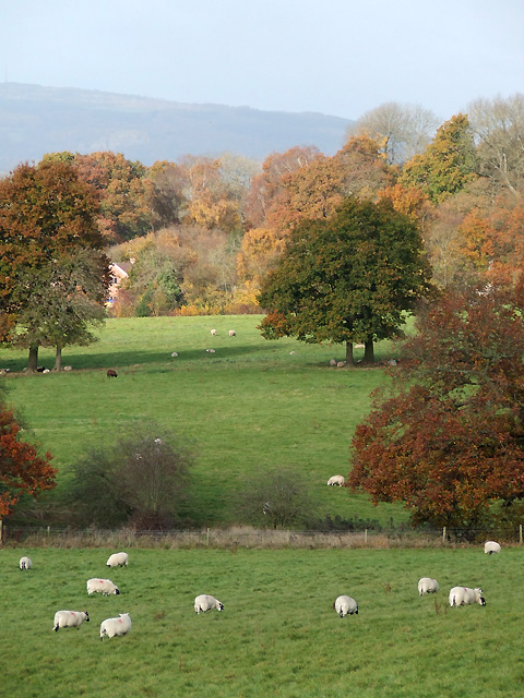
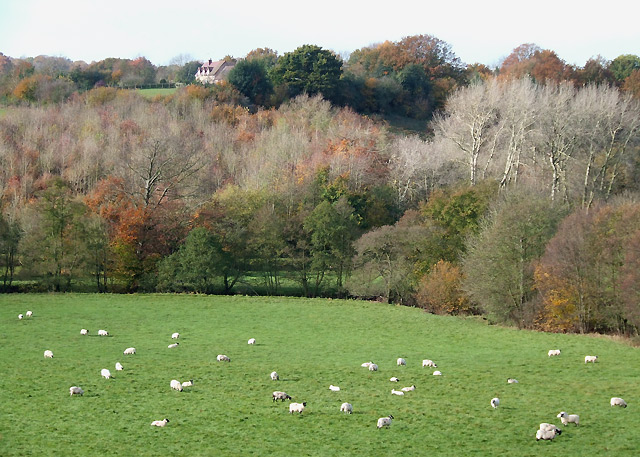
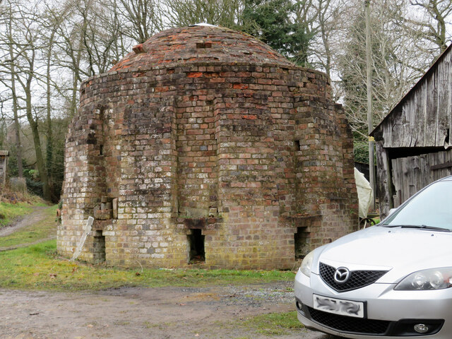
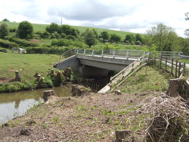
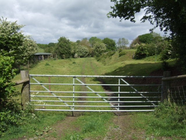
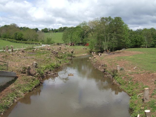
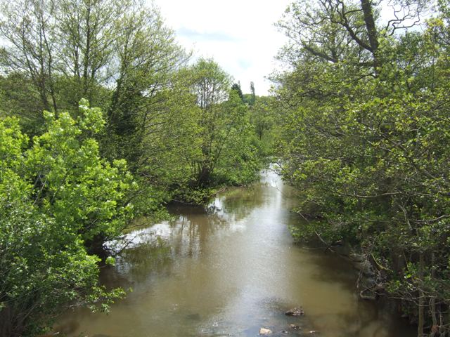
Catherton Images

Images are sourced within 2km of 52.40259/-2.5100332 or Grid Reference SO6578. Thanks to Geograph Open Source API. All images are credited.

Farlow & Oreton Village Hall, near Farlow The hall serves the villages of Farlow and Oreton and is a little way from both. It seems to date from the early 1950's.
Farlow & Oreton Village Hall, near Farlow
The hall serves the villages of Farlow and Oreton and is a little way from both. It seems to date from the early 1950's.
Former shop (1), Oreton Road, Oreton Oreton is a small hamlet a few miles from Cleobury Mortimer. Today no shops survive and even the public house is currently, possibly permanently, closed. In the past this building, now a private house, was a baker and grocer's shop. Covered in the dark green paint above the ground floor windows and door is a sign. This says, "Baker A.J. Link Grocer". In recent years new double glazed windows and a front door have been put in. An April 2007 photograph by Richard Webb,<a href="https://www.geograph.org.uk/photo/405981">SO6580 : Former shop, Oreton</a>, shows the previous frontage which possibly is the original shop frontage.

It appears that at one time the local post office was based here, but that had certainly closed at some point prior to October 2007. See:- <a href="https://www.geograph.org.uk/photo/3181992">SO6580 : Victorian wall-mounted postbox, Oreton Road, Oreton</a>.

<a href="https://www.geograph.org.uk/photo/3181801">SO6580 : Former shop (2), Oreton Road, Oreton</a>.
Former shop (1), Oreton Road, Oreton
Oreton is a small hamlet a few miles from Cleobury Mortimer. Today no shops survive and even the public house is currently, possibly permanently, closed. In the past this building, now a private house, was a baker and grocer's shop. Covered in the dark green paint above the ground floor windows and door is a sign. This says, "Baker A.J. Link Grocer". In recent years new double glazed windows and a front door have been put in. An April 2007 photograph by Richard Webb,SO6580 : Former shop, Oreton, shows the previous frontage which possibly is the original shop frontage. It appears that at one time the local post office was based here, but that had certainly closed at some point prior to October 2007. See:- SO6580 : Victorian wall-mounted postbox, Oreton Road, Oreton. SO6580 : Former shop (2), Oreton Road, Oreton.
Former shop (2), Oreton Road, Oreton The building, now a private house, is of some historical interest as it used to be a baker and grocer's shop. Before the rise of the supermarkets, even small hamlets like Oreton usually had one or more local shops. It is no surprise that outside both a telephone kiosk and a wall-mounted postbox (not visible in this view) were located. The postbox dates from Victorian times, which would indicate the building has been standing here for well over a century, at least.

<a href="https://www.geograph.org.uk/photo/3181787">SO6580 : Former shop (1), Oreton Road, Oreton</a>.
Former shop (2), Oreton Road, Oreton
The building, now a private house, is of some historical interest as it used to be a baker and grocer's shop. Before the rise of the supermarkets, even small hamlets like Oreton usually had one or more local shops. It is no surprise that outside both a telephone kiosk and a wall-mounted postbox (not visible in this view) were located. The postbox dates from Victorian times, which would indicate the building has been standing here for well over a century, at least. SO6580 : Former shop (1), Oreton Road, Oreton.
Oreton Road, Oreton Just past the former shop (on the right) is a cross roads. At that point Oreton Road becomes Withies Bank. The turn on the left is Moors Lane, and that on the right is New Road.
Oreton Road, Oreton
Just past the former shop (on the right) is a cross roads. At that point Oreton Road becomes Withies Bank. The turn on the left is Moors Lane, and that on the right is New Road.
Telephone kiosk, Oreton Road, Oreton Oreton has managed to retain a working traditional red telephone kiosk, located outside a former baker and grocer's shop. See also:- <a href="https://www.geograph.org.uk/photo/3181817">SO6580 : Oreton Road, Oreton</a>.
Telephone kiosk, Oreton Road, Oreton
Oreton has managed to retain a working traditional red telephone kiosk, located outside a former baker and grocer's shop. See also:- SO6580 : Oreton Road, Oreton.
Victorian wall-mounted postbox, Oreton Road, Oreton The initials V R at the top of the box indicate this is a postbox dating from Queen Victoria's reign. As she died early in 1901, this box has, at the time of writing, been in use for around 112 years, probably longer. Inset into the front wall of a house, which at one time was a baker & grocer's shop. See:- <a href="https://www.geograph.org.uk/photo/3181979">SO6580 : Telephone kiosk, Oreton Road, Oreton</a>.

Interestingly the official list of postboxes gives the address of this box as "Oreton Post Office", so presumably the former shop was at one time the post office. Unfortunately Oreton's post office was closed at some point prior to October 2007.

Postbox number:- DY14 132. Post code:- DY14 OTH. Last collection:- 4 p.m. Monday to Friday; 11.15 a.m. Saturday.
Victorian wall-mounted postbox, Oreton Road, Oreton
The initials V R at the top of the box indicate this is a postbox dating from Queen Victoria's reign. As she died early in 1901, this box has, at the time of writing, been in use for around 112 years, probably longer. Inset into the front wall of a house, which at one time was a baker & grocer's shop. See:- SO6580 : Telephone kiosk, Oreton Road, Oreton. Interestingly the official list of postboxes gives the address of this box as "Oreton Post Office", so presumably the former shop was at one time the post office. Unfortunately Oreton's post office was closed at some point prior to October 2007. Postbox number:- DY14 132. Post code:- DY14 OTH. Last collection:- 4 p.m. Monday to Friday; 11.15 a.m. Saturday.
Bus shelter and parish notice board, Oreton Road, Oreton The notice board belongs to Farlow & Oreton Parish Council.

<a href="https://www.geograph.org.uk/photo/3181817">SO6580 : Oreton Road, Oreton</a>.
Bus shelter and parish notice board, Oreton Road, Oreton
The notice board belongs to Farlow & Oreton Parish Council. SO6580 : Oreton Road, Oreton.
Crossroads near Oreton The old faded sign indicates this is a crossroads however the road to the right is an unadopted no through road.
Crossroads near Oreton
The old faded sign indicates this is a crossroads however the road to the right is an unadopted no through road.
Former shop, Oreton An old shop front on what is now simply a house.
Former shop, Oreton
An old shop front on what is now simply a house.
Paper round, Oreton Shropshire Star being delivered down an unadopted road.
Paper round, Oreton
Shropshire Star being delivered down an unadopted road.
Grazing and Woodland, near Prescott, Shropshire
Sheep Grazing by the River Rea, Shropshire
Beehive brick kiln, Oreton Road, Oreton A rare survivor at Little Stocking - a kiln for making bricks. There is a flooded clay pit round the back and an adjoining smithy and saw bench set up. This is the view from the road but we were allowed in to have a look and were grateful for this rare opportunity. The structure is not listed but the house opposite is built of bricks fired in this kiln.
Beehive brick kiln, Oreton Road, Oreton
A rare survivor at Little Stocking - a kiln for making bricks. There is a flooded clay pit round the back and an adjoining smithy and saw bench set up. This is the view from the road but we were allowed in to have a look and were grateful for this rare opportunity. The structure is not listed but the house opposite is built of bricks fired in this kiln.
Concrete Bridge over the River Rea Modern replacement possibly for a bridge damaged by flash flooding.
Concrete Bridge over the River Rea
Modern replacement possibly for a bridge damaged by flash flooding.
Former Admiralty railway to Cleobury Mortimer The railway served the weapons depot at Ditton Priors.
Former Admiralty railway to Cleobury Mortimer
The railway served the weapons depot at Ditton Priors.
River Rea upstream near Detton Hall The bridge was replaced following severe flooding in June 2007. Trees upstream of the bridge have been cut down to stumps. Compare with Spring 2007 <a href="https://www.geograph.org.uk/photo/437177">SO6679 : Make like a heron</a>.
River Rea upstream near Detton Hall
The bridge was replaced following severe flooding in June 2007. Trees upstream of the bridge have been cut down to stumps. Compare with Spring 2007 SO6679 : Make like a heron.
River Rea downstream near Detton Hall Not much changed from Spring 2007 <a href="https://www.geograph.org.uk/photo/405991">SO6679 : River Rea</a>.
River Rea downstream near Detton Hall
Not much changed from Spring 2007 SO6679 : River Rea.
Sleeper footbridge This is a footbridge - cattle grid cross I think. It is laid on old rails and made of old wooden railway sleepers, possibly sourced from a dismantled railway.
Sleeper footbridge
This is a footbridge - cattle grid cross I think. It is laid on old rails and made of old wooden railway sleepers, possibly sourced from a dismantled railway.
Show me another place!

Catherton is located at Grid Ref: SO6578 (Lat: 52.40259, Lng: -2.5100332)

Unitary Authority: Shropshire

Police Authority: West Merica

What 3 Words

///reeling.shuffles.caskets. Near Cleobury Mortimer, Shropshire

Nearby Locations

Catherton

Related Wikis

Oreton, Shropshire

Oreton is a small village in the English county of Shropshire, in the civil parish of Farlow. Oreton is on a hill overlooking the River Rea and is some...

Neen Savage

Neen Savage is a civil parish and a hamlet in south east Shropshire, England. It is situated north of the small market town of Cleobury Mortimer. The River...

Farlow, Shropshire

Farlow is a small village and civil parish in Shropshire, England. The population at the 2011 census was 445.The chapelry of Farlow was an exclave of Herefordshire...

Hopton Wafers

Hopton Wafers is a small village and civil parish in south Shropshire, England. The population of the public parish at the 2011 census was 753. It is located...

Nearby Amenities

Located within 500m of 52.40259,-2.5100332
The data included in this document is from www.openstreetmap.org. The data is made available under ODbL.

Have you been to Catherton?

Leave your review of Catherton below (or comments, questions and feedback).