The Den

Valley in Aberdeenshire

Scotland

The Den

Caves at Aberdour beach From the top of the cliff looking down towards the beach and caves
Caves at Aberdour beach Credit: Ralph Greig

The requested URL returned error: 429 Too Many Requests

If you have any feedback on the listing, please let us know in the comments section below.
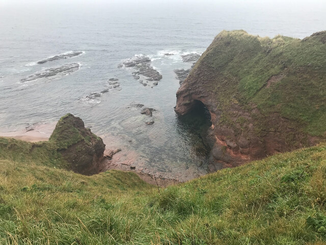
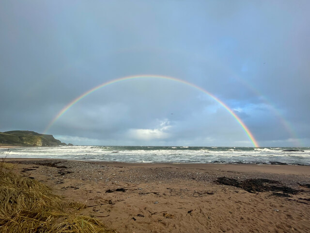
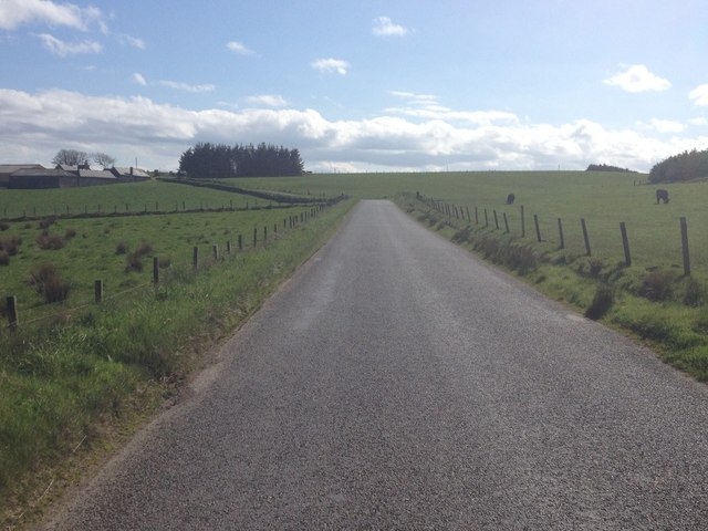
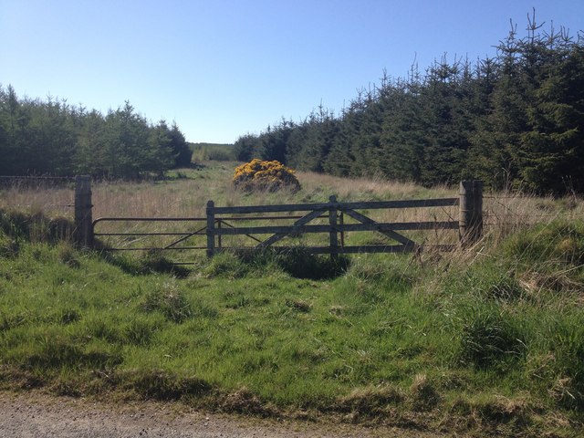
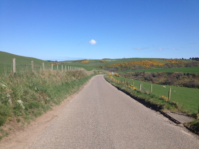
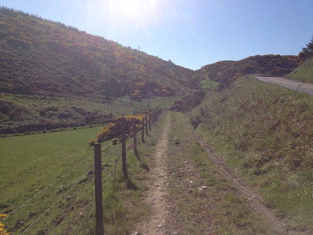
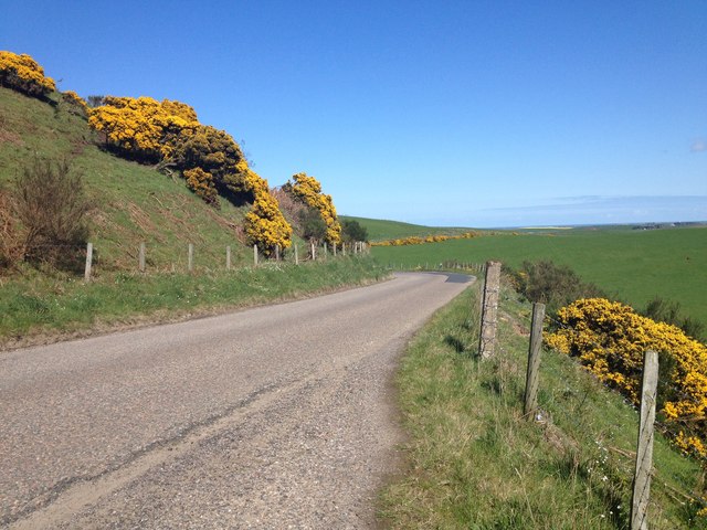
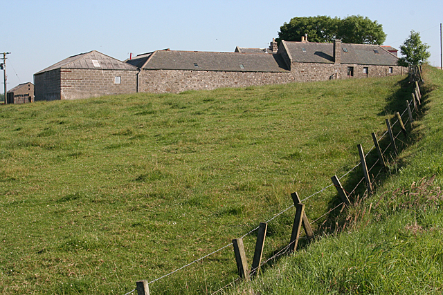
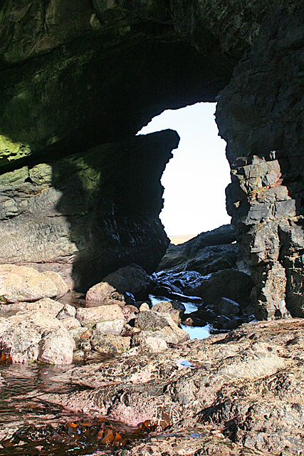
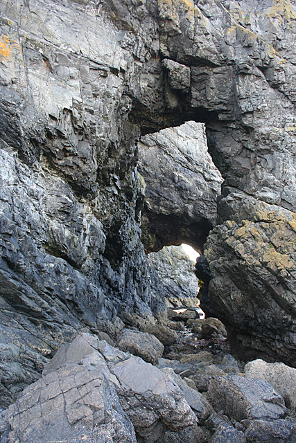
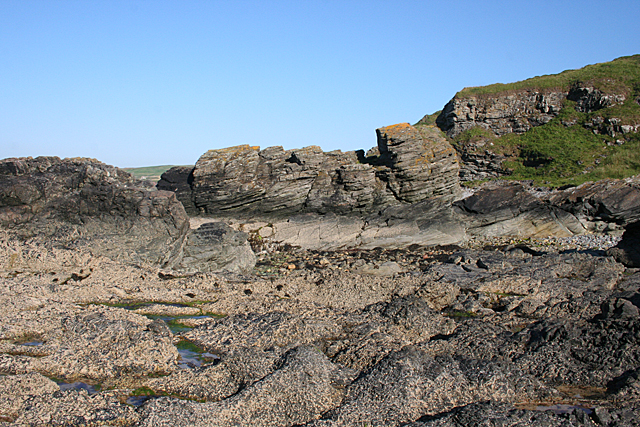
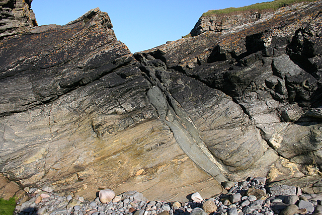
The Den Images

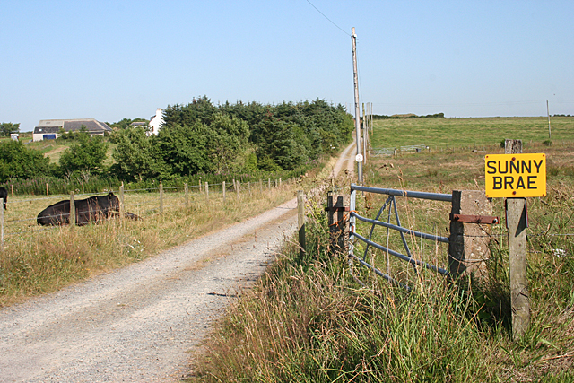
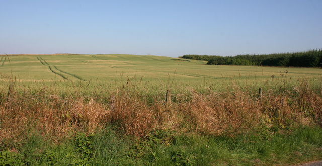
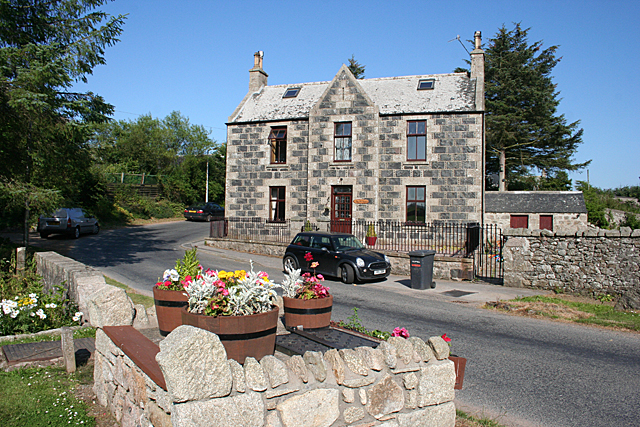
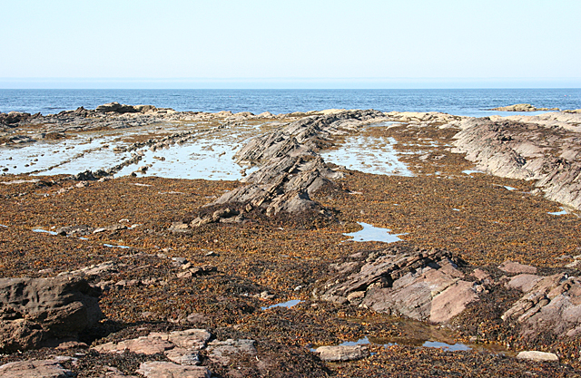
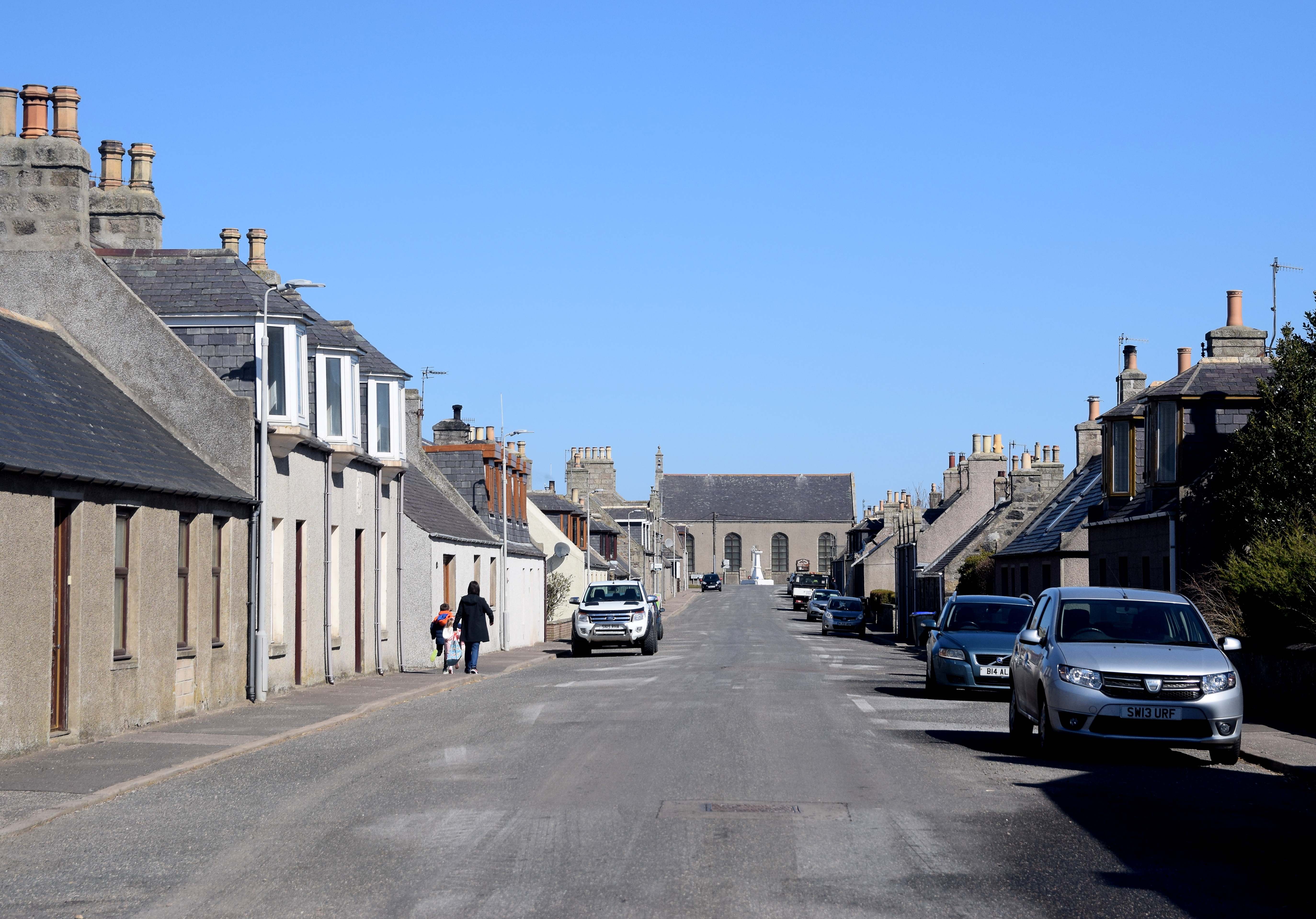
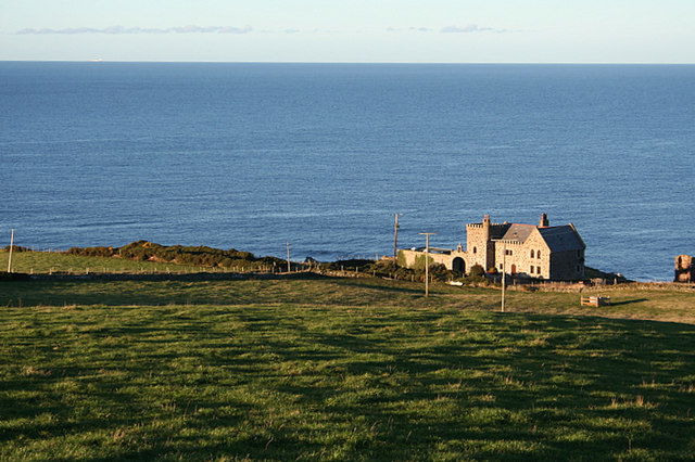
Images are sourced within 2km of 57.658357/-2.2024904 or Grid Reference NJ8863. Thanks to Geograph Open Source API. All images are credited.

Caves at Aberdour beach From the top of the cliff looking down towards the beach and caves
Caves at Aberdour beach
From the top of the cliff looking down towards the beach and caves
Beach Rainbow
Beach Rainbow
Minor road near North Cowfords
Minor road near New Aberdour
Forestry near New Aberdour
B9031 near Towie
B9031 near Towie
Farm track near Towie
B9031 near Towie
B9031 near Towie
North Cowfords Stone farm buildings, and a breezeblock one, by the road at North Cowfords.
North Cowfords
Stone farm buildings, and a breezeblock one, by the road at North Cowfords.
South Killyquharn Sunny Brae and South Killyquharn share an access road for a couple of hundred metres.
South Killyquharn
Sunny Brae and South Killyquharn share an access road for a couple of hundred metres.
Field of Barley One of many such in this part of the world. Interestingly, the crop doesn't seem to be nearly as ripe here as they are further inland.
Field of Barley
One of many such in this part of the world. Interestingly, the crop doesn't seem to be nearly as ripe here as they are further inland.
Old Manse The type of stonework, with the small pieces between the larger stones, has a special name, which escapes me at the moment. However it's not all that common in this area.

<a href="https://www.geograph.org.uk/photo/6814017">NJ8862 : Rear view of the former Free Church manse, New Aberdour</a> is the rear view of the house.
Old Manse
The type of stonework, with the small pieces between the larger stones, has a special name, which escapes me at the moment. However it's not all that common in this area. NJ8862 : Rear view of the former Free Church manse, New Aberdour is the rear view of the house.
Black Dog The rocks on the shore here are sandstones, and they are dipping at about 30º to the west.
Black Dog
The rocks on the shore here are sandstones, and they are dipping at about 30º to the west.
Natural Arch at Pitjossie This is one of two natural arches, quite close together. It was not easy to get through both of them, and I could not have got any further without getting very wet. I don't mind that for me, but I don't like getting the camera wet! For the reciprocal view see <a href="https://www.geograph.org.uk/photo/4095801">NJ8765 : Natural Arch</a>.
Natural Arch at Pitjossie
This is one of two natural arches, quite close together. It was not easy to get through both of them, and I could not have got any further without getting very wet. I don't mind that for me, but I don't like getting the camera wet! For the reciprocal view see NJ8765 : Natural Arch.
Natural Arch This is the reciprocal view of <a href="https://www.geograph.org.uk/photo/4095796">NJ8765 : Natural Arch at Pitjossie</a>.
Natural Arch
This is the reciprocal view of NJ8765 : Natural Arch at Pitjossie.
Natural Arches Looking through both natural arches from Ceard's Cove to Pitjossie.
Natural Arches
Looking through both natural arches from Ceard's Cove to Pitjossie.
Ceard's Cove The rocks here are metamorphic, and they are overlain by sandstone just a few tens of metres beyond here.
Ceard's Cove
The rocks here are metamorphic, and they are overlain by sandstone just a few tens of metres beyond here.
Metamorphic Rocks This is one of the easternmost of the metamorphic rock outcrops on this coast.
Metamorphic Rocks
This is one of the easternmost of the metamorphic rock outcrops on this coast.
Show me another place!

The Den is located at Grid Ref: NJ8863 (Lat: 57.658357, Lng: -2.2024904)

Unitary Authority: Aberdeenshire

Police Authority: North East

What 3 Words

///spreads.input.uttering. Near Rosehearty, Aberdeenshire

Related Wikis

New Aberdour

New Aberdour is a small planned village in the Aberdour parish of Aberdeenshire, Scotland, situated south of Aberdour Bay on the Moray Firth. It lies 7...

Rescue from SS William Hope

In the 1884 rescue from SS William Hope in Aberdour Bay off the north coast of Aberdeenshire in Scotland Jane Whyte rescued fifteen sailors from their...

Dundarg Castle

Dundarg Castle is a ruined castle about 2 kilometres (1.2 mi) north-northeast of New Aberdour, Aberdeenshire, Scotland, built within the ramparts of an...

Aberdour House (Aberdeenshire)

Aberdour House is Category A listed country house in New Aberdour, Aberdeenshire, Scotland. Dating to around 1740, it was built by John Forbes, of Knappernay...

Nearby Amenities

Located within 500m of 57.658357,-2.2024904
New Aberdour
Name Gd: Obar Dobhair
Name Sco: New Aiberdour
Place: village
Population: 329
Wikidata: Q7005177
Wikipedia: en:New Aberdour
Lat/Long: 57.6587926/-2.195062
Power: pole
Lat/Long: 57.6611264/-2.1965361
Power: pole
Lat/Long: 57.6568003/-2.1992639
Power: pole
Lat/Long: 57.6564502/-2.2000766
Power: pole
Lat/Long: 57.6559307/-2.1997949
Power: pole
Lat/Long: 57.6553373/-2.1995039
Power: pole
Lat/Long: 57.6547253/-2.1992236
Power: pole
Lat/Long: 57.6601795/-2.1957354
Power: pole
Lat/Long: 57.6606795/-2.196178
Power: pole
Lat/Long: 57.6617165/-2.1970457
Power: pole
Lat/Long: 57.6569653/-2.2097647
Power: pole
Lat/Long: 57.6565119/-2.2075573
Power: pole
Lat/Long: 57.656001/-2.2065166
Power: pole
Lat/Long: 57.6555203/-2.2054571
Power: pole
Lat/Long: 57.6553667/-2.2043574
Power: pole
Lat/Long: 57.6552075/-2.2030941
Power: pole
Lat/Long: 57.6550539/-2.2019354
Power: pole
Lat/Long: 57.654909/-2.2007257
Power: pole
Lat/Long: 57.6543687/-2.2016591
Power: pole
Lat/Long: 57.6542115/-2.2007981
Removed Amenity: telephone
Lat/Long: 57.6594905/-2.1949873
Power: pole
Lat/Long: 57.6546713/-2.1985041
Power: pole
Lat/Long: 57.6539219/-2.2018274
Power: pole
Lat/Long: 57.6559315/-2.2081563
Power: pole
Lat/Long: 57.6556045/-2.2084781
Bus Stop
Low Street
Bus: yes
Naptan AtcoCode: 630022331
Naptan Bearing: S
Naptan CommonName: Low Street
Naptan Indicator: before
Naptan NaptanCode: 23626285
Naptan Street: High Street
Naptan Verified: no
Public Transport: platform
Source: naptan;bing;naptan_compare_tool
Lat/Long: 57.6560001/-2.1959969
Bus Stop
Low Street
Bus: yes
Naptan AtcoCode: 630022332
Naptan Bearing: N
Naptan CommonName: Low Street
Naptan Indicator: after
Naptan NaptanCode: 23626284
Naptan Street: High Street
Naptan Verified: no
Public Transport: platform
Source: naptan;bing;naptan_compare_tool
Lat/Long: 57.6558931/-2.1962069
Bus Stop
Dower Hotel
Bus: yes
Naptan AtcoCode: 630022342
Naptan Bearing: N
Naptan CommonName: Dower Hotel
Naptan Indicator: opp
Naptan NaptanCode: 23626289
Naptan Street: High Street
Naptan Verified: no
Public Transport: platform
Source: naptan;bing;naptan_compare_tool
Lat/Long: 57.6576405/-2.1955882
Bus Stop
Dower Hotel
Bus: yes
Naptan AtcoCode: 630022341
Naptan Bearing: S
Naptan CommonName: Dower Hotel
Naptan Indicator: at
Naptan NaptanCode: 23626292
Naptan Street: High Street
Naptan Verified: no
Public Transport: platform
Source: naptan;bing;naptan_compare_tool
Lat/Long: 57.6577411/-2.1953978
Bench
Backrest: yes
Lat/Long: 57.6600568/-2.1954625
The data included in this document is from www.openstreetmap.org. The data is made available under ODbL.

Have you been to The Den?

Leave your review of The Den below (or comments, questions and feedback).