Lee Cleugh

Valley in Northumberland

England

Lee Cleugh

JCB Mini Digger above the Wholehope Burn This digger, which was lying idle when I passed by, had been used for digging drainage ditches alongside the track referred to at <a title="https://www.geograph.org.uk/photo/7126230" href="https://www.geograph.org.uk/photo/7126230">Link</a>. The hill in the middle distance is Inner Hill on Shillhope Law. For a selection of detailed free to download walking routes in the area visit <span class="nowrap"><a title="www.cheviotwalks.co.uk" rel="nofollow ugc noopener" href="http://www.cheviotwalks.co.uk">Link</a><img style="margin-left:2px;" alt="External link" title="External link - shift click to open in new window" src="https://s1.geograph.org.uk/img/external.png" width="10" height="10"/></span>
JCB Mini Digger above the Wholehope Burn Credit: Geoff Holland

Lee Cleugh is a small village located in the county of Northumberland, England. Situated in the picturesque Tyne Valley, Lee Cleugh is surrounded by rolling hills, lush green fields, and meandering rivers, providing residents and visitors with a stunning natural backdrop.

The village itself is a close-knit community, known for its friendly and welcoming atmosphere. Its population is relatively small, with just over 200 residents, creating a tight bond among neighbors. Lee Cleugh maintains a traditional charm, with a scattering of stone-built cottages and farmhouses dotted throughout the area.

The stunning Northumberland National Park lies just a short distance from Lee Cleugh, offering a wealth of outdoor activities for nature enthusiasts. Hiking, cycling, and birdwatching are popular pastimes, with the park boasting an array of scenic trails and diverse wildlife.

Despite its rural setting, Lee Cleugh benefits from good transport links, with the nearby A68 road providing easy access to neighboring towns and cities. The village is also served by a regular bus service, ensuring residents can easily connect to larger urban areas.

Lee Cleugh is a tight-knit community with a rich history and an abundance of natural beauty. Its idyllic location in the Tyne Valley and proximity to the Northumberland National Park make it an attractive destination for those seeking a peaceful retreat or an outdoor adventure.

If you have any feedback on the listing, please let us know in the comments section below.
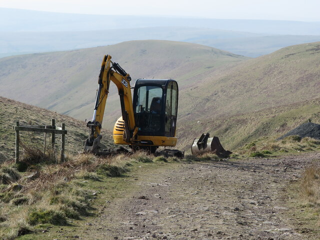
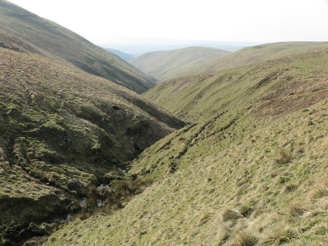
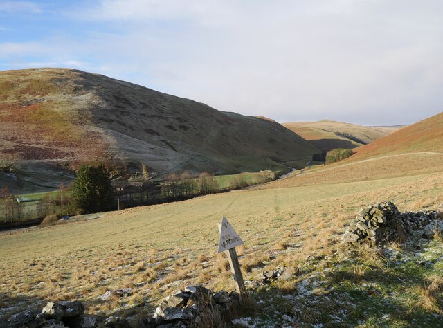
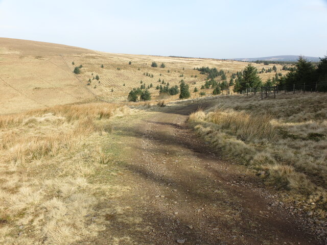
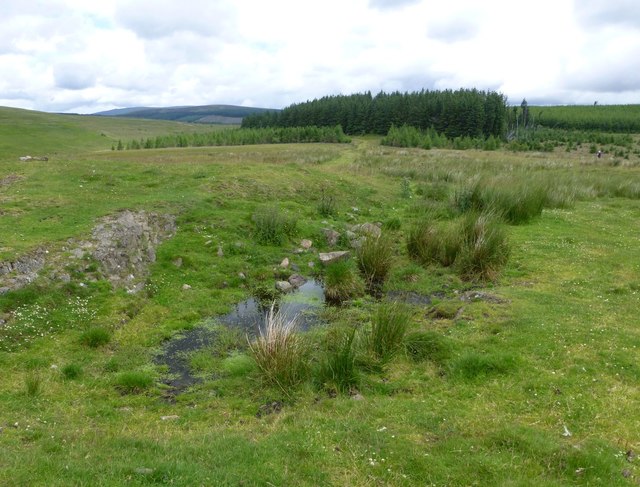
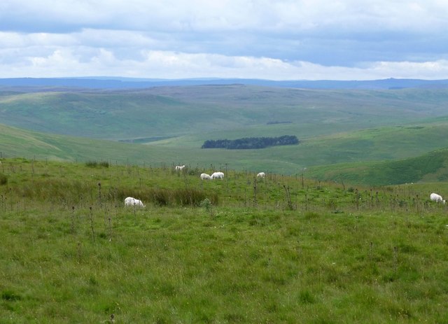
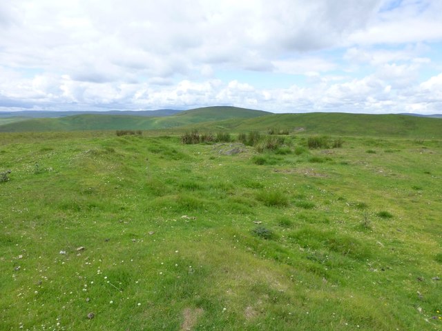
Lee Cleugh Images

Images are sourced within 2km of 55.380604/-2.1907444 or Grid Reference NT8809. Thanks to Geograph Open Source API. All images are credited.

JCB Mini Digger above the Wholehope Burn This digger, which was lying idle when I passed by, had been used for digging drainage ditches alongside the track referred to at <a title="https://www.geograph.org.uk/photo/7126230" href="https://www.geograph.org.uk/photo/7126230">Link</a>. The hill in the middle distance is Inner Hill on Shillhope Law. For a selection of detailed free to download walking routes in the area visit <span class="nowrap"><a title="www.cheviotwalks.co.uk" rel="nofollow ugc noopener" href="http://www.cheviotwalks.co.uk">Link</a><img style="margin-left:2px;" alt="External link" title="External link - shift click to open in new window" src="https://s1.geograph.org.uk/img/external.png" width="10" height="10"/></span>
JCB Mini Digger above the Wholehope Burn
This digger, which was lying idle when I passed by, had been used for digging drainage ditches alongside the track referred to at Link. The hill in the middle distance is Inner Hill on Shillhope Law. For a selection of detailed free to download walking routes in the area visit LinkExternal link
Wholehope Burn This quiet almost linear steep-sided valley stretches from the saddle between Saughy Hill and Wholehope Knowe to the River Coquet between Shillmoor and The Knocks. Hidden in its depths lie the remains of an illicit whisky still as shown at <a title="https://www.geograph.org.uk/photo/2541394" href="https://www.geograph.org.uk/photo/2541394">Link</a>. For a selection of detailed free to download walking routes in the area visit <span class="nowrap"><a title="www.cheviotwalks.co.uk" rel="nofollow ugc noopener" href="http://www.cheviotwalks.co.uk">Link</a><img style="margin-left:2px;" alt="External link" title="External link - shift click to open in new window" src="https://s1.geograph.org.uk/img/external.png" width="10" height="10"/></span>
Wholehope Burn
This quiet almost linear steep-sided valley stretches from the saddle between Saughy Hill and Wholehope Knowe to the River Coquet between Shillmoor and The Knocks. Hidden in its depths lie the remains of an illicit whisky still as shown at Link. For a selection of detailed free to download walking routes in the area visit LinkExternal link
Waterfalls on the Usway Burn Taken from the eastern bank of the Usway Burn, this photo shows the map-marked waterfalls on this lovely watercourse. In the background is the bailey bridge better seen at <a title="https://www.geograph.org.uk/photo/6577029" href="https://www.geograph.org.uk/photo/6577029">Link</a>. For a selection of detailed free to download walking routes in the area visit <span class="nowrap"><a title="www.cheviotwalks.co.uk" rel="nofollow ugc noopener" href="http://www.cheviotwalks.co.uk">Link</a><img style="margin-left:2px;" alt="External link" title="External link - shift click to open in new window" src="https://s1.geograph.org.uk/img/external.png" width="10" height="10"/></span>
Waterfalls on the Usway Burn
Taken from the eastern bank of the Usway Burn, this photo shows the map-marked waterfalls on this lovely watercourse. In the background is the bailey bridge better seen at Link. For a selection of detailed free to download walking routes in the area visit LinkExternal link
Public Bridleway, Barrowburn This track, which is a public bridleway, descends towards the former Barrowburn farmhouse, seen straight ahead, and after crossing a ford joins the old road through the valley. In the distance, mainly obscured by trees, is Windyhaugh farmhouse. For a selection of detailed free to download walking routes in the area visit <span class="nowrap"><a title="www.cheviotwalks.co.uk" rel="nofollow ugc noopener" href="http://www.cheviotwalks.co.uk">Link</a><img style="margin-left:2px;" alt="External link" title="External link - shift click to open in new window" src="https://s1.geograph.org.uk/img/external.png" width="10" height="10"/></span>
Public Bridleway, Barrowburn
This track, which is a public bridleway, descends towards the former Barrowburn farmhouse, seen straight ahead, and after crossing a ford joins the old road through the valley. In the distance, mainly obscured by trees, is Windyhaugh farmhouse. For a selection of detailed free to download walking routes in the area visit LinkExternal link
Out of bounds to troops A small warning sign in Upper Coquetdale near Barrowburn.  Tindale Law is the prominent hill to the left of shot.

This photograph was taken during the Coronavirus (COVID-19) pandemic of 2020/21/22.
Out of bounds to troops
A small warning sign in Upper Coquetdale near Barrowburn. Tindale Law is the prominent hill to the left of shot. This photograph was taken during the Coronavirus (COVID-19) pandemic of 2020/21/22.
Track near Wholehope Knowe This track, which was originally constructed by the MoD, runs from Shillmoor in Upper Coquetdale to the edge of the Kidland Forest on Wholehope Knowe. Along the way it winds around the head of the beautiful Wholehope Burn. For a selection of detailed free to download walking routes in the area visit <span class="nowrap"><a title="www.cheviotwalks.co.uk" rel="nofollow ugc noopener" href="http://www.cheviotwalks.co.uk">Link</a><img style="margin-left:2px;" alt="External link" title="External link - shift click to open in new window" src="https://s1.geograph.org.uk/img/external.png" width="10" height="10"/></span>
Track near Wholehope Knowe
This track, which was originally constructed by the MoD, runs from Shillmoor in Upper Coquetdale to the edge of the Kidland Forest on Wholehope Knowe. Along the way it winds around the head of the beautiful Wholehope Burn. For a selection of detailed free to download walking routes in the area visit LinkExternal link
Barrowburn, Upper Coquetdale The remote farm of Barrowburn enjoys one of the most idyllic locations in Northumberland, nestling beneath the slopes of Shillhope Law and Barrow Law and close to the River Coquet. For a selection of detailed free to download walking routes in the area visit <span class="nowrap"><a title="www.cheviotwalks.co.uk" rel="nofollow ugc noopener" href="http://www.cheviotwalks.co.uk">Link</a><img style="margin-left:2px;" alt="External link" title="External link - shift click to open in new window" src="https://s1.geograph.org.uk/img/external.png" width="10" height="10"/></span>
Barrowburn, Upper Coquetdale
The remote farm of Barrowburn enjoys one of the most idyllic locations in Northumberland, nestling beneath the slopes of Shillhope Law and Barrow Law and close to the River Coquet. For a selection of detailed free to download walking routes in the area visit LinkExternal link
A pond on summit of Wholehope Knowe A surprising find on the top of the hill.
A pond on summit of Wholehope Knowe
A surprising find on the top of the hill.
View from Wholehope Knowe Across Upper Coquetdale and into the Otterburn Ranges.
View from Wholehope Knowe
Across Upper Coquetdale and into the Otterburn Ranges.
On Wholehope Knowe A circular enclosure with low 'rampart' encloses a pond but is not marked on the map as anything significant.
On Wholehope Knowe
A circular enclosure with low 'rampart' encloses a pond but is not marked on the map as anything significant.
Unnamed burn running through Spit Hopes This unnamed burn rises around the 400 metre contour close to the well walked track over Copper Snout and joins the Usway Burn close to where this photograph was taken. For a selection of free to download detailed walking routes in the area visit <span class="nowrap"><a title="www.cheviotwalks.co.uk" rel="nofollow ugc noopener" href="http://www.cheviotwalks.co.uk">Link</a><img style="margin-left:2px;" alt="External link" title="External link - shift click to open in new window" src="https://s1.geograph.org.uk/img/external.png" width="10" height="10"/></span>
Unnamed burn running through Spit Hopes
This unnamed burn rises around the 400 metre contour close to the well walked track over Copper Snout and joins the Usway Burn close to where this photograph was taken. For a selection of free to download detailed walking routes in the area visit LinkExternal link
Track descending alongside Spit Hopes This track, which is little walked, makes an exciting alternative descent to the valley of the Usway Burn which can be seen in the distance. For a selection of detailed free to download walking routes in the area visit <span class="nowrap"><a title="www.cheviotwalks.co.uk" rel="nofollow ugc noopener" href="http://www.cheviotwalks.co.uk">Link</a><img style="margin-left:2px;" alt="External link" title="External link - shift click to open in new window" src="https://s1.geograph.org.uk/img/external.png" width="10" height="10"/></span>
Track descending alongside Spit Hopes
This track, which is little walked, makes an exciting alternative descent to the valley of the Usway Burn which can be seen in the distance. For a selection of detailed free to download walking routes in the area visit LinkExternal link
Drystone Wall on climb to Inner Hill This is yet another fine example of the art of drystone walling enclosing land behind Shillmoor Farm. For a selection of free to download detailed walking routes in the area visit <span class="nowrap"><a title="www.cheviotwalks.co.uk" rel="nofollow ugc noopener" href="http://www.cheviotwalks.co.uk">Link</a><img style="margin-left:2px;" alt="External link" title="External link - shift click to open in new window" src="https://s1.geograph.org.uk/img/external.png" width="10" height="10"/></span>
Drystone Wall on climb to Inner Hill
This is yet another fine example of the art of drystone walling enclosing land behind Shillmoor Farm. For a selection of free to download detailed walking routes in the area visit LinkExternal link
Track leading to Shillhope Law summit This quad track leads up the hill from the saddle between Shillhope Law and Inner Hill to the east of the fence line. An alternative track winds up the hill on the opposite side of the fence. For a selection of free to download walking routes in the area visit <span class="nowrap"><a title="www.cheviotwalks.co.uk" rel="nofollow ugc noopener" href="http://www.cheviotwalks.co.uk">Link</a><img style="margin-left:2px;" alt="External link" title="External link - shift click to open in new window" src="https://s1.geograph.org.uk/img/external.png" width="10" height="10"/></span>
Track leading to Shillhope Law summit
This quad track leads up the hill from the saddle between Shillhope Law and Inner Hill to the east of the fence line. An alternative track winds up the hill on the opposite side of the fence. For a selection of free to download walking routes in the area visit LinkExternal link
Path up South West Spur of Shillhope Law This path, in essence a mere sheep trace, starts at the base of Shillhope Cleugh and ultimately reaches the summit of Shillhope Law. The buildings in the distance are Bygate Hall Cottages. For a selection of free to download walking routes in the area visit <span class="nowrap"><a title="www.cheviotwalks.co.uk" rel="nofollow ugc noopener" href="http://www.cheviotwalks.co.uk">Link</a><img style="margin-left:2px;" alt="External link" title="External link - shift click to open in new window" src="https://s1.geograph.org.uk/img/external.png" width="10" height="10"/></span>
Path up South West Spur of Shillhope Law
This path, in essence a mere sheep trace, starts at the base of Shillhope Cleugh and ultimately reaches the summit of Shillhope Law. The buildings in the distance are Bygate Hall Cottages. For a selection of free to download walking routes in the area visit LinkExternal link
Rocky outcrop on the western flanks of Saugh Rigg This outcrop stands next to a thin footpath called the Pass Peth, an age-old path which follows the Usway Burn on its eastern side. This path appears to be little used as visitors to the valley seem to prefer the gravel track, a designated bridleway, on the opposite side of the burn. For a selection of detailed free to download walking routes in the area visit <span class="nowrap"><a title="www.cheviotwalks.co.uk" rel="nofollow ugc noopener" href="http://www.cheviotwalks.co.uk">Link</a><img style="margin-left:2px;" alt="External link" title="External link - shift click to open in new window" src="https://s1.geograph.org.uk/img/external.png" width="10" height="10"/></span>
Rocky outcrop on the western flanks of Saugh Rigg
This outcrop stands next to a thin footpath called the Pass Peth, an age-old path which follows the Usway Burn on its eastern side. This path appears to be little used as visitors to the valley seem to prefer the gravel track, a designated bridleway, on the opposite side of the burn. For a selection of detailed free to download walking routes in the area visit LinkExternal link
View towards Bygate Hall Cottages Looking south along the River Coquet with Bygate Hall Cottages up to the right.
View towards Bygate Hall Cottages
Looking south along the River Coquet with Bygate Hall Cottages up to the right.
View along the Coquet Looking downstream. On the left, and just on the grid square boundary is a circular sheepfold and beyond that in the next square is Kateshaw Crag.
View along the Coquet
Looking downstream. On the left, and just on the grid square boundary is a circular sheepfold and beyond that in the next square is Kateshaw Crag.
Show me another place!

Lee Cleugh is located at Grid Ref: NT8809 (Lat: 55.380604, Lng: -2.1907444)

Unitary Authority: Northumberland

Police Authority: Northumbria

What 3 Words

///premiums.verve.yappy. Near Rochester, Northumberland

Nearby Locations

Lee Cleugh

Related Wikis

Shillhope Law

Shillhope Law is a hill in the southern Cheviots, a range of hills in Northumberland, England. Shillhope Law is a relatively unremarkable member of this...

Barrow Burn

Barrowburn is a hamlet in Upper Coquetdale in the county of Northumberland, England. It comprises a working farm with associated buildings and two holiday...

Barrow Burn Meadows

Barrow Burn Meadows is a Site of Special Scientific Interest (SSSI) in north Northumberland, England. The site is a species-rich hay meadow of a sort now...

Usway Burn

The Usway Burn is an upland river on the southern flanks of the Cheviot Hills, in the Northumberland National Park, England. It is a tributary of the River...

Nearby Amenities

Located within 500m of 55.380604,-2.1907444
Barrier: cattle_grid
Bicycle: yes
Foot: yes
Lat/Long: 55.3818741/-2.1851478
The data included in this document is from www.openstreetmap.org. The data is made available under ODbL.

Have you been to Lee Cleugh?

Leave your review of Lee Cleugh below (or comments, questions and feedback).