Backstone Cleugh
Valley in Northumberland
England
Backstone Cleugh
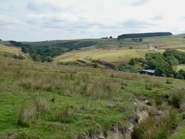
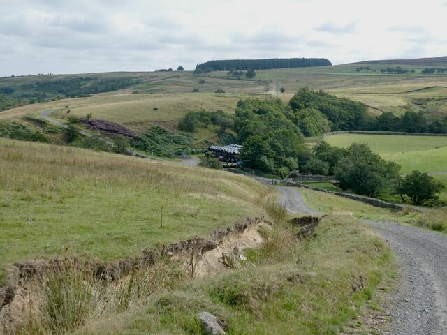
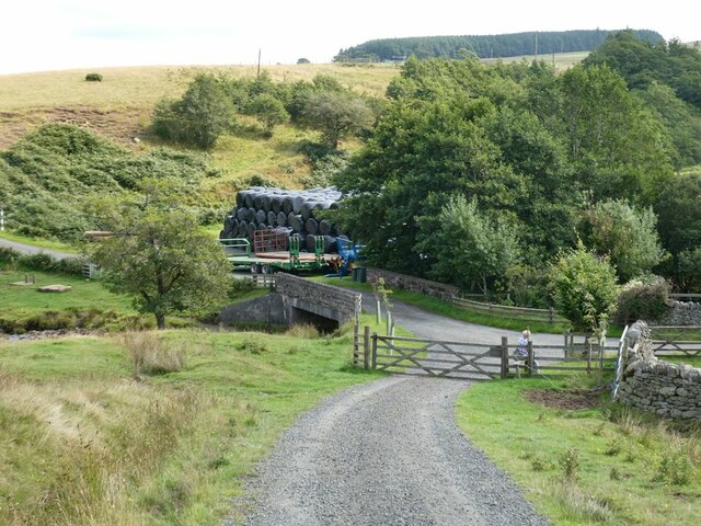
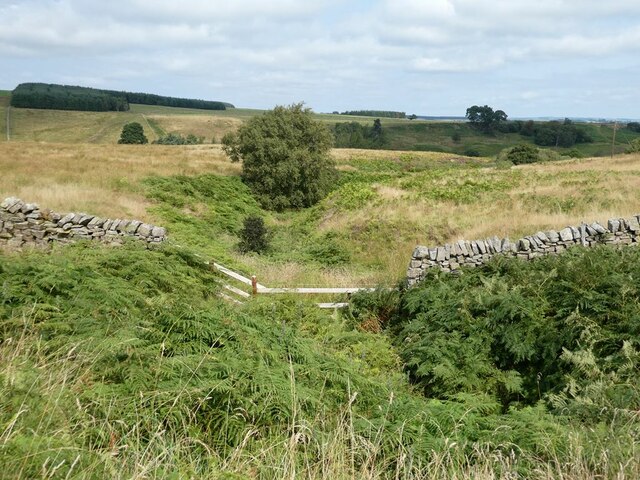
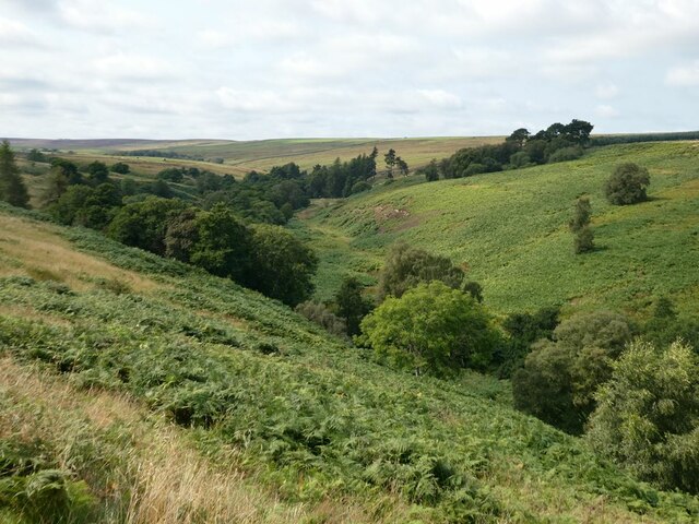
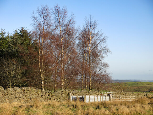
Backstone Cleugh is a picturesque valley nestled in the county of Northumberland, England. Surrounded by rolling hills and lush greenery, this idyllic landscape offers a serene and tranquil escape for visitors seeking natural beauty and outdoor adventures.
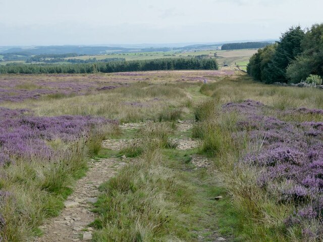
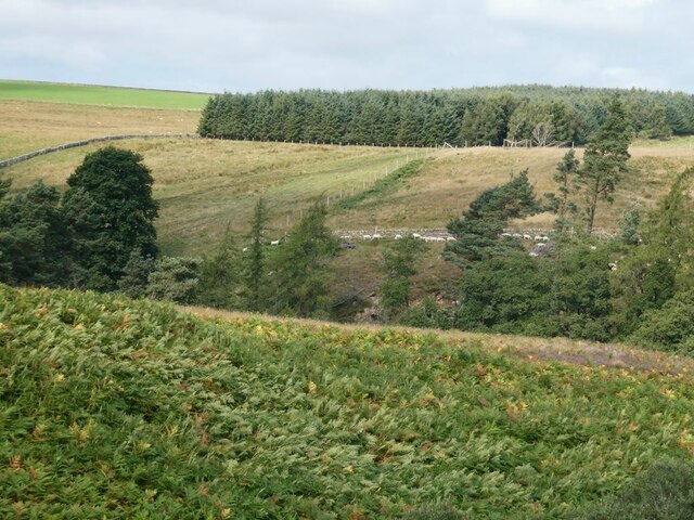
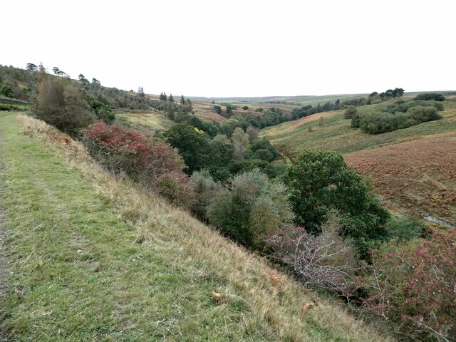
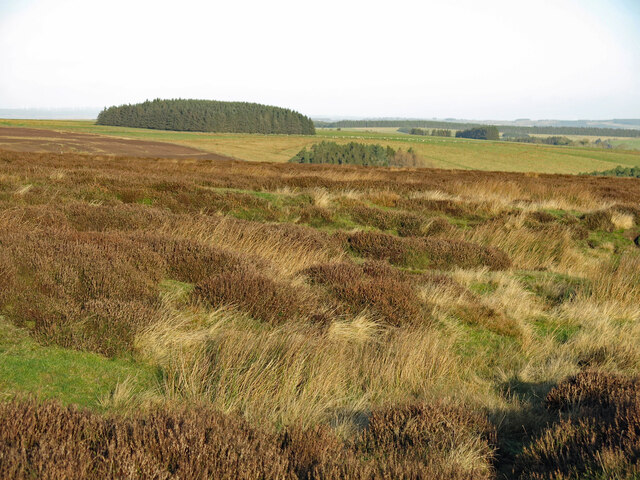
Located in the heart of Northumberland National Park, Backstone Cleugh boasts breathtaking views and a diverse ecosystem. The valley is characterized by its meandering river, which flows through the center, creating a soothing soundtrack of babbling water. The river is flanked by towering trees, adding a touch of enchantment to the scene.
The valley is home to an array of wildlife, making it a haven for nature enthusiasts and birdwatchers. Lucky visitors may spot rare species such as the red squirrel, otters, and a variety of birds including the elusive dipper.
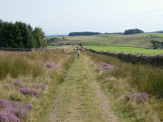
For those who enjoy hiking, Backstone Cleugh offers numerous scenic trails that cater to different fitness levels. The trails wind their way through the valley, passing through woodland, open meadows, and along the riverbank. These pathways offer the perfect opportunity to immerse oneself in the peaceful surroundings while enjoying the fresh country air.
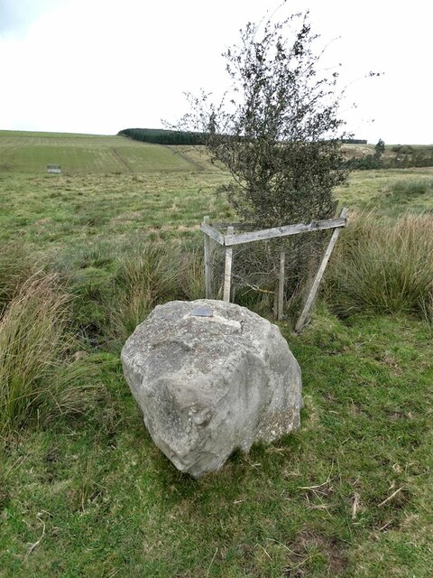
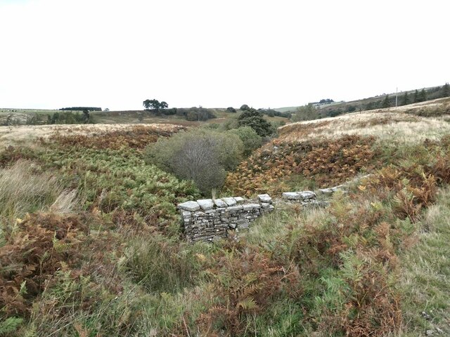
Backstone Cleugh is also steeped in history, with remnants of ancient settlements and historical landmarks dotting the landscape. The valley provides a glimpse into Northumberland's rich heritage, with archaeological sites showcasing the region's past.
Overall, Backstone Cleugh is a hidden gem within Northumberland, offering visitors a chance to escape the hustle and bustle of modern life and reconnect with nature in a truly captivating setting.
If you have any feedback on the listing, please let us know in the comments section below.
Backstone Cleugh Images
Images are sourced within 2km of 54.887007/-2.1889011 or Grid Reference NY8754. Thanks to Geograph Open Source API. All images are credited.


Backstone Cleugh is located at Grid Ref: NY8754 (Lat: 54.887007, Lng: -2.1889011)
Unitary Authority: Northumberland
Police Authority: Northumbria
What 3 Words
///failed.barbarian.revolting. Near Slaley, Northumberland
Nearby Locations
Related Wikis
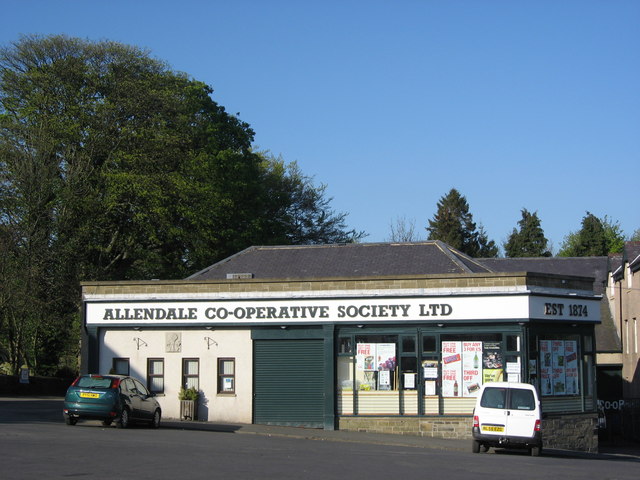
Allendale Co-operative Society
Allendale Co-operative Society is a small consumer co-operative in the village of Allendale, Northumberland, England. Founded in 1874 as the Allendale...

Museum of Classic Sci-Fi
The Museum of Classic Sci-Fi is in Allendale, Northumberland in England. The museum opened in 2018 and houses a collection of more than 200 props, costumes...

Allendale, Northumberland
Allendale, often marked on maps as Allendale Town, is a village and civil parish in south west Northumberland, England. It is located within the North...

Sinderhope
Sinderhope is a hamlet situated on the east Allen Valley in south-west Northumberland. The population is spread over farms in an area approximately 25...
Have you been to Backstone Cleugh?
Leave your review of Backstone Cleugh below (or comments, questions and feedback).