Mary Den

Valley in Aberdeenshire

Scotland

Mary Den

Caves at Aberdour beach From the top of the cliff looking down towards the beach and caves
Caves at Aberdour beach Credit: Ralph Greig

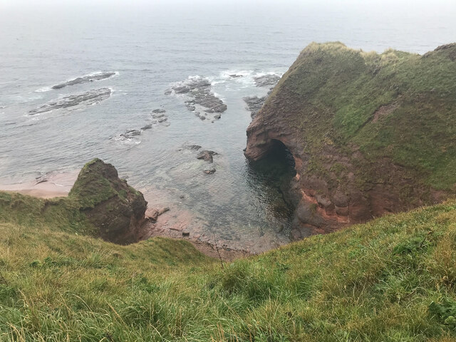
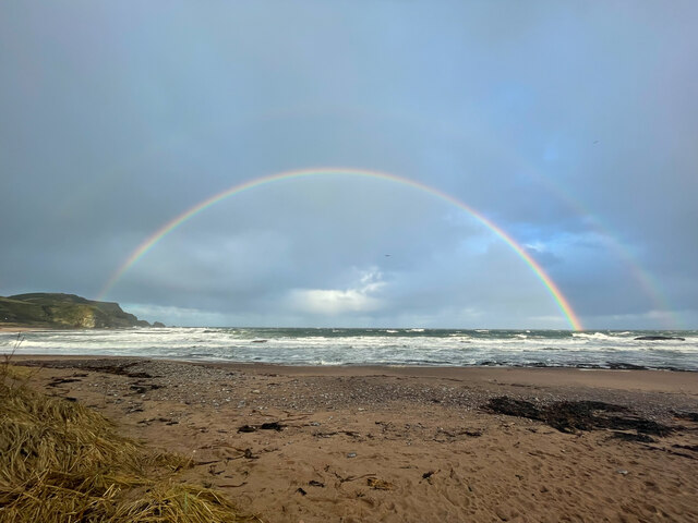
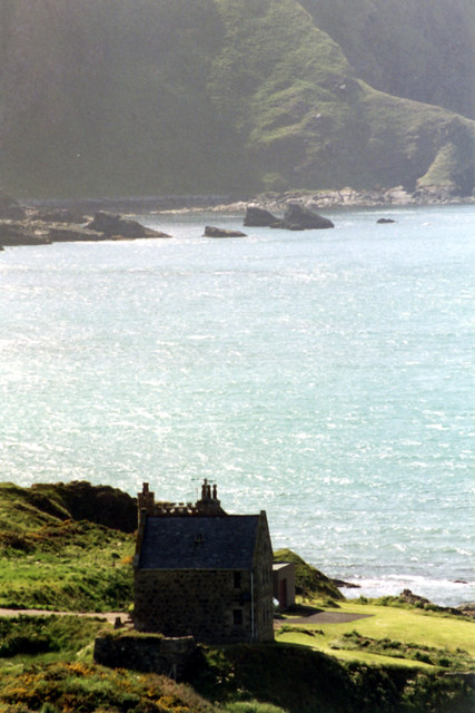
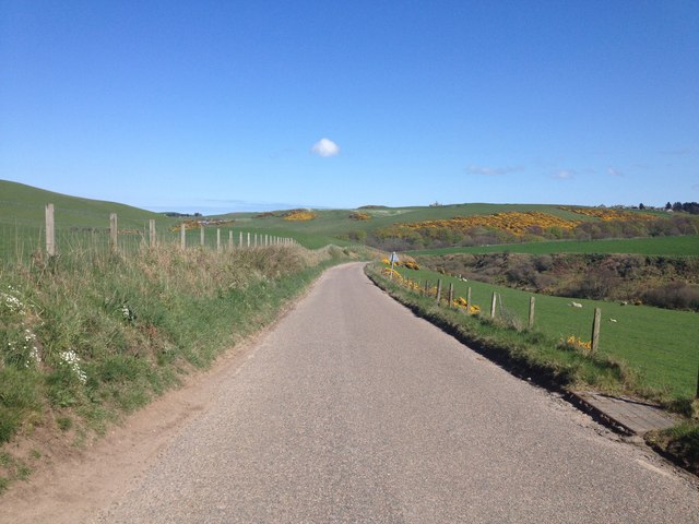
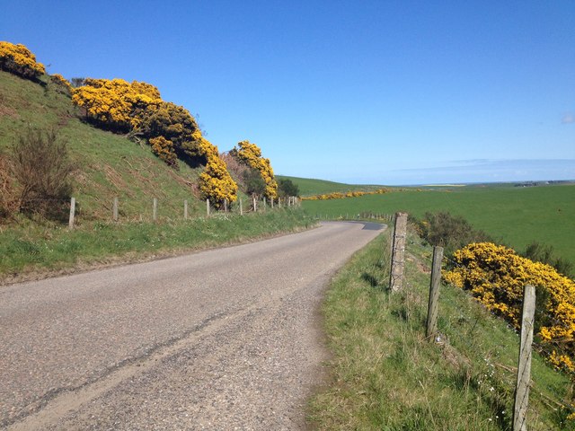
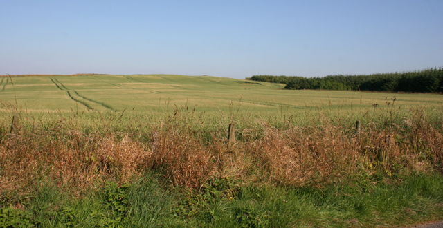
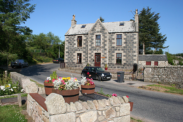
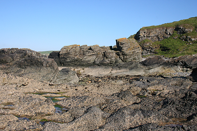
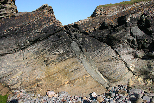
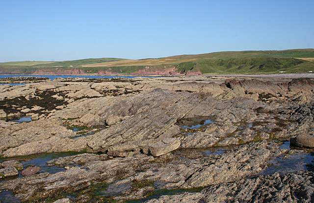
Mary Den is a picturesque valley located in Aberdeenshire, Scotland. Nestled amidst the rolling hills of the region, it offers a tranquil escape for nature enthusiasts and those seeking a peaceful retreat. The valley is characterized by its lush greenery, meandering river, and stunning natural landscapes.

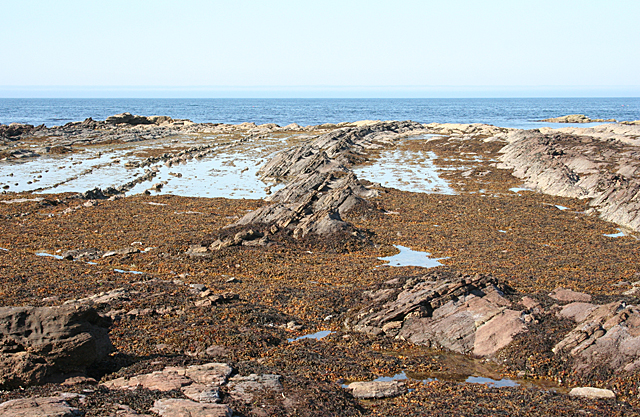
One of the main attractions in Mary Den is the River Don, which flows through the valley, providing a beautiful backdrop for outdoor activities such as fishing, kayaking, and scenic walks along its banks. The river is known for its crystal-clear waters and abundant wildlife, including various species of fish and birds.

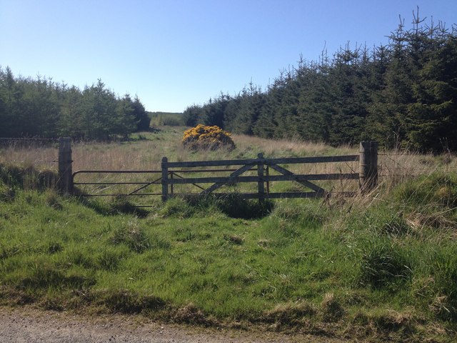
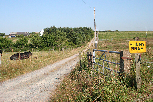
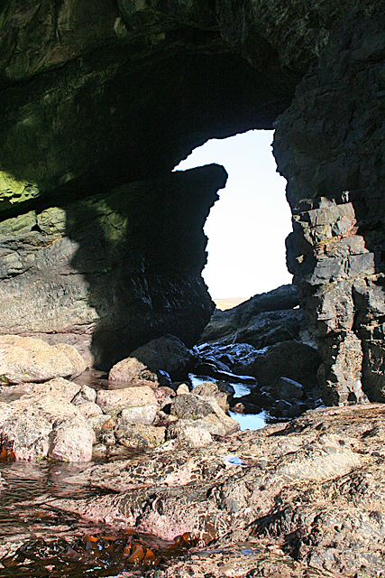
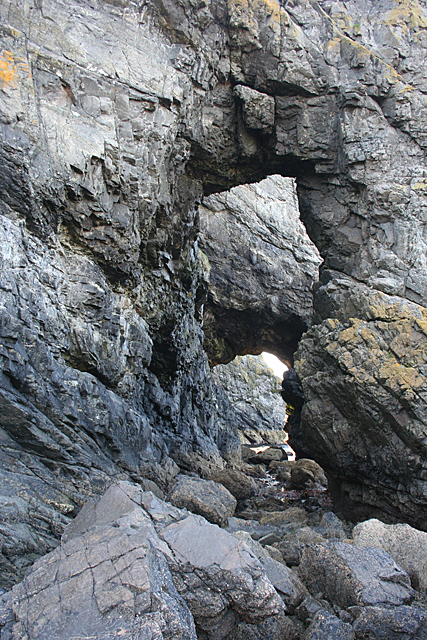
The valley is also home to several walking trails, which allow visitors to explore the surrounding countryside and appreciate the breathtaking views. The trails range in difficulty, catering to both seasoned hikers and casual walkers. Along these paths, visitors can discover ancient woodlands, wildflower meadows, and even the occasional waterfall.

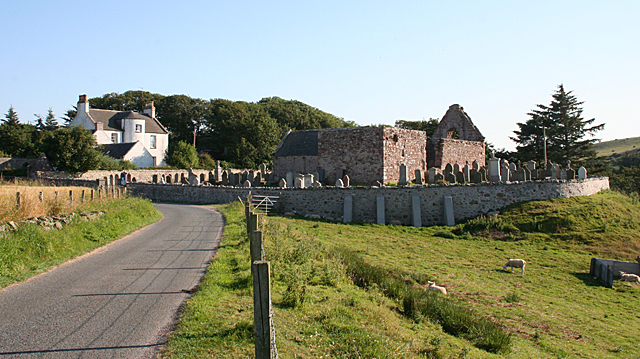
Mary Den is not only a haven for nature lovers but also boasts a rich cultural heritage. The nearby town of Ellon, which is situated just a short distance from the valley, offers historical landmarks such as the ruins of Ellon Castle and the 16th-century St. Mary's Church. Additionally, the area is known for its whisky distilleries, where visitors can learn about the traditional process of whisky production and sample the local spirits.

Overall, Mary Den in Aberdeenshire is a hidden gem, offering a blend of natural beauty and cultural heritage. Whether it's exploring the stunning landscapes, engaging in outdoor activities, or immersing oneself in the local history, this valley has something to offer for everyone.

If you have any feedback on the listing, please let us know in the comments section below.

Mary Den Images

Images are sourced within 2km of 57.664752/-2.1969112 or Grid Reference NJ8863. Thanks to Geograph Open Source API. All images are credited.

Caves at Aberdour beach From the top of the cliff looking down towards the beach and caves
Caves at Aberdour beach
From the top of the cliff looking down towards the beach and caves
Beach Rainbow
Beach Rainbow
Dundarg Castle House A Category B Listed castellated house built by Air Vice Marshall Carnegie in 1937-8 mostly from the Aberdour Free Church. The house is sited within a Scheduled Ancient Monument. Constructed on the site of a prehistoric promontory fort, Dundarg was a late 13th/early 14th century Castle first mentioned in 1334 when it was besieged by and fell to the Warden of Scotland, Sir Andrew de Moray in December that year. The castle was then abandoned although there is some evidence it was briefly re-fortified, perhaps in the period 1550-60.
Dundarg Castle House
A Category B Listed castellated house built by Air Vice Marshall Carnegie in 1937-8 mostly from the Aberdour Free Church. The house is sited within a Scheduled Ancient Monument. Constructed on the site of a prehistoric promontory fort, Dundarg was a late 13th/early 14th century Castle first mentioned in 1334 when it was besieged by and fell to the Warden of Scotland, Sir Andrew de Moray in December that year. The castle was then abandoned although there is some evidence it was briefly re-fortified, perhaps in the period 1550-60.
Minor road near New Aberdour
Forestry near New Aberdour
B9031 near Towie
B9031 near Towie
B9031 near Towie
B9031 near Towie
South Killyquharn Sunny Brae and South Killyquharn share an access road for a couple of hundred metres.
South Killyquharn
Sunny Brae and South Killyquharn share an access road for a couple of hundred metres.
Field of Barley One of many such in this part of the world. Interestingly, the crop doesn't seem to be nearly as ripe here as they are further inland.
Field of Barley
One of many such in this part of the world. Interestingly, the crop doesn't seem to be nearly as ripe here as they are further inland.
Old Manse The type of stonework, with the small pieces between the larger stones, has a special name, which escapes me at the moment. However it's not all that common in this area.

<a href="https://www.geograph.org.uk/photo/6814017">NJ8862 : Rear view of the former Free Church manse, New Aberdour</a> is the rear view of the house.
Old Manse
The type of stonework, with the small pieces between the larger stones, has a special name, which escapes me at the moment. However it's not all that common in this area. NJ8862 : Rear view of the former Free Church manse, New Aberdour is the rear view of the house.
Black Dog The rocks on the shore here are sandstones, and they are dipping at about 30º to the west.
Black Dog
The rocks on the shore here are sandstones, and they are dipping at about 30º to the west.
Natural Arch at Pitjossie This is one of two natural arches, quite close together. It was not easy to get through both of them, and I could not have got any further without getting very wet. I don't mind that for me, but I don't like getting the camera wet! For the reciprocal view see <a href="https://www.geograph.org.uk/photo/4095801">NJ8765 : Natural Arch</a>.
Natural Arch at Pitjossie
This is one of two natural arches, quite close together. It was not easy to get through both of them, and I could not have got any further without getting very wet. I don't mind that for me, but I don't like getting the camera wet! For the reciprocal view see NJ8765 : Natural Arch.
Natural Arch This is the reciprocal view of <a href="https://www.geograph.org.uk/photo/4095796">NJ8765 : Natural Arch at Pitjossie</a>.
Natural Arch
This is the reciprocal view of NJ8765 : Natural Arch at Pitjossie.
Natural Arches Looking through both natural arches from Ceard's Cove to Pitjossie.
Natural Arches
Looking through both natural arches from Ceard's Cove to Pitjossie.
Ceard's Cove The rocks here are metamorphic, and they are overlain by sandstone just a few tens of metres beyond here.
Ceard's Cove
The rocks here are metamorphic, and they are overlain by sandstone just a few tens of metres beyond here.
Metamorphic Rocks This is one of the easternmost of the metamorphic rock outcrops on this coast.
Metamorphic Rocks
This is one of the easternmost of the metamorphic rock outcrops on this coast.
Sandstone Strata These rocks are dipping at about 30º to the north, which is curious because just a short distance away the rocks dip to the west. Another visit, with more time and less tide, is called for!
Sandstone Strata
These rocks are dipping at about 30º to the north, which is curious because just a short distance away the rocks dip to the west. Another visit, with more time and less tide, is called for!
St Drostan's Kirk and Beach House The ruins are those of St Drostan's Kirk, dating from the early 16th century. Beach House is the former manse. It was built by Alexander Laing with William Robertson in Regency style, with a semicircular stair at the rear.
St Drostan's Kirk and Beach House
The ruins are those of St Drostan's Kirk, dating from the early 16th century. Beach House is the former manse. It was built by Alexander Laing with William Robertson in Regency style, with a semicircular stair at the rear.
Show me another place!

Mary Den is located at Grid Ref: NJ8863 (Lat: 57.664752, Lng: -2.1969112)

Unitary Authority: Aberdeenshire

Police Authority: North East

What 3 Words

///dairy.troll.enacts. Near Rosehearty, Aberdeenshire

Related Wikis

New Aberdour

New Aberdour is a small planned village in the Aberdour parish of Aberdeenshire, Scotland, situated south of Aberdour Bay on the Moray Firth. It lies 7...

Rescue from SS William Hope

In the 1884 rescue from SS William Hope in Aberdour Bay off the north coast of Aberdeenshire in Scotland Jane Whyte rescued fifteen sailors from their...
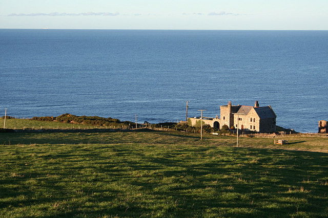
Dundarg Castle

Dundarg Castle is a ruined castle about 2 kilometres (1.2 mi) north-northeast of New Aberdour, Aberdeenshire, Scotland, built within the ramparts of an...

Aberdour House (Aberdeenshire)

Aberdour House is Category A listed country house in New Aberdour, Aberdeenshire, Scotland. Dating to around 1740, it was built by John Forbes, of Knappernay...

Auchmeddan Castle

Auchmeddan Castle was a castle, most likely dating from the 16th century, now demolished, located 9 miles (14 km) west of Fraserburgh, at Mains of Auchmeddan...

Pennan

Pennan (Scots: Peenan) is a small village in Aberdeenshire, Scotland, consisting of a small harbour and a single row of homes, including a hotel. It is...

Tyrie, Aberdeenshire

Tyrie is a hamlet and parish in the Banff and Buchan district of Aberdeenshire, north-east Scotland. Tyrie is located on the A98 road, around 5.5 miles...
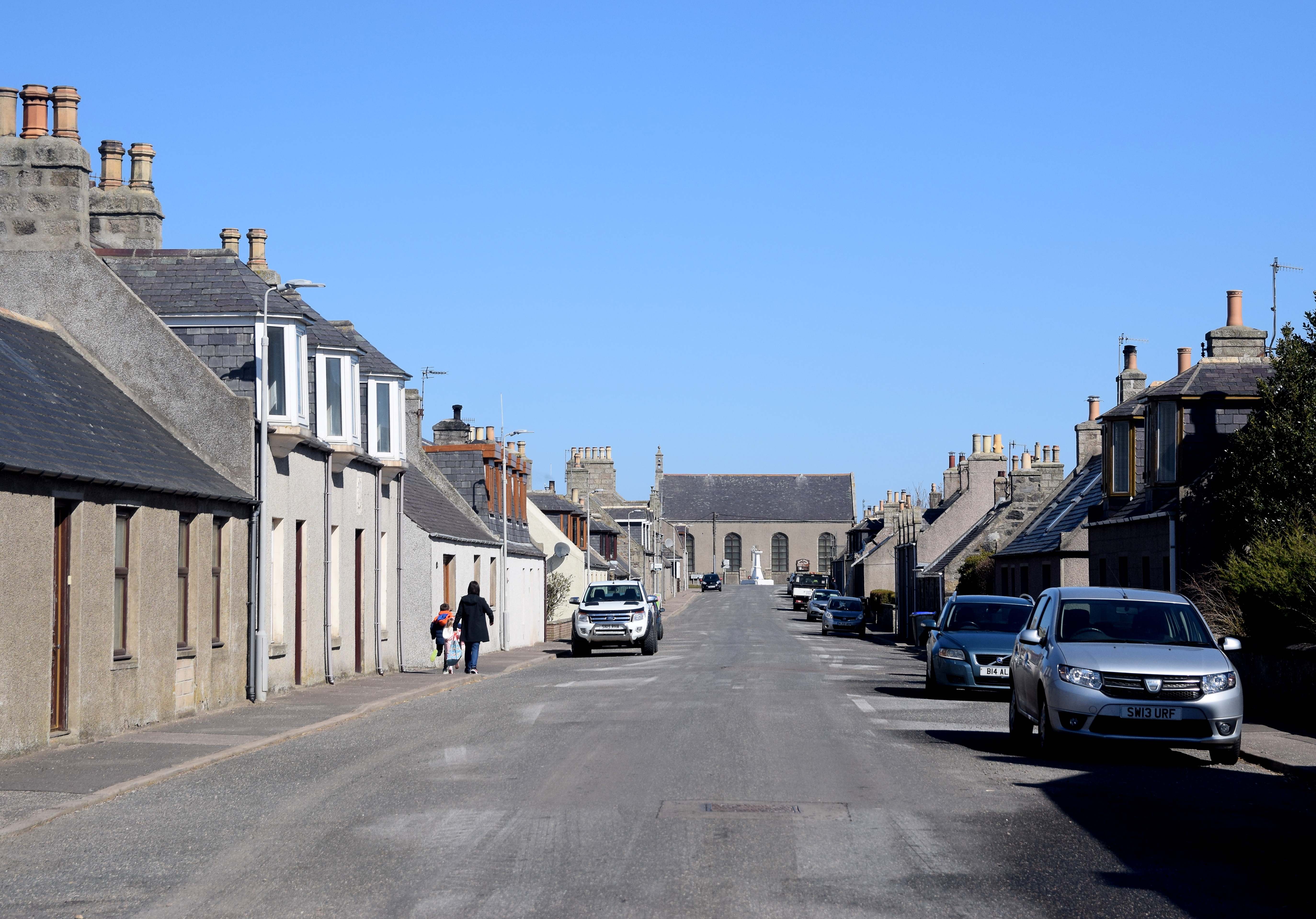
Rosehearty

Rosehearty (Scottish Gaelic: Ros Abhartaich) is a settlement on the Moray Firth coast, four miles west of the town Fraserburgh, in the historical county...

Nearby Amenities

Located within 500m of 57.664752,-2.1969112
Mill Farm
Place: farm
Lat/Long: 57.6682784/-2.1956918
Power: pole
Lat/Long: 57.6611264/-2.1965361
Power: pole
Lat/Long: 57.6606795/-2.196178
Power: pole
Lat/Long: 57.6627864/-2.1979563
Power: pole
Lat/Long: 57.6617165/-2.1970457
Power: pole
Lat/Long: 57.6679936/-2.1951044
Power: pole
Lat/Long: 57.668052/-2.1950753
Power: pole
Lat/Long: 57.664114/-2.1952787
Power: pole
Lat/Long: 57.6646328/-2.194918
Power: pole
Lat/Long: 57.6651753/-2.1947075
Power: pole
Lat/Long: 57.6656856/-2.1945131
Power: pole
Lat/Long: 57.6661487/-2.1943928
Power: pole
Lat/Long: 57.6669559/-2.1939589
Power: pole
Lat/Long: 57.6676152/-2.1942756
Power: pole
Lat/Long: 57.6674511/-2.1937795
Power: pole
Lat/Long: 57.6678086/-2.1933255
Power: pole
Lat/Long: 57.6622945/-2.1975494
Material: wood
Power: pole
Lat/Long: 57.6632822/-2.198391
Power: pole
Lat/Long: 57.6690041/-2.1956703
The data included in this document is from www.openstreetmap.org. The data is made available under ODbL.

Have you been to Mary Den?

Leave your review of Mary Den below (or comments, questions and feedback).