Hen Hole

Valley in Northumberland

England

Hen Hole

The Pennine Way near Hen Hole
The Pennine Way near Hen Hole Credit: Dave Kelly

The requested URL returned error: 429 Too Many Requests

If you have any feedback on the listing, please let us know in the comments section below.
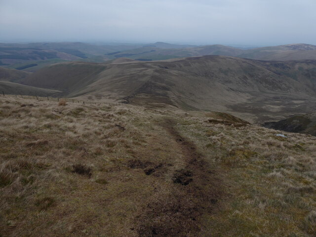
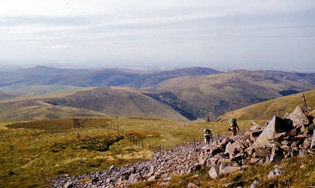
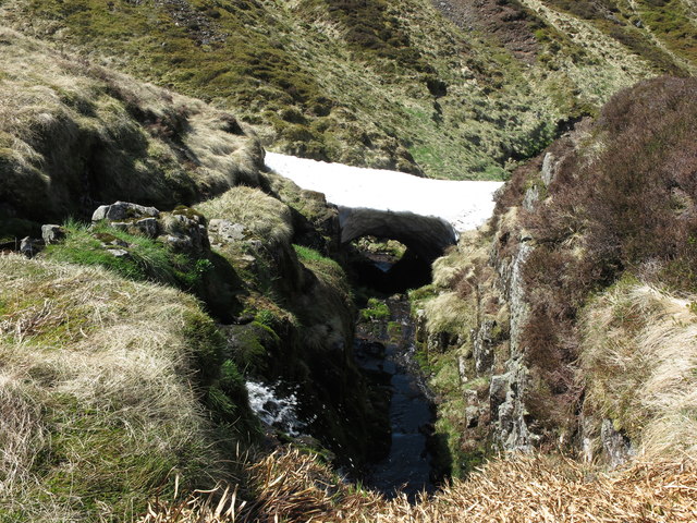
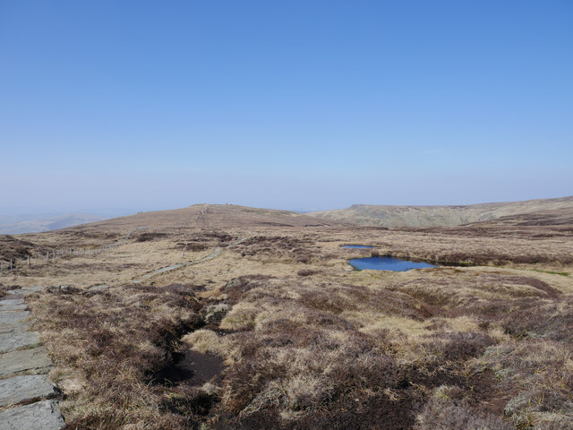
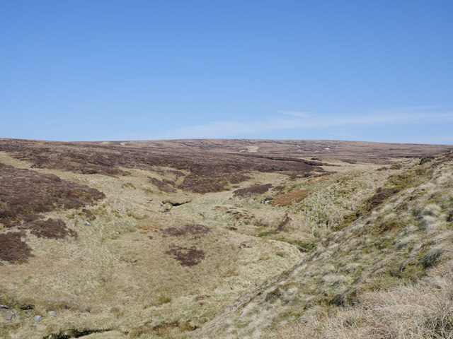
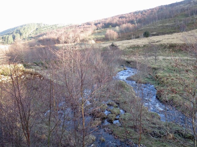
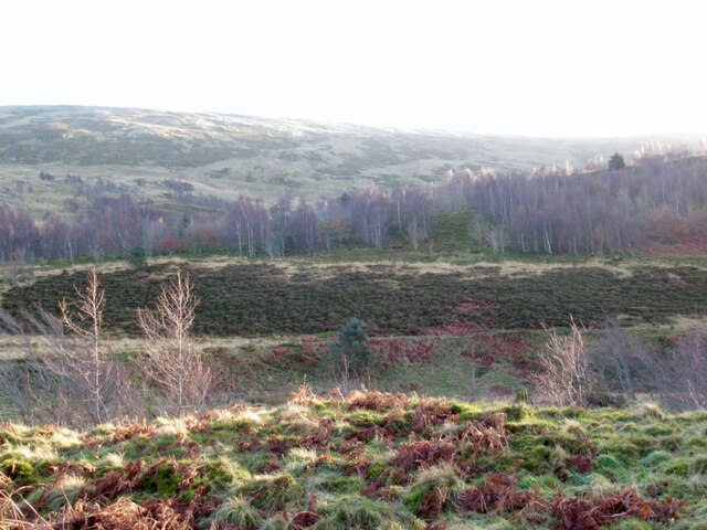
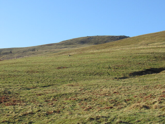
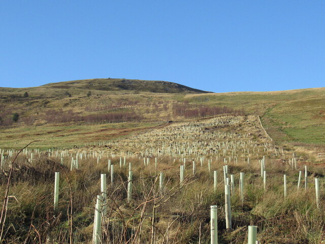
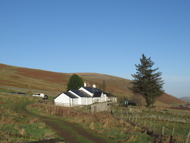
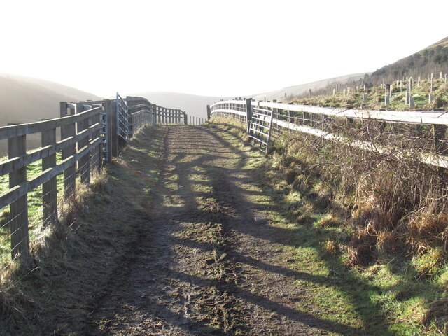
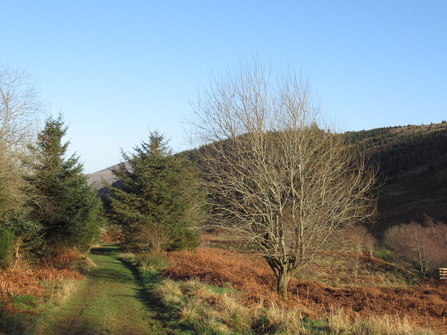
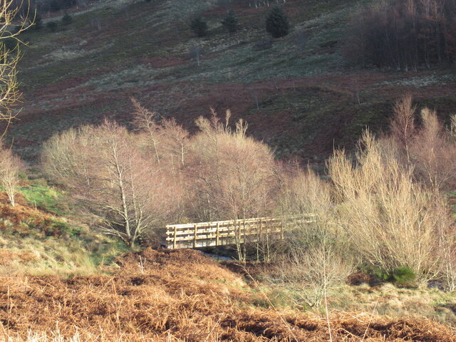
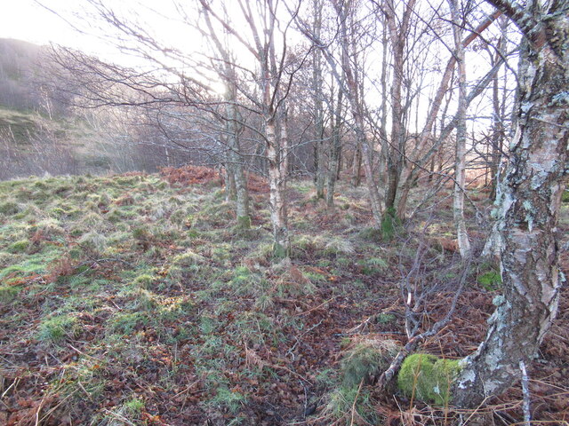
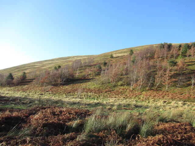
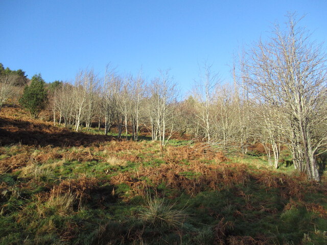
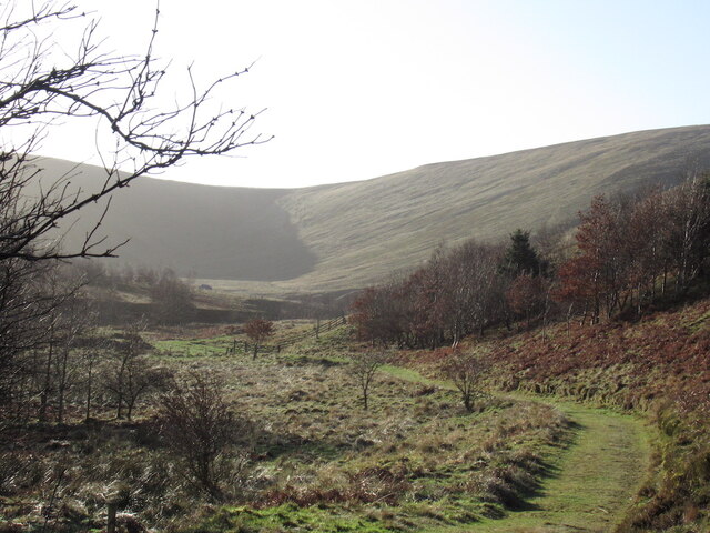
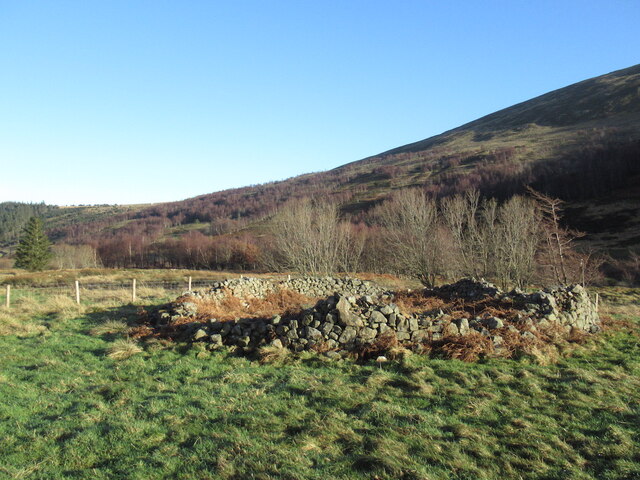
Hen Hole Images

Images are sourced within 2km of 55.4801/-2.1910671 or Grid Reference NT8820. Thanks to Geograph Open Source API. All images are credited.

The Pennine Way near Hen Hole
Approaching Auchope Cairn from the west
Snow bridge over College Burn On more than one occasion I have visited this spot in late spring to find a substantial snow bridge over the fledgling College Burn. On this occasion it was subsequently reported that this area of snow was the last to be found in England or Wales. For a selection of detailed free to download walking routes in the area visit <span class="nowrap"><a title="www.cheviotwalks.co.uk" rel="nofollow ugc noopener" href="http://www.cheviotwalks.co.uk">Link</a><img style="margin-left:2px;" alt="External link" title="External link - shift click to open in new window" src="https://s1.geograph.org.uk/img/external.png" width="10" height="10"/></span>
Snow bridge over College Burn
On more than one occasion I have visited this spot in late spring to find a substantial snow bridge over the fledgling College Burn. On this occasion it was subsequently reported that this area of snow was the last to be found in England or Wales. For a selection of detailed free to download walking routes in the area visit LinkExternal link
Pennine Way towards Auchope Cairn The Pennine Way stretches off towards Auchope Cairn, in the distance, left of centre.  To the right of Auchope Cairn lies the Hen Hope, in line with the peaty pools in the foreground.
Pennine Way towards Auchope Cairn
The Pennine Way stretches off towards Auchope Cairn, in the distance, left of centre. To the right of Auchope Cairn lies the Hen Hope, in line with the peaty pools in the foreground.
College Burn The College Burn in its infancy, draining peat moorland between The Cheviot and Cairn Hill.
College Burn
The College Burn in its infancy, draining peat moorland between The Cheviot and Cairn Hill.
College Burn In an area of young and thriving native woodland.  Erosion scars from flood events are rapidly stabilised by self seeded alder.
College Burn
In an area of young and thriving native woodland. Erosion scars from flood events are rapidly stabilised by self seeded alder.
Woodland, College Burn A young native woodland upstream of Mounthooly.
Woodland, College Burn
A young native woodland upstream of Mounthooly.
East side of The Schil Above Mounthooly.
East side of The Schil
Above Mounthooly.
Replanted woodland, Mounthooly A conifer strip has been replaced.
Replanted woodland, Mounthooly
A conifer strip has been replaced.
Bunkhouse, Mounthooly Mounthooly is at the end of the tarred road in the College Valley.
Bunkhouse, Mounthooly
Mounthooly is at the end of the tarred road in the College Valley.
Track, Mounthooly The track to the head of the College Valley.
Track, Mounthooly
The track to the head of the College Valley.
Track, Mounthooly The track to Mounthooly from the head of the College Valley passes through a thriving native woodland,
Track, Mounthooly
The track to Mounthooly from the head of the College Valley passes through a thriving native woodland,
Bridge over the College Burn A recently built bridge upstream of Mounthooly.
Bridge over the College Burn
A recently built bridge upstream of Mounthooly.
Young woodland, College Valley In one of the native woodlands in the College Valley.
Young woodland, College Valley
In one of the native woodlands in the College Valley.
Young woodland, College Valley One of the native woodlands in the College Valley.
Young woodland, College Valley
One of the native woodlands in the College Valley.
Woodland, College Valley In one of the native woodlands in the College Valley.
Woodland, College Valley
In one of the native woodlands in the College Valley.
Head of the College Valley Looking south towards the Border Ridge.
Head of the College Valley
Looking south towards the Border Ridge.
Ruined stell, College Valley
Show me another place!

Hen Hole is located at Grid Ref: NT8820 (Lat: 55.4801, Lng: -2.1910671)

Unitary Authority: Northumberland

Police Authority: Northumbria

What 3 Words

///blunt.immune.pioneered. Near Kirknewton, Northumberland

Nearby Locations

Hen Hole

Related Wikis

Cheviot Hills

The Cheviot Hills (), or sometimes The Cheviots, are a range of uplands straddling the Anglo-Scottish border between Northumberland and the Scottish Borders...

The Cheviot

The Cheviot () is an extinct volcano and the highest summit in the Cheviot Hills and in the county of Northumberland. Located in the extreme north of England...

Windy Gyle

Windy Gyle is a mountain in the Cheviot Hills range, on the border between England and Scotland. Like the other hills in the area, it is rounded and grass...

Hedgehope Hill

Hedgehope Hill is a mountain in the Cheviot Hills of north Northumberland in northeast England, and categorised as a Hewitt. At a height of 714 metres...

Have you been to Hen Hole?

Leave your review of Hen Hole below (or comments, questions and feedback).